Parking
Start at Llyn Tegid foreshore car park in Bala. This is a one-way walk, so arrange return transport from the Commemorative Monument before setting out.
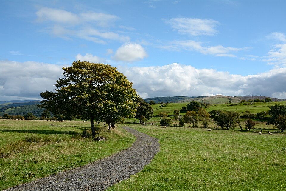
Eryri National Park, WA
Rolling one-way hike above Llyn Tegid with wide Arenig views
Overview
The views change constantly: Llyn Tegid below you, the Arenig hills across the valley, and a lot of open countryside in between. The historic and rural sequence gives the day some structure too, from farmyards and woodland to heath, riverbank and the fort site. It is a rewarding route for photography, with plenty of open ground and repeated lake and mountain views rather than one single lookout.
 Parkwolf’s verdictThe payoff
Map & elevation
Plan your hike

The highest, rockiest slopes around here are a summer buffet for grizzly bears.
Eryri Tour Guide
Parkwolf is a GPS audio tour guide for Eryri National Park. As you drive, it chimes in with what’s ahead: hidden gems, upcoming stops, history, geology, and wildlife, right through your car’s speakers.
Recorded for this trailhead
Y Bala Town and Lake Walk“You're approaching Y Bala, a Welsh-speaking market town with the lake, river and high street close together. I'd start at the foreshore and take the three-point-two-kilometre Town, River and Lake Path.”
Plays as you drive up to this trailhead in the Parkwolf Eryri Tour Guide.
More stories near here in the app
“Fantastic app with many points of information… It’s great to just turn on while you’re driving and it gives you an audio tour of the national Park. We love it!!!!”


Trail guide
This is a 10 km (6.2 mile) one-way route along the hills above the northern shore of Llyn Tegid, and it takes about five hours at a steady walking pace. It starts at the Llyn Tegid foreshore car park in Bala, on the edge of town, and finishes at the Commemorative Monument near the southern end of the route, after the Afon Lliw and the bridge section. Plan it as a point-to-point day out rather than a loop.
From the foreshore you follow pavement past the Fron Feuno car park at Llanycil, then take the Fron Feuno farm track and public footpath through trees and fields. The route crosses the Nant Gwenwyn Meirch stream by footbridge, passes Plas Moel y Garnedd Caravan Park, then climbs by Moel y Garnedd Uchaf and Ty'n y Rhos to the open heath at Gwastadros. After that it links country road and footpaths via Llwyn Mawr Uchaf and Llwyn Mawr Isaf, drops through Coed Swch y Pentre woodland, and passes along the northern side of Caer Gai, the site of an old Roman fort. The last stretch runs through Weirglodd Wen and Weirglodd Ddu, past a chapel, along the Afon Lliw riverbank, and out to the main road and bridge before the monument.
Moderate for a reasonably fit walker. There is no technical mountain section, but the ground rolls rather than climbing once and descending once: roughly 175 m at the start, up over 280 m in the middle third, back down near 170 m by the finish, with several smaller rises along the way. The friction is distance, uneven ground, and the cumulative five hours, plus the concentration needed to navigate between farms, field boundaries and road links.
Expect a genuine mixed bag. Pavement at the start, farm tracks, field paths and stiles, a stream footbridge, open heath that can be rough and vague underfoot, woodland, and sections of country road with crossings, including the main road near the end. This is not a surfaced or level path, and the open middle section has little shelter, so dress for the conditions you find on the hill.
Because the route does not return to its start, you need to arrange your return transport in advance. The start is close to Bala; the finish is at the Commemorative Monument, and you should not count on anything being available there.
Dogs are welcome on the public footpaths and open access land along this route. On open access land they must be on a lead no longer than 2 m from 1 March to 31 July, during the livestock and ground-nesting bird season. On public rights of way keep your dog under close control at all times, and a short lead is sensible near livestock and wildlife, which you should expect given how much of this walk crosses working farmland.
Wildlife
 77 sightingsGrey HeronMost seen around 7 AMSighting map
 17 sightingsTawny OwlMost seen around 6 AMSighting map
 32 sightingsCommon RavenMost seen around 8 AMSighting map
 21 sightingsGreat Spotted WoodpeckerMost seen around 7 AMSighting map
 18 sightingsEuropean RabbitMost seen around 7 AMSighting map
 161 sightingsViviparous LizardMost seen around 10 AMSighting map
Sighting maps show where each species has been reported across Eryri. Wildlife moves, so no sighting is guaranteed.
Keep exploring
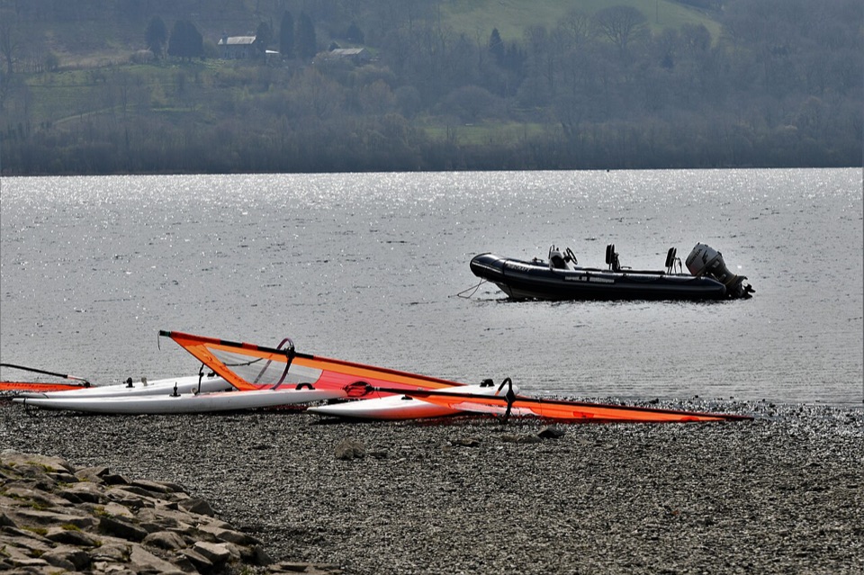 EasyY Bala Town, River and Lake Path3.2 km · 1 hr · At the trailheadFlat 3.2 km lakeside and riverside loop through Y Bala
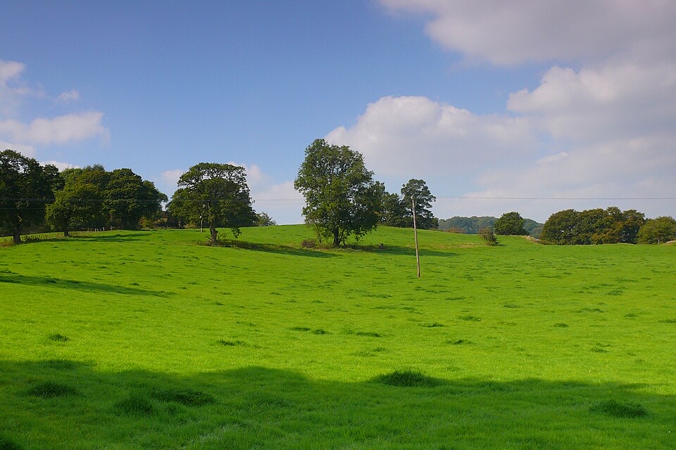 EasyCraig y Fron4.5 km · 1.5 hr · At the trailheadShort hill loop above Y Bala with quarry cave and Berwyn views
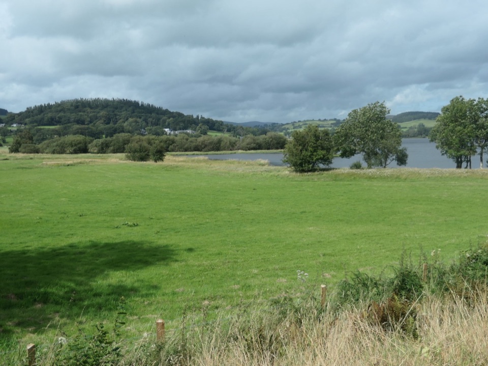 ChallengingLlyn Tegid / Bala Lake Circular Walk22.9 km · 7.5 hr · 0.1 km awayHill-and-field circuit right around Bala Lake, 22.8 km of water views
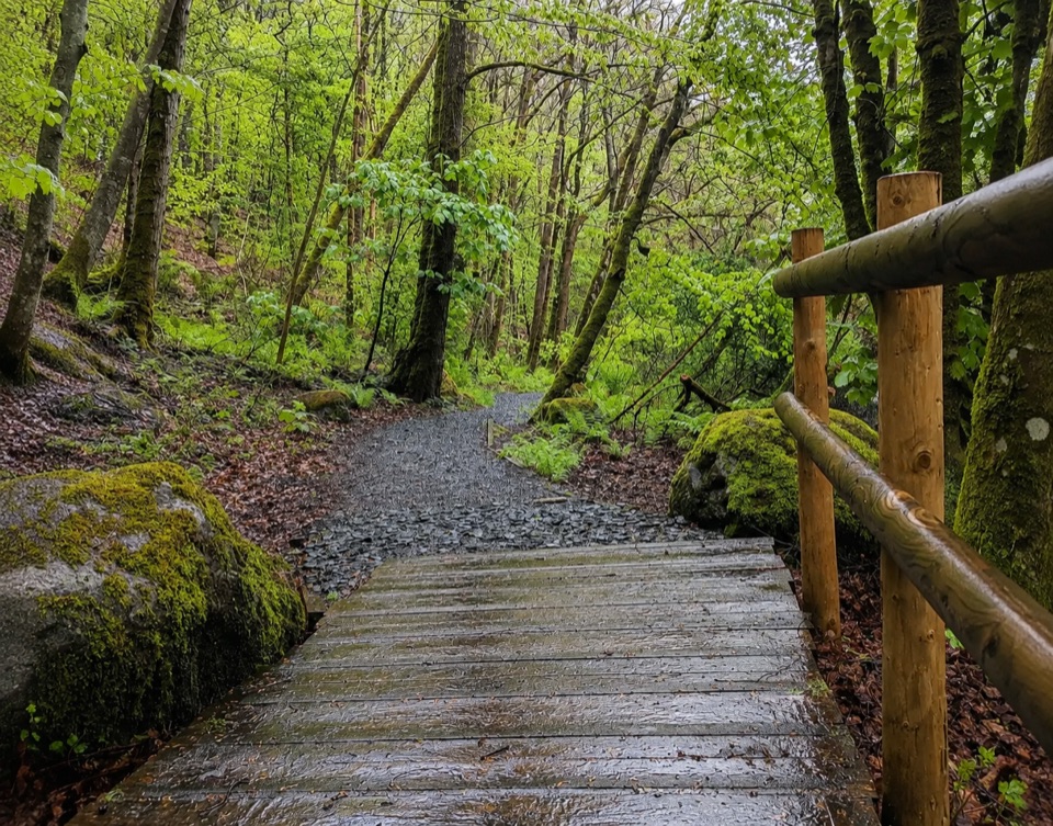 EasyTryweryn Trail4 km · 1.3 hr · 5.4 km awayRiverside loop past whitewater rapids to the dam's old fish trap
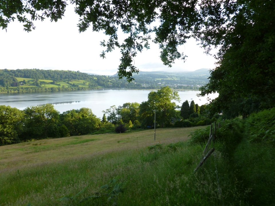 ModerateLlyn Tegid South11.9 km · 5 hr · 7 km awayLong hill walk above Wales's largest natural lake, Llanuwchllyn to Bala
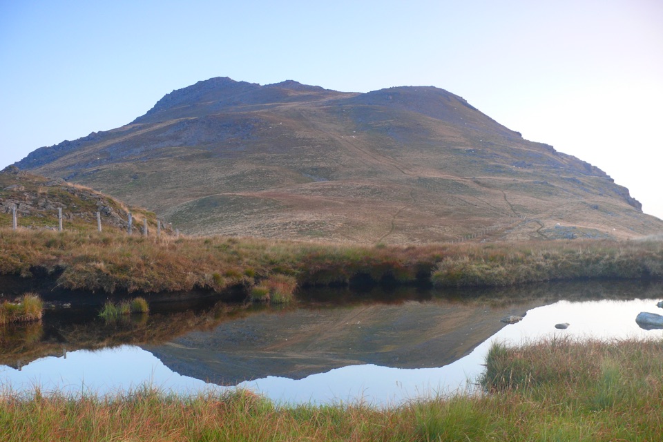 ChallengingArenig Fawr from Arenig12.9 km · 5.5 hr · 9.8 km awayRemote 8-mile loop to a lakeside bothy, trig point and B-17 memorial
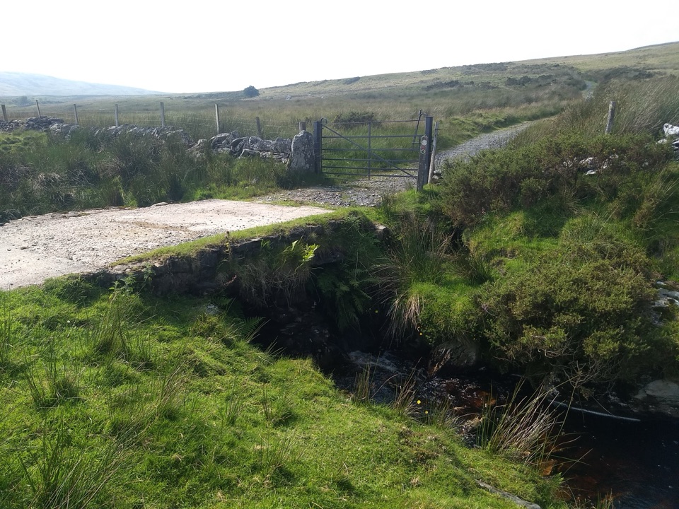 ModerateYsbyty Ifan and Cwm Eidda Walk8 km · 3.5 hr · 15.4 km awayQuiet drovers' road loop through Cwm Eidda, with Carneddau views
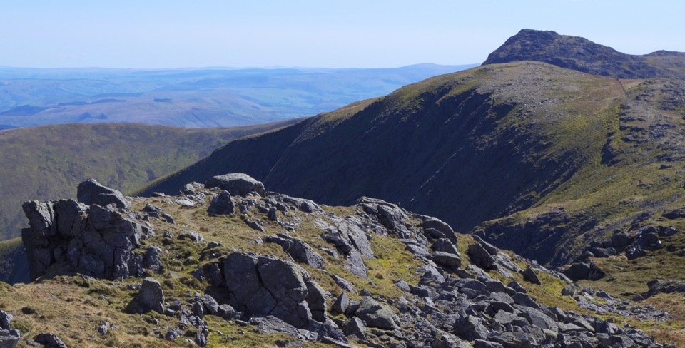 ChallengingAran Benllyn and Aran Fawddwy from Llanuwchllyn21.7 km · 7.5 hr · 17.4 km awayQuiet, steep ridge walk to Aran Fawddwy's rocky 905 m summit
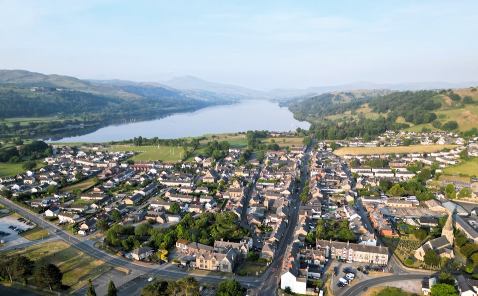 Sight · 0.7 km awayY BalaA Welsh market town with a lake, river, and mountain backdrop
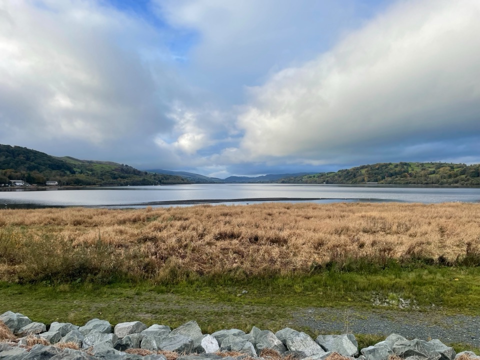 Sight · 2.6 km awayLlyn Tegid (Bala Lake)Wales’ largest natural lake, framed by mountains and weather
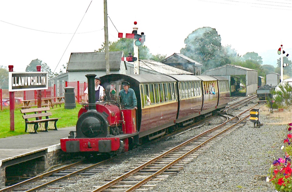 Sight · 6.8 km awayBala Lake RailwayNarrow-gauge steam along Llyn Tegid, with Aran and Arenig views
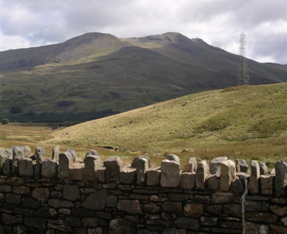 Sight · 9.4 km awayArenig FawrA quiet 854-metre summit with a B-17 memorial and broad views
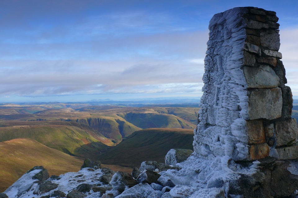 Sight · 14.4 km awayAran FawddwyA rugged 905-metre summit with broad views across mid-Wales
Parkwolf’s Eryri ranking
The audio tour guide for the drive, plus offline maps, trails, and wildlife heatmaps for when the signal drops.




