Parking
Use the designated Llyn Tegid Foreshore Car Park beside the lake in Bala. Park only in marked areas and do not block field entrances or residential access. Public transport links Bala and Llanuwchllyn.
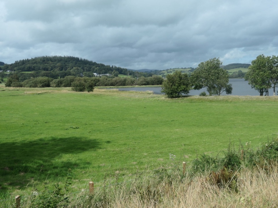
Eryri National Park, WA
Hill-and-field circuit right around Bala Lake, 22.8 km of water views
Overview
Map & elevation
Plan your hike

The highest, rockiest slopes around here are a summer buffet for grizzly bears.
Eryri Tour Guide
Parkwolf is a GPS audio tour guide for Eryri National Park. As you drive, it chimes in with what’s ahead: hidden gems, upcoming stops, history, geology, and wildlife, right through your car’s speakers.
Recorded for this trailhead
Y Bala Town and Lake Walk“You're approaching Y Bala, a Welsh-speaking market town with the lake, river and high street close together. I'd start at the foreshore and take the three-point-two-kilometre Town, River and Lake Path.”
Plays as you drive up to this trailhead in the Parkwolf Eryri Tour Guide.
More stories near here in the app
“Fantastic app with many points of information… It’s great to just turn on while you’re driving and it gives you an audio tour of the national Park. We love it!!!!”


Trail guide
This is the complete circular walk around Llyn Tegid, 22.8 km (14.2 miles) of hills, fields and farm tracks that starts and finishes at the Llyn Tegid Foreshore Car Park in Bala. It links the two official one way lakeside hill routes into one loop: the northern route of about 10 km up to the commemorative monument at Llanuwchllyn, then the southern route of about 12 km back along the hills above the far shore, with a short connector at the foreshore to close the circle. Walked clockwise from the foreshore, you climb away from town onto open ground with views toward Arenig, drop to Llanuwchllyn at the head of the lake, then return through Afon Twrch farmland, tracks near Llechweddystrad and Pantymarch, and patches of woodland before the last stretch back to the shore. The glacial lake itself is the constant payoff, seen from a new angle almost every time the ground rises.
Rate this a hard day hike, around 7 out of 10. Each official half is graded moderate on its own, but combined they make a long open country day of roughly 668 m of ascent, with a high point near 316 m, and most walkers take 7 to 8 hours including stops. The route includes unsurfaced and sometimes steep paths, field edges, farm tracks, stiles and gates. Walking boots and waterproof layers are the right kit, along with food and water for the whole day.
Start from the designated Llyn Tegid Foreshore Car Park beside the lake in Bala, where there are public toilets. Use marked parking only and do not block field entrances or residential access, since much of the route passes working farmland. Bus services run between Bala and Llanuwchllyn, which is useful if you decide to walk only one half or need to cut the day short at the head of the lake. The narrow gauge railway along the lake shore is a landmark you will see from parts of the route.
Navigation matters more here than the distance suggests. The circuit threads together public footpaths, farm tracks and permissive farm access, and the junctions where those meet are the easiest places to go wrong, especially on the southern half. Carry a map and compass or a loaded GPS track and know how to use them, and check your position before committing to a track across fields. In low cloud or fading light the open ground gives few obvious handrails.
Ordinary dogs are welcome on the public footpaths and open access land along the way. On open access land they must be on a lead no longer than 2 m between 1 March and 31 July, and a short lead is sensible at any time of year near livestock or wildlife. Keep dogs under close control throughout, as the route crosses grazing land for long stretches.
Long summer daylight makes the full loop far more comfortable to complete. Early and late light works well from the higher sections, where the lake fills the valley below and the Arenig hills stand out to the west. Lakeshore flowers and birdlife are worth watching for along the water. Llyn Tegid is a glacial lake and home to the gwyniad, a fish found here and few other places, though it lives out of sight in deep water. Bala is a strongly Welsh speaking town, and place names along the route reward a little curiosity.
It is a committing day. This is a long open country route, so carry food and water rather than counting on picking things up along the way. Much of the walking is above the lake rather than beside it, so if you came for shore level water time this is not the walk for that. Bailing out mid route means either retracing the hills you have just crossed or arranging transport from Llanuwchllyn, so start early and judge the weather before setting off.
Wildlife
 77 sightingsGrey HeronMost seen around 7 AMSighting map
 17 sightingsTawny OwlMost seen around 6 AMSighting map
 32 sightingsCommon RavenMost seen around 8 AMSighting map
 21 sightingsGreat Spotted WoodpeckerMost seen around 7 AMSighting map
 18 sightingsEuropean RabbitMost seen around 7 AMSighting map
 161 sightingsViviparous LizardMost seen around 10 AMSighting map
Sighting maps show where each species has been reported across Eryri. Wildlife moves, so no sighting is guaranteed.
Keep exploring
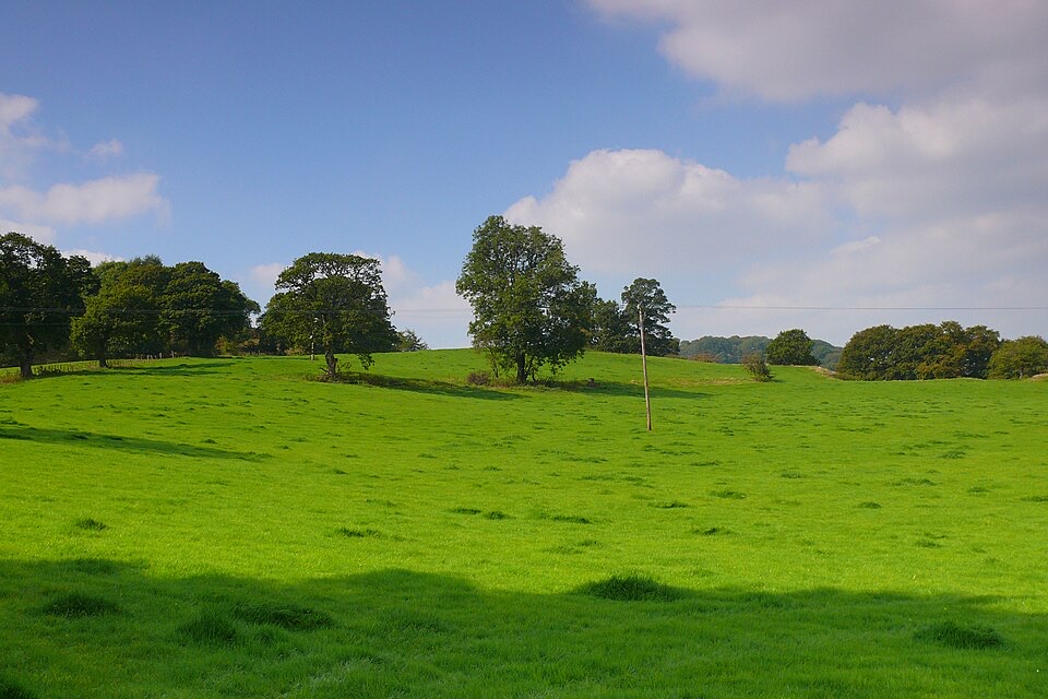 EasyCraig y Fron4.5 km · 1.5 hr · At the trailheadShort hill loop above Y Bala with quarry cave and Berwyn views
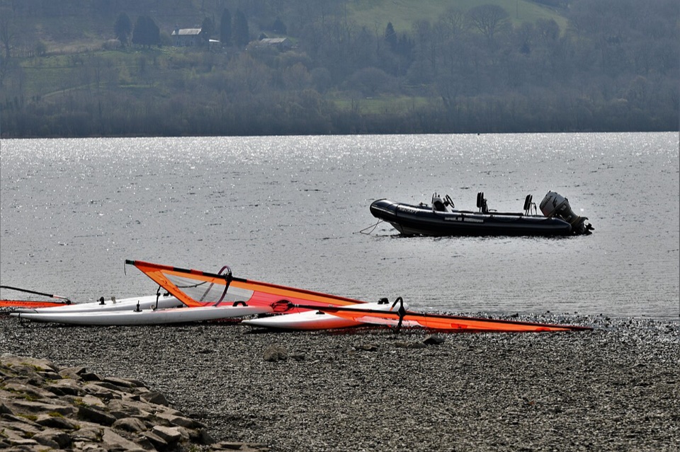 EasyY Bala Town, River and Lake Path3.2 km · 1 hr · At the trailheadFlat 3.2 km lakeside and riverside loop through Y Bala
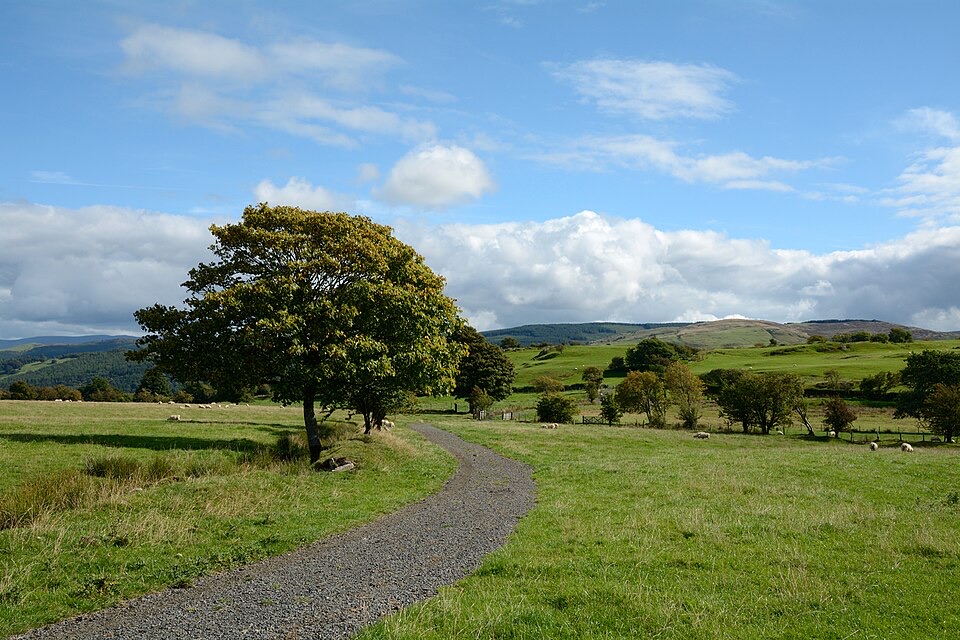 ModerateLlyn Tegid North10 km · 5 hr · 0.1 km awayRolling one-way hike above Llyn Tegid with wide Arenig views
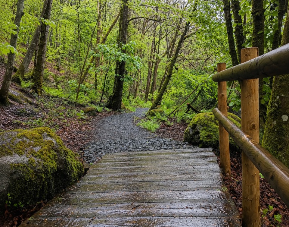 EasyTryweryn Trail4 km · 1.3 hr · 5.5 km awayRiverside loop past whitewater rapids to the dam's old fish trap
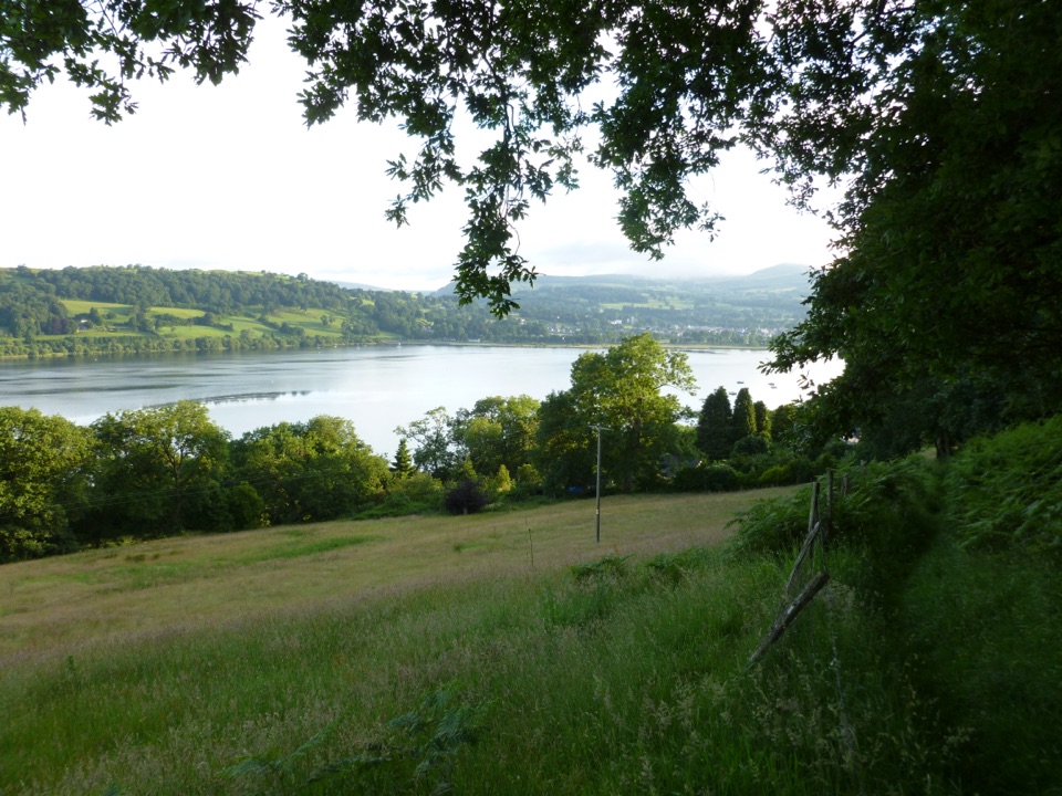 ModerateLlyn Tegid South11.9 km · 5 hr · 7 km awayLong hill walk above Wales's largest natural lake, Llanuwchllyn to Bala
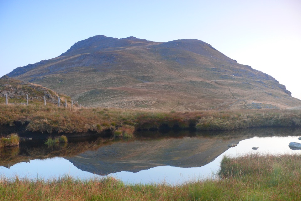 ChallengingArenig Fawr from Arenig12.9 km · 5.5 hr · 9.8 km awayRemote 8-mile loop to a lakeside bothy, trig point and B-17 memorial
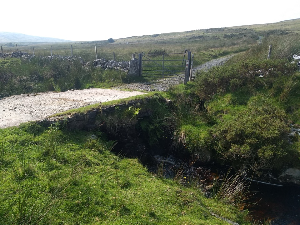 ModerateYsbyty Ifan and Cwm Eidda Walk8 km · 3.5 hr · 15.4 km awayQuiet drovers' road loop through Cwm Eidda, with Carneddau views
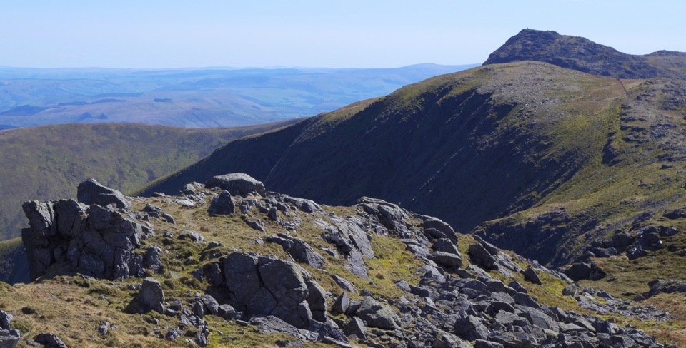 ChallengingAran Benllyn and Aran Fawddwy from Llanuwchllyn21.7 km · 7.5 hr · 17.5 km awayQuiet, steep ridge walk to Aran Fawddwy's rocky 905 m summit
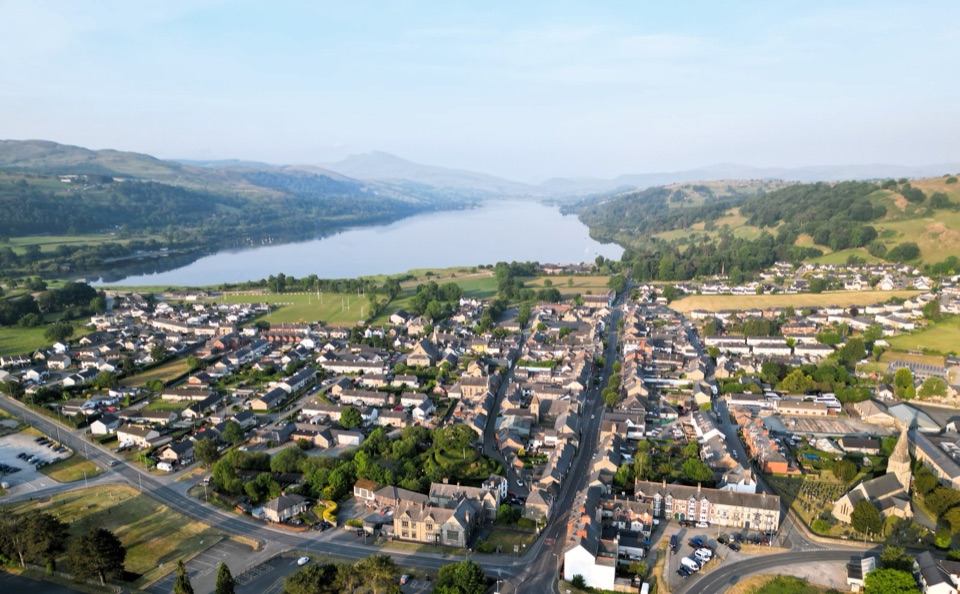 Sight · 0.7 km awayY BalaA Welsh market town with a lake, river, and mountain backdrop
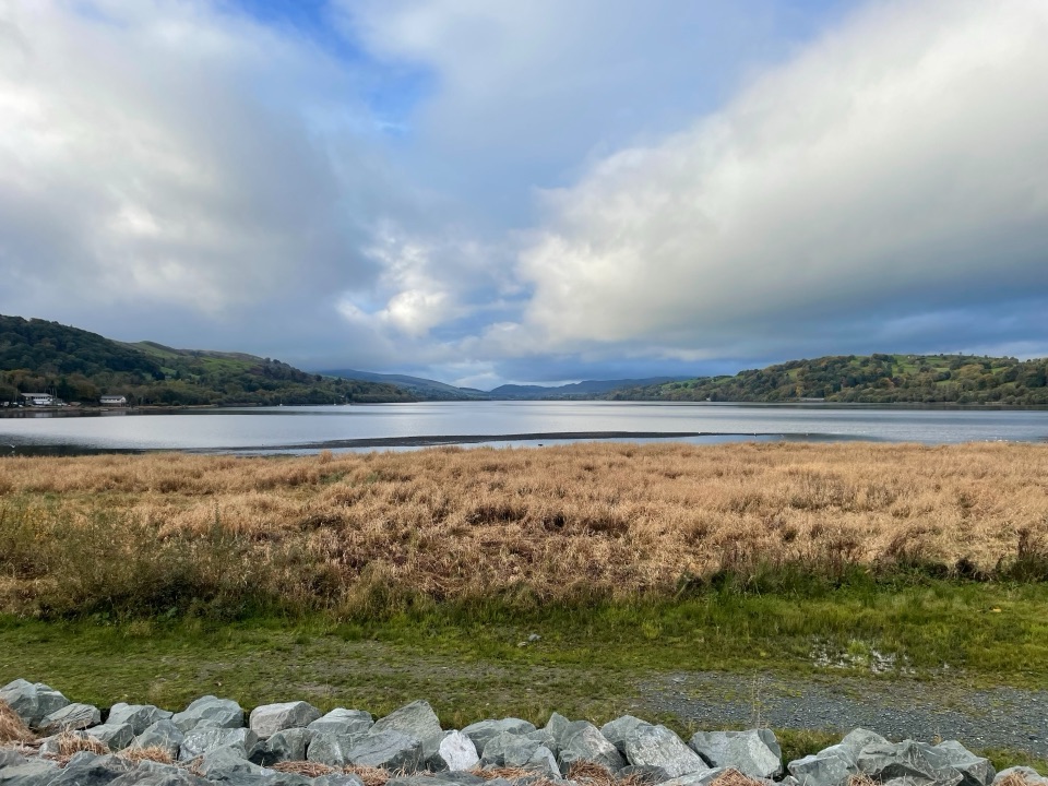 Sight · 2.6 km awayLlyn Tegid (Bala Lake)Wales’ largest natural lake, framed by mountains and weather
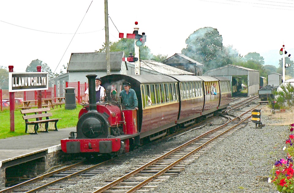 Sight · 6.8 km awayBala Lake RailwayNarrow-gauge steam along Llyn Tegid, with Aran and Arenig views
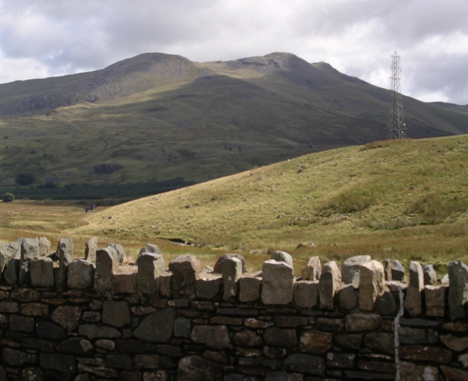 Sight · 9.5 km awayArenig FawrA quiet 854-metre summit with a B-17 memorial and broad views
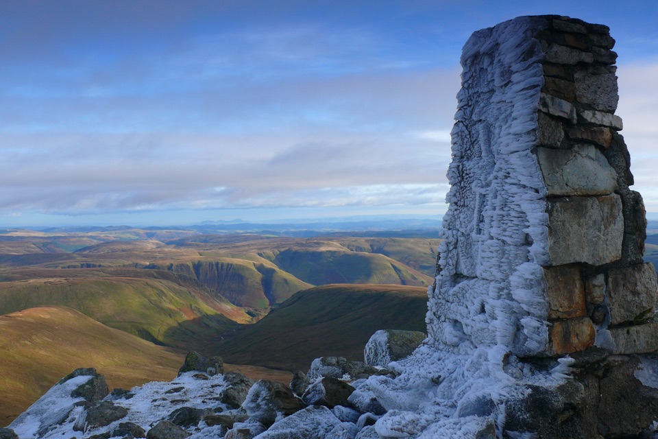 Sight · 14.4 km awayAran FawddwyA rugged 905-metre summit with broad views across mid-Wales
Parkwolf’s Eryri ranking

The audio tour guide for the drive, plus offline maps, trails, and wildlife heatmaps for when the signal drops.




