Parking
Llyn Tegid Foreshore Car Park is the named start and finish. Park only in designated spaces; public toilets, including accessible toilets, are available there year round.
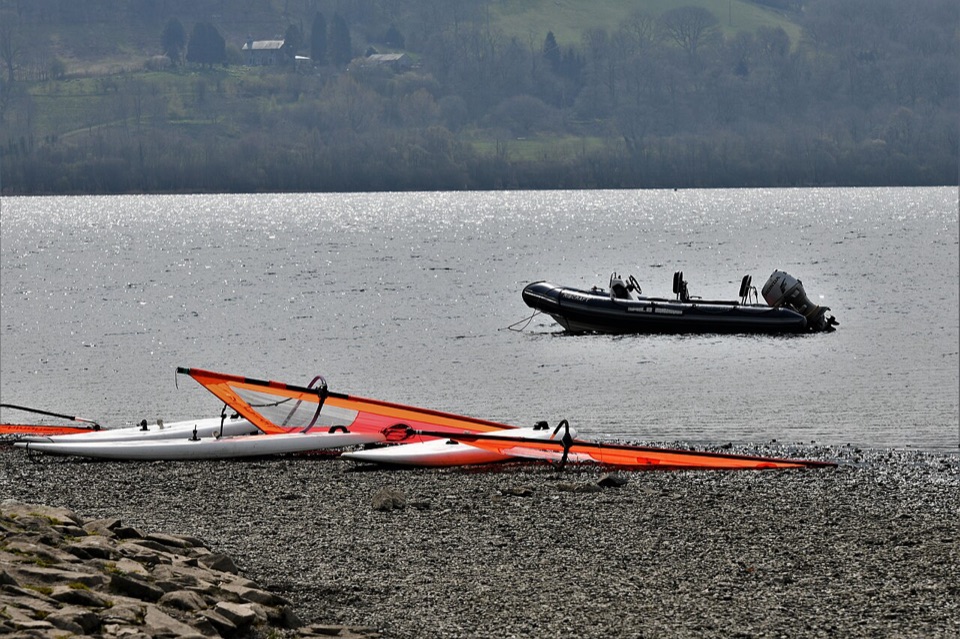
Eryri National Park, WA
Flat 3.2 km lakeside and riverside loop through Y Bala
Overview
Map & elevation
Plan your hike

The highest, rockiest slopes around here are a summer buffet for grizzly bears.
Eryri Tour Guide
Parkwolf is a GPS audio tour guide for Eryri National Park. As you drive, it chimes in with what’s ahead: hidden gems, upcoming stops, history, geology, and wildlife, right through your car’s speakers.
Recorded for this trailhead
Y Bala Town and Lake Walk“You're approaching Y Bala, a Welsh-speaking market town with the lake, river and high street close together. I'd start at the foreshore and take the three-point-two-kilometre Town, River and Lake Path.”
Plays as you drive up to this trailhead in the Parkwolf Eryri Tour Guide.
More stories near here in the app
“Fantastic app with many points of information… It’s great to just turn on while you’re driving and it gives you an audio tour of the national Park. We love it!!!!”


Trail guide
This is a circular loop of 3.2 km for the whole circuit, not a one way distance, starting and finishing at Llyn Tegid Foreshore Car Park. The managing authority allows about 1 hour.
The sequence is straightforward:
The payoff is the mix: open lake views and quiet water at the start, a river and flood bank middle, and a town section that lets you fold in shops, food or a coffee without leaving the walk.
Graded Access for All. It is intended to suit people of all abilities, including conventional wheelchairs and pushchairs, and Tramper-style off-road mobility scooters. The ground is largely flat and even, with no steps and no steep sections. Comfortable shoes or trainers are enough; you do not need boots.
Expect tarmac and pavement, level lakeside path, a flood bank riverside stretch, several gates, a short field section and a spell on town streets. Be clear about the tradeoff: this is a shared, public route rather than a secluded one, and it includes one crossing of the main road, so it needs attention with children, dogs or a scooter. The reward for that is the accessibility, the benches and the amenities within easy reach.
Llyn Tegid is the largest natural lake in Wales, about 3.5 miles long and three quarters of a mile at its widest. It holds the rare native fish known as the Gwyniad, which lives in the deep water, so treat that as background rather than something you will see. The riverside section gives a different feel from the shore, with the confluence as a natural halfway marker.
Use Llyn Tegid Foreshore Car Park as the start and finish, and park only in designated spaces. Public toilets, including accessible toilets, are available there year round.
Dogs are allowed on the public footpaths here under close control, and on a short lead near livestock or wildlife. Given the field section, the road crossing and the shared paths, the practical approach on this loop is to keep your dog on a lead for the whole route.
Wildlife
 77 sightingsGrey HeronMost seen around 7 AMSighting map
 17 sightingsTawny OwlMost seen around 6 AMSighting map
 32 sightingsCommon RavenMost seen around 8 AMSighting map
 21 sightingsGreat Spotted WoodpeckerMost seen around 7 AMSighting map
 18 sightingsEuropean RabbitMost seen around 7 AMSighting map
 161 sightingsViviparous LizardMost seen around 10 AMSighting map
Sighting maps show where each species has been reported across Eryri. Wildlife moves, so no sighting is guaranteed.
Keep exploring
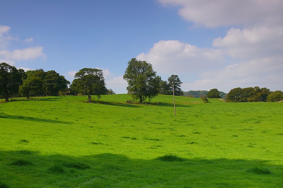 EasyCraig y Fron4.5 km · 1.5 hr · At the trailheadShort hill loop above Y Bala with quarry cave and Berwyn views
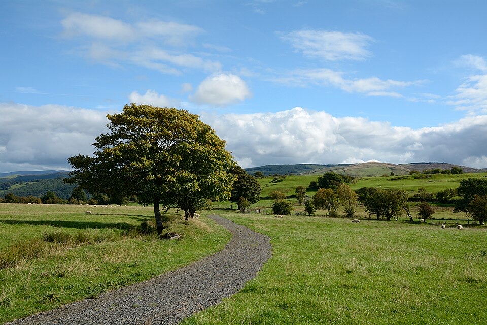 ModerateLlyn Tegid North10 km · 5 hr · At the trailheadRolling one-way hike above Llyn Tegid with wide Arenig views
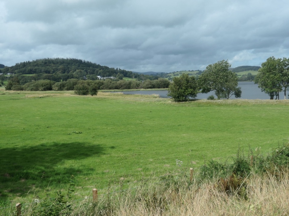 ChallengingLlyn Tegid / Bala Lake Circular Walk22.9 km · 7.5 hr · At the trailheadHill-and-field circuit right around Bala Lake, 22.8 km of water views
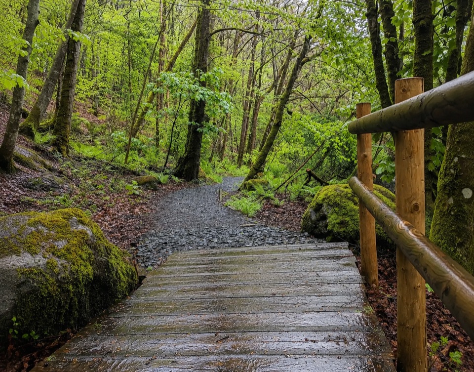 EasyTryweryn Trail4 km · 1.3 hr · 5.4 km awayRiverside loop past whitewater rapids to the dam's old fish trap
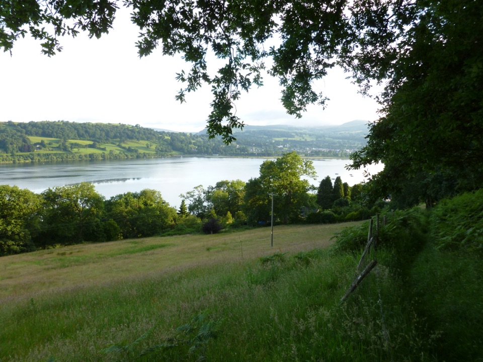 ModerateLlyn Tegid South11.9 km · 5 hr · 7 km awayLong hill walk above Wales's largest natural lake, Llanuwchllyn to Bala
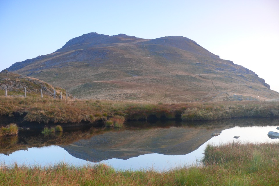 ChallengingArenig Fawr from Arenig12.9 km · 5.5 hr · 9.8 km awayRemote 8-mile loop to a lakeside bothy, trig point and B-17 memorial
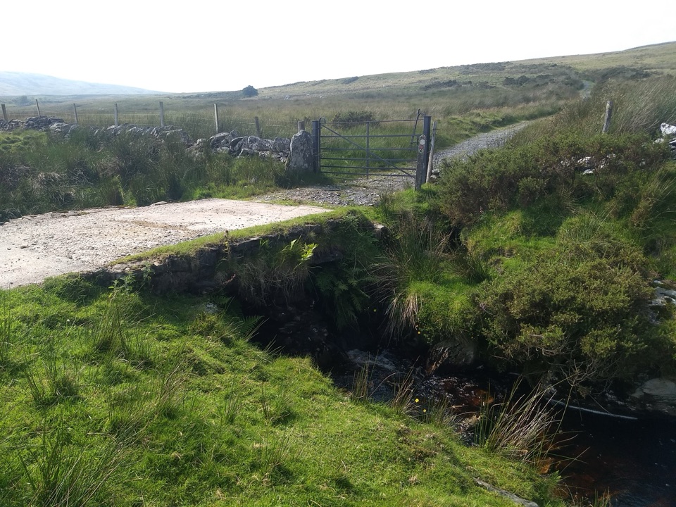 ModerateYsbyty Ifan and Cwm Eidda Walk8 km · 3.5 hr · 15.4 km awayQuiet drovers' road loop through Cwm Eidda, with Carneddau views
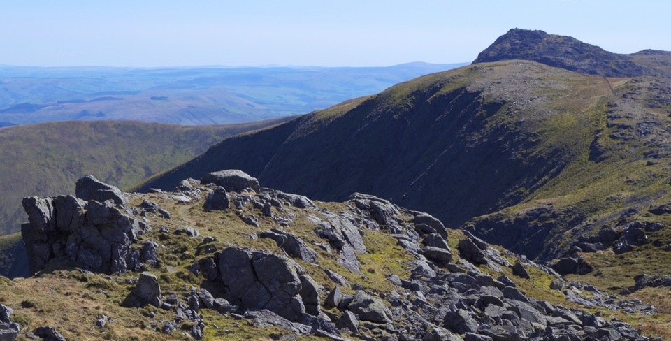 ChallengingAran Benllyn and Aran Fawddwy from Llanuwchllyn21.7 km · 7.5 hr · 17.4 km awayQuiet, steep ridge walk to Aran Fawddwy's rocky 905 m summit
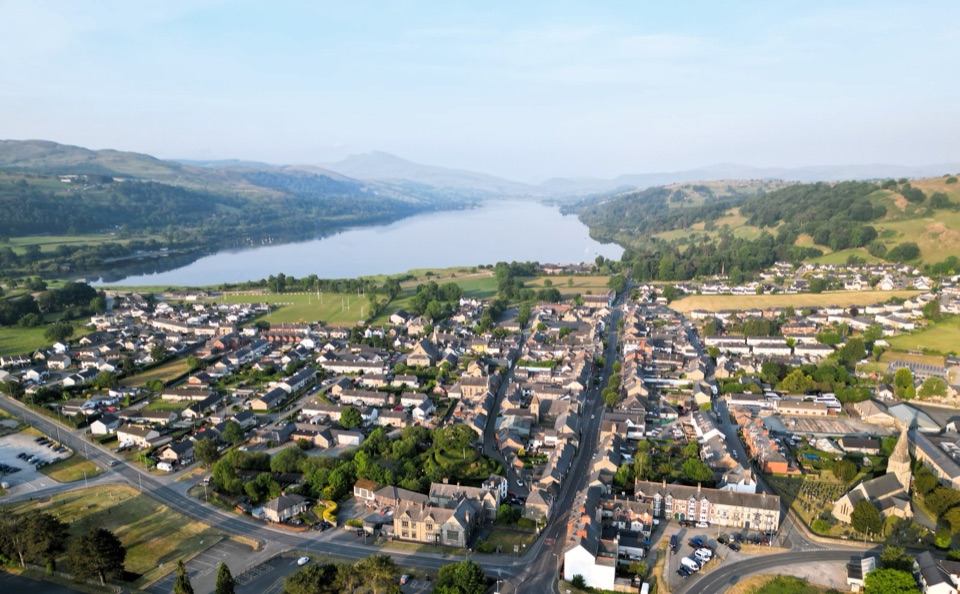 Sight · 0.7 km awayY BalaA Welsh market town with a lake, river, and mountain backdrop
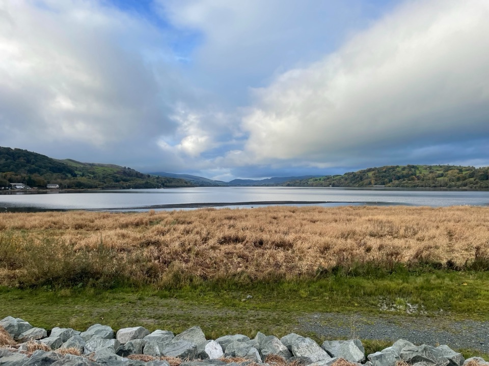 Sight · 2.6 km awayLlyn Tegid (Bala Lake)Wales’ largest natural lake, framed by mountains and weather
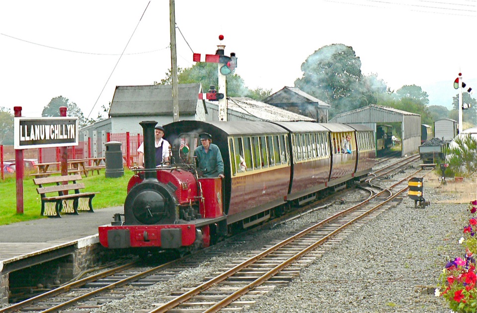 Sight · 6.8 km awayBala Lake RailwayNarrow-gauge steam along Llyn Tegid, with Aran and Arenig views
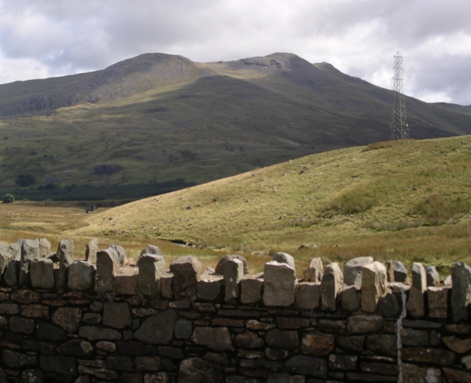 Sight · 9.4 km awayArenig FawrA quiet 854-metre summit with a B-17 memorial and broad views
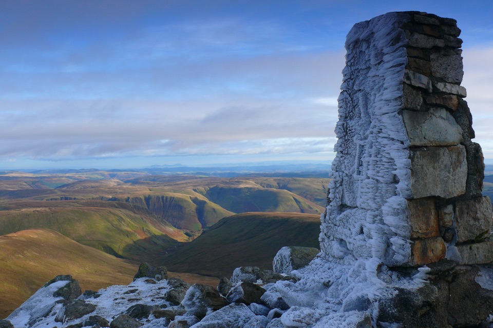 Sight · 14.4 km awayAran FawddwyA rugged 905-metre summit with broad views across mid-Wales
Parkwolf’s Eryri ranking

The audio tour guide for the drive, plus offline maps, trails, and wildlife heatmaps for when the signal drops.




