Parking
The mapped start meets Inside North Fork Road. A formal lot or parking arrangement could not be confirmed.

Glacier National Park, MT
Creekside miles lead to Rogers Meadow and the Trout Lake junction.
Overview
Map & elevation
Plan your hike

The highest, rockiest slopes around here are a summer buffet for grizzly bears.
Glacier Tour Guide
Parkwolf is a GPS audio tour guide for Glacier National Park. As you drive, it chimes in with what’s ahead: hidden gems, upcoming stops, history, geology, and wildlife, right through your car’s speakers.
See the Glacier audio tourRecorded for this trailhead
Camas Creek and Rogers Meadow“You’re nearing Camas Creek Trailhead, where I’d choose the shorter Rogers Meadow outing for broad creek bends beneath the mountains.”
Plays as you drive up to this trailhead in the Parkwolf Glacier Tour Guide.
More stories near here in the app
“Our first time to glacier and we used the audio portion for Going to the Sun Road. Wonderful information with perfect advice of what to see and do along the road.”


Trail guide
Camas Creek Trail is about 7.1 miles one way from Inside North Fork Road to the junction near Trout Lake, following a valley corridor through forest and Rogers Meadow. It is a remote connector into the West Lakes backcountry, not a loop or a short walk to the lake. The mapped line ends at the junction, before Trout Lake itself.
Unless you have a planned continuation and pickup from another trailhead, expect to retrace the route: that makes about 14.1 miles round trip and most of a day. The valley route is gentler than the steep Howe Ridge approach, but it is still long and remote. A shorter walk turns around at Rogers Meadow, roughly 3.2 miles from the road, for about 6.4 miles round trip.
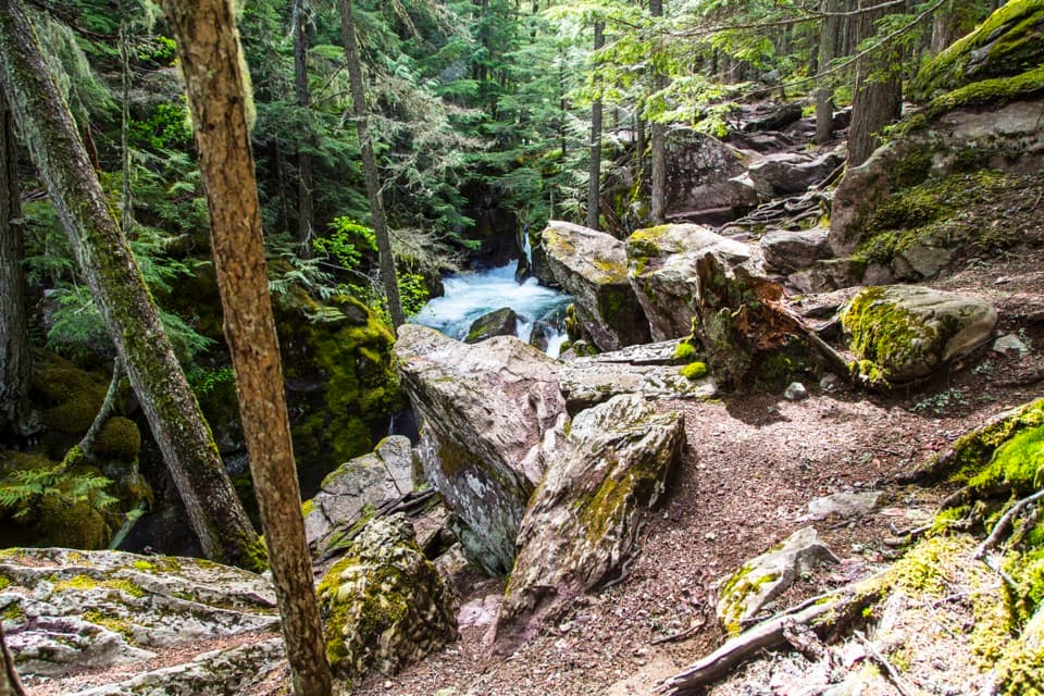
The route follows Camas Creek through forest and meadow openings. At Rogers Meadow, the creek meanders through wet ground below the mountain backdrop; this is the clearest open view on the corridor. After the meadow, the trail continues through forest and additional openings to Old West Lakes Junction and the Trout Lake junction. If you stop for a photo, include the creek edge and the mountains beyond it so the meadow reads as a whole.
A Camas Creek ford is part of the corridor, and there is no quick road exit along the mapped segment. Turn around if the crossing is unsafe. The route starts from Inside North Fork Road; a formal parking lot or signed trailhead setup could not be confirmed. Pets are not allowed on park trails.
Wildlife
 404 sightingsGrizzly BearMost seen around 6 AMSighting map
 11 sightingsWolverineMost seen around 8 PMSighting map
 1,173 sightingsMountain GoatMost seen around 6 AMSighting map
 1,000 sightingsBighorn SheepMost seen around 6 AMSighting map
 395 sightingsMooseMost seen around 6 AMSighting map
 506 sightingsBlack BearMost seen around 8 PMSighting map
Sighting maps show where each species has been reported across Glacier. Wildlife moves, so no sighting is guaranteed.
Keep exploring
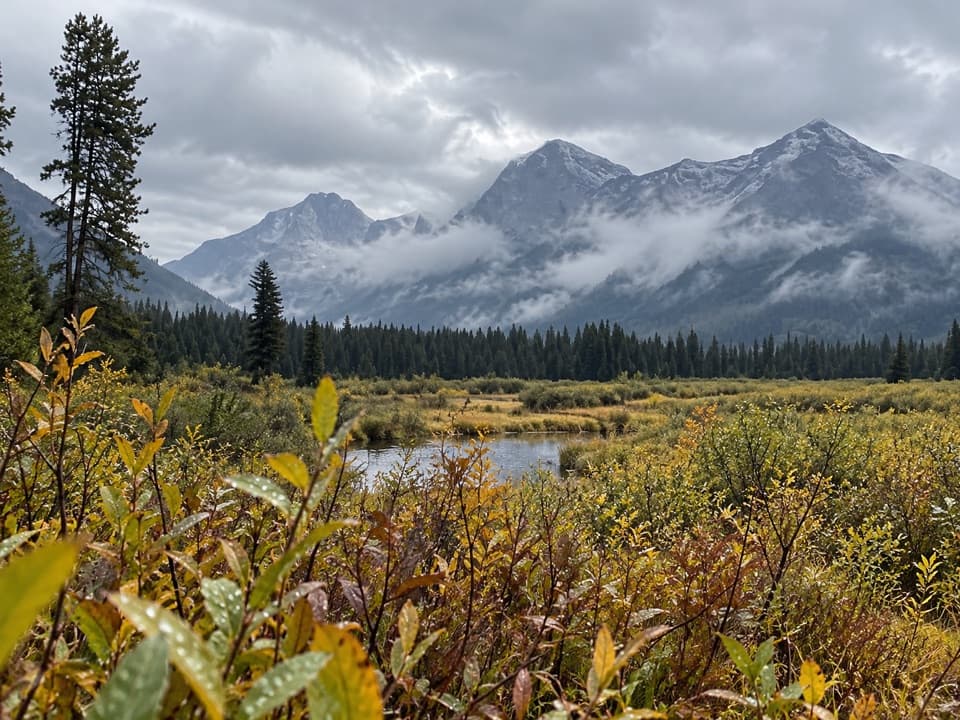 ModerateRogers Meadow Trail6.3 mi · 2.5 hr · At the trailheadCamas Creek bends across a broad meadow beneath rugged peaks.
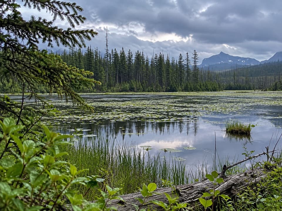 EasyHowe Lake Trail3.9 mi · 2.3 hr · 1.1 mi awayA mellow walk to lily pads and filtered mountain views
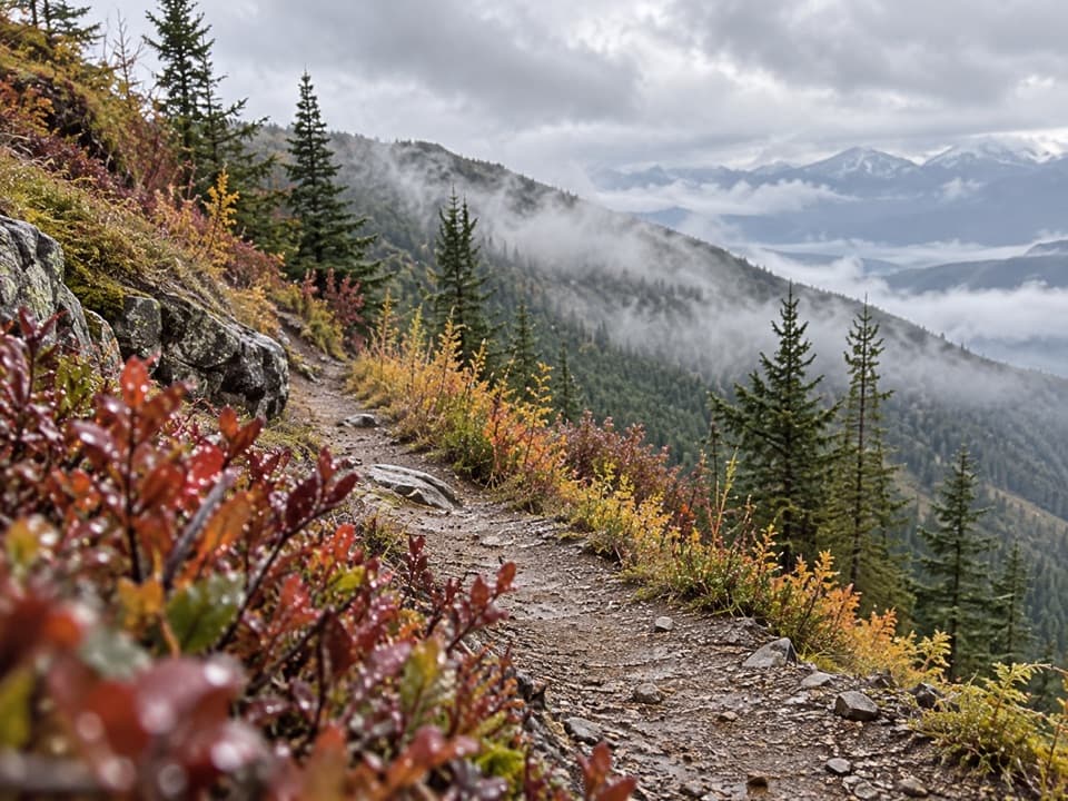 ChallengingHuckleberry Lookout Trail12 mi · 7.5 hr · 2 mi awayA long climb to a historic fire lookout and open ridgeline views.
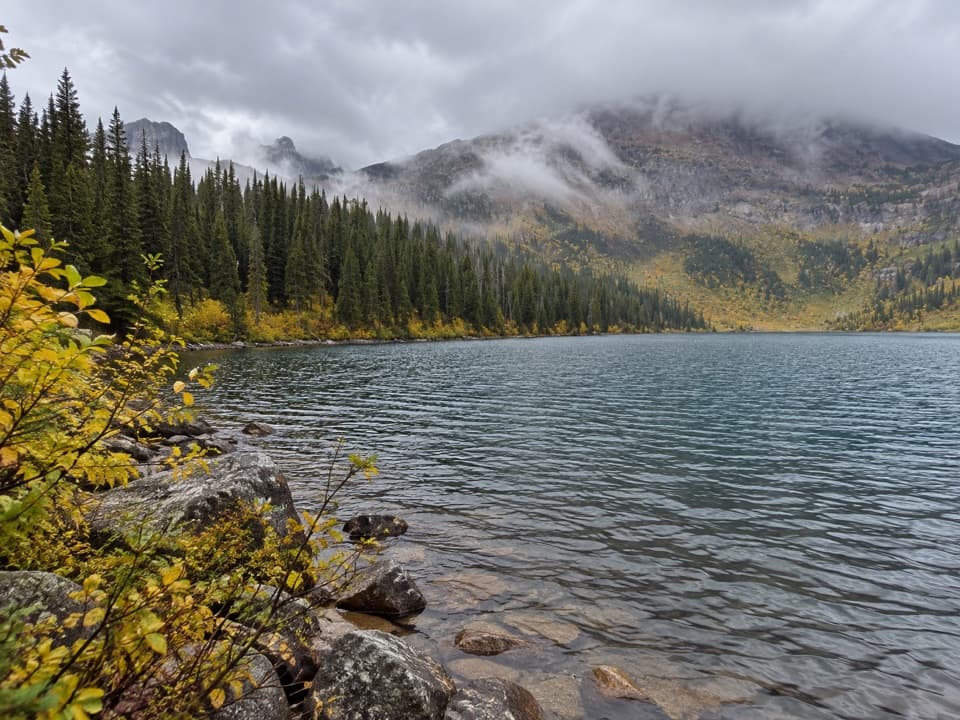 ChallengingDutch Lakes Trail18.8 mi · 11 hr · 2.8 mi awayA long, rough route to a remote alpine basin.
 ChallengingHowe Ridge Trail11.6 mi · 9 hr · 4 mi awayA rough ridge traverse where route-finding matters as much as climbing.
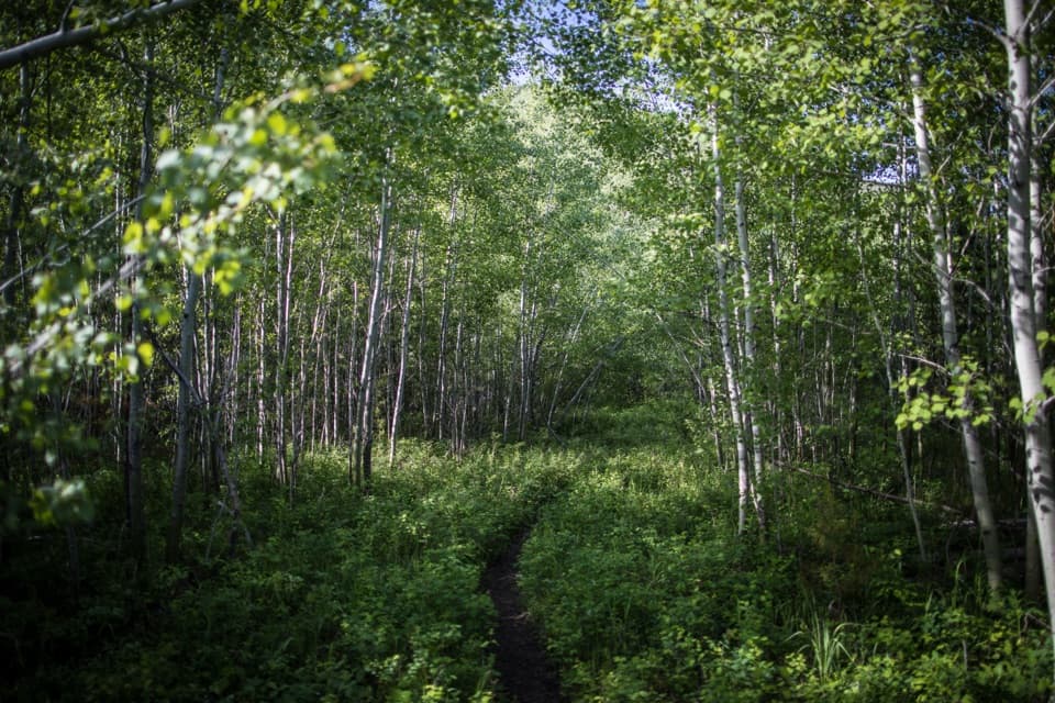 EasyForest and Fire Nature Trail1.1 mi · 45 min · 4.7 mi awayA short loop through the forest growing back after fire.
 EasyRocky Point Nature Trail1.8 mi · 1.3 hr · 5.3 mi awayA lakeside loop to Rocky Point and its mountain views.
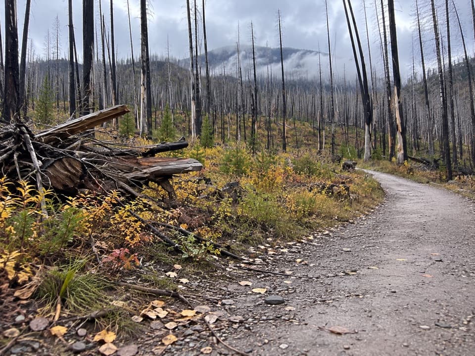 ModerateLake McDonald West Shore Trail7.1 mi · 3.5 hr · 5.5 mi awayA long, mostly level walk along Lake McDonald’s west shore.Sight · 5.5 mi awayRocky PointA short shore walk opens broad views across Lake McDonald.
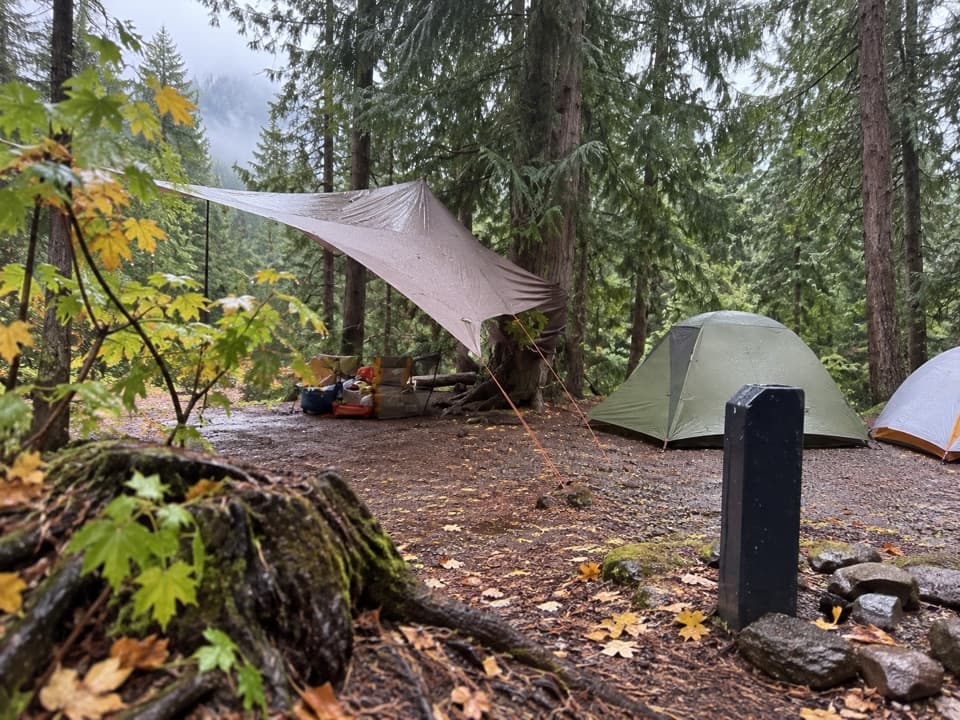 Campground · 5.6 mi awayFish Creek CampgroundA wooded west-side base with seasonal showers and Lake McDonald access.
 Picnic area · 5.8 mi awayFish Creek Picnic AreaA short stop for Lake McDonald’s rocky shore and picnic tables
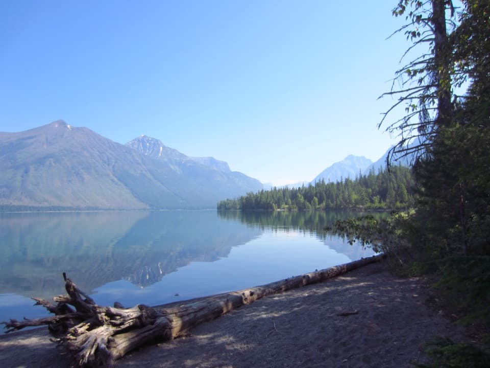 Picnic area · 6.6 mi awaySprague Creek Picnic AreaA Lake McDonald picnic stop off the Going-to-the-Sun Road.Campground · 6.7 mi awaySprague Creek CampgroundLake McDonald camping beneath cottonwoods, with some open shore views.
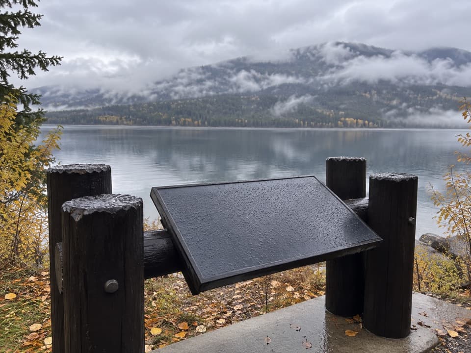 Scenic pullout · 6.7 mi awayNorth Lake McDonald ViewA lakeshore pause where Howe Ridge's fire history comes into view.
 Lodging · 6.8 mi awayVillage Inn at ApgarA 36-room lakeside inn where every room faces Lake McDonald.
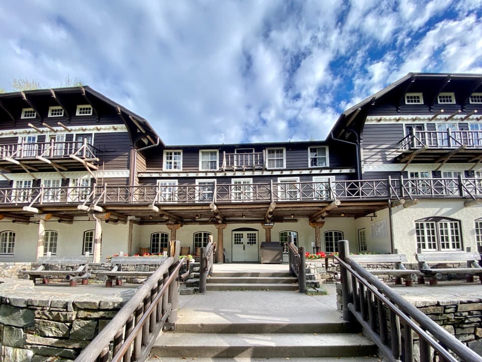 Sight · 6.8 mi awayLake McDonald LodgeA lakeside landmark for boat trips, meals, and its timbered lobby.
Parkwolf’s Glacier ranking

The audio tour guide for the drive, plus offline maps, trails, and wildlife heatmaps for when the signal drops.