Parking
Camas Creek Trailhead is on Inside North Fork Road between Fish Creek and Dutch Creek, just beyond the Camas Creek bridge. The narrow, winding gravel road has blind curves and potholes; take it slowly and allow extra driving time.
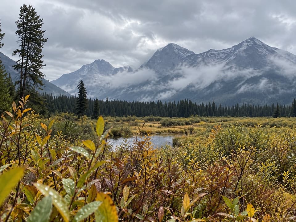
Glacier National Park, MT
Camas Creek bends across a broad meadow beneath rugged peaks.
Overview
Rogers Meadow is a 6.3-mile out-and-back from Camas Creek Trailhead to the open meadow and back. Allow two to three hours. The route gains about 300 feet, so distance and occasionally soft ground matter more than climbing. The payoff is Camas Creek's broad bends beneath a mountain-backed meadow; this is a valley walk, not a summit hike.
 Parkwolf’s verdictIs this the walk for you?
Map & elevation
Plan your hike

The highest, rockiest slopes around here are a summer buffet for grizzly bears.
Glacier Tour Guide
Parkwolf is a GPS audio tour guide for Glacier National Park. As you drive, it chimes in with what’s ahead: hidden gems, upcoming stops, history, geology, and wildlife, right through your car’s speakers.
See the Glacier audio tourRecorded for this trailhead
Camas Creek and Rogers Meadow“You’re nearing Camas Creek Trailhead, where I’d choose the shorter Rogers Meadow outing for broad creek bends beneath the mountains.”
Plays as you drive up to this trailhead in the Parkwolf Glacier Tour Guide.
More stories near here in the app
“Our first time to glacier and we used the audio portion for Going to the Sun Road. Wonderful information with perfect advice of what to see and do along the road.”


Trail guide
The path starts in lodgepole pine, then opens into Christensen Meadow about 1.5 miles from the trailhead. The open ground can be marshy in spring. After a little over a mile through mixed burned and unburned forest, Rogers Meadow opens at roughly mile 3.2. Turn around here for this hike; the longer Camas Creek Trail continues past the meadow toward the West Lakes and Trout Lake routes.
Camas Creek slows into broad, wandering loops through wetland vegetation. Lodgepole forest frames the open valley, with Stanton Mountain, Mount Vaught, Heavens Peak and Rogers Peak behind it. Beaver, river otters, moose, deer and bears use the valley, but sightings are never assured. For a photo, put one of the creek bends in the foreground with the meadow and peaks above it.
Christensen Meadow and Rogers Meadow recall neighbors Ernest Christensen and Josiah “Joe” Rogers, who established North Fork homesteads in 1896. They worked as packers during the Spanish-American War; later, hay, livestock and packing supported their ranches and work in the valley.
Camas Creek Trailhead is on Inside North Fork Road between Fish Creek and Dutch Creek, just beyond the bridge over Camas Creek. The approach is narrow, winding gravel with blind curves and potholes, so drive slowly and allow extra time. Pets are not allowed on Glacier's trails.
Wildlife
 404 sightingsGrizzly BearMost seen around 6 AMSighting map
 11 sightingsWolverineMost seen around 8 PMSighting map
 1,173 sightingsMountain GoatMost seen around 6 AMSighting map
 1,000 sightingsBighorn SheepMost seen around 6 AMSighting map
 395 sightingsMooseMost seen around 6 AMSighting map
 506 sightingsBlack BearMost seen around 8 PMSighting map
Sighting maps show where each species has been reported across Glacier. Wildlife moves, so no sighting is guaranteed.
Keep exploring
 ModerateCamas Creek Trail7.1 mi · 4 hr · At the trailheadCreekside miles lead to Rogers Meadow and the Trout Lake junction.
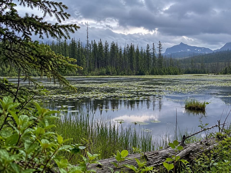 EasyHowe Lake Trail3.9 mi · 2.3 hr · 1.1 mi awayA mellow walk to lily pads and filtered mountain views
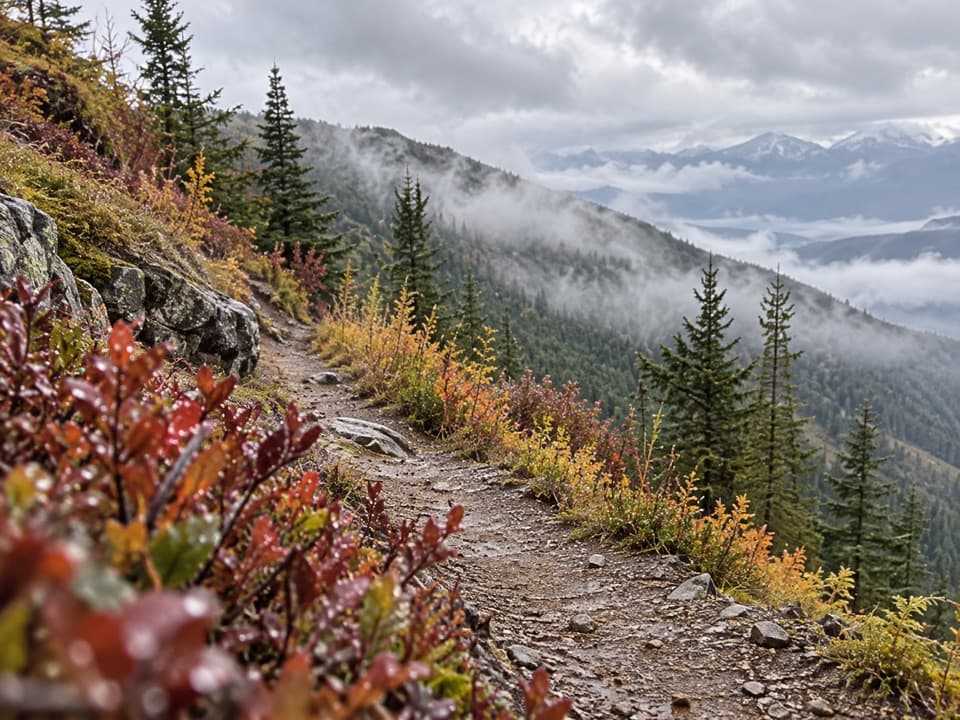 ChallengingHuckleberry Lookout Trail12 mi · 7.5 hr · 2 mi awayA long climb to a historic fire lookout and open ridgeline views.
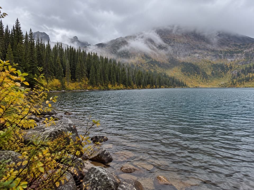 ChallengingDutch Lakes Trail18.8 mi · 11 hr · 2.8 mi awayA long, rough route to a remote alpine basin.
 ChallengingHowe Ridge Trail11.6 mi · 9 hr · 4 mi awayA rough ridge traverse where route-finding matters as much as climbing.
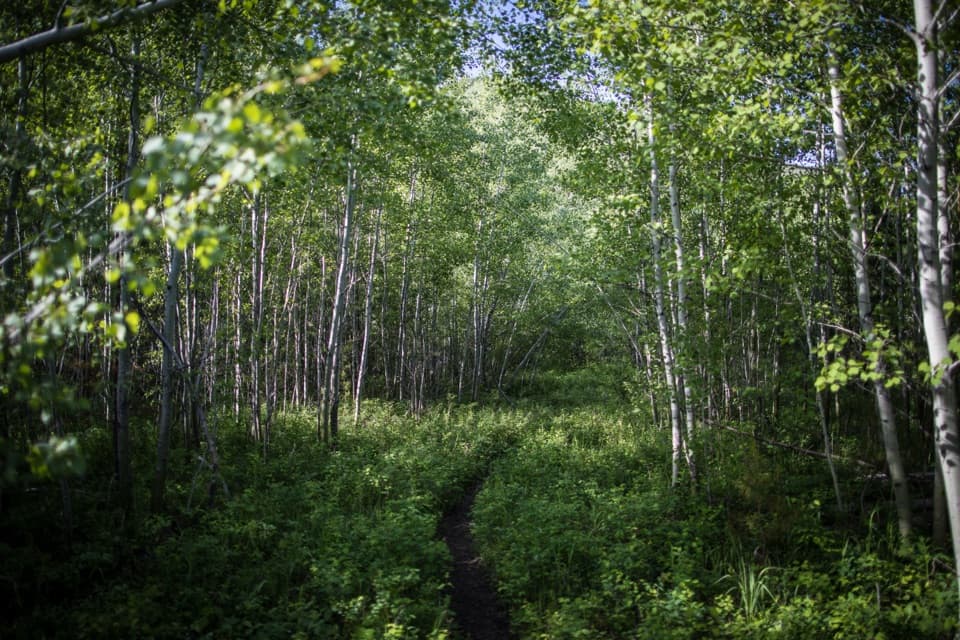 EasyForest and Fire Nature Trail1.1 mi · 45 min · 4.7 mi awayA short loop through the forest growing back after fire.
 EasyRocky Point Nature Trail1.8 mi · 1.3 hr · 5.3 mi awayA lakeside loop to Rocky Point and its mountain views.
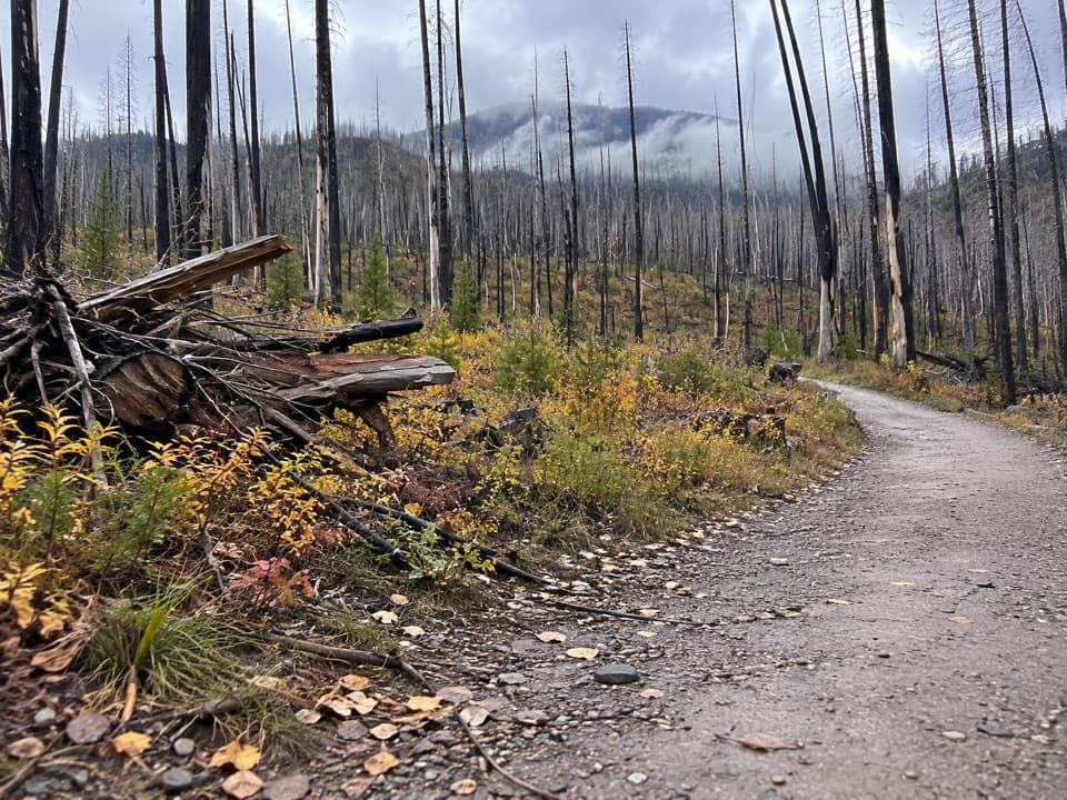 ModerateLake McDonald West Shore Trail7.1 mi · 3.5 hr · 5.5 mi awayA long, mostly level walk along Lake McDonald’s west shore.Sight · 5.5 mi awayRocky PointA short shore walk opens broad views across Lake McDonald.
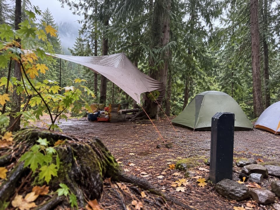 Campground · 5.6 mi awayFish Creek CampgroundA wooded west-side base with seasonal showers and Lake McDonald access.
 Picnic area · 5.8 mi awayFish Creek Picnic AreaA short stop for Lake McDonald’s rocky shore and picnic tables
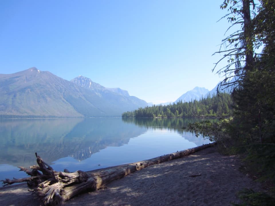 Picnic area · 6.6 mi awaySprague Creek Picnic AreaA Lake McDonald picnic stop off the Going-to-the-Sun Road.Campground · 6.7 mi awaySprague Creek CampgroundLake McDonald camping beneath cottonwoods, with some open shore views.
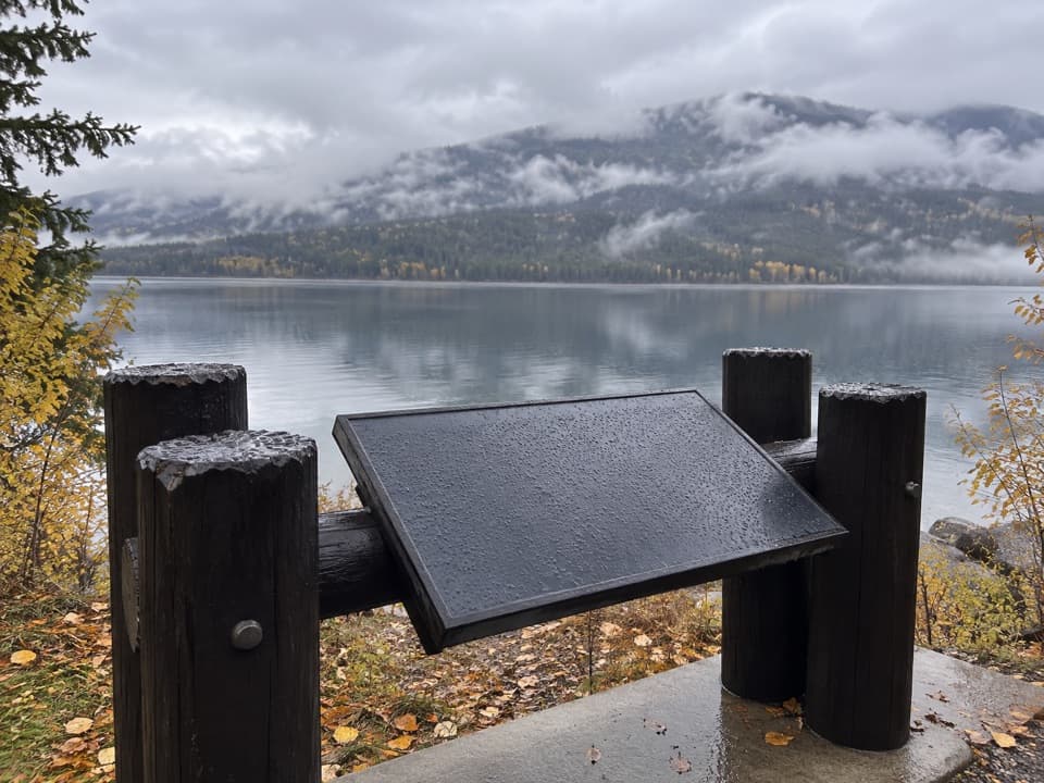 Scenic pullout · 6.7 mi awayNorth Lake McDonald ViewA lakeshore pause where Howe Ridge's fire history comes into view.
 Lodging · 6.8 mi awayVillage Inn at ApgarA 36-room lakeside inn where every room faces Lake McDonald.
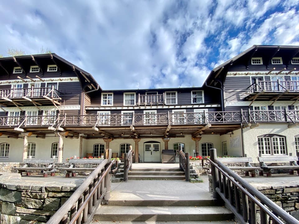 Sight · 6.8 mi awayLake McDonald LodgeA lakeside landmark for boat trips, meals, and its timbered lobby.
Parkwolf’s Glacier ranking
The audio tour guide for the drive, plus offline maps, trails, and wildlife heatmaps for when the signal drops.





