Howe Ridge Trail in Glacier National Park

Glacier National Park, MT

Howe Ridge Trail

A rough ridge traverse where route-finding matters as much as climbing.

Length
11.6mi
Time
9hr
Elev. change
1,850ft
Difficulty
Challenging
  • No dogs
  • High point 5,148 ft

Hear the audio tour

Howe Ridge Trailhead

Overview

About Howe Ridge Trail

Why go

  • A rare ridge traverse with filtered Lake McDonald and mountain views.
  • The burned forest and its recovery give the route a distinct character.

Heads up

  • The long middle is rough, remote and demanding to navigate.
  • Point-to-point logistics add a vehicle plan to an already long day.
Howe Ridge is an 11.6-mile, one-way point-to-point hike from the marked Inside North Fork Road access north of Fish Creek to Trout Lake Trailhead. The route follows Howe Ridge, then takes the West Lakes Trail connector to its northern road end. Allow about nine hours and arrange transport at both ends; this is a remote, full-day outing for hikers who are comfortable navigating beyond a consistently maintained path.
Parkwolf’s verdictIs this the hike for you?

Map & elevation

The route

Loading the Glacier map
Full map
Elevation3,297–5,148 ft
TrailheadHowe Ridge Trailhead on Inside North Fork Road48.56918, -113.99900
Keep this map with you offline in the Parkwolf app

Plan your hike

Before you go

Parking

Use the marked southern Howe Ridge access on Inside North Fork Road north of Fish Creek; the route ends at Trout Lake Trailhead on North McDonald Road. No shuttle is listed for either access road, so arrange transportation between the two ends.

Safety

The infrequently maintained middle requires serious route-finding and may have overgrown tread, fallen trees, washouts and creek fords. Carry reliable navigation and bear spray.

1 active Glacier alert

  • ClosureTwo Medicine Campground closed for 2026 constructionTwo Medicine Campground is closed throughout 2026 because of construction in the Two Medicine developed area.Official details
Glacier alerts
A park ranger sits on a dash-mounted phone, talking, as Parkwolf’s Tour Guide plays “Army Cutworm Moths: A Grizzly Bear Buffet” on Grand Loop Road below Dunraven Pass in Yellowstone
Parkwolf Tour GuideThe highest, rockiest slopes around here are a summer buffet for grizzly bears.

Glacier Tour Guide

Your drive to Howe Ridge Trail, narrated.

Parkwolf is a GPS audio tour guide for Glacier National Park. As you drive, it chimes in with what’s ahead: hidden gems, upcoming stops, history, geology, and wildlife, right through your car’s speakers.

See the Glacier audio tour

Recorded for this trailhead

Howe Ridge Trailhead
0:00 / 0:27
“You're coming up on Howe Ridge Trailhead, where a remote ridge traverse offers glimpses of Lake McDonald through fire-scarred trees.”

Plays as you drive up to this trailhead in the Parkwolf Glacier Tour Guide.

More stories near here in the app

  • A Songbird Underwater
  • Rocky Point Trailhead
  • Ripples Older Than the Mountains
  • Fireweed Flowers Climb the Stem
  • 204 audio storiesacross Glacier’s roads, triggered by GPS as you drive
  • Wildlife heatmapsfor Grizzly Bear, Wolverine, Mountain Goat, and 13 more
  • Works offlinemaps, 157 trails, 91 places, and audio download before you lose signal
  • CarPlay readysimple controls built for the drive
★★★★★
“Our first time to glacier and we used the audio portion for Going to the Sun Road. Wonderful information with perfect advice of what to see and do along the road.”
PaisleyParkFanApp Store review
Download Parkwolf on the App StoreGet Parkwolf on Google Play

4.7 from 8,600+ ratings

Trail guide

Hiking Howe Ridge Trail

The middle needs your attentionThe trail is described as maintained near its ends, but the long middle is infrequently…

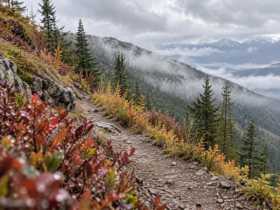
The trail is described as maintained near its ends, but the long middle is infrequently maintained and requires serious route-finding. Expect overgrown tread, fallen trees, washed-out sections and possible creek fords; the path may not be obvious when it matters most. Carry reliable offline navigation and leave room for slow travel. The mapped line climbs roughly 2,900 feet and drops about 3,100 feet across the traverse.

A ridge shaped by fireHowe Ridge rises above Lake McDonald, with lake and mountain views appearing through standing…

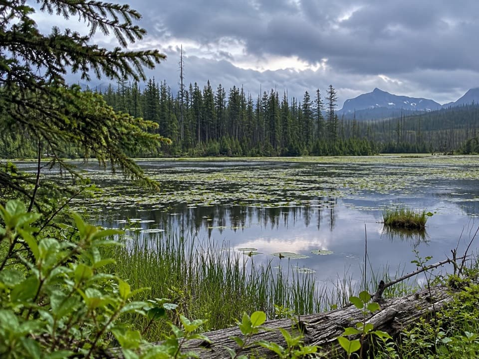
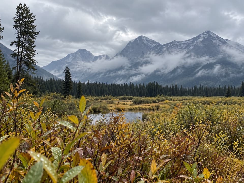
Howe Ridge rises above Lake McDonald, with lake and mountain views appearing through standing fire-scarred trees and newer growth. The 2018 Howe Ridge Fire burned nearly 15,000 acres along the lake's north shore and overlapped the earlier Robert Fire burn. Pocket ponds, grasses and snags make the open burned stretches distinct; the pond framed by fire-killed trunks is the route's strongest photo stop.

Sort out the endpointsStart at the southern access on Inside North Fork Road, north of Fish Creek, and finish at…

Start at the southern access on Inside North Fork Road, north of Fish Creek, and finish at Trout Lake Trailhead on North McDonald Road. No shuttle serves these roads, so arrange a second vehicle or other transport before setting out. Dogs are not allowed on Glacier National Park trails. Check the park's current road and trail status before the hike, since access and natural hazards can change.

Wildlife

Wildlife in Glacier

All Glacier wildlife maps

Sighting maps show where each species has been reported across Glacier. Wildlife moves, so no sighting is guaranteed.

Keep exploring

Near Howe Ridge Trail

See it all on the map

Trails that start nearby

Places near the trailhead

Parkwolf’s Glacier ranking

Top-rated trails in Glacier

All 157 trails
  1. 1Highline TrailChallenging · 11.8 mi
  2. 2Grinnell Glacier TrailChallenging · 10 mi
  3. 3Iceberg Lake TrailModerate · 9.6 mi
  4. 4Hidden Lake Overlook TrailModerate · 2.6 mi
  5. 5Avalanche Lake TrailModerate · 5 mi
  6. 6Trail of the CedarsEasy · 0.9 mi

Take Parkwolf to Glacier.

The audio tour guide for the drive, plus offline maps, trails, and wildlife heatmaps for when the signal drops.

4.7 from 8,600+ ratings

Download Parkwolf on the App StoreGet Parkwolf on Google Play