Parking
Use the small roadside lot at Huckleberry Mountain Trailhead on Camas Road, about 5.8 miles north of Apgar Village; it is on the left when driving north.
Glacier National Park, MT
A long climb to a historic fire lookout and open ridgeline views.
Overview
Map & elevation
Plan your hike

The highest, rockiest slopes around here are a summer buffet for grizzly bears.
Glacier Tour Guide
Parkwolf is a GPS audio tour guide for Glacier National Park. As you drive, it chimes in with what’s ahead: hidden gems, upcoming stops, history, geology, and wildlife, right through your car’s speakers.
See the Glacier audio tourRecorded for this trailhead
Huckleberry Mountain Trailhead“You're nearing Huckleberry Mountain Trailhead, where a long climb leads to a wooden fire lookout built in nineteen thirty-three. Allow seven to eight hours for the twelve-mile round trip, with sustained climbing.”
Plays as you drive up to this trailhead in the Parkwolf Glacier Tour Guide.
More stories near here in the app
“Our first time to glacier and we used the audio portion for Going to the Sun Road. Wonderful information with perfect advice of what to see and do along the road.”


Trail guide
Huckleberry Lookout Trail is a 12-mile out-and-back from Huckleberry Mountain Trailhead on Camas Road to the fire lookout on Huckleberry Mountain. The commonly listed six-mile figure is one way. This is a full-day climb, not a quick viewpoint walk: allow about seven to eight hours, including a break. The official published figure is 2,725 feet of elevation gain; another route account reports 3,403 feet. With no matching measurement method, treat it as a sustained uphill day rather than fixating on one ascent number. I’d choose it if you want a demanding climb with a real lookout at the end; skip it if you’re after a short walk and a fast panorama.
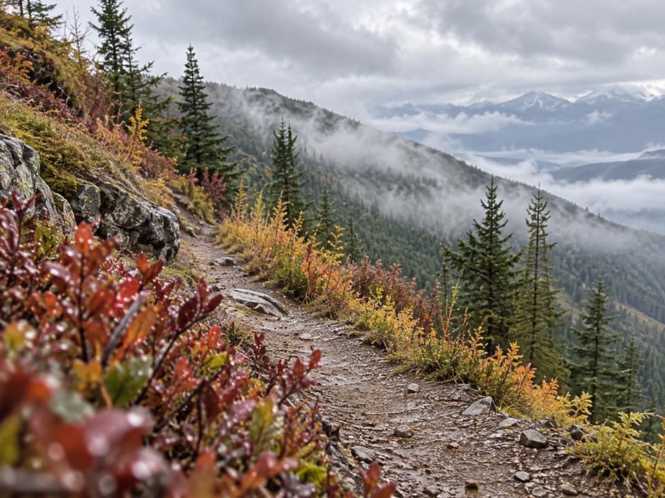
The first quarter-mile is relatively level before the trail crosses McGee Creek. The sustained climbing starts farther in, following the creek’s north bank through lodgepole pine. Kinnikinnick, beargrass and fireweed line the forest floor, and avalanche chutes give you occasional glimpses of the mountains. The canopy begins to thin just beyond mile three, so the view builds gradually rather than arriving all at once.
Around mile four, a small pass gives you a distant look at the lookout to the northwest. The south ridge, around mile 4.5, opens toward the Livingston Range to the east; late in summer, wildflowers can brighten the open slope. The final couple of miles keep climbing along the ridge, with some small rises and dips before a last roughly 400-foot push to the summit. At the top, stairs lead to the lookout’s wraparound porch. You can turn from the Livingston Range to the north-facing North Fork valley, the river country to the southwest and the Apgar Mountains to the south. The south ridge is the place to pause for the eastward view; at the tower, take in the full sweep rather than only the direction you came from.
McGee Creek is near the start, but it isn’t a dependable drinking supply, and there’s no reliable potable water at the lookout. Carry the water you need for the whole day. Snow can linger on the upper trail into early summer, so the high ridge may not be ready when the lower approach is. Huckleberries ripen in late summer and are bear food; this is a place to stay alert and follow the park’s bear guidance. Dogs aren’t allowed on Glacier’s trails.
The wood lookout on Huckleberry Mountain was built in 1933, replacing a 1923 structure. It was built to spot fires, and the route’s destination is the porch and the view, not an indoor exhibit. Give anyone working at the lookout space and privacy. The climb is the point here: the forest, the widening ridge and the old tower make the summit feel earned.
Wildlife
 404 sightingsGrizzly BearMost seen around 6 AMSighting map
 11 sightingsWolverineMost seen around 8 PMSighting map
 1,173 sightingsMountain GoatMost seen around 6 AMSighting map
 1,000 sightingsBighorn SheepMost seen around 6 AMSighting map
 395 sightingsMooseMost seen around 6 AMSighting map
 506 sightingsBlack BearMost seen around 8 PMSighting map
Sighting maps show where each species has been reported across Glacier. Wildlife moves, so no sighting is guaranteed.
Keep exploring
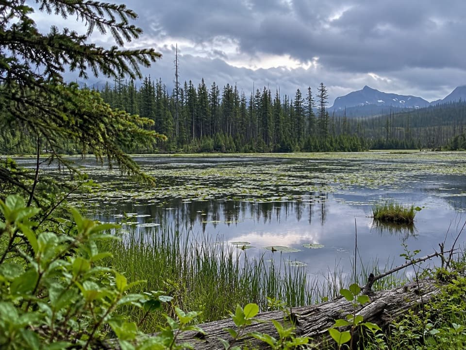 EasyHowe Lake Trail3.9 mi · 2.3 hr · 1 mi awayA mellow walk to lily pads and filtered mountain views
 ModerateCamas Creek Trail7.1 mi · 4 hr · 2 mi awayCreekside miles lead to Rogers Meadow and the Trout Lake junction.
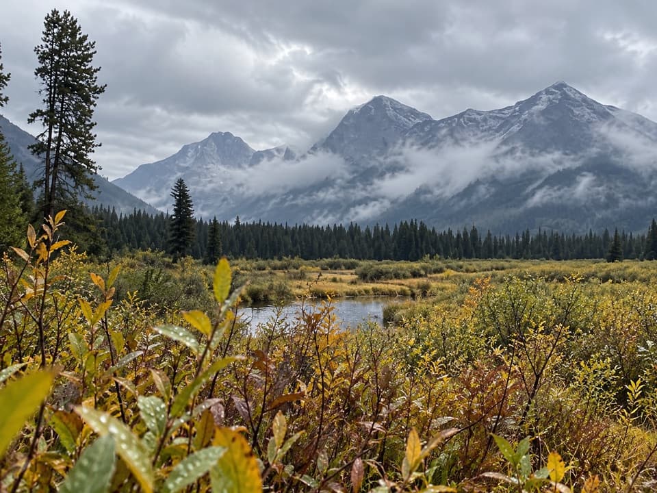 ModerateRogers Meadow Trail6.3 mi · 2.5 hr · 2 mi awayCamas Creek bends across a broad meadow beneath rugged peaks.
 ChallengingHowe Ridge Trail11.6 mi · 9 hr · 2.6 mi awayA rough ridge traverse where route-finding matters as much as climbing.
 EasyRocky Point Nature Trail1.8 mi · 1.3 hr · 3.8 mi awayA lakeside loop to Rocky Point and its mountain views.
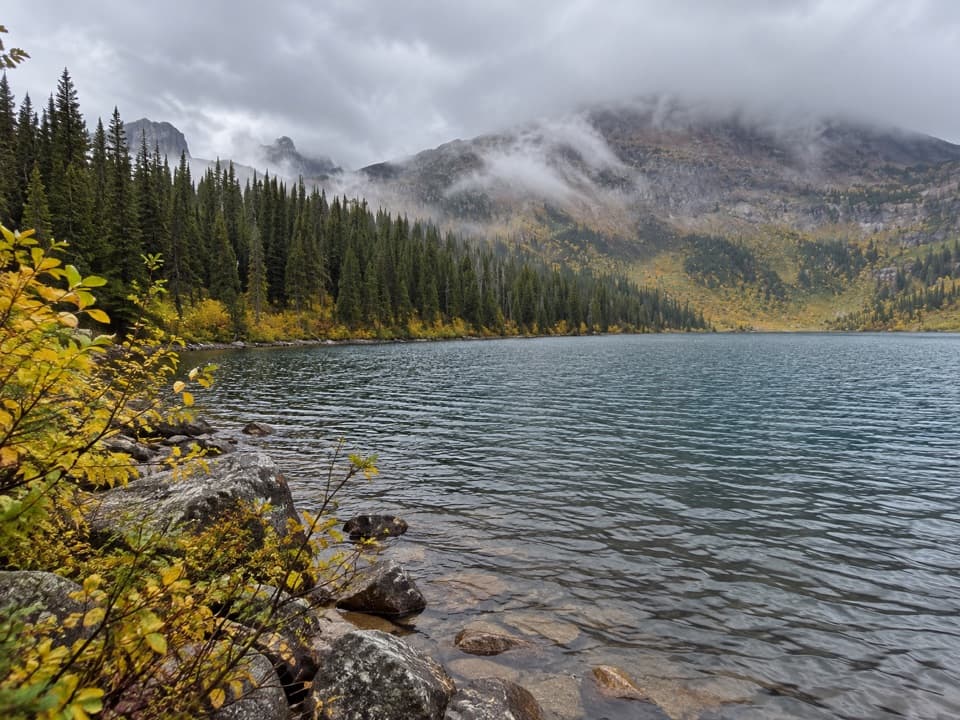 ChallengingDutch Lakes Trail18.8 mi · 11 hr · 4.2 mi awayA long, rough route to a remote alpine basin.
 EasyFish Creek Bike Path1.2 mi · 30 min · 4.4 mi awayA short, mostly level path through the woods to Fish Creek.
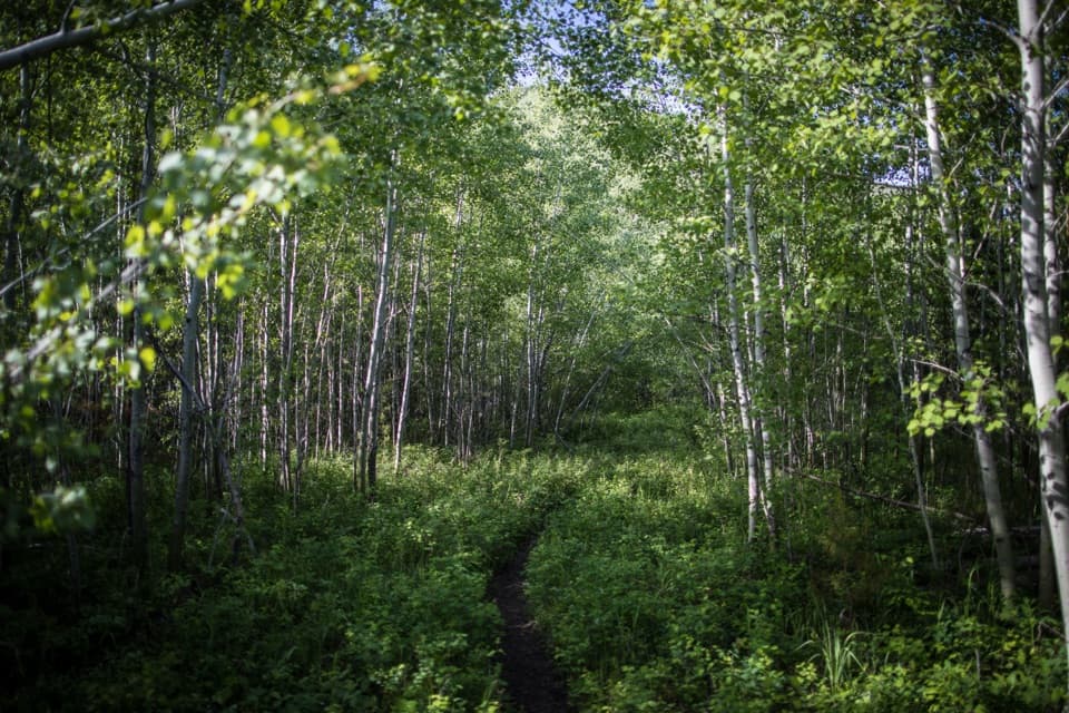 EasyForest and Fire Nature Trail1.1 mi · 45 min · 4.6 mi awayA short loop through the forest growing back after fire.
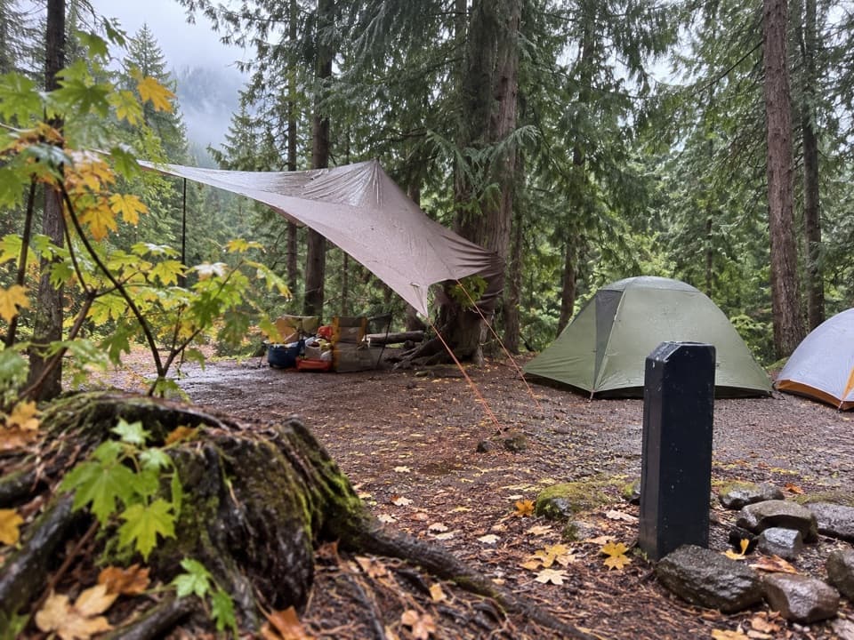 Campground · 4.1 mi awayFish Creek CampgroundA wooded west-side base with seasonal showers and Lake McDonald access.Sight · 4.2 mi awayRocky PointA short shore walk opens broad views across Lake McDonald.
 Picnic area · 4.3 mi awayFish Creek Picnic AreaA short stop for Lake McDonald’s rocky shore and picnic tables
 Lodging · 5.1 mi awayVillage Inn at ApgarA 36-room lakeside inn where every room faces Lake McDonald.
 Lodging · 5.2 mi awayApgar Village Lodge & CabinsSleep beside Lake McDonald in cabins or simple motel rooms.
 Sight · 5.2 mi awayApgar VillageFood, boats and lake access share the west shore.
 Sight · 5.2 mi awayApgar Nature CenterTouch animal pelts and build mountains in a 1929 Apgar cabin.
 Sight · 5.3 mi awayApgar Wilderness Permit CenterA practical planning stop before a backcountry overnight trip.
Parkwolf’s Glacier ranking

The audio tour guide for the drive, plus offline maps, trails, and wildlife heatmaps for when the signal drops.





