Parking
Start at the North Shore Trailhead beside Two Medicine Campground, reached from Two Medicine Road. Use this access for the full out-and-back; the seasonal boat departs from the South Shore for a shorter hike.
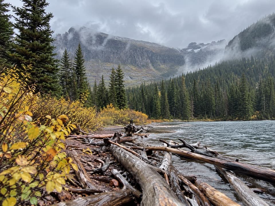
Glacier National Park, MT
A long, mostly gentle walk to a lake beneath steep valley walls.
Overview
Upper Two Medicine Lake Trail is a 10-mile out-and-back from the North Shore Trailhead, a mostly gentle forest walk to a rocky lake shore beneath the steep walls below Lone Walker Mountain. The route gains about 350 feet. Allow five to six hours with breaks. This is a good choice if you want a long, low-climb day hike to a backcountry lake, but most of the payoff comes near the far end.
 Parkwolf’s verdictIs this the hike for you?
Map & elevation
Plan your hike

The highest, rockiest slopes around here are a summer buffet for grizzly bears.
Glacier Tour Guide
Parkwolf is a GPS audio tour guide for Glacier National Park. As you drive, it chimes in with what’s ahead: hidden gems, upcoming stops, history, geology, and wildlife, right through your car’s speakers.
See the Glacier audio tourRecorded for this trailhead
Two Medicine North Shore and Twin Falls“You're nearing Two Medicine's North Shore Trailhead, where Twin Falls makes a gentle but fairly long waterfall walk. Allow about four hours for seven miles round trip to the two cascades below Pumpelly Pillar.”
Plays as you drive up to this trailhead in the Parkwolf Glacier Tour Guide.
More stories near here in the app
“Our first time to glacier and we used the audio portion for Going to the Sun Road. Wonderful information with perfect advice of what to see and do along the road.”


Trail guide
From the north shore of Two Medicine Lake, the trail works west through forest. Farther along, a short connector leads to the westbound route for Upper Two Medicine Lake; the shared trail network also leads toward longer hikes such as Dawson Pass. Keep the lake as your destination at the junctions. The upper route is an out-and-back, and the 10-mile figure does not include any optional detour.
A short spur reaches Twin Falls along the way. Two separate cascades drop about 80 feet, though brush and fallen wood can screen part of the view. Treat the falls as a side trip: return to the main trail to continue toward the lake, and allow extra time for the spur.
Past the falls junction, the wooded trail opens into a meadow with views toward Rising Bull Ridge, Mount Rockwell, and Lone Walker Mountain. It then passes a small pond, climbs briefly, and reaches the lake. Upper Two Medicine sits in a V-shaped valley below a steep headwall. A small rocky beach and driftwood at the lake mouth make a distinctive foreground for a photo of the water and surrounding walls.
Look through the trees for Pumpelly Pillar, a cone-shaped landmark above the route. It was named for Raphael Pumpelly, who led an 1883 railway survey party through the region.
Wildlife
 404 sightingsGrizzly BearMost seen around 6 AMSighting map
 11 sightingsWolverineMost seen around 8 PMSighting map
 1,173 sightingsMountain GoatMost seen around 6 AMSighting map
 1,000 sightingsBighorn SheepMost seen around 6 AMSighting map
 395 sightingsMooseMost seen around 6 AMSighting map
 506 sightingsBlack BearMost seen around 8 PMSighting map
Sighting maps show where each species has been reported across Glacier. Wildlife moves, so no sighting is guaranteed.
Keep exploring
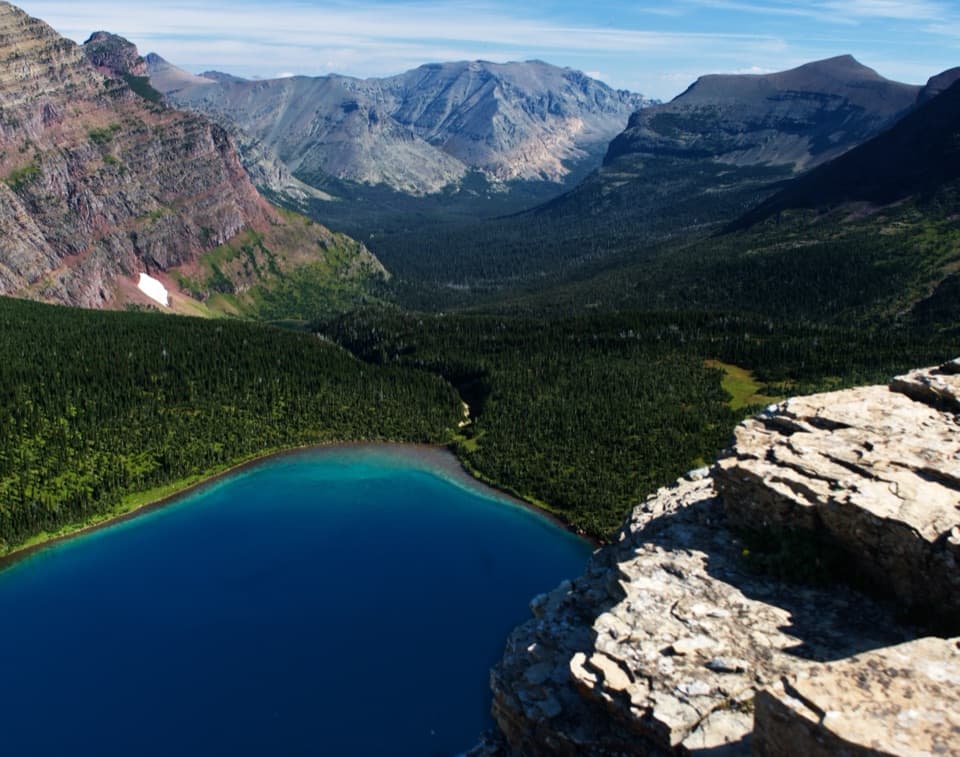 ChallengingDawson–Pitamakan Pass Loop17.4 mi · 10 hr · At the trailheadTwo alpine passes and a narrow ridge make this a full day.
 ChallengingDawson Pass Trail13 mi · 8 hr · At the trailheadA steep climb above No Name Lake ends at the Divide.
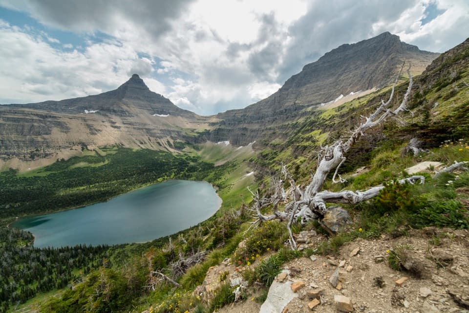 ChallengingPitamakan Pass Trail15.2 mi · 8 hr · At the trailheadOldman Lake, then nearly 1,000 feet of switchbacks to the pass.
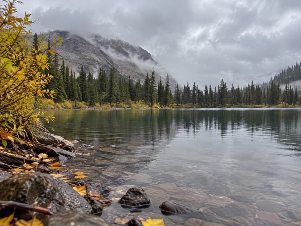 ModerateNo Name Lake Trail9.8 mi · 5.5 hr · At the trailheadA long return hike to a small lake below Pumpelly Pillar.
 ChallengingOldman Lake Trail12.8 mi · 7 hr · At the trailheadA long valley walk ends at a lake beneath Mount Morgan.
 EasyTwin Falls Trail7 mi · 4 hr · 0.1 mi awayTwo cascades, with a boat shortcut for a quicker approach.
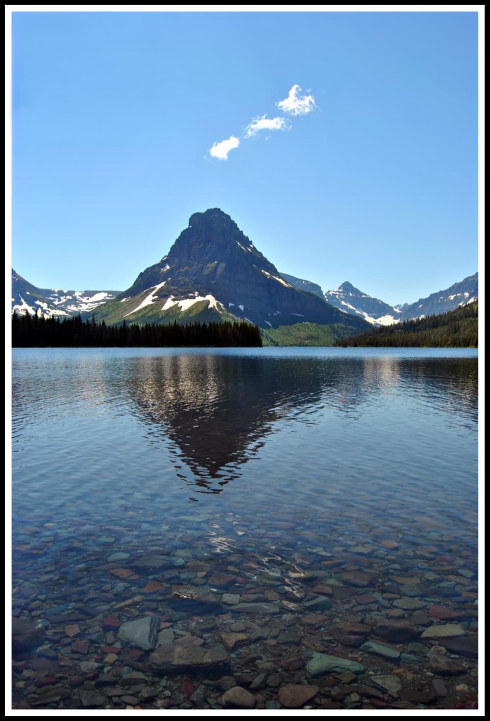 ModerateTwo Medicine Lake Loop8 mi · 4.5 hr · 0.1 mi awayOpen water and avalanche chutes frame this Two Medicine shoreline loop.
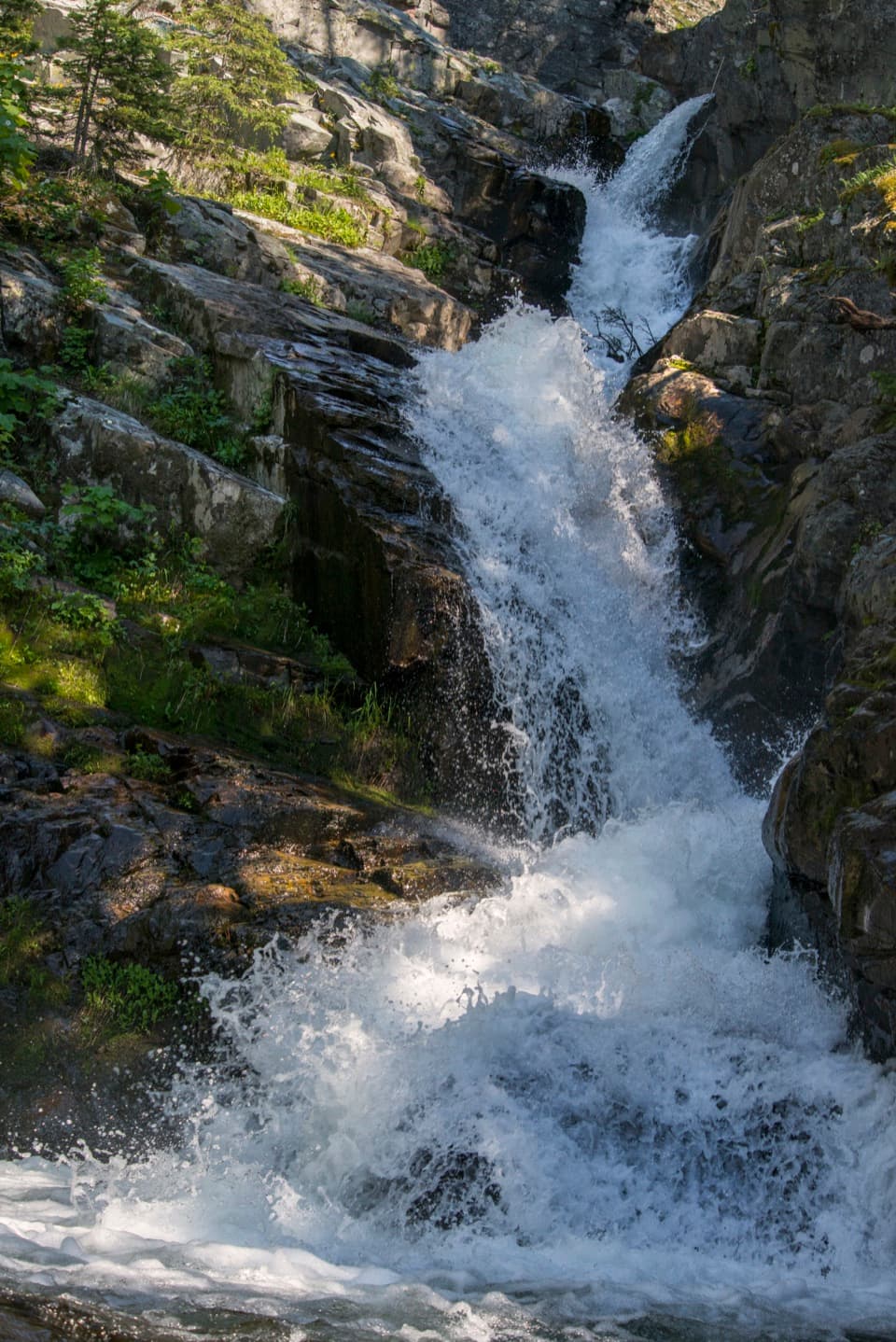 EasyAppistoki Falls Trail1.2 mi · 1 hr · 0.5 mi awayA quick falls walk, with most of the gorge view screened.
 Campground · 0.4 mi awayTwo Medicine CampgroundA shady lakeside base with hikes starting from camp.
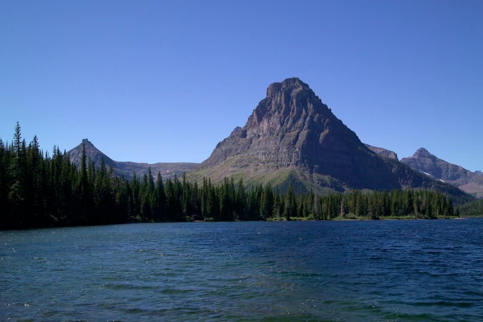 Sight · 0.5 mi awayTwo Medicine LakeA boat ride adds a fresh angle on Sinopah Mountain.
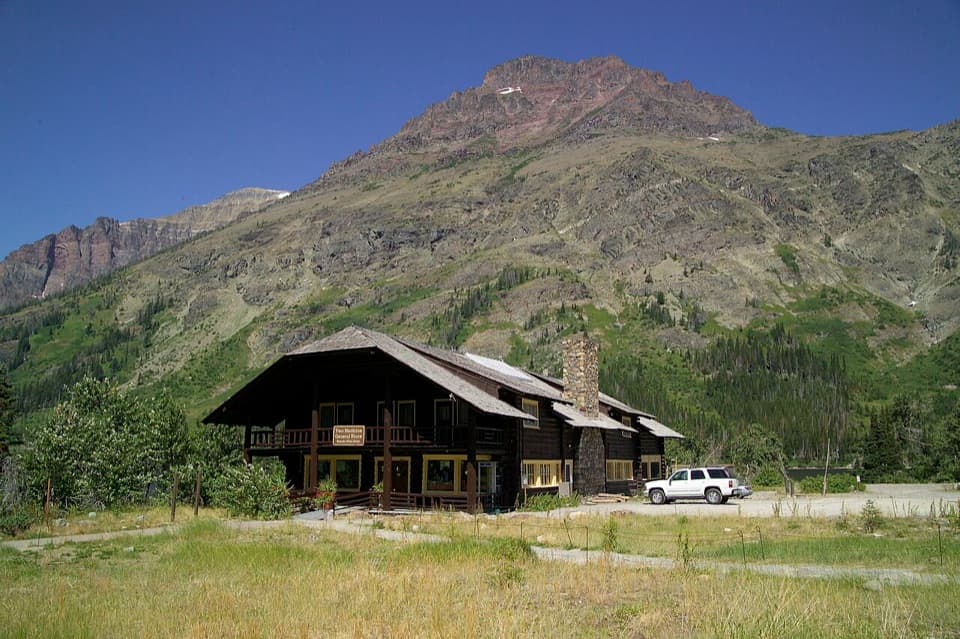 Store · 0.5 mi awayTwo Medicine CampstorePick up supplies in a historic chalet hall beside the lake.
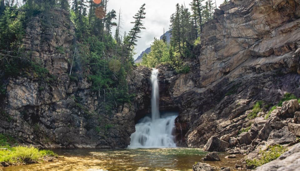 Sight · 0.8 mi awayRunning Eagle FallsSeasonal flow changes which tier of the falls shows.
 Beach · 0.8 mi awayParadise PointA short walk to a small beach with striking Two Medicine views.Sight · 0.9 mi awayAppistoki FallsA short waterfall walk with a partly screened view.
 Sight · 1.5 mi awayAster FallsA forest walk to a 20-foot cascade in three drops.
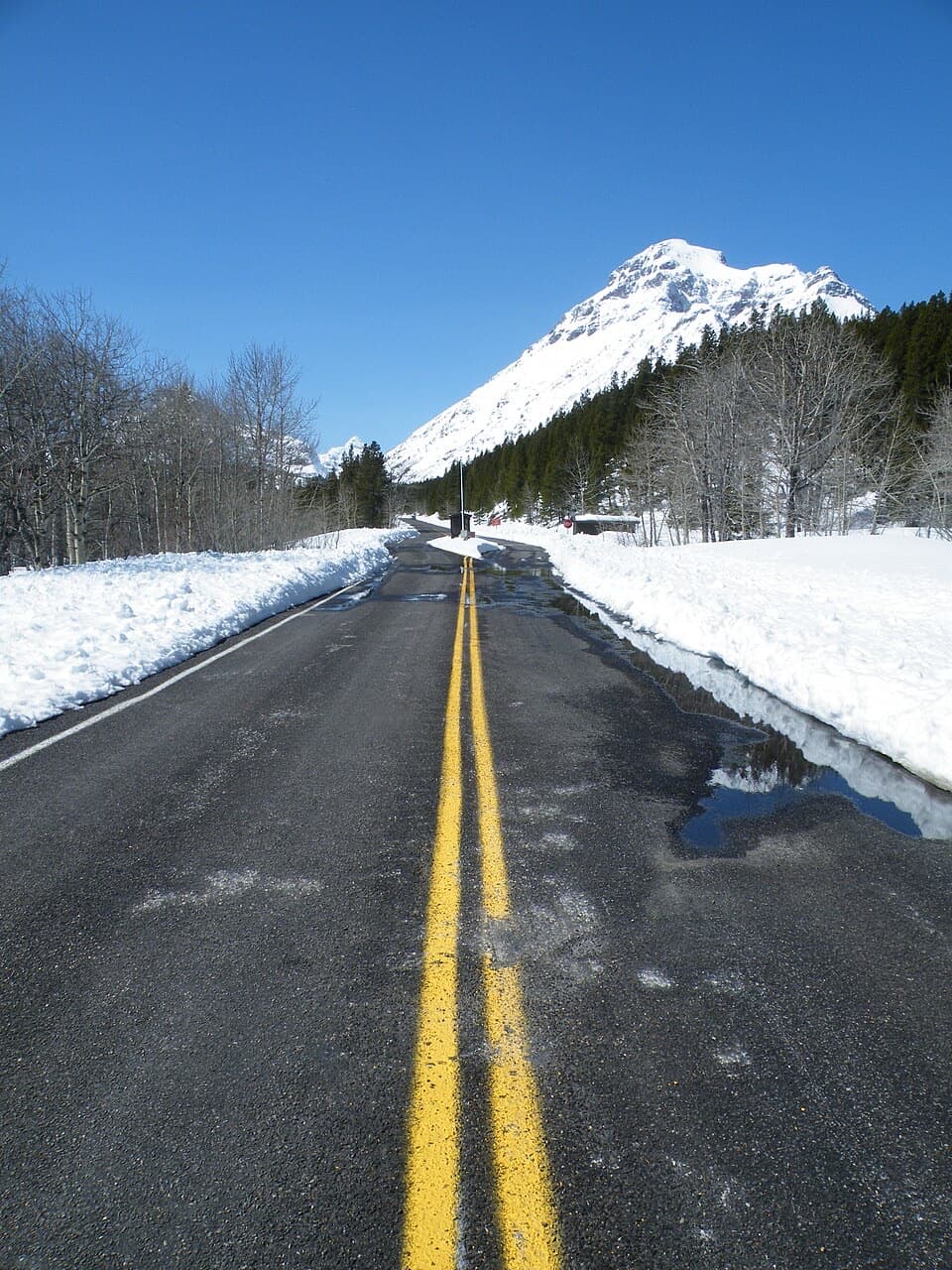 Entrance station · 1.9 mi awayTwo Medicine Entrance StationA separate entrance for Two Medicine's lake and trail area.
Parkwolf’s Glacier ranking
The audio tour guide for the drive, plus offline maps, trails, and wildlife heatmaps for when the signal drops.





