Parking
Use the Scenic Point parking area, 0.25 mile east of Two Medicine Ranger Station. This is the trailhead for Appistoki Falls and the much longer Scenic Point hike.
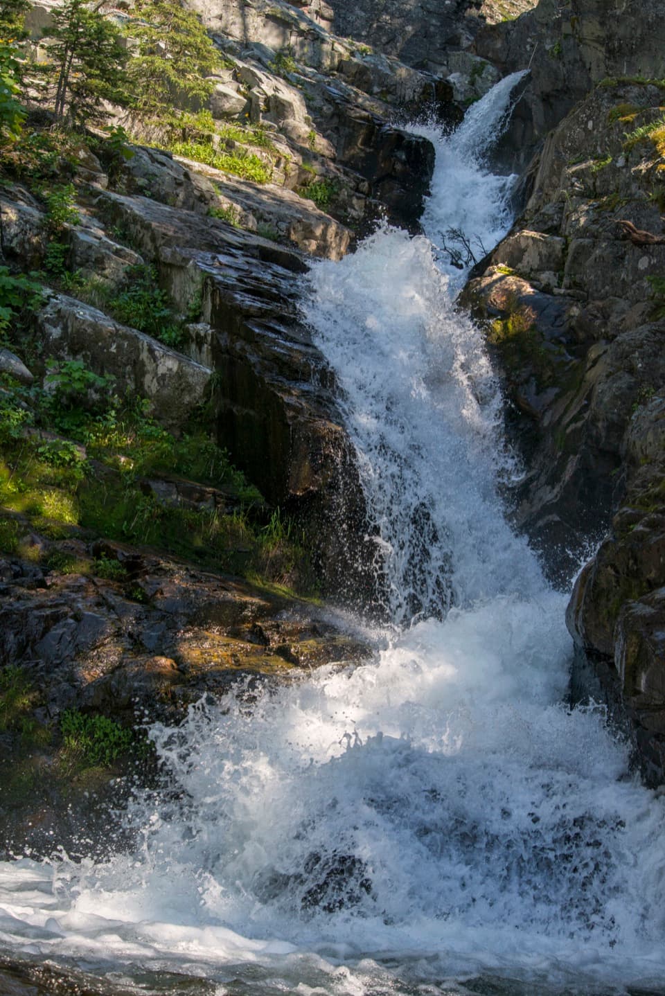
Glacier National Park, MT
A quick falls walk, with most of the gorge view screened.
Overview
Map & elevation
Plan your hike

The highest, rockiest slopes around here are a summer buffet for grizzly bears.
Glacier Tour Guide
Parkwolf is a GPS audio tour guide for Glacier National Park. As you drive, it chimes in with what’s ahead: hidden gems, upcoming stops, history, geology, and wildlife, right through your car’s speakers.
See the Glacier audio tourRecorded for this trailhead
Scenic Point and Appistoki Falls“You're approaching Scenic Point parking, the starting point for Appistoki Falls and the much longer Scenic Point hike.”
Plays as you drive up to this trailhead in the Parkwolf Glacier Tour Guide.
More stories near here in the app
“Our first time to glacier and we used the audio portion for Going to the Sun Road. Wonderful information with perfect advice of what to see and do along the road.”


Trail guide
Appistoki Falls Trail is an easy out-and-back of about 1.2 miles round trip from Scenic Point parking to a signed viewpoint above Appistoki Creek. The park lists 0.6 mile one way and 260 feet of gain; allow about an hour. The route follows the Mt. Henry Trail for most of the approach, then takes a short spur to the falls. Choose it for a quick waterfall walk, with the understanding that the narrow gorge screens part of the cascade.
From the Scenic Point parking area, follow the Mt. Henry Trail to the signed falls junction and turn right onto the narrower spur. The main approach rises gently through trees and berry bushes; the last stretch climbs more noticeably to the viewpoint. The spur is short, under 100 yards. Continue past the junction and you are heading toward Scenic Point, a much longer hike with a different commitment.
Appistoki Creek drops over layered rock into a steep, narrow gorge. From the signed viewpoint you can see the waterfall, but the rock walls and vegetation partly screen it, and this short route does not descend to the pool. Frame the cascade with the gorge walls from the established viewpoint; do not scramble down for a closer photo.
The Mt. Henry Trail was built in 1913 under contract to the Great Northern Railway to connect its Glacier Park Lodge and Two Medicine Chalets properties. The historic corridor is also part of the Continental Divide Trail.
Wildlife
 404 sightingsGrizzly BearMost seen around 6 AMSighting map
 11 sightingsWolverineMost seen around 8 PMSighting map
 1,173 sightingsMountain GoatMost seen around 6 AMSighting map
 1,000 sightingsBighorn SheepMost seen around 6 AMSighting map
 395 sightingsMooseMost seen around 6 AMSighting map
 506 sightingsBlack BearMost seen around 8 PMSighting map
Sighting maps show where each species has been reported across Glacier. Wildlife moves, so no sighting is guaranteed.
Keep exploring
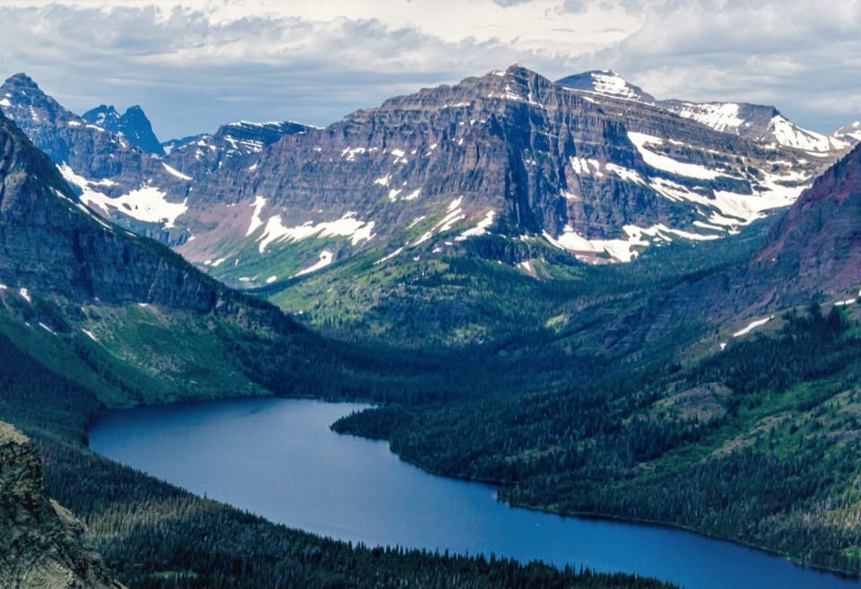 ChallengingScenic Point Trail7.6 mi · 5.5 hr · At the trailheadClimb through weathered pines to a ledge above lakes and plains.
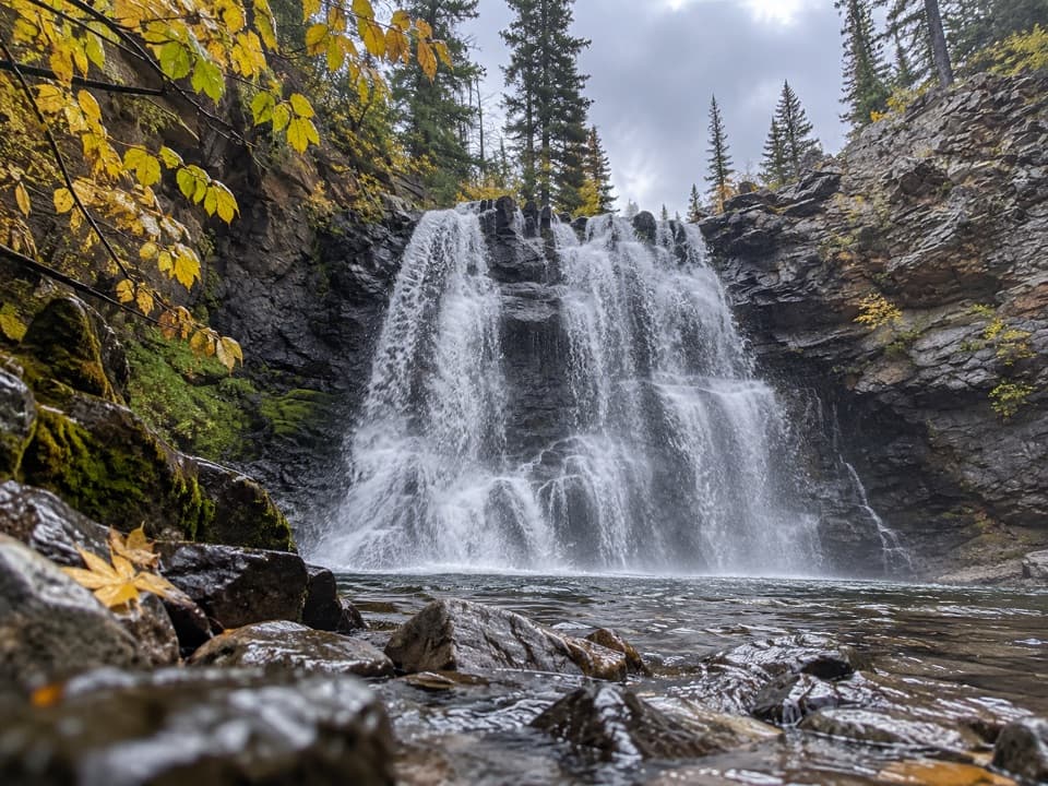 ModerateRockwell Falls Trail7 mi · 4 hr · 0.4 mi awayBeaver ponds and lake views set up two wooded cascades.
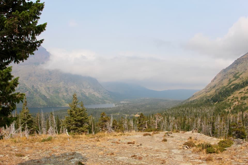 ModerateAster Park Trail4 mi · 3 hr · 0.4 mi awayA steep climb ends above Two Medicine Lake.
 EasyAster Falls Trail2.8 mi · 2 hr · 0.4 mi awayA forested walk to a tiered cascade beside Aster Creek.
 ChallengingCobalt Lake Trail11.6 mi · 7 hr · 0.4 mi awayWaterfalls and beaver ponds lead to a high alpine lake.
 ChallengingTwo Medicine Pass Trail16 mi · 10 hr · 0.4 mi awayA long climb from waterfalls and lake into a windy alpine pass.
 EasyParadise Point Trail1.2 mi · 45 min · 0.4 mi awayA short forest walk to a small beach on Two Medicine Lake.
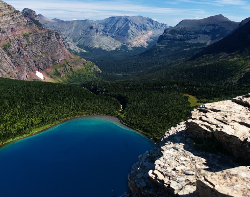 ChallengingDawson–Pitamakan Pass Loop17.4 mi · 10 hr · 0.5 mi awayTwo alpine passes and a narrow ridge make this a full day.
 Campground · 0.3 mi awayTwo Medicine CampgroundA shady lakeside base with hikes starting from camp.
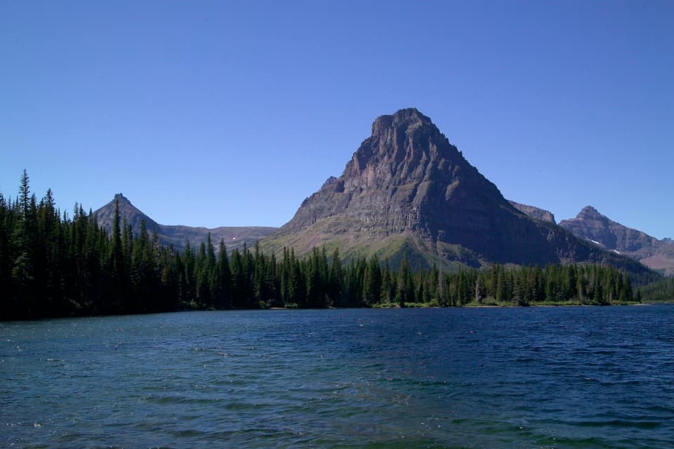 Sight · 0.4 mi awayTwo Medicine LakeA boat ride adds a fresh angle on Sinopah Mountain.
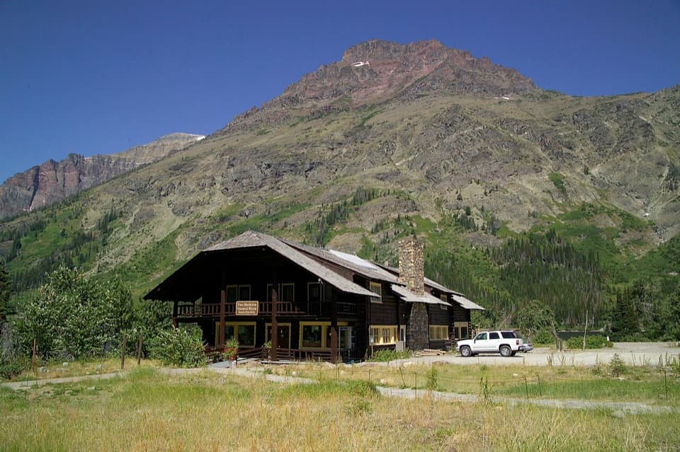 Store · 0.4 mi awayTwo Medicine CampstorePick up supplies in a historic chalet hall beside the lake.Sight · 0.5 mi awayAppistoki FallsA short waterfall walk with a partly screened view.Beach · 0.7 mi awayParadise PointA short walk to a small beach with striking Two Medicine views.
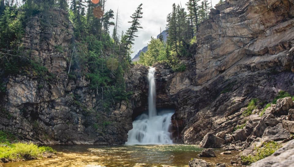 Sight · 1 mi awayRunning Eagle FallsSeasonal flow changes which tier of the falls shows.
 Sight · 1.2 mi awayAster FallsA forest walk to a 20-foot cascade in three drops.
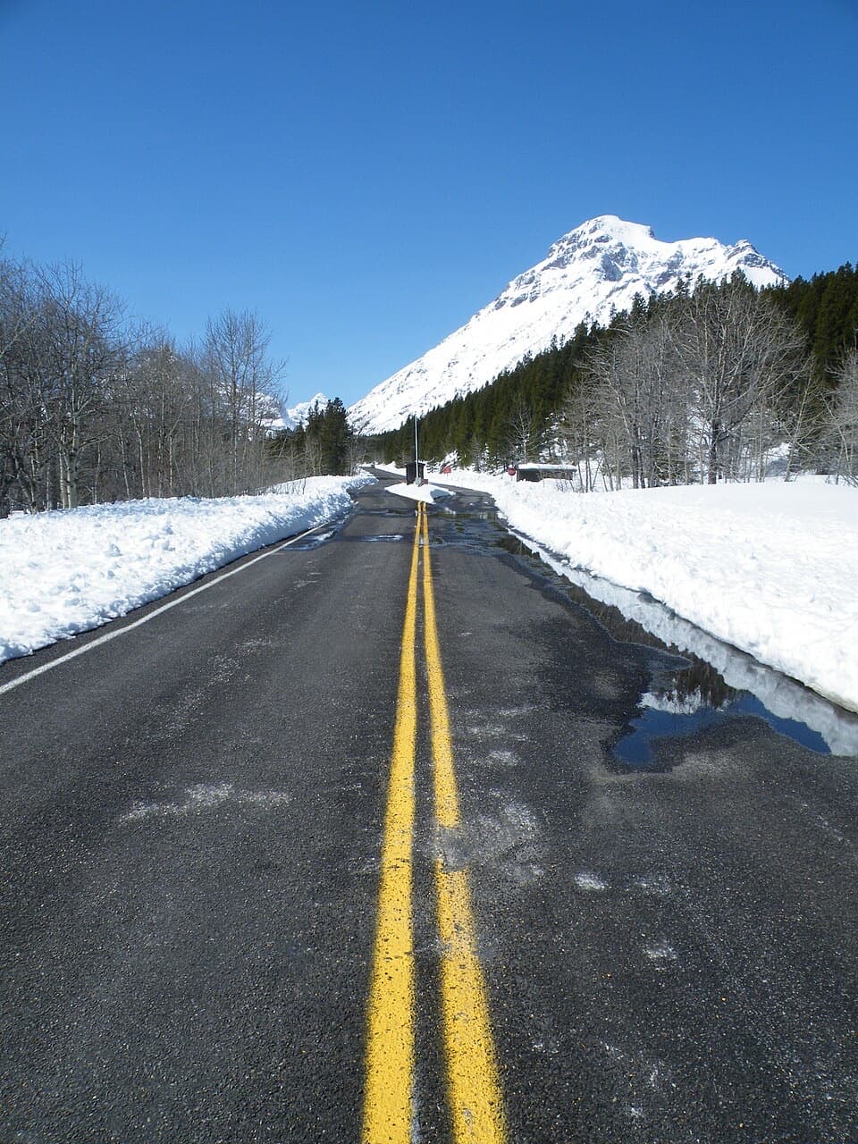 Entrance station · 2 mi awayTwo Medicine Entrance StationA separate entrance for Two Medicine's lake and trail area.
Parkwolf’s Glacier ranking

The audio tour guide for the drive, plus offline maps, trails, and wildlife heatmaps for when the signal drops.





