Helen Lake Trail in Glacier National Park

Glacier National Park, MT

Helen Lake Trail

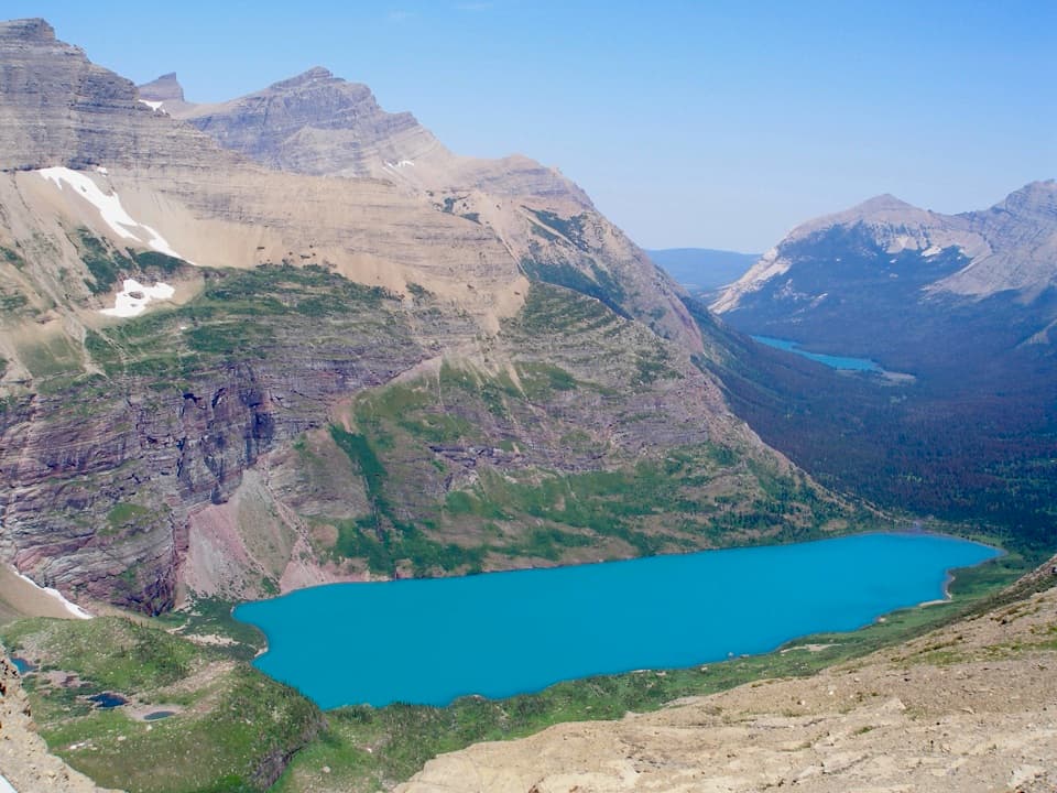
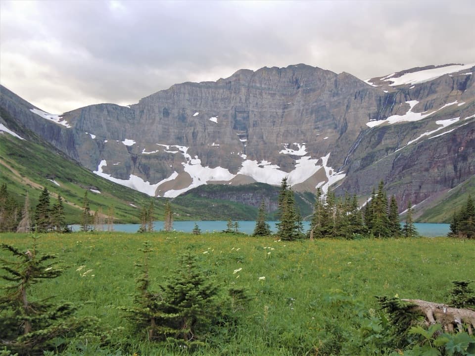
A remote lake below Ahern's headwall, well inside the backcountry.

Photo: Wikimedia Commons
Length
4.3mi
Time
3hr
Elev. change
243ft
Difficulty
Moderate
  • No dogs
  • High point 5,135 ft
  • #62 of 157 in Glacier
Parkwolf audio tour204 stories across Glacier’s roads

Overview

About Helen Lake Trail

Why go

  • The shore walk opens into a dramatic basin beneath Ahern Peak and glacier-fed waterfalls.
  • Helen Lake feels remote and enclosed by high mountain walls.

Heads up

  • The mapped start is already deep in the backcountry, far from road access.
  • A large glacier-fed creek crossing can be cold and fast, especially early in the season.

Map & elevation

The route

Loading the Glacier map
Full map
Elevation4,892–5,135 ft
TrailheadFoot Elizabeth Lake Campground48.89158, -113.72542
Keep this map with you offline in the Parkwolf app

Plan your hike

Before you go

Parking

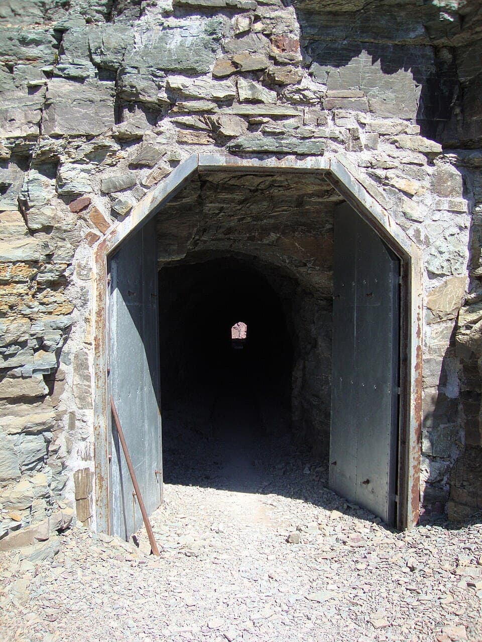
There is no road parking at the mapped start, Foot Elizabeth Lake Campground. The road-accessed Chief Mountain Customs trailhead is about 13.6 miles one way from Helen Lake via the longer Belly River approach. A second approach comes from Many Glacier over Ptarmigan Trail and Ptarmigan Tunnel; access is seasonal.

Best time to go

The large creek crossing is the main hazard on this segment. Glacier’s seasonal guidance warns that crossings can be deep, swift, and cold; temporary bridges are installed and removed during the season, so do not count on a bridge being there year-round. Snow can linger on high-country trails, and conditions vary. Check the park’s current trail status before setting out.

Safety

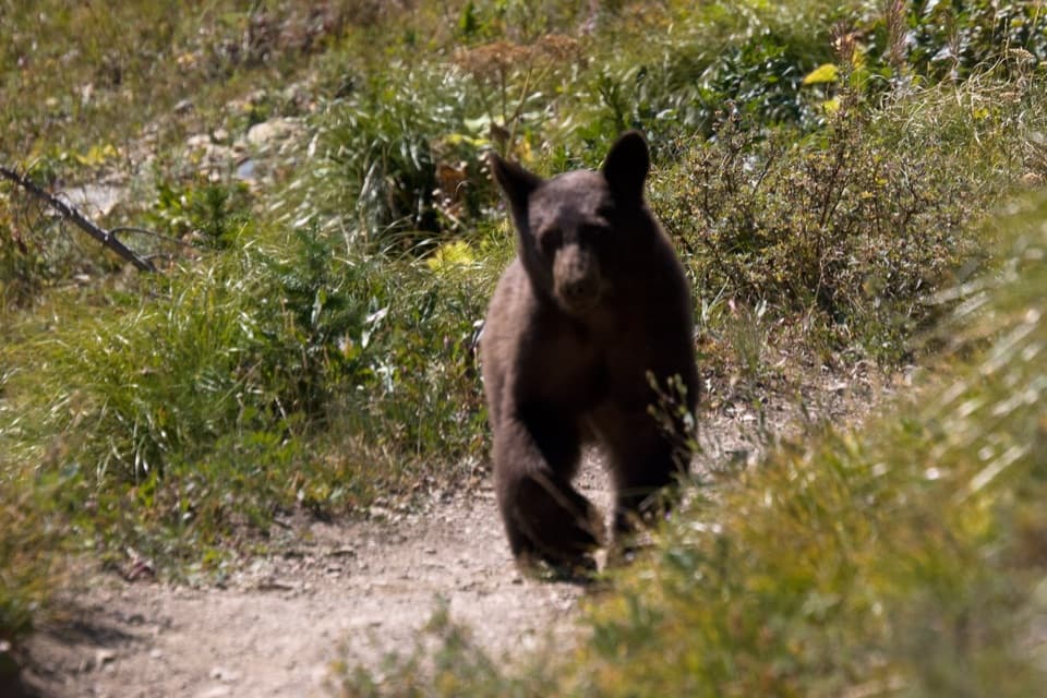
The route crosses a large glacier-fed creek. Water can be deep, swift, and cold, and seasonal bridges are not a year-round guarantee. Check current trail and crossing status; snow can linger in the high country. This is grizzly habitat.

1 active Glacier alert

  • ClosureTwo Medicine Campground closed for 2026 constructionTwo Medicine Campground is closed throughout 2026 because of construction in the Two Medicine developed area.Official details
Glacier alerts
A park ranger sits on a dash-mounted phone, talking, as Parkwolf’s Tour Guide plays “Army Cutworm Moths: A Grizzly Bear Buffet” on Grand Loop Road below Dunraven Pass in Yellowstone
Parkwolf Tour GuideThe highest, rockiest slopes around here are a summer buffet for grizzly bears.

Glacier Tour Guide

Your drive to Helen Lake Trail, narrated.

Parkwolf is a GPS audio tour guide for Glacier National Park. As you drive, it chimes in with what’s ahead: hidden gems, upcoming stops, history, geology, and wildlife, right through your car’s speakers.

See the Glacier audio tour
  • 204 audio storiesacross Glacier’s roads, triggered by GPS as you drive
  • Wildlife heatmapsfor Grizzly Bear, Wolverine, Mountain Goat, and 13 more
  • Works offlinemaps, 157 trails, 91 places, and audio download before you lose signal
  • CarPlay readysimple controls built for the drive
★★★★★
“Our first time to glacier and we used the audio portion for Going to the Sun Road. Wonderful information with perfect advice of what to see and do along the road.”
PaisleyParkFanApp Store review
Download Parkwolf on the App StoreGet Parkwolf on Google Play

4.7 from 8,600+ ratings

Trail guide

Hiking Helen Lake Trail

What this trail isHelen Lake Trail is a 4.

Helen Lake Trail is a 4.3-mile point-to-point backcountry route from Foot Elizabeth Lake Campground to Helen Lake. It follows Elizabeth Lake’s west shore, passes the Head campground, then climbs gently through open meadows into a tucked-away alpine basin. The 4.3 miles are one way; turning around at Helen Lake makes an 8.6-mile return to the same campground. The catch is access: Foot Elizabeth is already deep in the wilderness, not a roadside trailhead.

Along Elizabeth LakeThe route begins beside the lake and stays close to its west shore.

The route begins beside the lake and stays close to its west shore. Red rock and the high walls around Red Gap Pass rise across the water, while short stands of trees and open stretches keep the shoreline views in reach. You pass Elizabeth Lake’s Head campground before leaving the lake behind. This first stretch is a good part of the hike in its own right, not just a walk-in to the destination.

The climb to Helen LakePast the campground the trail gains a little height, then crosses open meadow with scattered…

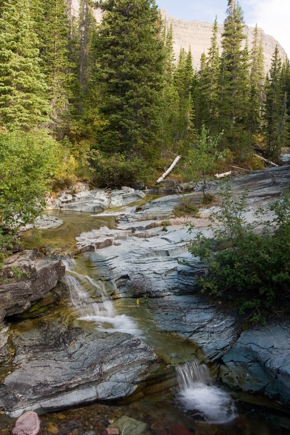
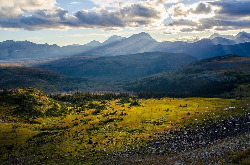
Past the campground the trail gains a little height, then crosses open meadow with scattered subalpine fir. A large creek coming down from the Ipasha and Old Sun Glacier area cuts across the route. Beyond it, Mount Merritt and Old Sun Glacier fill the west side of the view, with Ptarmigan Wall to the east. The grade is modest, but the creek crossing can make the walk harder than its elevation numbers suggest.

The lake and its headwallHelen Lake sits below the Ahern headwall, with waterfalls coming off the snowfields and…

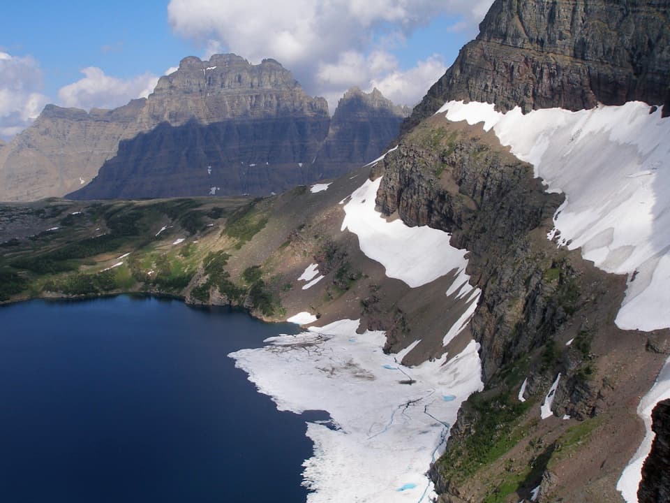
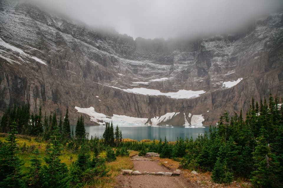
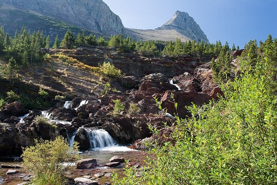
Helen Lake sits below the Ahern headwall, with waterfalls coming off the snowfields and glaciers above it. The basin is boxed in by high rock on three sides, so the lake feels much more enclosed than Elizabeth Lake. For a photo, keep some of the lake in the foreground and the Ahern wall behind it; that shows the shape of the basin instead of isolating the cliffs. A useful fishing detail: upper Elizabeth Lake has fish, but Helen Lake does not.

Plan the approachThe mapped start is Foot Elizabeth Lake Campground, which has no road access.

The mapped start is Foot Elizabeth Lake Campground, which has no road access. From Chief Mountain Customs, the full walk to Helen Lake is about 13.6 miles one way; this trail row covers only the final 4.3 miles. Another backcountry approach comes from Many Glacier over Ptarmigan Trail and Ptarmigan Tunnel, whose access is seasonal. Treat this as part of a wilderness itinerary, and allow around three hours one way for the Helen Lake segment, plus time at the lake. A night at a wilderness campground requires a permit; the Helen Lake site is exposed to wind and does not allow wood fires. Pets are not allowed on Glacier trails or in the backcountry.

Wildlife

Wildlife in Glacier

All Glacier wildlife maps

Sighting maps show where each species has been reported across Glacier. Wildlife moves, so no sighting is guaranteed.

Keep exploring

Near Helen Lake Trail

See it all on the map

Trails that start nearby

Places near the trailhead

Parkwolf’s Glacier ranking

Top-rated trails in Glacier

All 157 trails
  1. 1Highline TrailChallenging · 11.8 mi
  2. 2Grinnell Glacier TrailChallenging · 10 mi
  3. 3Iceberg Lake TrailModerate · 9.6 mi
  4. 4Hidden Lake Overlook TrailModerate · 2.6 mi
  5. 5Avalanche Lake TrailModerate · 5 mi
  6. 6Trail of the CedarsEasy · 0.9 mi

Take Parkwolf to Glacier.

The audio tour guide for the drive, plus offline maps, trails, and wildlife heatmaps for when the signal drops.

4.7 from 8,600+ ratings

Download Parkwolf on the App StoreGet Parkwolf on Google Play