Parking
Start at Mount Rosea Carpark on Grampians Tourist Road. Arrange a vehicle shuffle or licensed transfer from Mount William Carpark back to the start, about 35 minutes by road.
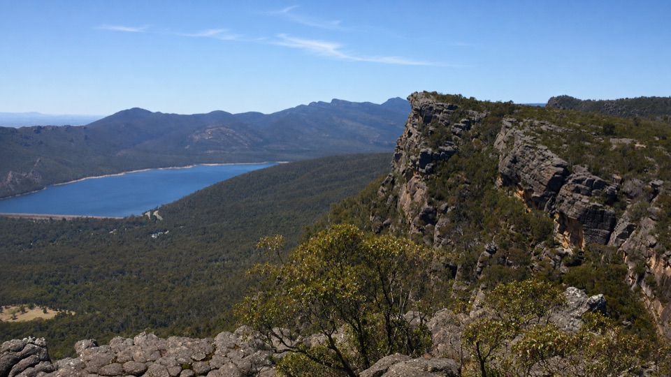
Grampians National Park, VIC
Two hard days over sandstone ridges from Mount Rosea to Mount William
Overview
Map & elevation
Plan your hike

The highest, rockiest slopes around here are a summer buffet for grizzly bears.
Grampians Tour Guide
Parkwolf is a GPS audio tour guide for Grampians National Park. As you drive, it chimes in with what’s ahead: hidden gems, upcoming stops, history, geology, and wildlife, right through your car’s speakers.
Recorded for this trailhead
Mount Rosea: The Gate of the East Wind“You're approaching Rosea Carpark, where the Mount Rosea walk leads into some wonderfully shaped sandstone country.”
Plays as you drive up to this trailhead in the Parkwolf Grampians Tour Guide.
More stories near here in the app
“Fantastic app with many points of information… It’s great to just turn on while you’re driving and it gives you an audio tour of the national Park. We love it!!!!”


Trail guide
Barri Yalug is a one-way, two-day hike of 28.4 km along the Grampians Peaks Trail, starting at Mount Rosea Carpark and finishing at Mount William Carpark. It is graded 4, sits at about 8 out of 10 for practical difficulty, and takes roughly 18 hours of walking spread across the two days. Total ascent is around 1,794 m, with the track running between about 307 m and 1,004 m elevation.
The first day covers about 14.0 km. It begins in sheltered tall eucalypt forest, then climbs into the rocky escarpments of Mount Rosea and over the Bugiga Mirgani summit. From there the route follows exposed sandstone ridges with long views north over Lake Bellfield before descending south past the Borough Huts area to Barri Yalug Hike-in Campground, the single overnight stop on the walk.
Day two is about 14.4 km and is the more demanding half. The climb over Seven Dials and Redman Bluff is sustained and largely exposed, gaining the high ground of the Mount William Range at Duwul Hike-in Campground. A short 1.2 km access walk then drops you out to Mount William Carpark.
The one night on the trail depends on Barri Yalug Hike-in Campground, and advance booking is required with camping fees payable. Campground tank water is untreated and must be treated before drinking. Open campfires are not permitted; use a fuel stove instead. Pets are not permitted in Victorian national parks, with separate rules applying to assistance dogs.
Because this is a point-to-point walk, plan transport before you start. Park at Mount Rosea Carpark to begin and arrange a vehicle shuffle or a licensed transfer to get back from Mount William Carpark, roughly 35 minutes apart by road.
This is a committing walk rather than a casual overnighter. The logistics of booking, water treatment, food and a two-car shuffle add real planning time, the second day's climbs are tiring with a full pack, and rough rocky footing slows progress more than the kilometre count implies. Poor weather on the exposed ridges can turn a scenic day into a long, cold grind, and the point-to-point format means you must organise a vehicle shuffle or a licensed transfer between two carparks about 35 minutes apart by road before you even start walking.
Wildlife
 157 sightingsShort-beaked EchidnaMost seen around 6 PMSighting map
 37 sightingsPowerful OwlMost seen around 6 PMSighting map
 59 sightingsWedge-tailed EagleMost seen around 11 AMSighting map
 24 sightingsEastern Brown SnakeMost seen around 11 AMSighting map
 10 sightingsTiger SnakeMost seen around noonSighting map
 29 sightingsRed-bellied Black SnakeMost seen around 11 AMSighting map
Sighting maps show where each species has been reported across Grampians. Wildlife moves, so no sighting is guaranteed.
Keep exploring
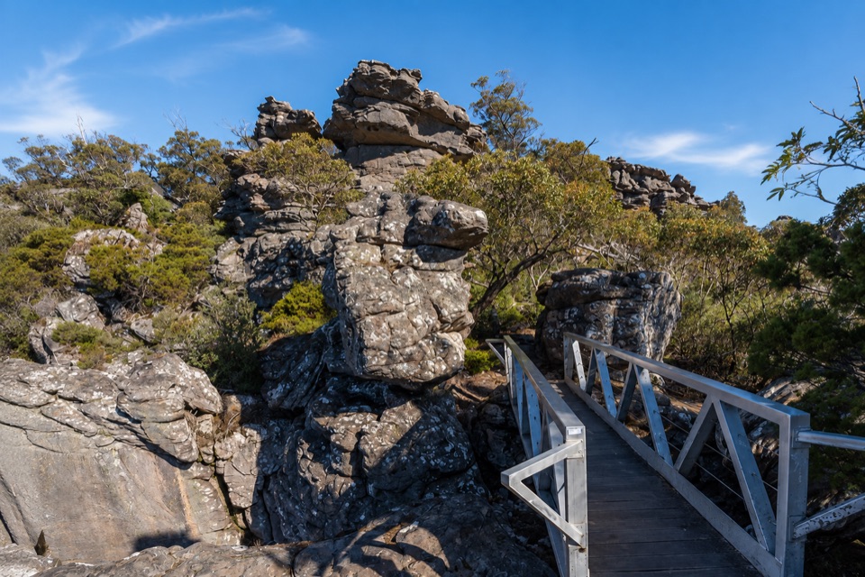 ChallengingMount Rosea Walk8.5 km · 4.5 hr · At the trailheadSteady forest climb to a rocky ridge, chasm bridge and 360-degree summit
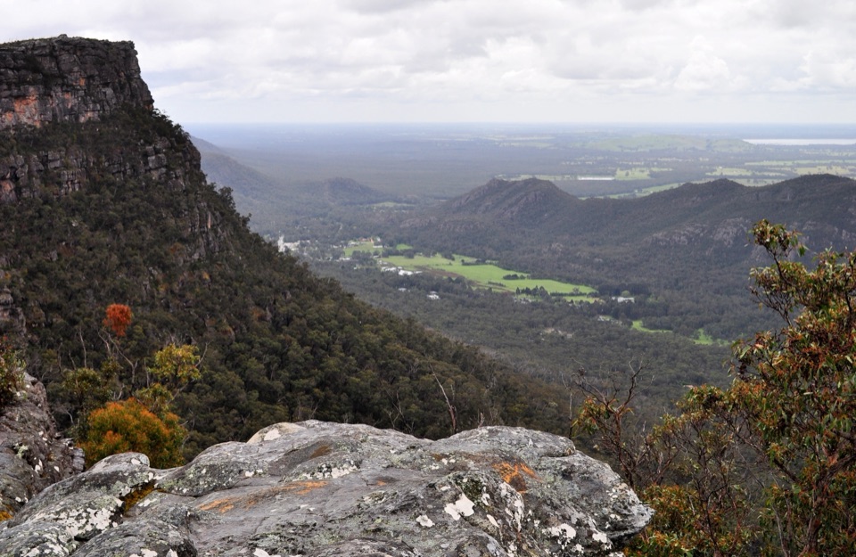 ModerateLakeview Loop Walk1.8 km · 1 hr · 1.3 km awayShort rocky circuit to a lookout over Lake Bellfield and Fyans Valley
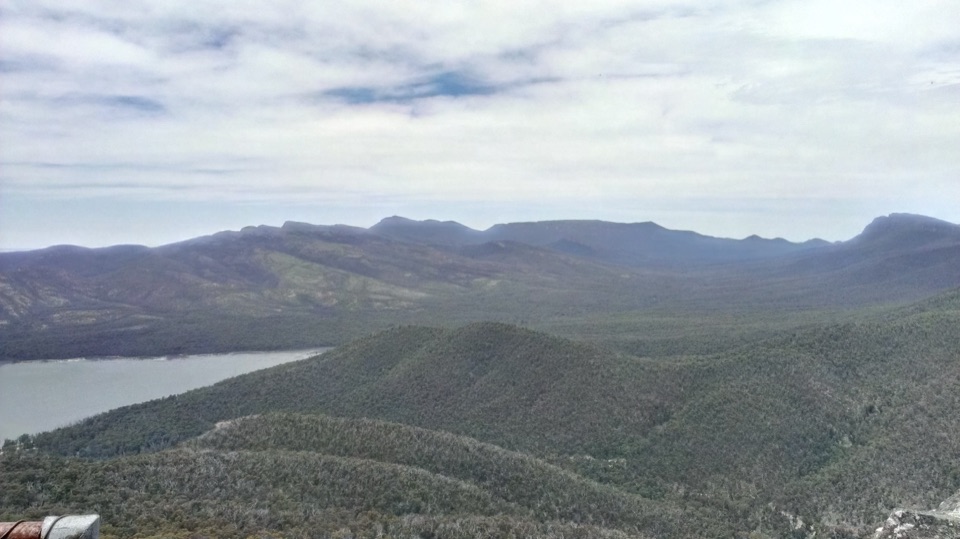 ModerateSundial Peak Walk4 km · 1.8 hr · 1.3 km awayQuiet heathy climb to a lookout over Lake Bellfield and Mount William
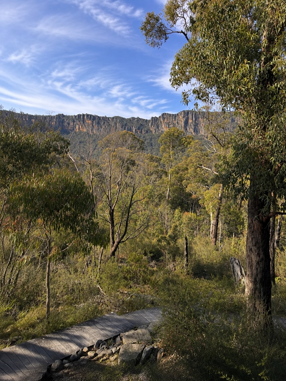 ModerateSundial Carpark to Rosea Carpark4.3 km · 2 hr · 1.3 km awayA 4.3 km wooded circuit with knoll climb and sandstone escarpment views
 ModerateThe Pinnacle via Sundial Carpark4.2 km · 1.8 hr · 1.3 km awayRock-hop past Devil's Gap to a cliff-edge lookout over Halls Gap
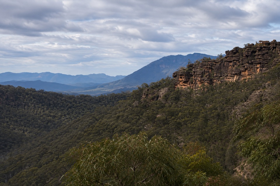 ChallengingTower Hill Walk4.6 km · 3 hr · 2.1 km awaySteep overgrown climb to a rocky summit with wide valley views
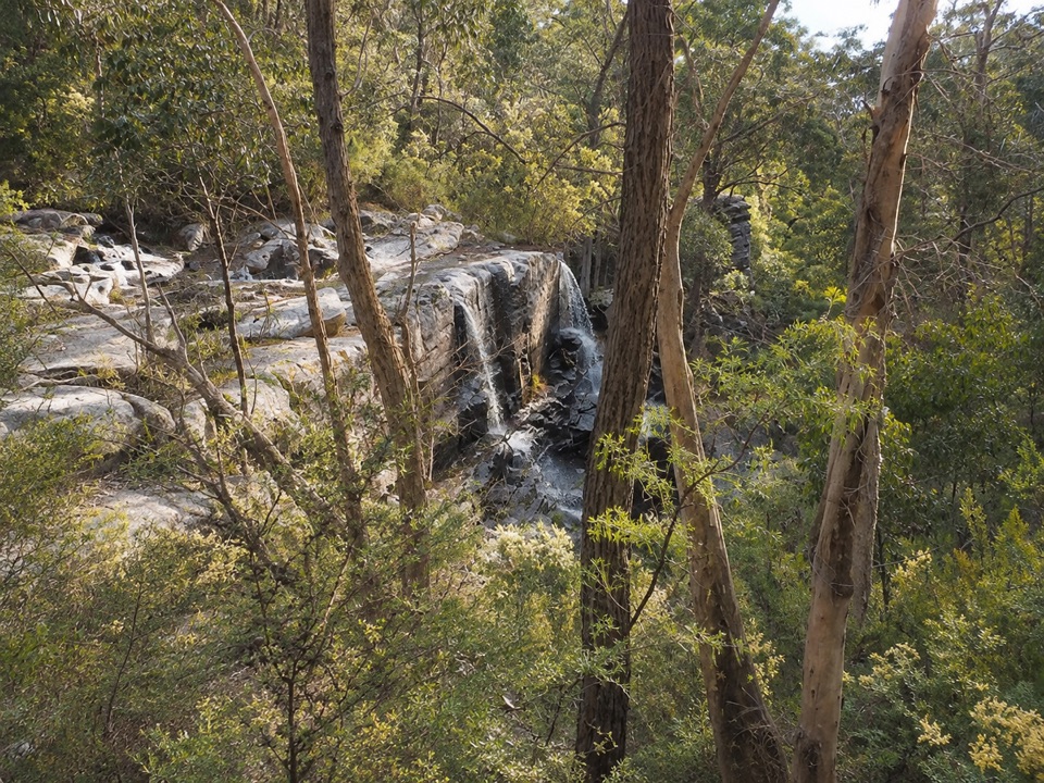 ModerateTurret Falls Walk2.4 km · 1 hr · 3.2 km awayShort gorge climb to a terraced seasonal falls seen from rocky ledgesModerateThe Pinnacle via Wonderland Carpark4 km · 1.5 hr · 3.2 km awaySteep rocky climb through Silent Street to a cliff-edge lookout
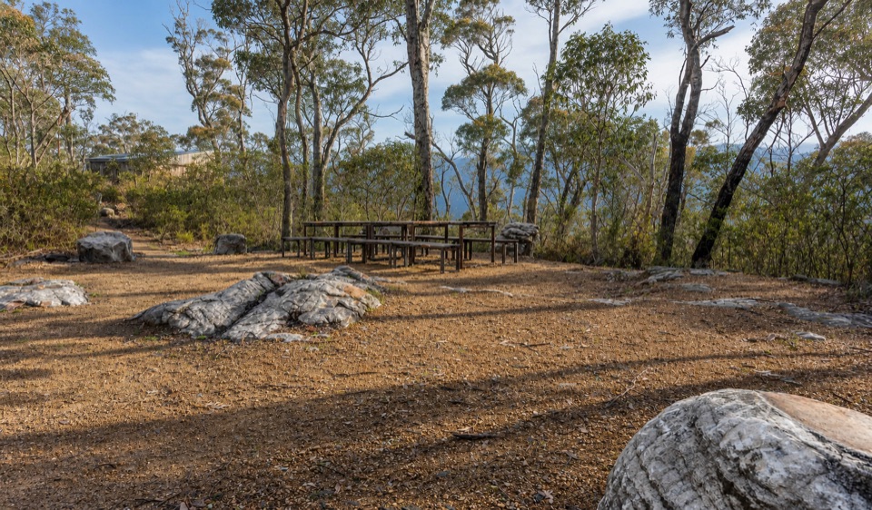 Campground · 1.5 km awayStony Creek Group CampgroundA quiet group camp among pines, granite, and mountain views
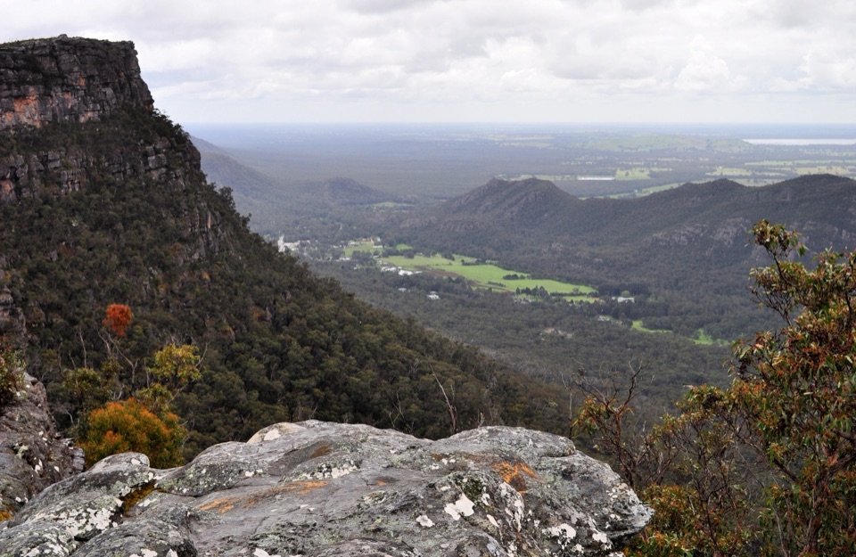 Sight · 1.7 km awayLakeview LookoutA short rocky walk to a wide Lake Bellfield panoramaSight · 2 km awaySundial PeakA quiet summit view over Lake Bellfield and the western ranges
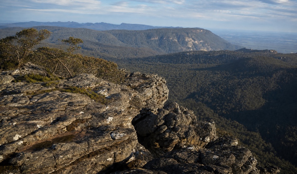 Sight · 2 km awayMount Rosea (Bugiga Mirgani)A rugged summit scramble with wide views across the ranges
 Sight · 2.4 km awayPinnacle LookoutA dramatic rock platform above Halls Gap and Lake Bellfield
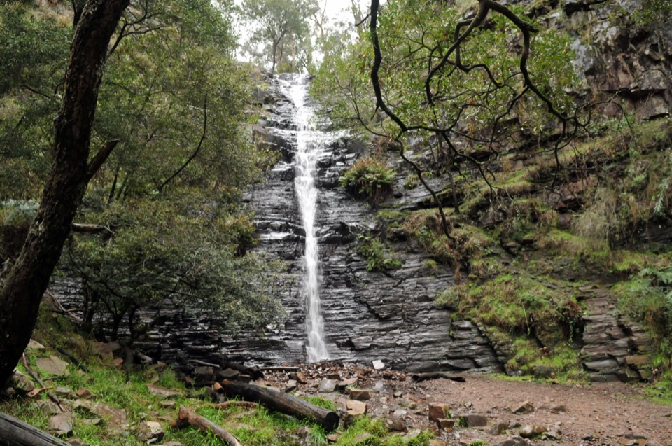 Sight · 2.4 km awaySilverband FallsA ferny walk to water that vanishes into the rocky creek bed
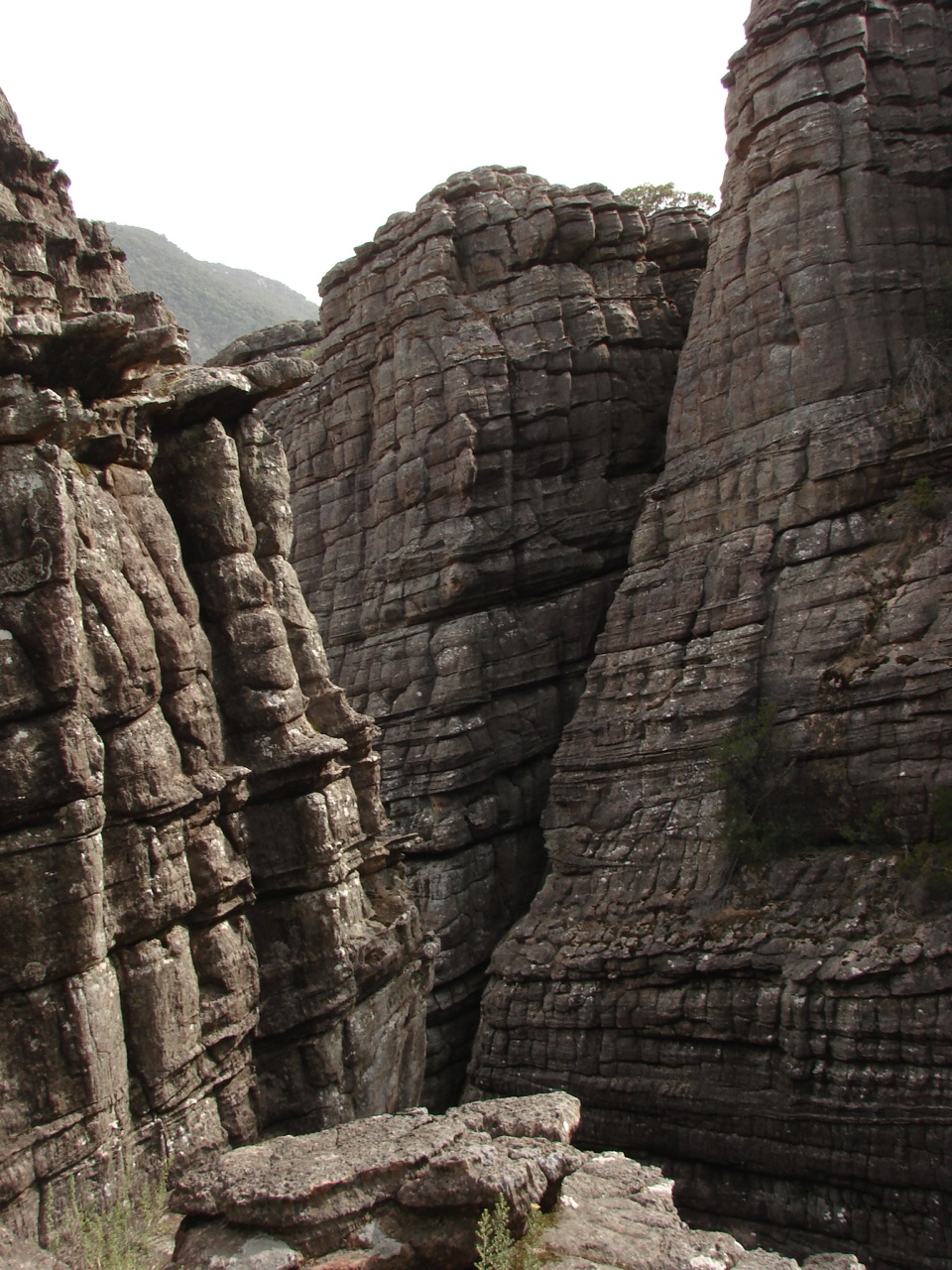 Sight · 3.1 km awayGrand CanyonA narrow sandstone gorge with ladders and seasonal cascades
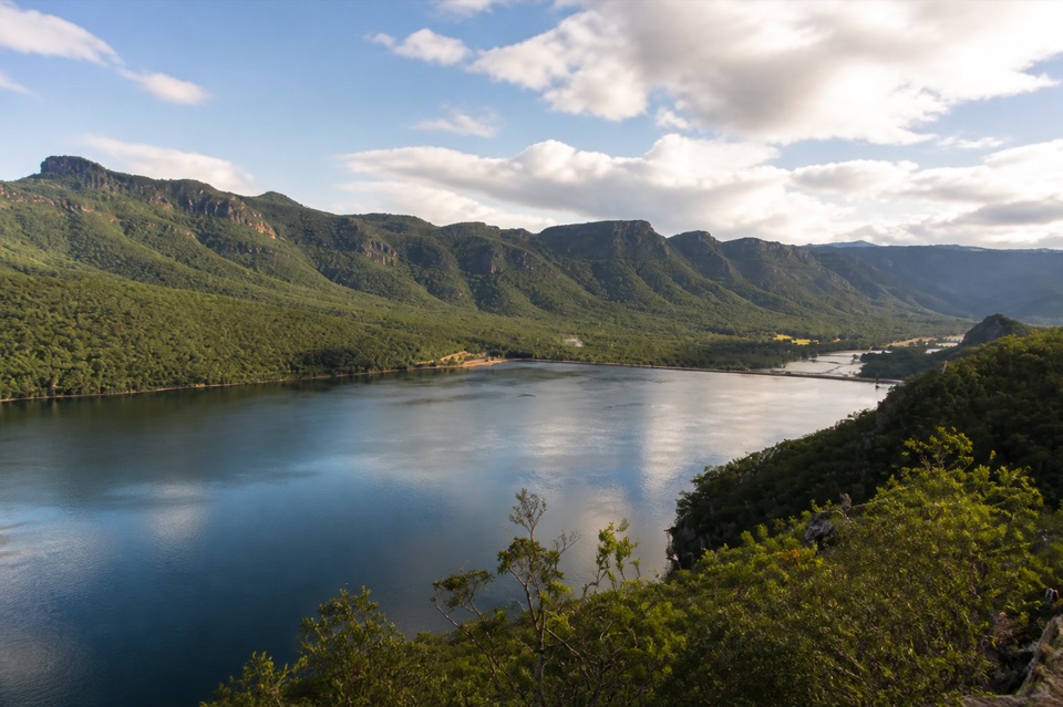 Sight · 3.4 km awayLake BellfieldAn easy dam-wall walk with calm water and mountain reflections
Parkwolf’s Grampians ranking

The audio tour guide for the drive, plus offline maps, trails, and wildlife heatmaps for when the signal drops.




