New Hance Trail in Grand Canyon National Park

Grand Canyon National Park, AZ

New Hance Trail

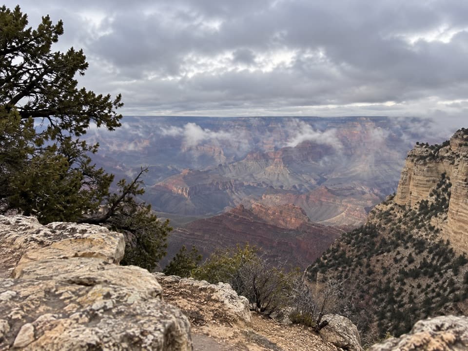
A steep, rough descent through Red Canyon to Hance Rapids.

Photo: Wikimedia Commons
Length
6.5mi
Time
8hr
Elev. change
4,432ft
Difficulty
Challenging
  • No dogs
  • High point 7,031 ft
  • #30 of 73 in Grand Canyon

Hear the audio tour

New Hance Trail’s Red Canyon Descent

Overview

About New Hance Trail

Why go

  • A rare rim-to-river descent through Red Canyon
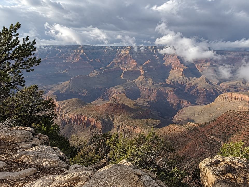
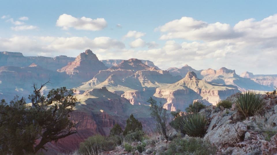
  • Distinctive orange Supergroup layers and a dramatic change of terrain
  • Reaches Hance Rapids and the Colorado River

Heads up

  • Extremely steep, rough footing with scrambles and difficult route-finding
  • No reliable year-round water before the Colorado River
  • One-way route ends at the river and needs a separate exit plan

Map & elevation

The route

Loading the Grand Canyon map
Full map
Elevation2,598–7,031 ft
TrailheadNew Hance Trailhead (Desert View Drive)35.99070, -111.93573
Keep this map with you offline in the Parkwolf app

Plan your hike

Before you go

Parking

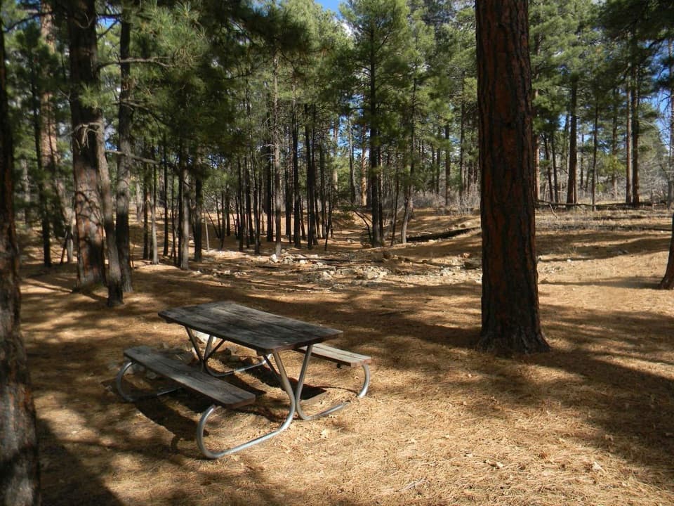
The trailhead is off Desert View Drive (Highway 64), about 16 miles east of the junction with South Entrance Road. The park lists Moran Point parking with a walk west, or the first pullout east of Buggeln Picnic Area on the south side of the road. From the pullout, walk east to the “No Parking” sign and follow the marked quarter-mile path to the trailhead. Follow current parking signs.

Safety

For highly experienced canyon hikers only: expect steep ledge scrambles, loose rock, rockslide-damaged sections, braided tread, and unmarked junctions near the river. The Colorado River is the only reliable year-round water; treat it, and avoid entering the canyon during flash-flood warnings. A backcountry permit is required for overnight camping below the rim. Pets are prohibited below the rim except service animals assisting their handlers.

4 active Grand Canyon alerts

  • ClosureInner Canyon and North Rim trail closuresDo not enter the closed trails, bridges, campgrounds, and inner-canyon areas.Official details
  • ClosureNorth Rim scenic roads closed for repairsCape Royal Road and Point Imperial Road are closed from sunset October 15 through sunrise November 3, 2026. - The roads are closed to accommodate critical road repair and rehabilitation work.Official details
See all 4 alerts
A park ranger sits on a dash-mounted phone, talking, as Parkwolf’s Tour Guide plays “Army Cutworm Moths: A Grizzly Bear Buffet” on Grand Loop Road below Dunraven Pass in Yellowstone
Parkwolf Tour GuideThe highest, rockiest slopes around here are a summer buffet for grizzly bears.

Grand Canyon Tour Guide

Your drive to New Hance Trail, narrated.

Parkwolf is a GPS audio tour guide for Grand Canyon National Park. As you drive, it chimes in with what’s ahead: hidden gems, upcoming stops, history, geology, and wildlife, right through your car’s speakers.

See the Grand Canyon audio tour

Recorded for this trailhead

New Hance Trail’s Red Canyon Descent
0:00 / 0:28
“You're nearing the access for New Hance Trail, a rough descent through Red Canyon to the Colorado River. John Hance built this route in eighteen ninety-four after rockslides and washouts ruined his older trail.”

Plays as you drive up to this trailhead in the Parkwolf Grand Canyon Tour Guide.

More stories near here in the app

  • Moran Point’s View and Uncertain Namesake
  • Buggeln Picnic Area’s Ranching Past
  • The Horse That Turned Back Midair
  • A Song That Runs Downhill
  • 79 audio storiesacross Grand Canyon’s roads, triggered by GPS as you drive
  • Wildlife heatmapsfor California Condor, Bighorn Sheep, American Bison, and 13 more
  • Works offlinemaps, 73 trails, 96 places, and audio download before you lose signal
  • CarPlay readysimple controls built for the drive
★★★★★
“Fantastic app with many points of information… It’s great to just turn on while you’re driving and it gives you an audio tour of the national Park. We love it!!!!”
JMJamesApp Store review
Download Parkwolf on the App StoreGet Parkwolf on Google Play

4.7 from 8,600+ ratings

Trail guide

Hiking New Hance Trail

What the route asks of youNew Hance is a 6.

New Hance is a 6.5-mile one-way descent from Desert View Drive to the Colorado River at Hance Rapids, dropping 4,422 feet through Red Canyon. It is a point-to-point backcountry route, not a loop: the line ends at the river, so plan your continuation or return before leaving the rim. The park recommends it only for highly experienced canyon hikers. The tread is rough and route-finding is part of the hike; I’d reserve a full day for the descent. A same-trail return would be about 13 miles with nearly 8,900 feet of total climbing and descending. Day hikes do not require a permit, but overnight camping below the rim does.

From the rim to Red Canyon OverlookThe trail starts with short scrambles and down-climbs over ledges through Kaibab Limestone,…

The trail starts with short scrambles and down-climbs over ledges through Kaibab Limestone, Toroweap, and Coconino Sandstone. The Coconino section is especially obscure; it can be difficult to follow at night and nearly impossible after significant snowfall. Near a saddle around a mile in, Coronado Butte comes into view and the route drops into a braided drainage through the Supai layers. Those paths wander in and out of the wash, so pay attention to where the trail leaves and rejoins it. Red Canyon Overlook is about 2 miles from the highway and marks a major change in the descent.

The traverse and RedwallFrom the overlook, the trail leaves the wash for a difficult, roughly mile-long traverse east…

From the overlook, the trail leaves the wash for a difficult, roughly mile-long traverse east through lower Supai. Shallow gullies and rockslides have broken up sections of tread. Around mile 3, a knob marks the top of the Redwall descent. Below it, the route angles down a rounded ridge beside the creek with few switchbacks; the slope can look gentler from above than it feels underfoot.

The last miles to the riverAt about mile 4.9, the route reaches the creek bed.

At about mile 4.9, the route reaches the creek bed. From here the dry bottom of Red Canyon is the trail, over gravel and boulders, with short pour-offs bypassed on the east side. Near Hance Rapids, the unmarked Tonto Trail junction heads west and the Escalante Route begins east, both near the base of a large dune and both easy to miss. The mapped route covers New Hance only, ending at Hance Rapids; a Tonto and Grandview continuation is a separate trip.

Water and overnight logisticsThe Colorado River is the only reliable year-round water source.

The Colorado River is the only reliable year-round water source. Spring water may collect in pools where the trail first meets the Red Canyon bed from late fall through April, but do not build a plan around it. River water needs treatment; when it is muddy, let silt settle first and carry a backup purification method. Campsites along the route are dry. At Hance Rapids, an upstream sandy beach is sometimes shared with boaters; quieter downstream camps sit west of Red Canyon at the dune. Overnight camping in the Red Canyon use area requires a backcountry permit.

John Hance and the canyon layersThe trail closely follows the 1894 alignment John Hance built down Red Canyon after washouts…

The trail closely follows the 1894 alignment John Hance built down Red Canyon after washouts and rockslides made the older Old Hance route into Hance Creek impassable. Hance came to the canyon in 1883, first for mining, then became known as a guide and hotel manager. Red Canyon’s exposed Grand Canyon Supergroup layers help show the vast missing interval called the Great Unconformity between the Vishnu basement and Tapeats Sandstone. The vivid orange Hakatai Shale is especially noticeable; a basalt dike across the river at Hance Rapids ties the geology to the trail’s endpoint.

Access and fitThe trailhead is off Desert View Drive, and the parking options require a short walk to the…

The trailhead is off Desert View Drive, and the parking options require a short walk to the marked start. This is a poor match for anyone expecting a maintained, clearly signed day loop or a quick walk to the river. Check current park conditions before committing: the route’s dry wash, steep ledges, and difficult junctions leave little room for a rushed descent.

Wildlife

Wildlife in Grand Canyon

All Grand Canyon wildlife maps

Sighting maps show where each species has been reported across Grand Canyon. Wildlife moves, so no sighting is guaranteed.

Keep exploring

Near New Hance Trail

See it all on the map

Trails that start nearby

Places near the trailhead

Parkwolf’s Grand Canyon ranking

Top-rated trails in Grand Canyon

All 73 trails
  1. 1Rim-to-Rim: North Kaibab to Bright AngelChallenging · 23.5 mi
  2. 2South Kaibab TrailChallenging · 6.3 mi
  3. 3Bright Angel TrailChallenging · 7.8 mi
  4. 4Rim TrailModerate · 12.8 mi
  5. 5Rim-to-Rim: South Kaibab to North KaibabChallenging · 21 mi
  6. 6Cape Royal TrailEasy · 0.8 mi

Take Parkwolf to Grand Canyon.

The audio tour guide for the drive, plus offline maps, trails, and wildlife heatmaps for when the signal drops.

4.7 from 8,600+ ratings

Download Parkwolf on the App StoreGet Parkwolf on Google Play