Snake Divide Route in Great Basin National Park

Great Basin National Park, NV

Snake Divide Route

Ancient bristlecones reward a steep, faintly marked ridge hike.

Length
13.4mi
Time
9.5hr
Elev. change
3,215ft
Difficulty
Challenging
  • No dogs
  • High point 11,437 ft

Hear the audio tour

Snake Creek: Johnson Lake and the Old Mine

Overview

About Snake Divide Route

Why go

  • Two remote bristlecone groves, with trees thousands of years old
  • A long ridge climb to Mount Washington

Heads up

  • The faint upper route demands map-and-compass navigation
  • Long, high-altitude outing with no potable water at the trailhead

Map & elevation

The route

Loading the Great Basin map
Full map
Elevation8,222–11,437 ft
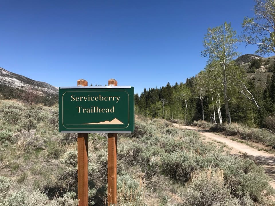
TrailheadSnake Creek Trailhead38.92602, -114.25177
Keep this map with you offline in the Parkwolf app

Plan your hike

Before you go

Parking

Follow Snake Creek Road to its end at Snake Creek Trailhead, roughly 12 road miles from Highway 487. Use the designated spaces only; parking along the road or outside marked spaces is prohibited. Pit toilets are available, but there is no running water.

Safety

This is a rough, faintly marked backcountry route. Use a GPS track, map and compass, and know how to navigate if flags or cairns are hard to follow; do not move or build cairns. The trail starts around 8,200 feet and climbs about 3,418 feet to an exposed ridge and 11,658-foot summit, where strong winds can be cold and draining. There is no potable water along Snake Creek Road; carry a full day supply. Not recommended for children or hikers unsteady on their feet. Pets are prohibited except trained service animals.

4 active Great Basin alerts

  • CautionStage II fire restrictions prohibit outdoor fires and smokingStage II fire restrictions are active throughout Great Basin National Park because of extreme fire danger. - Do not use campfires, charcoal grills, or smoke outdoors anywhere in the park.Official details
  • CautionPotable water is unavailable at park campgroundsPotable water is currently unavailable in every Great Basin National Park campground; bring sufficient water or fill containers before settling in.Official details
See all 4 alerts
A park ranger sits on a dash-mounted phone, talking, as Parkwolf’s Tour Guide plays “Army Cutworm Moths: A Grizzly Bear Buffet” on Grand Loop Road below Dunraven Pass in Yellowstone
Parkwolf Tour GuideThe highest, rockiest slopes around here are a summer buffet for grizzly bears.

Great Basin Tour Guide

Your drive to Snake Divide Route, narrated.

Parkwolf is a GPS audio tour guide for Great Basin National Park. As you drive, it chimes in with what’s ahead: hidden gems, upcoming stops, history, geology, and wildlife, right through your car’s speakers.

Recorded for this trailhead

Snake Creek: Johnson Lake and the Old Mine
0:00 / 0:26
“Up ahead are the Snake Creek trailheads, with a long hike to Johnson Lake and its old mining district.”

Plays as you drive up to this trailhead in the Parkwolf Great Basin Tour Guide.

More stories near here in the app

  • Many Aspen Trunks, One Plant
  • A Kangaroo Rat Without a Drink
  • Baker Creek Trailhead: Lake or Meadow Loop
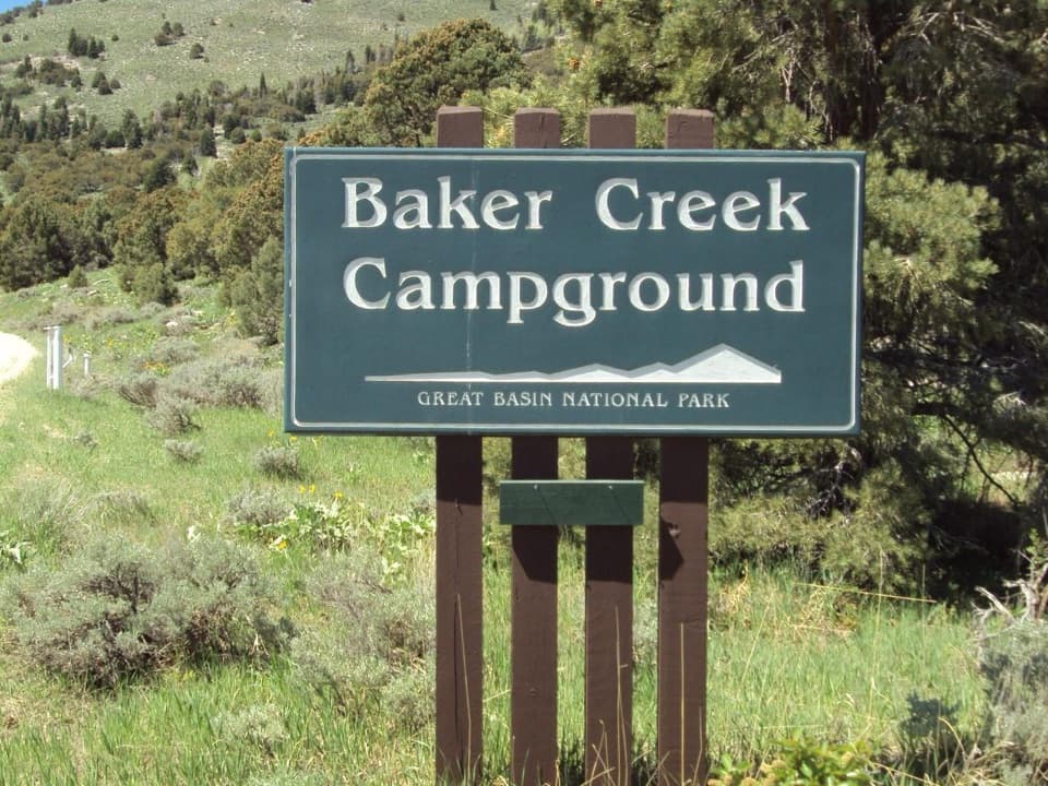
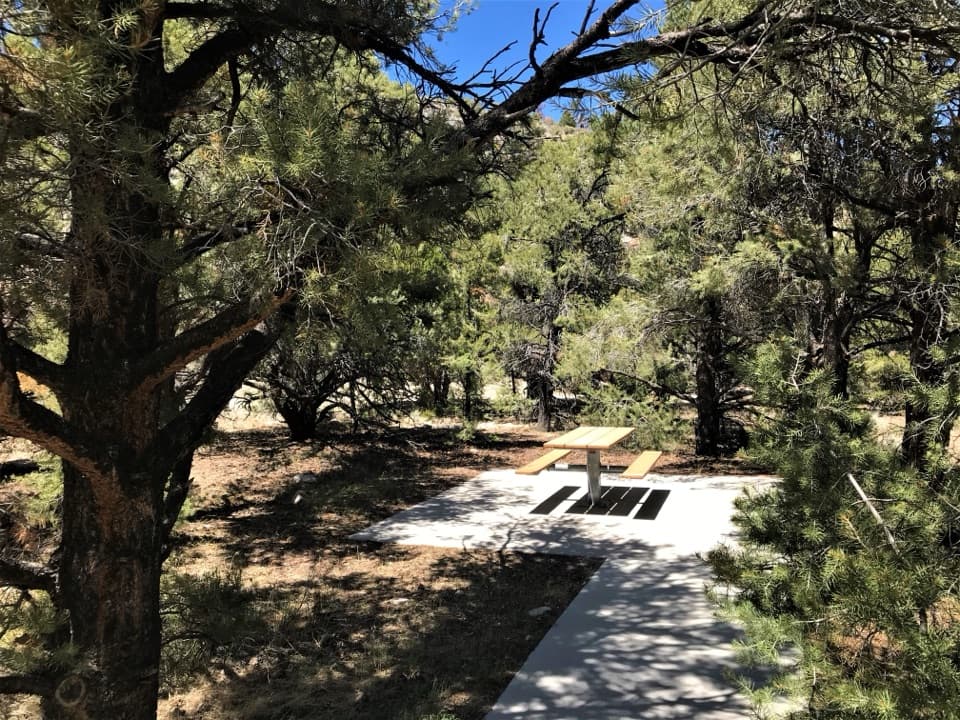
  • Baker Creek Campground: Choose Your Setting
  • 36 audio storiesacross Great Basin’s roads, triggered by GPS as you drive
  • Wildlife heatmapsfor Elk, Mule Deer, Wild Turkey, and 13 more
  • Works offlinemaps, 29 trails, 29 places, and audio download before you lose signal
  • CarPlay readysimple controls built for the drive
★★★★★
“Fantastic app with many points of information… It’s great to just turn on while you’re driving and it gives you an audio tour of the national Park. We love it!!!!”
JMJamesApp Store review
Download Parkwolf on the App StoreGet Parkwolf on Google Play

4.7 from 8,600+ ratings

Trail guide

Hiking Snake Divide Route

The full-day choiceSnake Divide Route is a rugged backcountry out-and-back from Snake Creek Trailhead along…

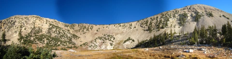
Snake Divide Route is a rugged backcountry out-and-back from Snake Creek Trailhead along Shoshone and Snake Divide to the bristlecone groves near Mount Washington. The full summit outing is listed at 13.4 miles round trip, 7–12 hours, and 3,418 feet of climbing, from an 8,200-foot start to Mount Washington at 11,658 feet. That is a hard day even though one overview labels it moderate. A detailed route account puts the summit outing at 12.6 miles, and the mapped corridor is shorter again, so the upper route's mileage can vary with route-finding. Use the official 13.4-mile figure to plan. Turning around at Magic Grove is the shorter, officially listed 12-mile round trip.

Finding the ridgeStart on the well-defined Shoshone Trail, cross its footbridge over Snake Creek, and follow it…

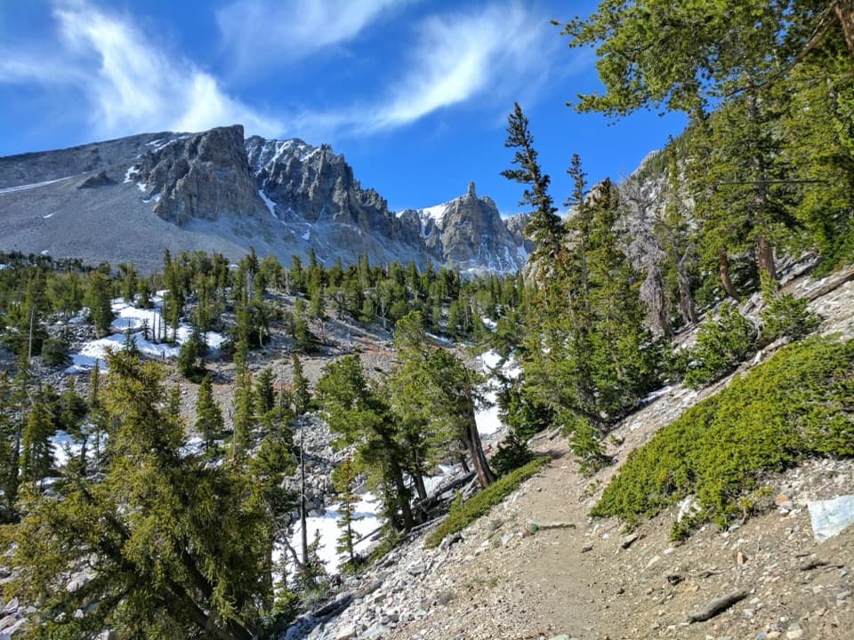
Start on the well-defined Shoshone Trail, cross its footbridge over Snake Creek, and follow it about 1.3 miles to the Snake Divide junction. Turn west. The climb is winding and steep; views of Mount Washington open after the first ridge section. Later, the route traverses an uneven sidehill before regaining the ridge. Beyond the junction, tread can fade to occasional flagging and rock cairns. Follow a downloaded track with a map and compass, and know how to use them; leave the cairns alone.

The groves and summitMagic Grove sits below Mount Washington; Mount Washington Grove is higher on its slopes.

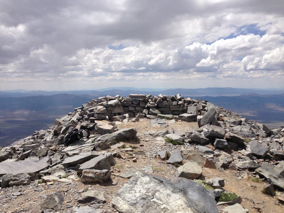
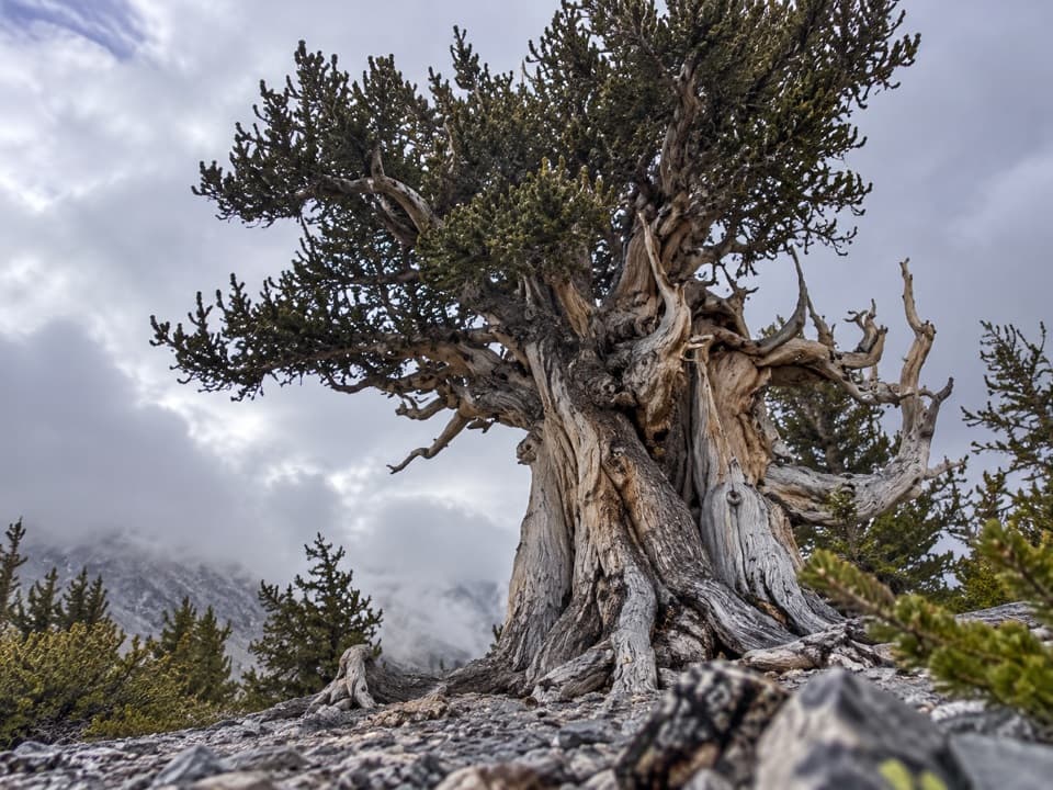
Magic Grove sits below Mount Washington; Mount Washington Grove is higher on its slopes. Bristlecone pines here can be thousands of years old. Dead wood also carries their climate record, so gathering or burning any part of it is prohibited. At the grove, frame a gnarled trunk with rocky ground and nearby trees to show how the pines stand apart. The summit extension adds the high point and looser footing near a false summit.

Trailhead and waterSnake Creek Road ends at the trailhead, roughly 12 road miles from Highway 487.

Snake Creek Road ends at the trailhead, roughly 12 road miles from Highway 487. Park only in the designated spaces; roadside parking is prohibited. There are pit toilets without running water, and no potable water along the road. No pets except trained service animals. The route is not recommended for children or anyone unsteady on their feet.

Wildlife

Wildlife in Great Basin

All Great Basin wildlife maps

Sighting maps show where each species has been reported across Great Basin. Wildlife moves, so no sighting is guaranteed.

Keep exploring

Near Snake Divide Route

See it all on the map

Trails that start nearby

Places near the trailhead

Parkwolf’s Great Basin ranking

Top-rated trails in Great Basin

All 29 trails
  1. 1Bristlecone TrailModerate · 2.8 mi
  2. 2Wheeler Peak Summit TrailChallenging · 8.6 mi
  3. 3Alpine Lakes LoopEasy · 2.7 mi
  4. 4Glacier TrailModerate · 4.8 mi
  5. 5Alpine Lakes, Bristlecone, and Glacier LoopChallenging · 6 mi
  6. 6Baker & Johnson Lakes LoopChallenging · 11.7 mi

Take Parkwolf to Great Basin.

The audio tour guide for the drive, plus offline maps, trails, and wildlife heatmaps for when the signal drops.

4.7 from 8,600+ ratings

Download Parkwolf on the App StoreGet Parkwolf on Google Play