Parking
Follow Snake Creek Road to its end and use the designated Snake Creek Trailhead lot. Parking outside marked spaces or along the road is prohibited. Pit toilets are at the trailhead.
Great Basin National Park, NV
A short walk leads to a quiet bench above the lower valley.
Overview
Map & elevation
Plan your hike

The highest, rockiest slopes around here are a summer buffet for grizzly bears.
Great Basin Tour Guide
Parkwolf is a GPS audio tour guide for Great Basin National Park. As you drive, it chimes in with what’s ahead: hidden gems, upcoming stops, history, geology, and wildlife, right through your car’s speakers.
Recorded for this trailhead
Snake Creek: Johnson Lake and the Old Mine“Up ahead are the Snake Creek trailheads, with a long hike to Johnson Lake and its old mining district.”
Plays as you drive up to this trailhead in the Parkwolf Great Basin Tour Guide.
More stories near here in the app
“Fantastic app with many points of information… It’s great to just turn on while you’re driving and it gives you an audio tour of the national Park. We love it!!!!”


Trail guide
This easy lollipop from Snake Creek Trailhead takes about an hour. Walk the shared approach to a short overlook loop, then return along the same trail. A bench looks over the lower valley. The complete route measures about 1.4 miles from the mapped trail geometry; park information still lists 1.1 miles, so plan for the longer figure.
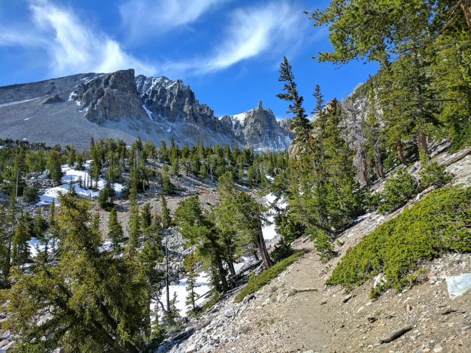
A short wooden bridge crosses Snake Creek, then the trail passes two walk-in primitive campsites. Most of the climb comes near the overlook. The bench is a little over a tenth of a mile around the upper loop; take the counterclockwise side to reach the view sooner, then finish the loop before retracing the shared approach.
The route climbs through pine, fir and aspen. Spring wildflowers can continue into summer in some years. The trail starts around 8,200 feet, so even this short hike begins at high elevation.
There is no potable water along Snake Creek Road. Pit toilets without running water are at the trailhead. Pets are not allowed on park trails; trained service animals are permitted. Snake Creek Road closes in winter when snow and ice make it impassable.
Wildlife
 22 sightingsElkMost seen around 8 PMSighting map
 237 sightingsMule DeerMost seen around 6 AMSighting map
 185 sightingsWild TurkeyMost seen around 7 AMSighting map
 22 sightingsRattlesnakeMost seen around 6 PMSighting map
 23 sightingsDusky GrouseMost seen around 7 AMSighting map
 18 sightingsThree-toed WoodpeckerMost seen around 8 AMSighting map
Sighting maps show where each species has been reported across Great Basin. Wildlife moves, so no sighting is guaranteed.
Keep exploring
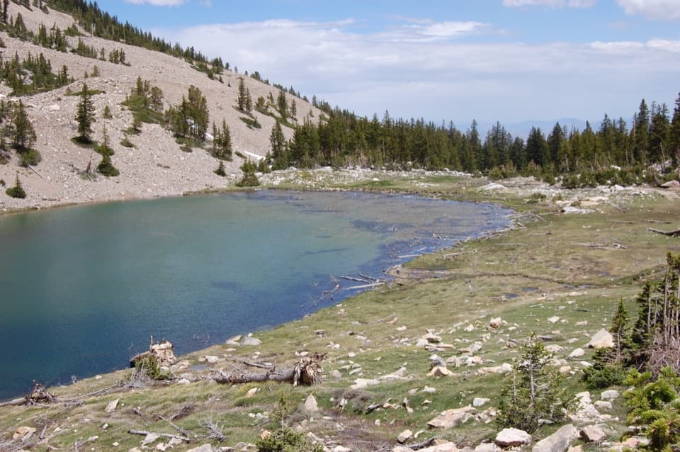 ChallengingJohnson Lake Trail via Snake Creek8 mi · 6 hr · At the trailheadA steep, high-altitude climb to an alpine lake and mine ruins.
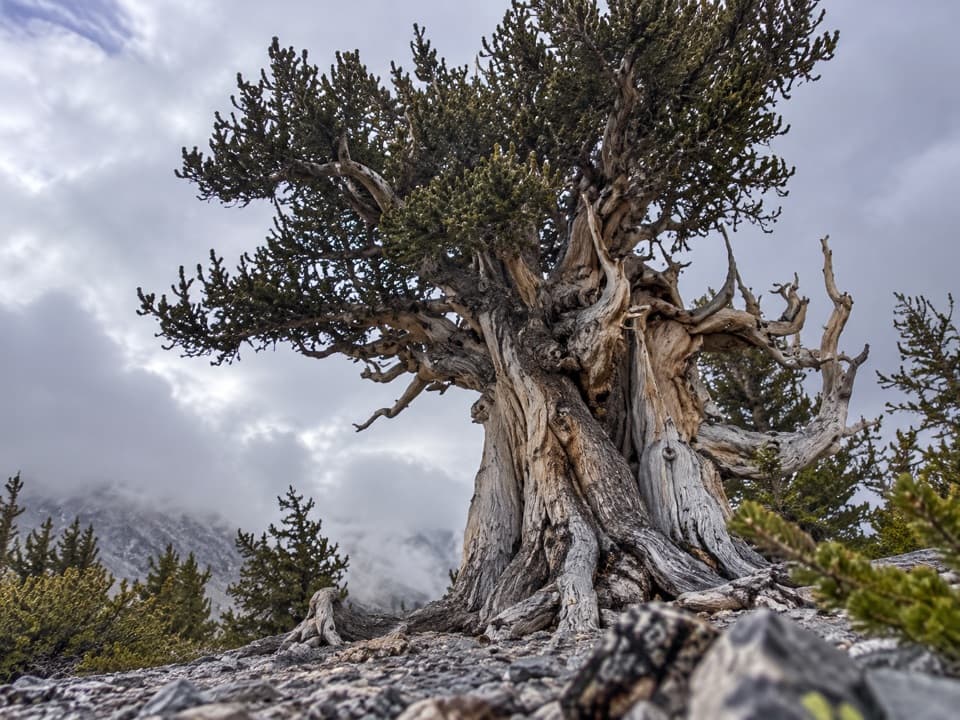 ChallengingSnake Divide Route13.4 mi · 9.5 hr · At the trailheadAncient bristlecones reward a steep, faintly marked ridge hike.
 EasyShoshone ADA Trail0.2 mi · 15 min · At the trailheadA quick creekside stop with a small accessible fishing platform.
 ModerateDead Lake Loop5.1 mi · 4 hr · At the trailheadA seasonal alpine lake and Snake Valley views reward the climb.
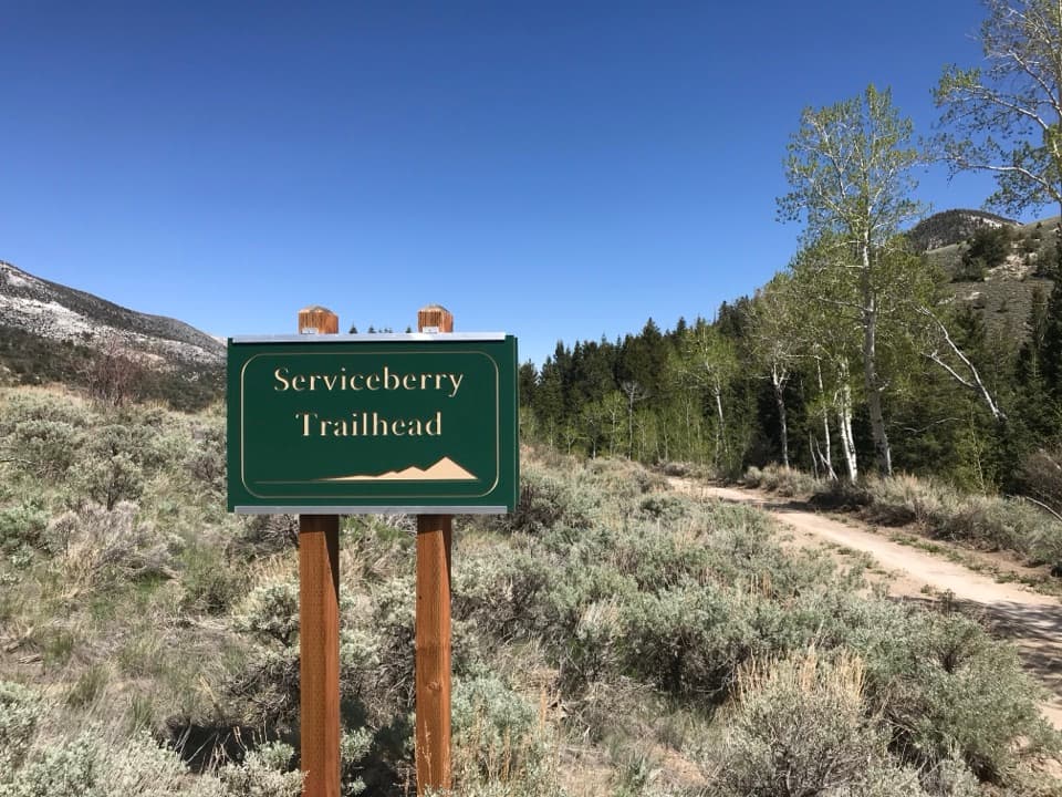 ModerateServiceberry Trail3.2 mi · 2 hr · 0.3 mi awaySwitchback views across open sagebrush toward Eagle and Granite peaks.
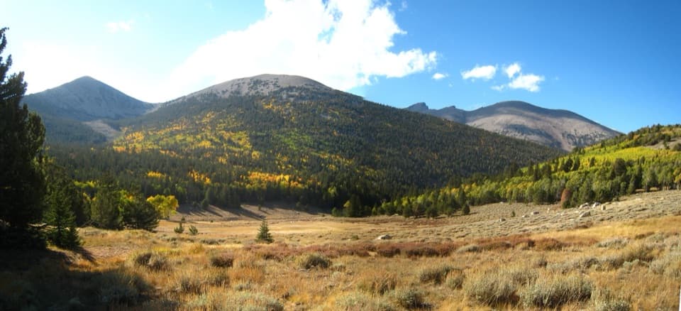 ChallengingTimber Creek Trail5.1 mi · 4.5 hr · 3.5 mi awayClimb through pines to a Pyramid Peak meadow, then loop back.
 ChallengingBaker & Johnson Lakes Loop11.7 mi · 10 hr · 3.5 mi awayTwo high lakes and a century of tungsten mining.ChallengingBaker Lake Trail10.4 mi · 8 hr · 3.5 mi awayA high alpine lake at the end of a full-day climb.
 Sight · 2 mi awayJohnson Lake Mine Historic DistrictA tough climb into the story of a remote tungsten mine.
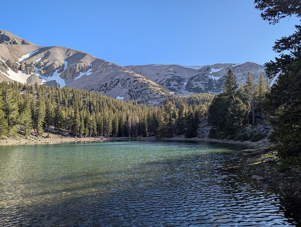
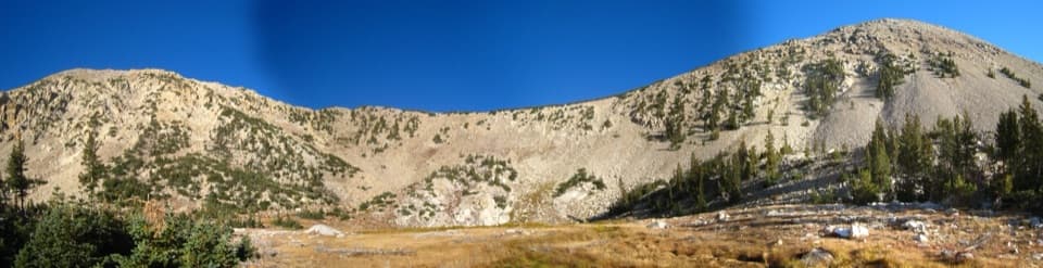 Sight · 2.8 mi awayJohnson LakeA high alpine lake with a long climb and mine cabins nearby.Sight · 3.8 mi awayBaker LakeA high cirque lake at the end of a strenuous full-day climb.
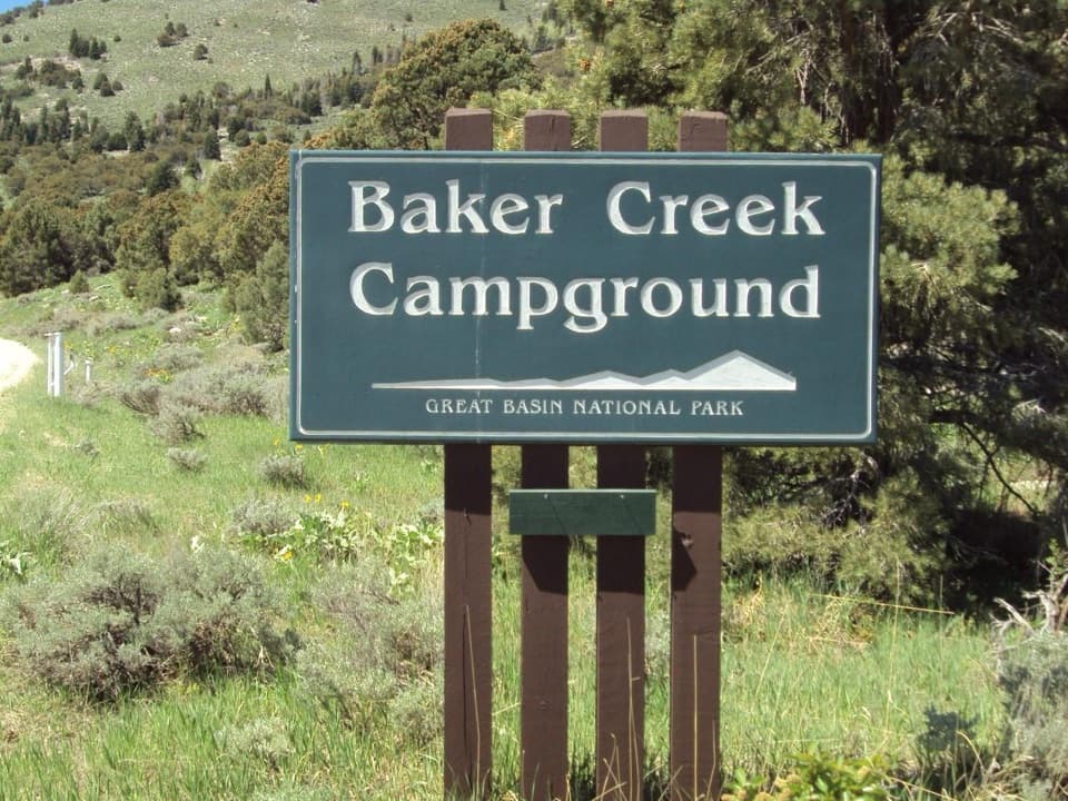 Campground · 4.1 mi awayBaker Creek CampgroundA quiet base for Baker Lakes trails and dark-sky nights.
 Campground · 4.7 mi awayGrey Cliffs CampgroundA 16-site tent campground beside limestone cliffs; bring your own water.
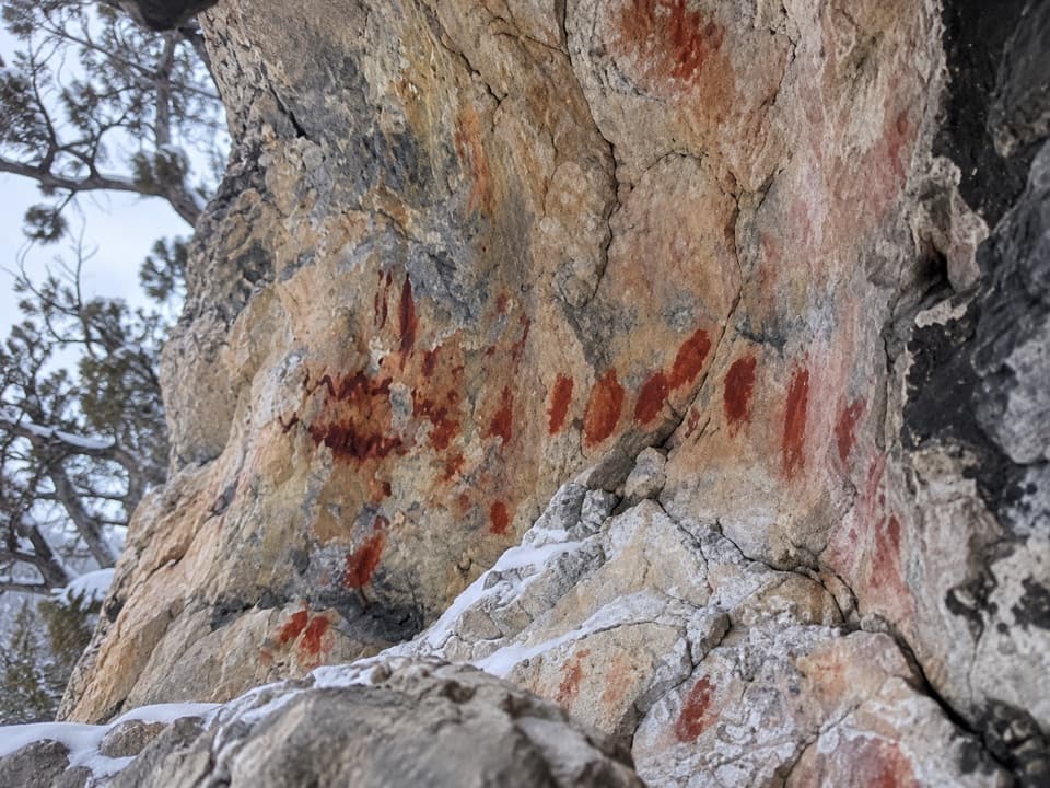 Sight · 4.8 mi awayUpper Pictograph CaveRed pictographs worth a look from outside the shelter.
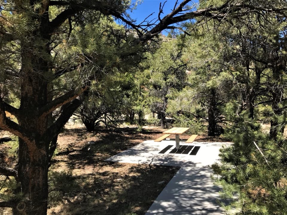 Picnic area · 4.9 mi awayPole Canyon Trailhead Picnic AreaTake a shaded break at accessible tables with charcoal grills.
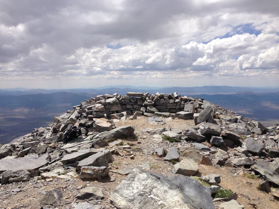 Sight · 5.3 mi awayWheeler PeakLong, exposed climb to Nevada’s second-highest summit.
Parkwolf’s Great Basin ranking

The audio tour guide for the drive, plus offline maps, trails, and wildlife heatmaps for when the signal drops.