Parking
Snake Creek Road ends at Snake Creek Trailhead. Use designated spaces only; roadside and out-of-space parking are prohibited.

Great Basin National Park, NV
A seasonal alpine lake and Snake Valley views reward the climb.
Overview
Map & elevation
Plan your hike

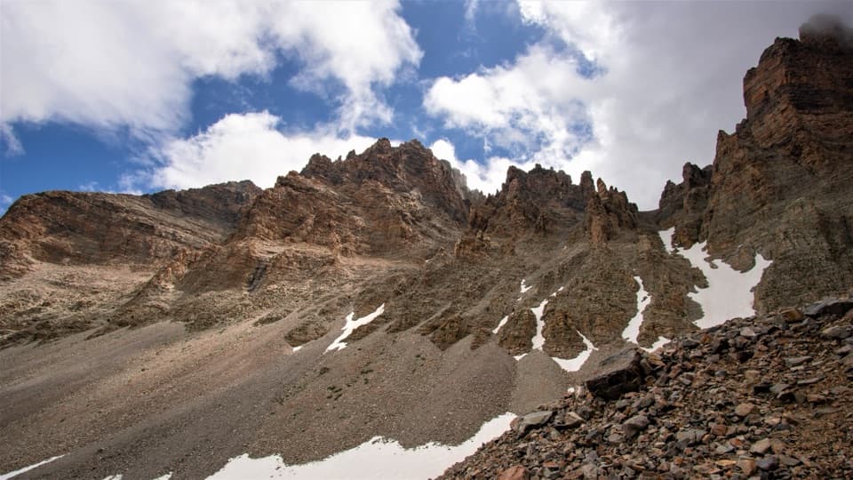
The highest, rockiest slopes around here are a summer buffet for grizzly bears.
Great Basin Tour Guide
Parkwolf is a GPS audio tour guide for Great Basin National Park. As you drive, it chimes in with what’s ahead: hidden gems, upcoming stops, history, geology, and wildlife, right through your car’s speakers.
See the Great Basin audio tourRecorded for this trailhead
Snake Creek: Johnson Lake and the Old Mine“Up ahead are the Snake Creek trailheads, with a long hike to Johnson Lake and its old mining district.”
Plays as you drive up to this trailhead in the Parkwolf Great Basin Tour Guide.
More stories near here in the app
“Fantastic app with many points of information… It’s great to just turn on while you’re driving and it gives you an audio tour of the national Park. We love it!!!!”


Trail guide
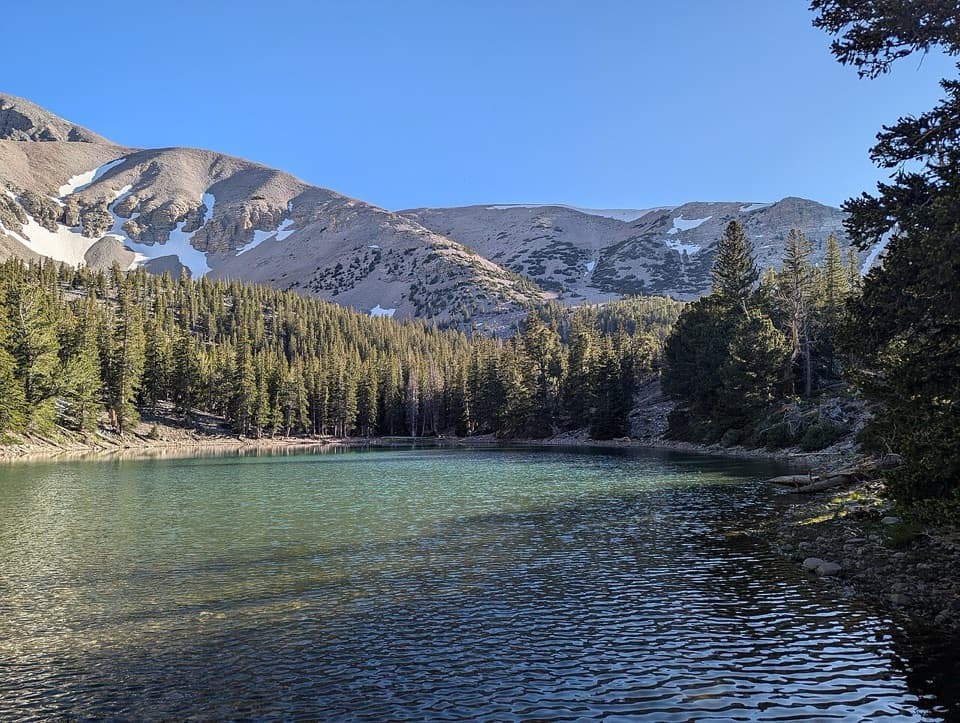
Dead Lake Loop is a 5.1-mile clockwise circuit from Snake Creek Trailhead, climbing to a small alpine lake before returning on Johnson Lake Trail. Allow three to five hours for a moderate hike with about 1,520 feet of gain from an 8,200-foot start. Choose it for a real climb through high-elevation forest, a lake basin that changes with the snowpack, and Snake Valley views on the descent. Follow the loop clockwise for the recommended view on the way down.
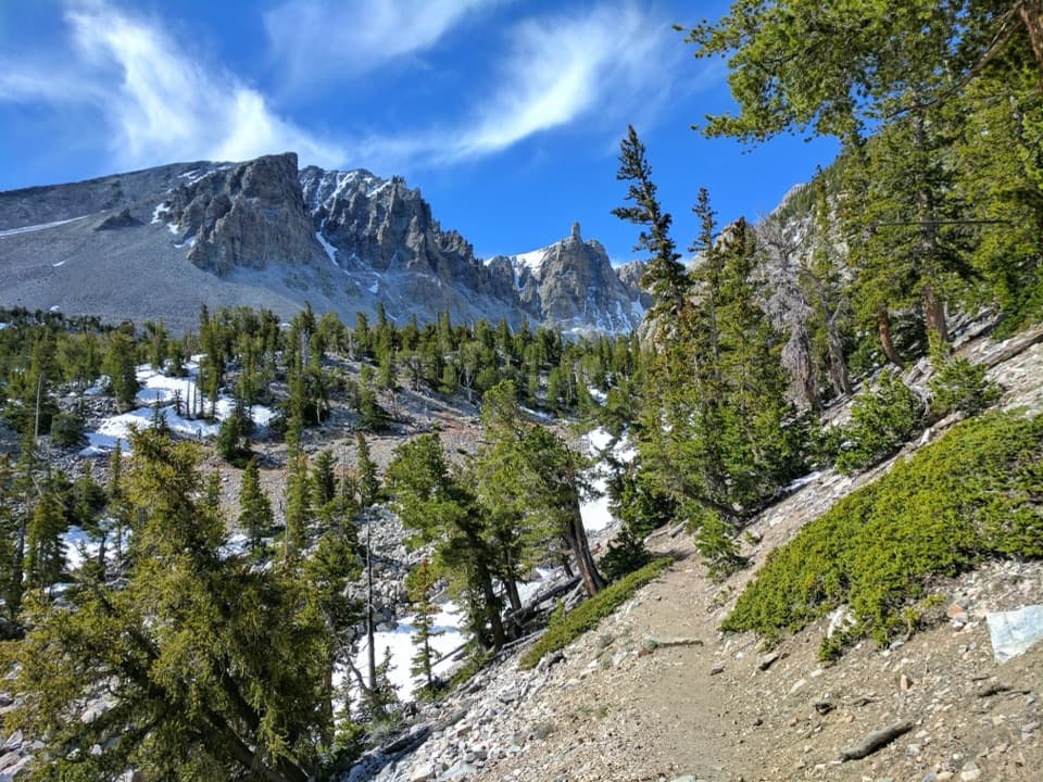
From the road-end trailhead, take the Dead Lake side of the route. It briefly shares the Shoshone Trail before branching toward the lake. The ascent is steep and stays mostly among pines, firs and aspens, so the opening miles have few views. Near the basin the grade eases, and the route crosses South Fork Johnson Creek on a narrow wooden bridge before reaching the lake.
Dead Lake is a small snowmelt-fed tarn, not a dependable year-round pool. After a dry winter or by late summer it can shrink sharply or dry up; a snowy winter can keep it filled later into the season. Spring wildflowers sometimes last into summer, and the aspens add fall color among the conifers.
After the lake, the circuit connects with Johnson Lake Trail for the return to Snake Creek. The descent is the stretch known for views across Snake Valley. The footing and sustained climb make this a more demanding walk than the distance alone suggests; the route is not wheelchair-accessible. No potable water is available along Snake Creek Road, so bring what you need. Pit toilets at the trailhead have no running water. Pets are prohibited on park trails; trained service animals are allowed. No reservation is required, though park entrance fees may apply.
Wildlife
 22 sightingsElkMost seen around 8 PMSighting map
 237 sightingsMule DeerMost seen around 6 AMSighting map
 186 sightingsWild TurkeyMost seen around 7 AMSighting map
 22 sightingsRattlesnakeMost seen around 6 PMSighting map
 23 sightingsDusky GrouseMost seen around 7 AMSighting map
 18 sightingsThree-toed WoodpeckerMost seen around 8 AMSighting map
Sighting maps show where each species has been reported across Great Basin. Wildlife moves, so no sighting is guaranteed.
Keep exploring
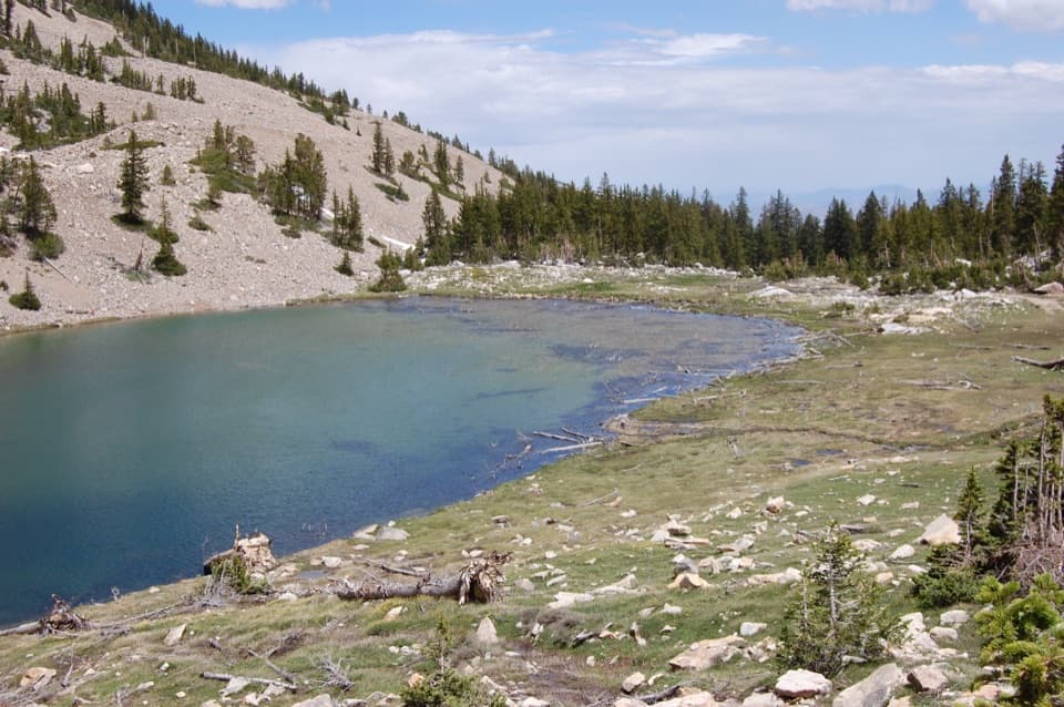 ChallengingJohnson Lake Trail via Snake Creek8 mi · 6 hr · At the trailheadA steep, high-altitude climb to an alpine lake and mine ruins.
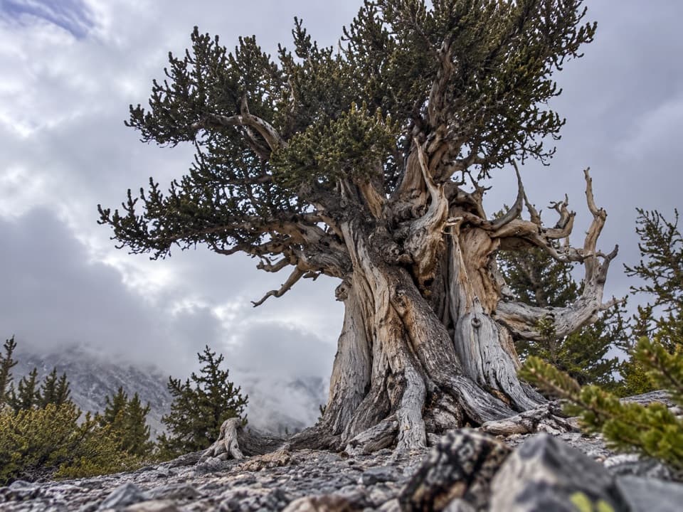 ChallengingSnake Divide Route13.4 mi · 9.5 hr · At the trailheadAncient bristlecones reward a steep, faintly marked ridge hike.
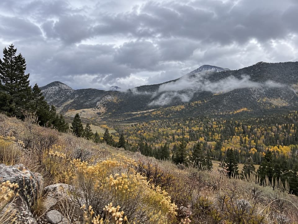 EasySnake Creek Overlook Trail1.4 mi · 1 hr · At the trailheadA short walk leads to a quiet bench above the lower valley.
 EasyShoshone ADA Trail0.2 mi · 15 min · At the trailheadA quick creekside stop with a small accessible fishing platform.
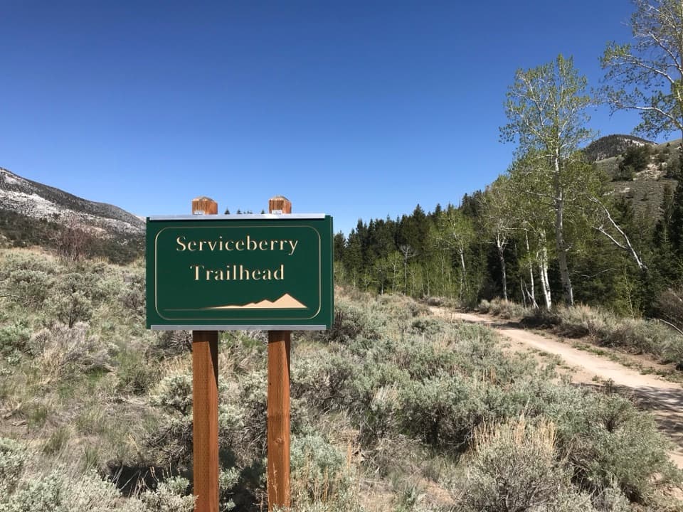 ModerateServiceberry Trail3.2 mi · 2 hr · 0.3 mi awaySwitchback views across open sagebrush toward Eagle and Granite peaks.
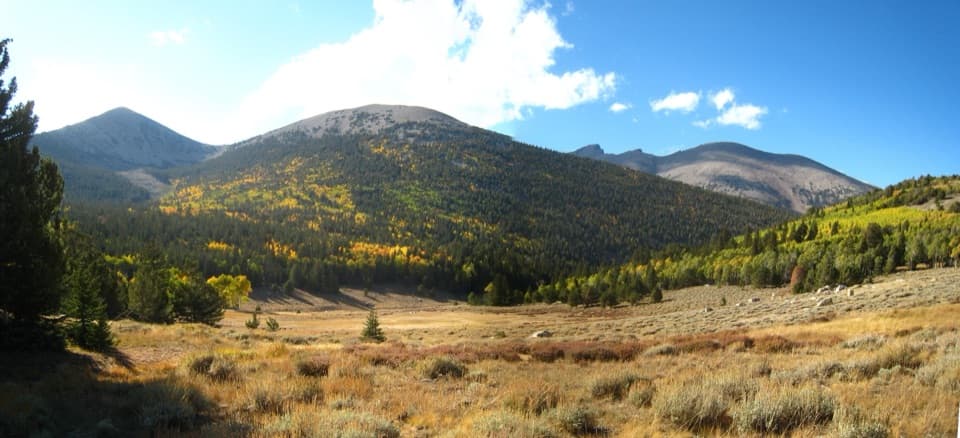 ChallengingTimber Creek Trail5.1 mi · 4.5 hr · 3.5 mi awayClimb through pines to a Pyramid Peak meadow, then loop back.
 ChallengingBaker & Johnson Lakes Loop11.7 mi · 10 hr · 3.5 mi awayTwo high lakes and a century of tungsten mining.ChallengingBaker Lake Trail10.4 mi · 8 hr · 3.5 mi awayA high alpine lake at the end of a full-day climb.
 Sight · 2 mi awayJohnson Lake Mine Historic DistrictA tough climb into the story of a remote tungsten mine.
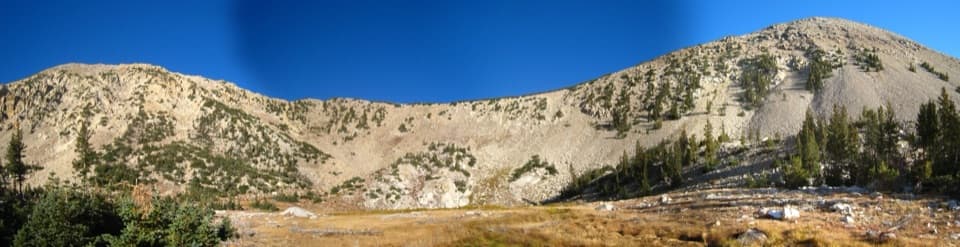 Sight · 2.8 mi awayJohnson LakeA high alpine lake with a long climb and mine cabins nearby.Sight · 3.8 mi awayBaker LakeA high cirque lake at the end of a strenuous full-day climb.
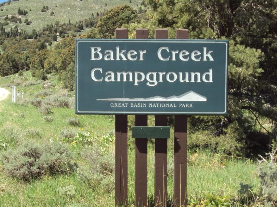 Campground · 4.1 mi awayBaker Creek CampgroundA quiet base for Baker Lakes trails and dark-sky nights.
 Campground · 4.7 mi awayGrey Cliffs CampgroundA 16-site tent campground beside limestone cliffs; bring your own water.
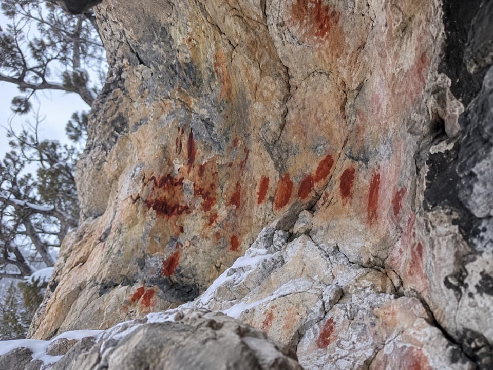 Sight · 4.8 mi awayUpper Pictograph CaveRed pictographs worth a look from outside the shelter.
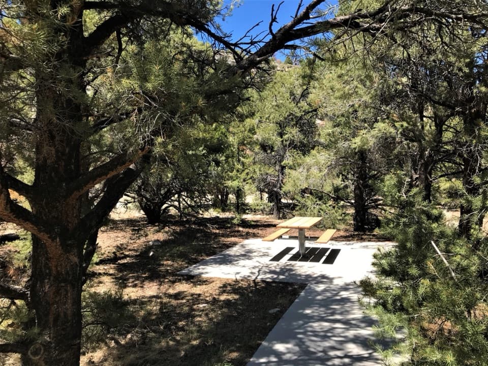 Picnic area · 4.9 mi awayPole Canyon Trailhead Picnic AreaTake a shaded break at accessible tables with charcoal grills.
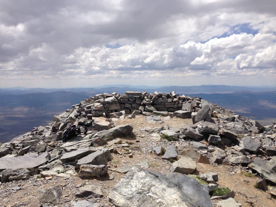 Sight · 5.3 mi awayWheeler PeakLong, exposed climb to Nevada’s second-highest summit.
Parkwolf’s Great Basin ranking

The audio tour guide for the drive, plus offline maps, trails, and wildlife heatmaps for when the signal drops.