Haggarts–Allardyce Tracks in Great Otway National Park

Great Otway National Park, VIC

Haggarts–Allardyce Tracks

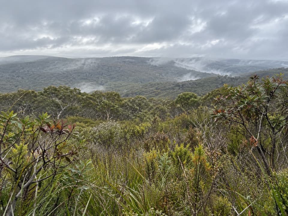
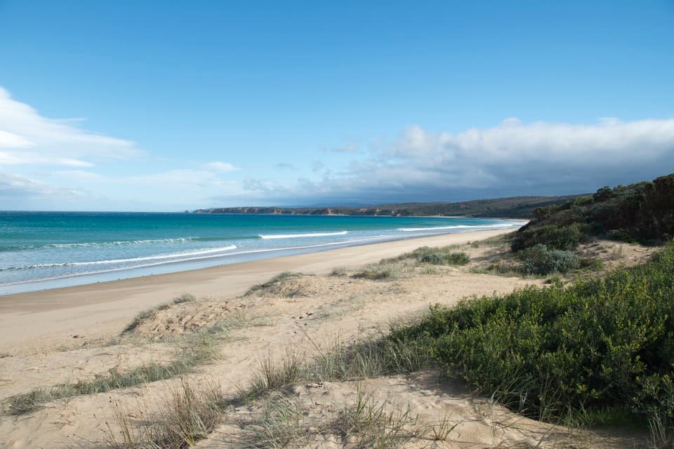
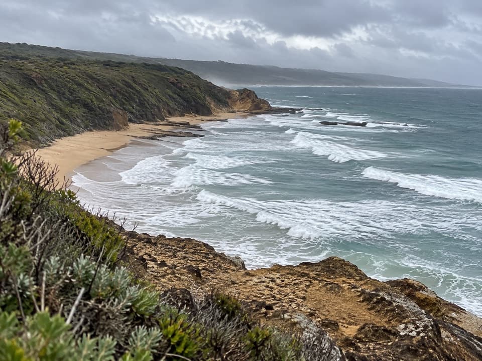
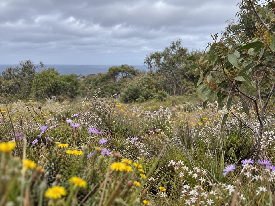
A heathland through-walk with ocean views and unusual Otways wildflowers.

Length
7km
Time
2.5hr
Elev. change
148m
Difficulty
Moderate
  • No dogs
  • High point 194 m

Hear the audio tour

Haggarts and Allardyce: Across the Heath

Overview

About Haggarts–Allardyce Tracks

Why go

  • Open heathland views toward Anglesea and the ocean.
  • A strong botanical mix, including local Juniper Wattle and Anglesea Grevillea.

Heads up

  • The point-to-point route needs a car shuttle.
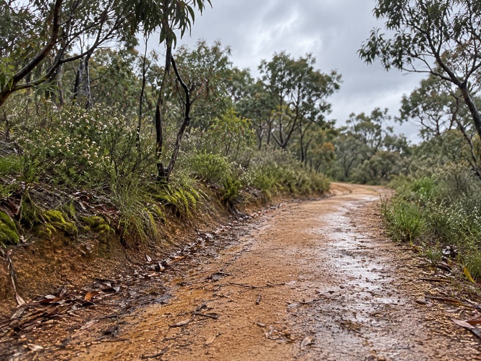
  • The Allardyce section can be eroded and is seasonally open to traffic.

Map & elevation

The route

Loading the Great Otway map
Full map
Elevation46–194 m
TrailheadGum Flat Road at Haggarts Track-38.36230, 144.10940
Keep this map with you offline in the Parkwolf app

Plan your hike

Before you go

Parking

Use the Gum Flat Road accesses at both ends: leave a pickup car near Allardyce Track, then drive 4.1 km farther along Gum Flat Road to park near Haggarts Track. The route directions describe roadside parking; no formal lot capacity or fee was found.

Safety

Allardyce Track is seasonally open to traffic and can be badly eroded; watch your footing and stay alert for authorized vehicles.

3 active Great Otway alerts

  • ClosureWye Road closed after storm and flood damageWye Road is closed until further notice because recent storm and flood damage requires road maintenance and repair works; plan around the closure.Official details
  • ClosureLorne-area walking trails closed after flood damageSome walking trails near Lorne are closed for public safety after the January 2026 flash floods washed away or severely damaged bridges and walkways.Official details
See all 3 alerts
A park ranger sits on a dash-mounted phone, talking, as Parkwolf’s Tour Guide plays “Army Cutworm Moths: A Grizzly Bear Buffet” on Grand Loop Road below Dunraven Pass in Yellowstone
Parkwolf Tour GuideThe highest, rockiest slopes around here are a summer buffet for grizzly bears.

Great Otway Tour Guide

Your drive to Haggarts–Allardyce Tracks, narrated.

Parkwolf is a GPS audio tour guide for Great Otway National Park. As you drive, it chimes in with what’s ahead: hidden gems, upcoming stops, history, geology, and wildlife, right through your car’s speakers.

See the Great Otway audio tour

Recorded for this trailhead

Haggarts and Allardyce: Across the Heath
0:00 / 0:27
“You're approaching the Gum Flat Road start for the Haggarts and Allardyce walk. Allow two to three hours for this seven-kilometre one-way route, with a car shuttle arranged between its two roadside access points.”

Plays as you drive up to this trailhead in the Parkwolf Great Otway Tour Guide.

More stories near here in the app

  • The Spider That Eats Its Web
  • Why Clean Boots Matter in the Heath
  • A Seaweed Two Cells Thick
  • The Gum in the Ironbark
  • 252 audio storiesacross Great Otway’s roads, triggered by GPS as you drive
  • Wildlife heatmapsfor Koala, Grey Kangaroo, Echidna, and 13 more
  • Works offlinemaps, 83 trails, 79 places, and audio download before you lose signal
  • CarPlay readysimple controls built for the drive
★★★★★
“Fantastic app with many points of information… It’s great to just turn on while you’re driving and it gives you an audio tour of the national Park. We love it!!!!”
JMJamesApp Store review
Download Parkwolf on the App StoreGet Parkwolf on Google Play

4.7 from 8,600+ ratings

Trail guide

Hiking Haggarts–Allardyce Tracks

A one-way walk, not a loopHaggarts–Allardyce Tracks is a moderate through-walk of about 7 km from Gum Flat Road near…

Haggarts–Allardyce Tracks is a moderate through-walk of about 7 km from Gum Flat Road near Haggarts Track to the Allardyce Track access farther along the same road. Allow two to three hours and plan a car shuttle; this is a point-to-point route, not a circuit back to your starting car. The local walk directions suggest leaving a pickup car near Allardyce Track, then driving another 4.1 km along Gum Flat Road to the Haggarts start.

Open heath and sea viewsThe Haggarts end begins in heathy woodland, with brown stringybark, shining peppermint and…

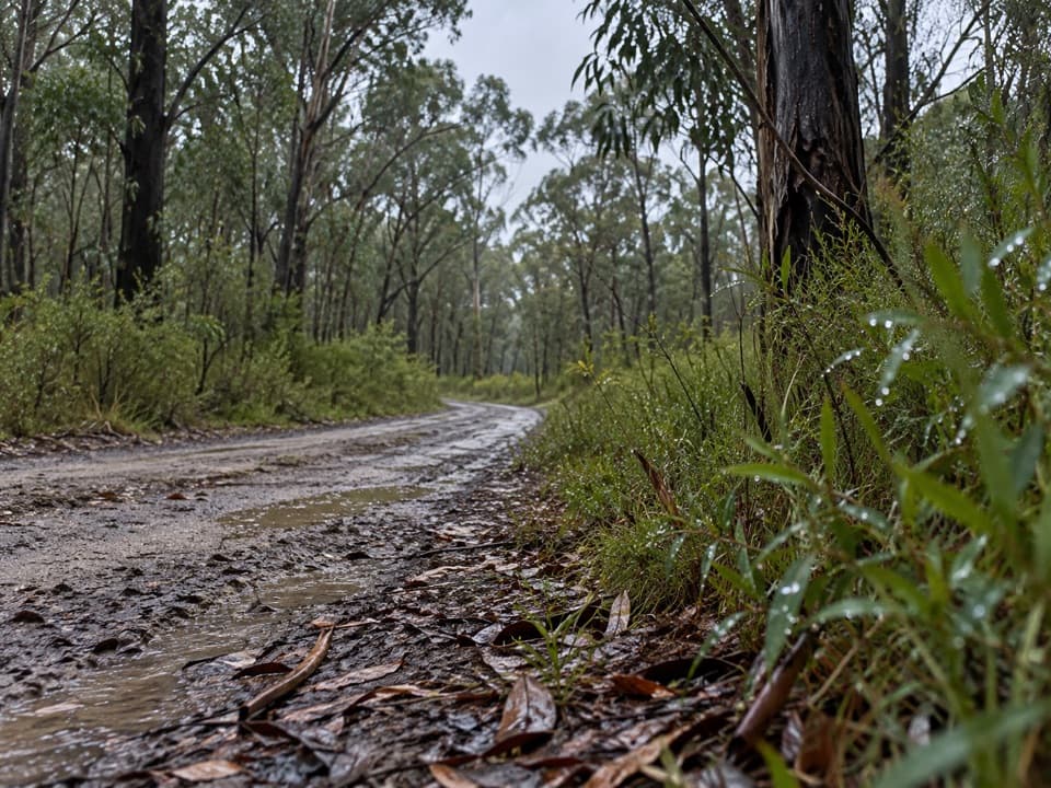
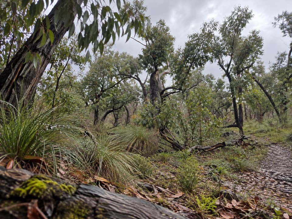
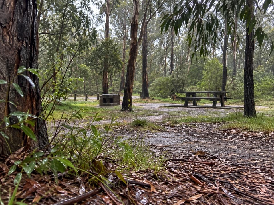
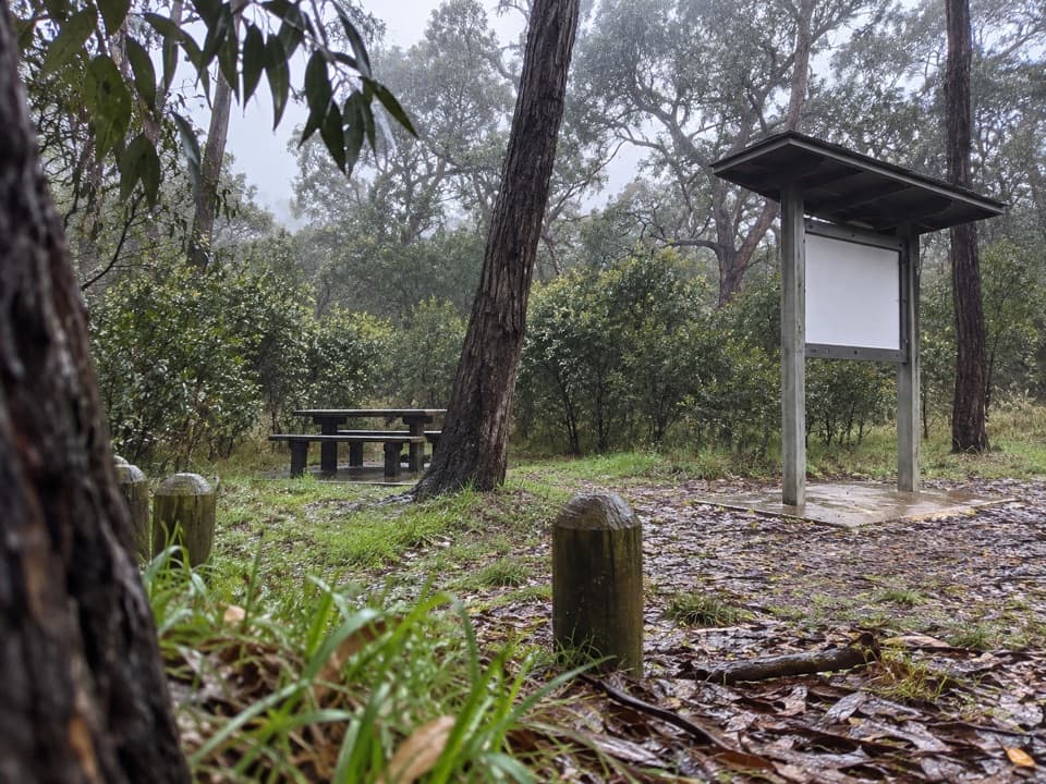
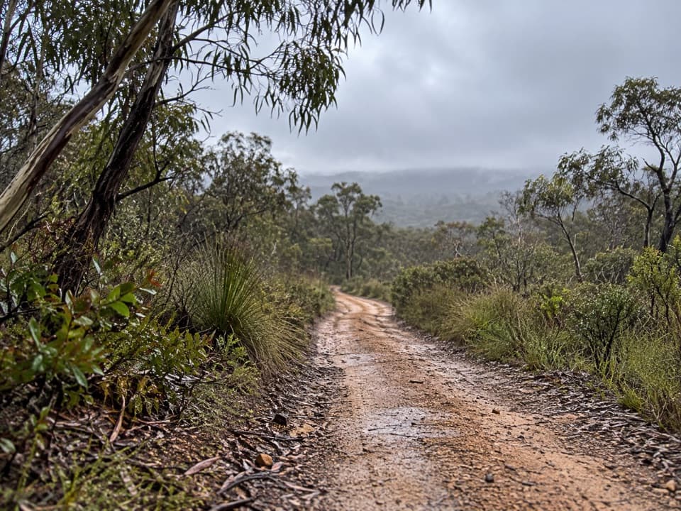
The Haggarts end begins in heathy woodland, with brown stringybark, shining peppermint and scent-bark over grass-trees, ferns and silver banksias. As the trees thin, the walk opens to broad heathland views toward Anglesea and the ocean. Spring brings a burst of small native flowers through the understorey.

Where the ground stays dampA denser, wetter stretch follows in the Anglesea River system.

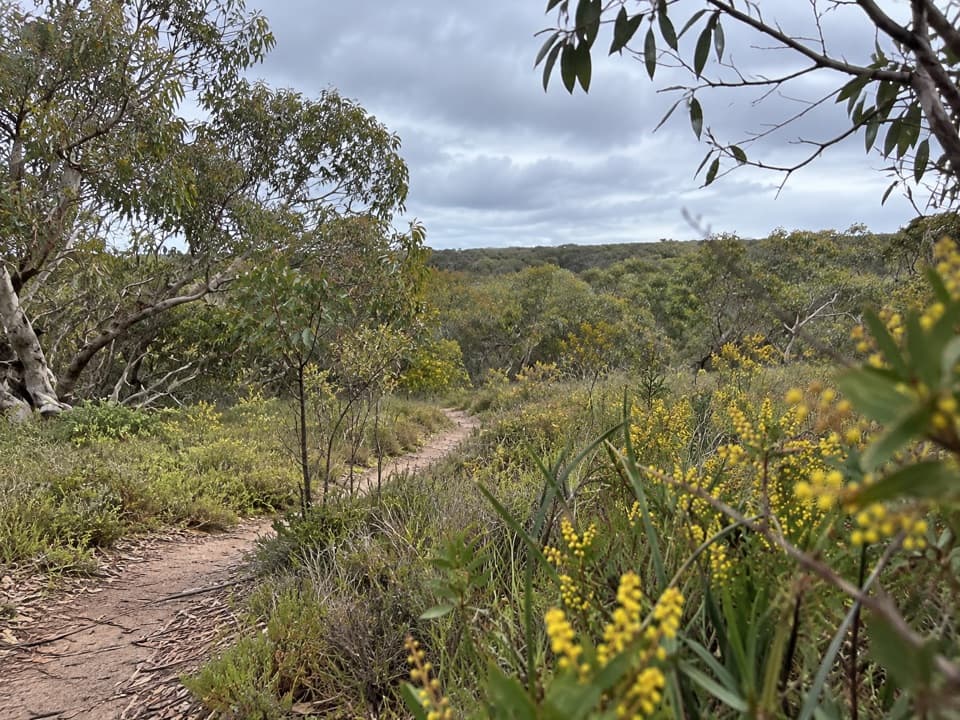
A denser, wetter stretch follows in the Anglesea River system. Manuka and prickly tea-tree crowd the track edges, with juniper wattle among the swamp plants; this uncommon shrub flowers in winter. The route rolls down, climbs through woodland, then drops again. Anglesea grevillea, an endemic local plant, is noted along the track and flowers in spring and summer.

Down through AllardyceThe last stretch passes scented paperbark, whose lemon-yellow bottlebrush flowers appear in…

The last stretch passes scented paperbark, whose lemon-yellow bottlebrush flowers appear in spring and summer, then taller eucalypt woodland. Autumn wasp-orchid leaves may be found near Gum Flat Road in autumn. Parts of Allardyce Track are rough and eroded, and the track is seasonally open to traffic, so keep an eye out for vehicles and watch your footing.

Wildlife

Wildlife in Great Otway

All Great Otway wildlife maps

Sighting maps show where each species has been reported across Great Otway. Wildlife moves, so no sighting is guaranteed.

Keep exploring

Near Haggarts–Allardyce Tracks

See it all on the map

Trails that start nearby

Places near the trailhead

Parkwolf’s Great Otway ranking

Top-rated trails in Great Otway

All 83 trails
  1. 1Great Ocean WalkChallenging · 100 km
  2. 2Maits Rest Rainforest WalkEasy · 0.8 km
  3. 3Triplet Falls WalkModerate · 1.8 km
  4. 4Hopetoun Falls WalkModerate · 0.8 km
  5. 5Madsen’s Track Nature WalkModerate · 1.4 km
  6. 6Lake Elizabeth Loop WalkEasy · 4.7 km

Take Parkwolf to Great Otway.

The audio tour guide for the drive, plus offline maps, trails, and wildlife heatmaps for when the signal drops.

4.7 from 8,600+ ratings

Download Parkwolf on the App StoreGet Parkwolf on Google Play