
All Great Otway trails
83 trails
 1Great Ocean WalkA full coastal crossing from Otway forest to the Twelve Apostles.
 2Maits Rest Rainforest WalkA brief 800-metre loop through giant beech and tree ferns.
 3Triplet Falls WalkRaised platforms reveal three cascades in mountain ash rainforest.
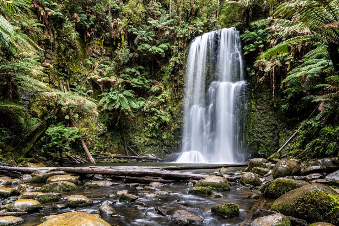
 4Hopetoun Falls WalkTwo hundred steps through tree ferns to a 30-metre waterfall.
 5Madsen’s Track Nature WalkA ferny rainforest circuit past Anne’s Cascades and the Big Tree.
 6Lake Elizabeth Loop WalkDrowned tree trunks turn this lake loop into something eerie.
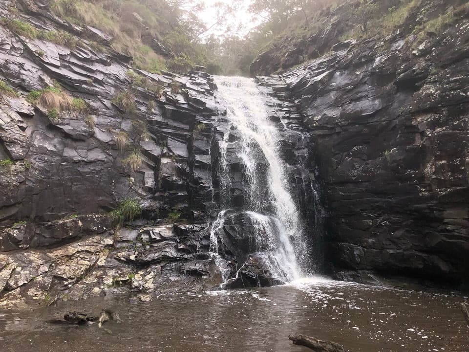 7Sheoak Falls and Swallow Cave WalkSteep creek steps lead to Sheoak Falls and Swallow Cave.
 8Surf Coast WalkTrace surf breaks, heath and dunes on a 41 km coastal traverse.9Lake Elizabeth WalkA short river walk to a lake made by a landslide.
 10Phantom Falls and The Canyon CircuitThree waterfalls, fern forest and a ten-metre rock cleft.
 11Lower and Upper Kalimna Falls WalkA ferny falls loop with an old tramway on the return.
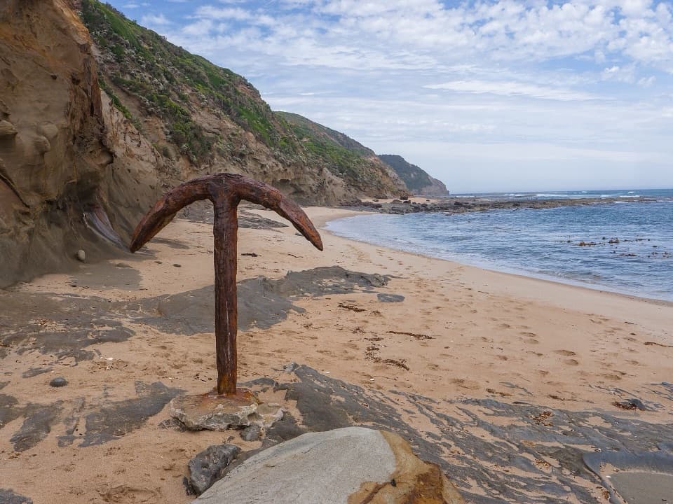 12Wreck Beach WalkHundreds of steps to two shipwreck anchors on a wild coastal beach.13Lower Kalimna Falls WalkA modest waterfall with a view from behind the falling water
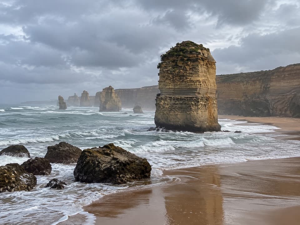 14Princetown to the Twelve ApostlesFinish on the cliffs above the Twelve Apostles.
 15Allenvale to Phantom Falls WalkA short climb ends at a rain-fed cascade above the river.
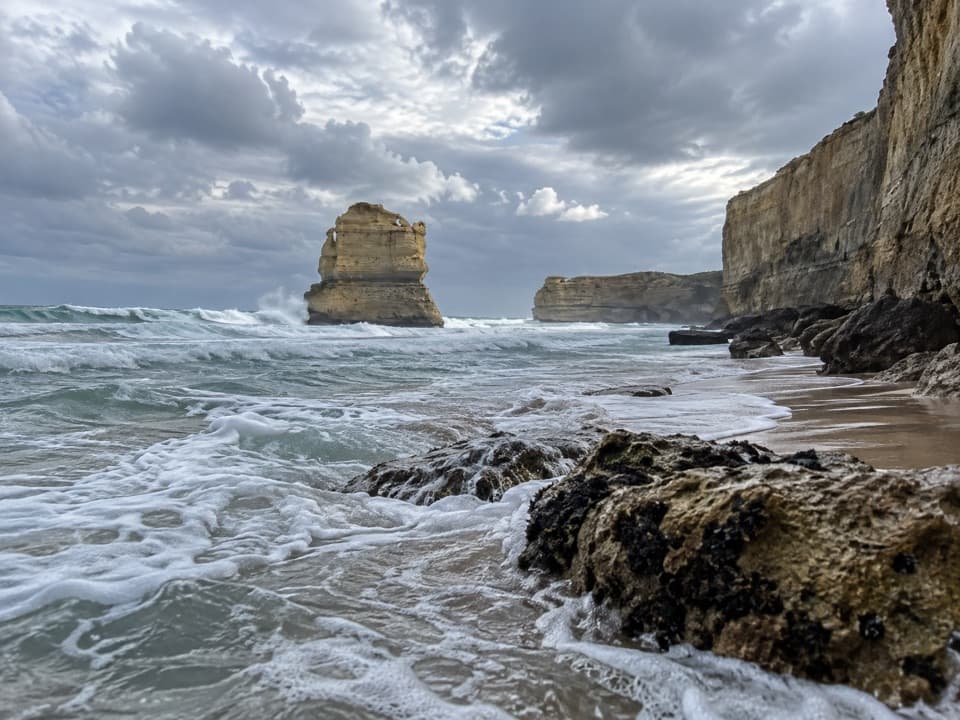 16Devil's Kitchen to Twelve ApostlesSixteen coastal kilometres to the Twelve Apostles, with a sandy finish
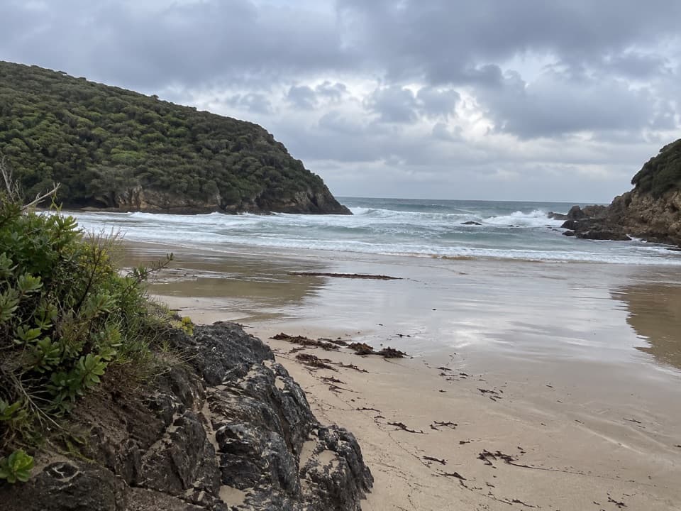 17Great Ocean Walk: Blanket Bay to Cape OtwayAn 11 km one-way coastal stage from Blanket Bay to Cape Otway.
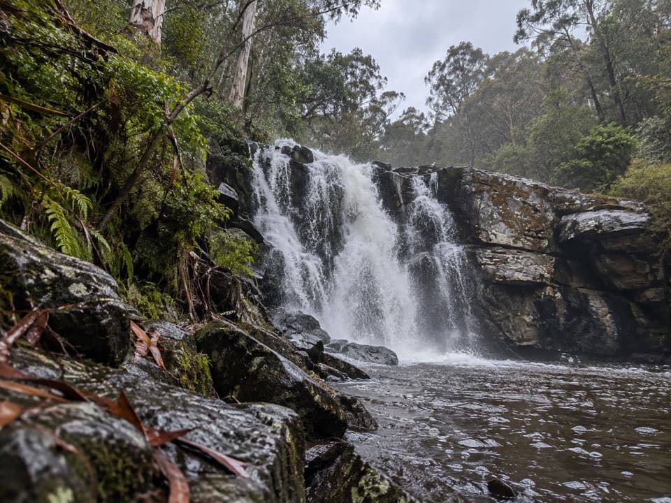 18Little Aire Falls WalkA rainforest hike to a high platform above the falls.
 19Point Addis and Bells Beach LoopFrom forest to Bells Beach, finish along sand at low tide
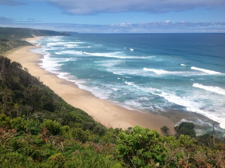 20Aire River to Johanna BeachCliff views, Castle Cove fossils and a beach finish.
 21Sheoak Falls–Castle Rock CircuitA creekside loop links a swallow cave, waterfall and ocean lookout.
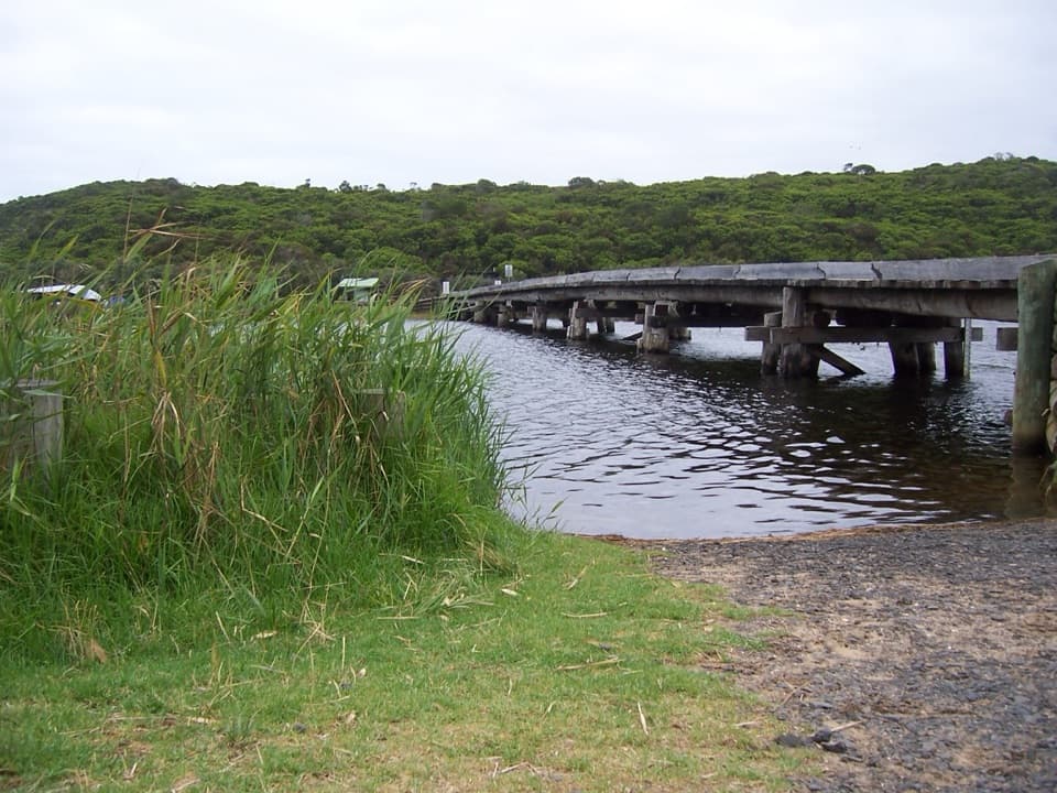 22Cape Otway to Aire RiverCoastal heath, cliff-top views and a river finish
 23Currawong Falls Circuit WalkSplit Point views, a fern gully, and falls that can run dry.
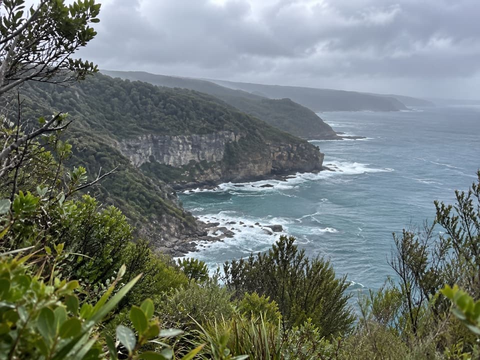 24The Gables Lookout WalkA short sheoak walk to reefs above Moonlight Head.
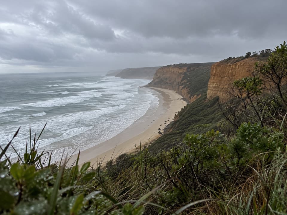 25Koorie Cultural WalkShort interpretive walk to a lookout above Addiscot Beach26Ryan’s Den to Devil’s KitchenRugged Great Ocean Walk stage with cliff views and tide-bound anchors.27Johanna Beach to Ryans DenA long coastal traverse with a river lookout and hike-in finish.
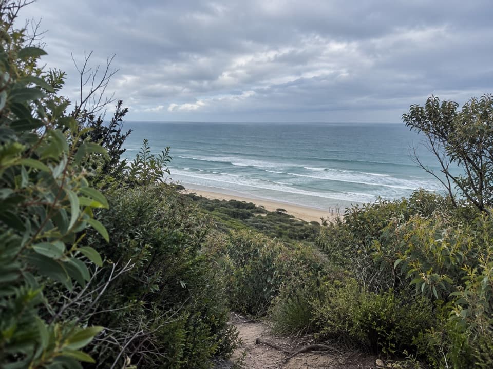 28Moggs Creek Ocean View WalkClimb through grass trees for a full sweep of the coast.
 29Castle Cove to Johanna BeachClifftop heath gives way to Johanna’s tide-dependent beach finish.
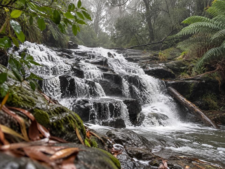 30Cora Lynn Cascades WalkFern shade and stepped shale cascades on a creek walk.
 31Elliot River Circuit WalkRock-hop Elliot River, then climb Elliott Ridge through ferny gullies.
 32Great Ocean Walk: Aire River to Castle CoveRiver-mouth views reward the climb to Castle Cove.
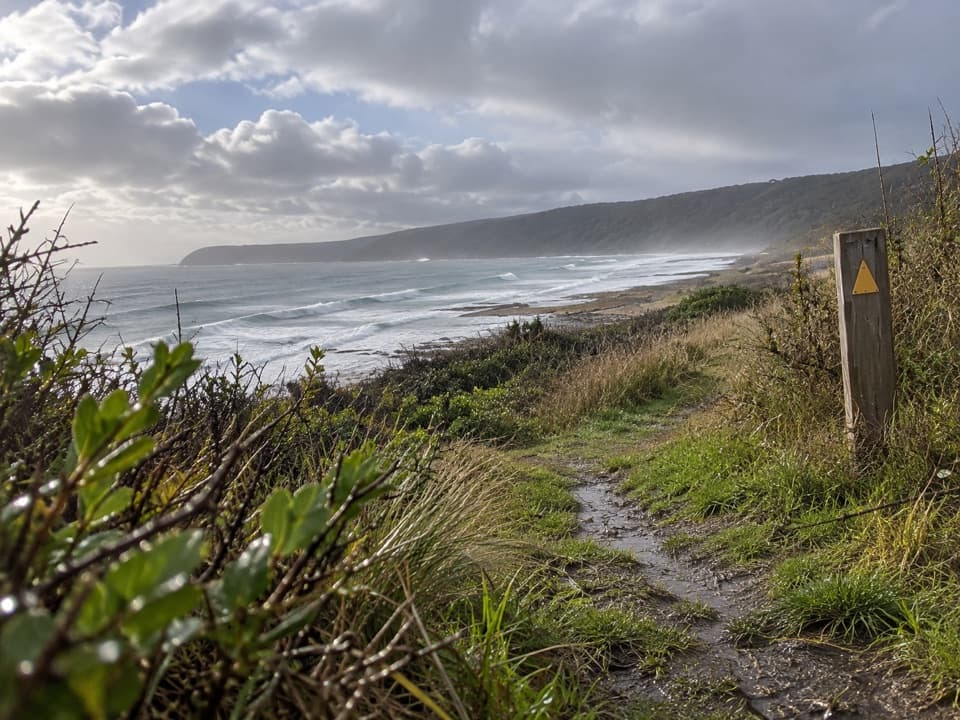 33Marengo to Shelly Beach WalkWalk from Marengo Beacon across beaches and Bald Hill to Shelly Beach.
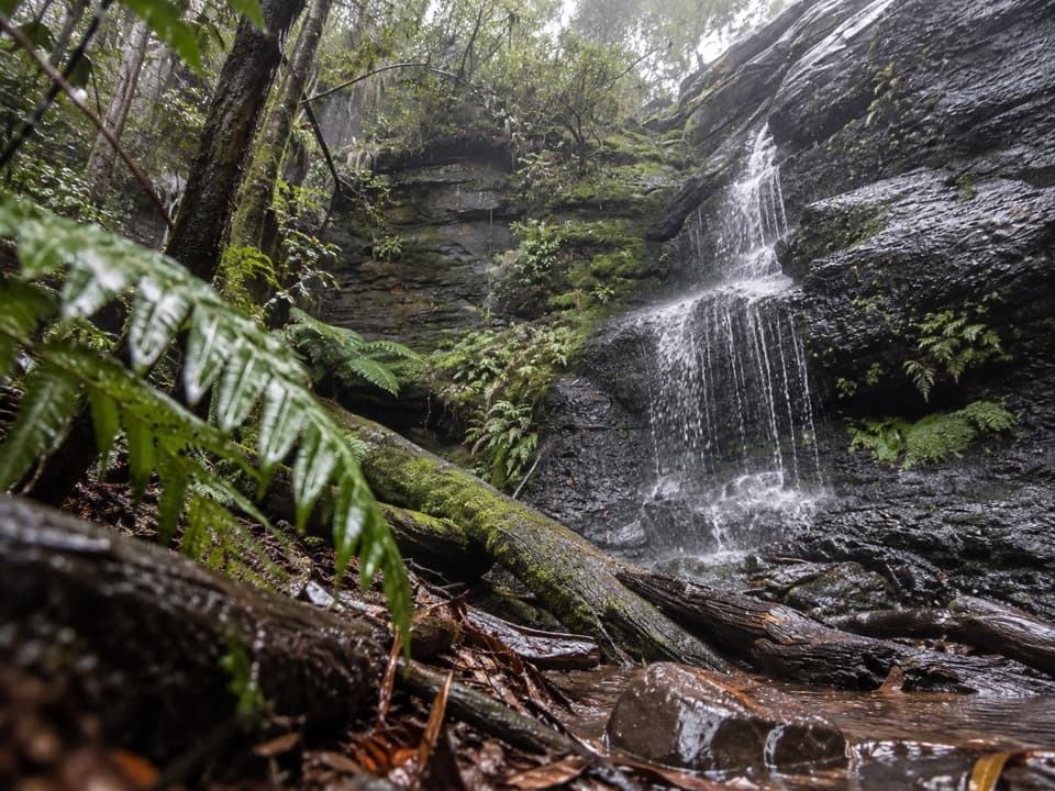 34Won Wondah and Henderson Falls WalkTwo waterfalls, a giant eucalypt, and a fern gully finish
 35Point Franklin and Crayfish Bay WalkA short Point Franklin loop to Crayfish Bay’s grottos and rock pools.
 36Cumberland River–Jebb’s Pool WalkA fern-lined gorge walk ends at a cascade-fed pool.
 37Aire River Escarpment Lookout WalkA short climb from river estuary to ocean views.
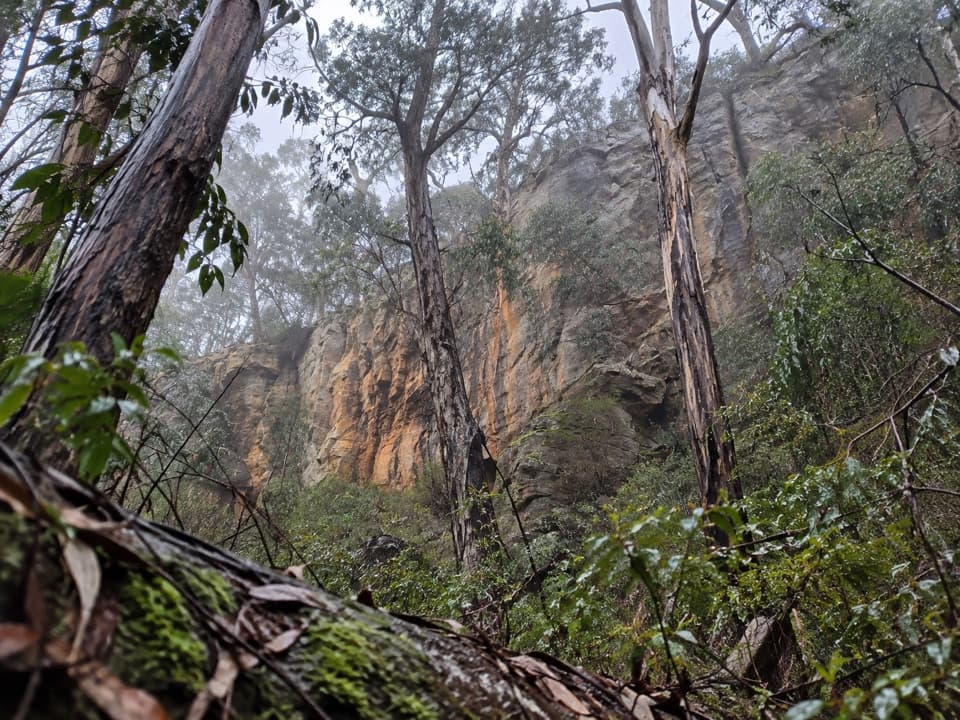 38Ironbark Gorge Circuit WalkA creekside loop of ironbark, ferns and rocky gorge walls.
 39Milanesia Beach to Ryan’s DenA hard coastal walk from Milanesia Beach to Ryan’s Den
 40Carisbrook Falls WalkA short climb opens a distant view of Carisbrook Falls.
 41St Georges River LoopFern-lined riverbanks, a wooded climb and an ocean-facing finish.
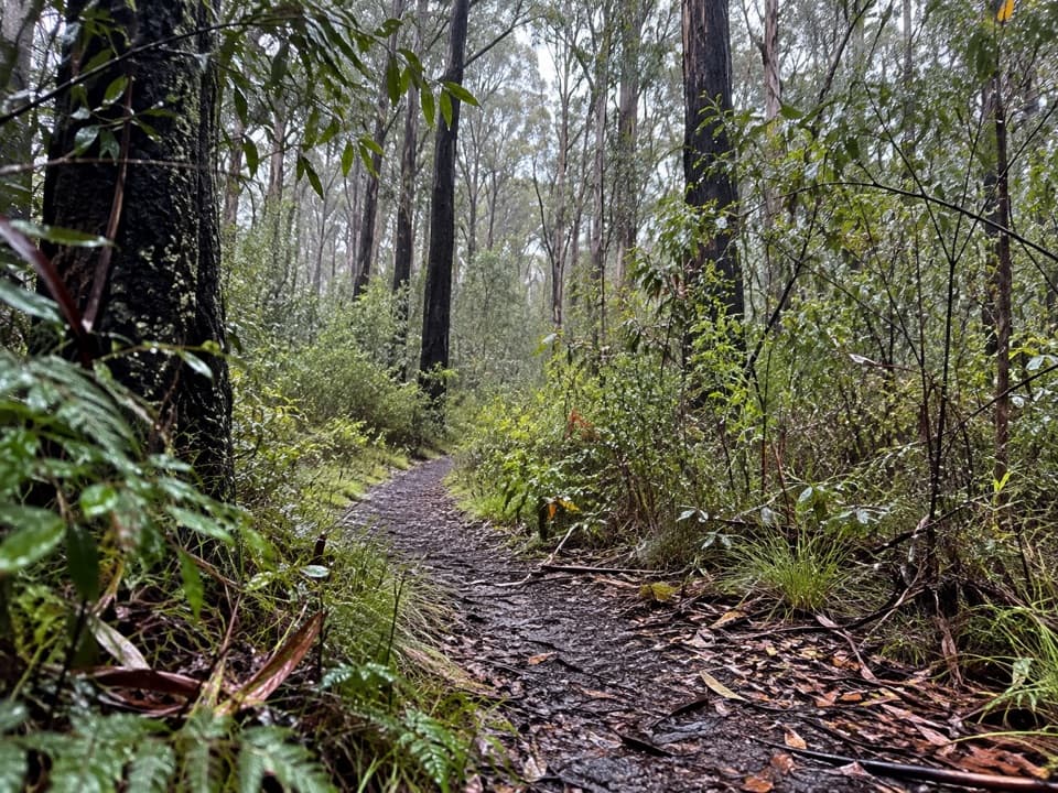 42Distillery Creek Nature TrailA short ironbark loop with trunks still blackened by the 1983 fires.43Lorne Waterfalls: Canyon and Castle Rock CircuitA long waterfall loop with a coastal lookout and ferny canyon.44Milanesia Beach WalkA steep coastal track drops to a quiet beach, then climbs back.
 45Cumberland Falls WalkA forested river walk with crossings and two small cascades.
 46Parker Hill Campground and Stringybark Loop WalkA forest and clifftop circuit above Parker Inlet.
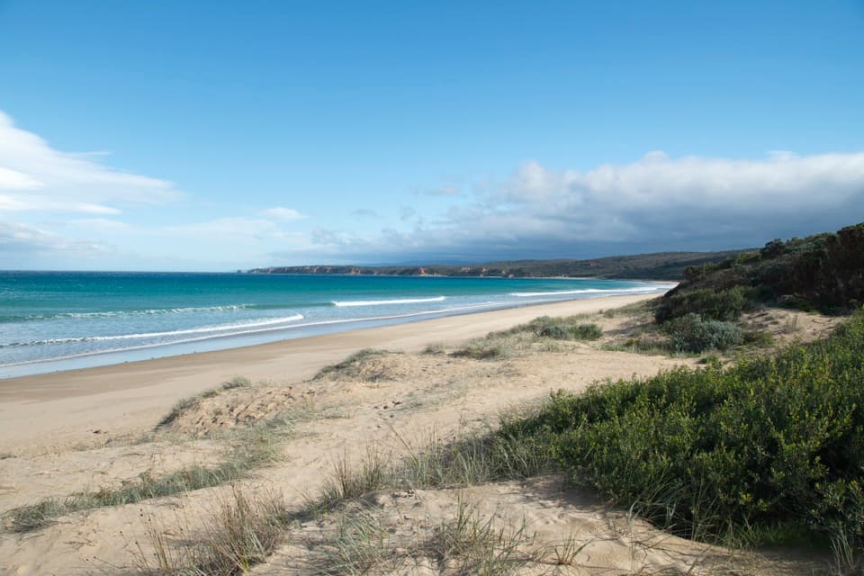 47Anglesea to Aireys Inlet WalkSand, scrub, old-road remnants and a lighthouse make a full coast day.
 48Apollo Bay to Elliot RidgeCoastal beaches, an unbridged river and a ferny camp beneath tall trees.
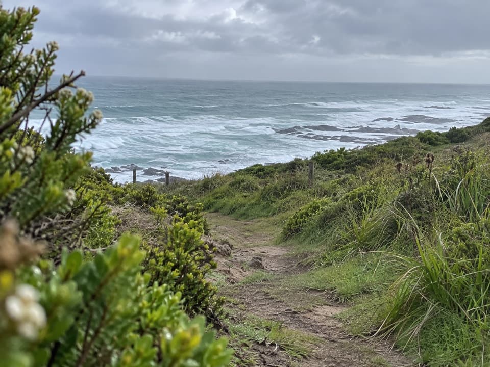 49Marengo to Elliot River CircuitCoastal cliffs, forest, and an Elliot River loop in one long walk.
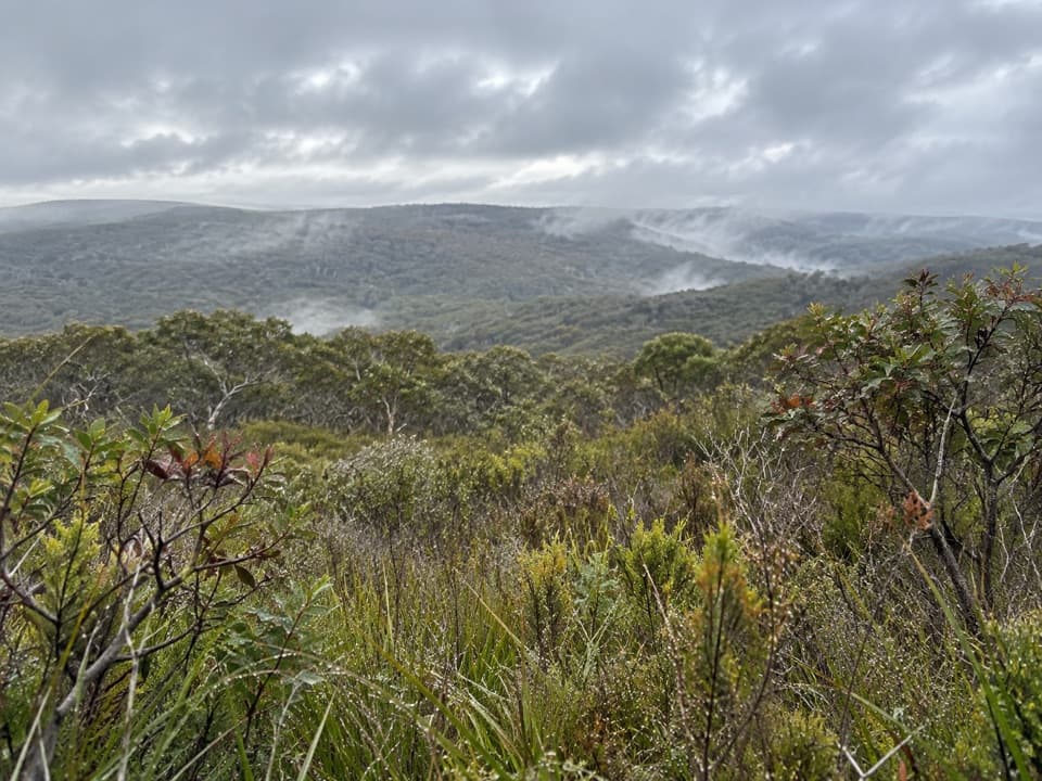 50Yan Wirring Mirr LoopHeath ridges, Salt Creek and coast views on a 4.5 km loop
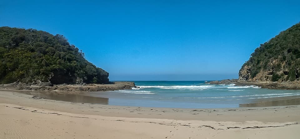 51Blanket Bay to Parker Inlet WalkCoastal bush, an inlet crossing and steep steps to Parker Hill.
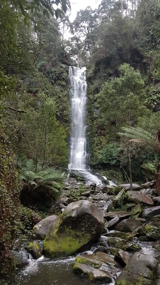 52Erskine Falls Circuit WalkFive waterfalls, repeated creek crossings, and a full Lorne loop.
 53Moggs Creek Circuit WalkA short ferny creek loop with four bridges and a gully view.
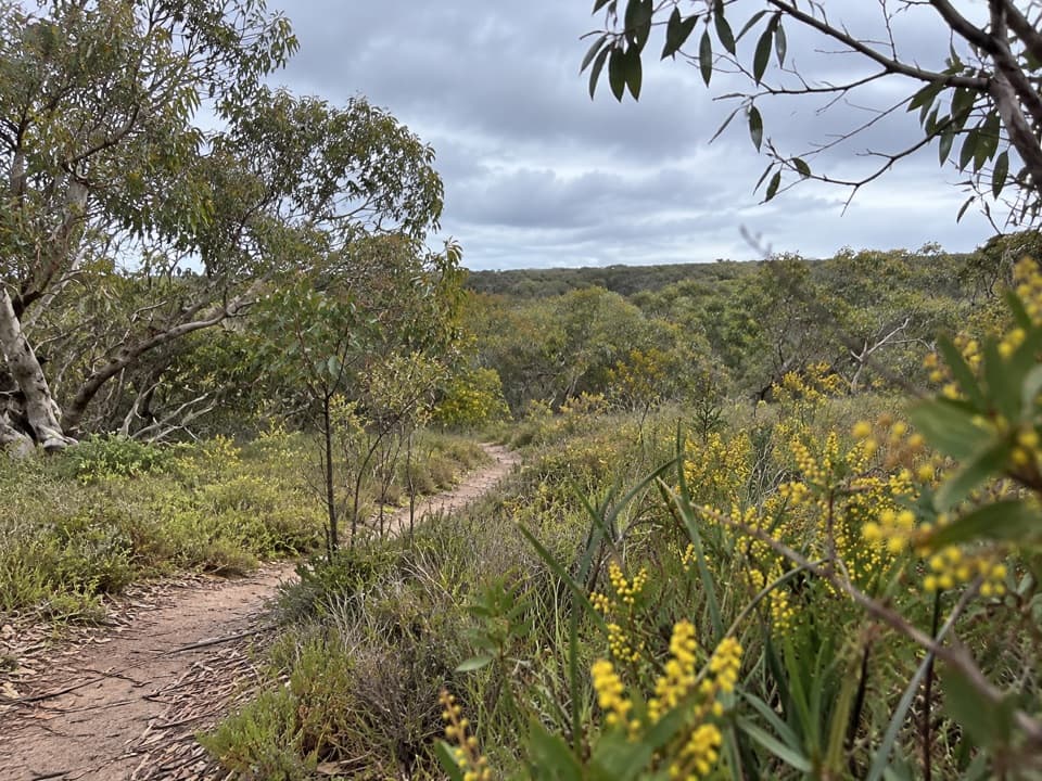 54Anglesea Perimeter WalkA full-day circuit linking heath, wetlands and coast.
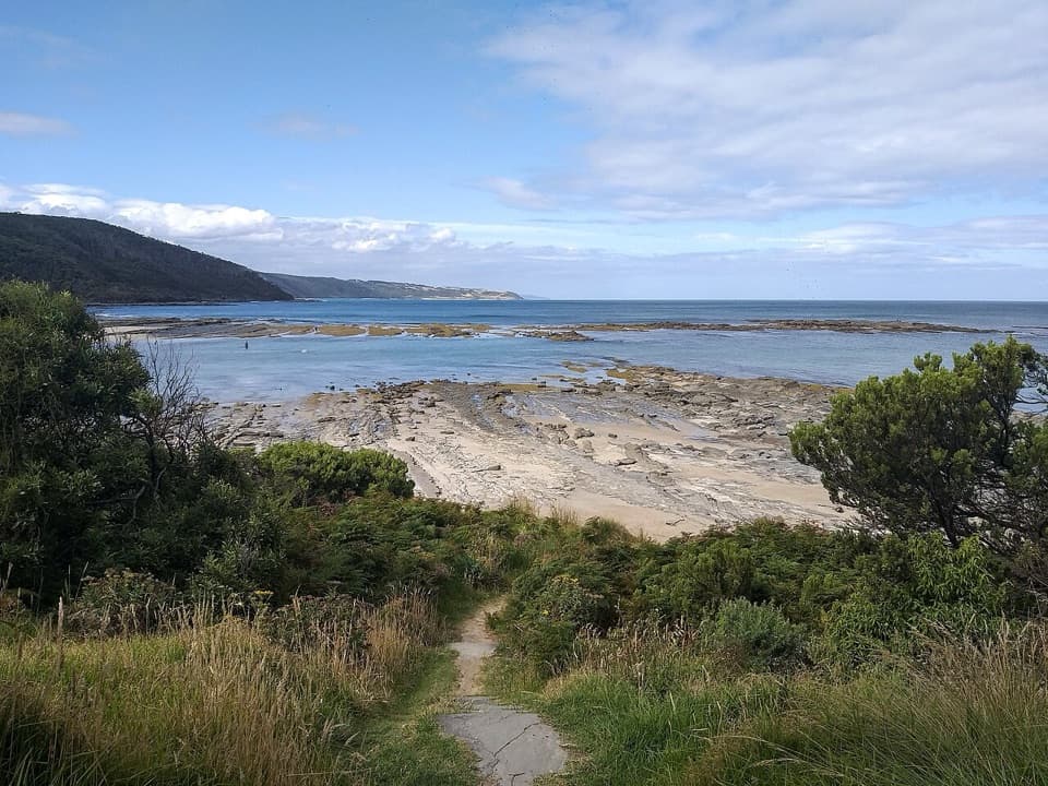 55Elliot Ridge to Blanket BayForest roads lead to a switchback descent and Blanket Bay's shore.56Johanna Beach to Milanesia BeachA hilltop sea view and a remote beach reached on foot.
 57Point Addis to Red Rocks WalkA beach-to-cliff coastal walk from Point Addis to Red Rocks.
 58Red Rocks to Anglesea WalkCliff-top heath and surf, with steps up from Red Rocks.
 59St George River WalkA riverside out-and-back from Allenvale Mill to the Great Ocean Road.
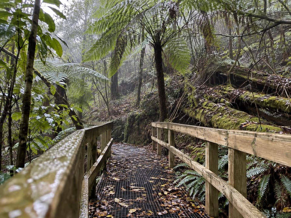 60Lemonade Creek TrackTimber bridges cross fern gullies beneath tall eucalypts.
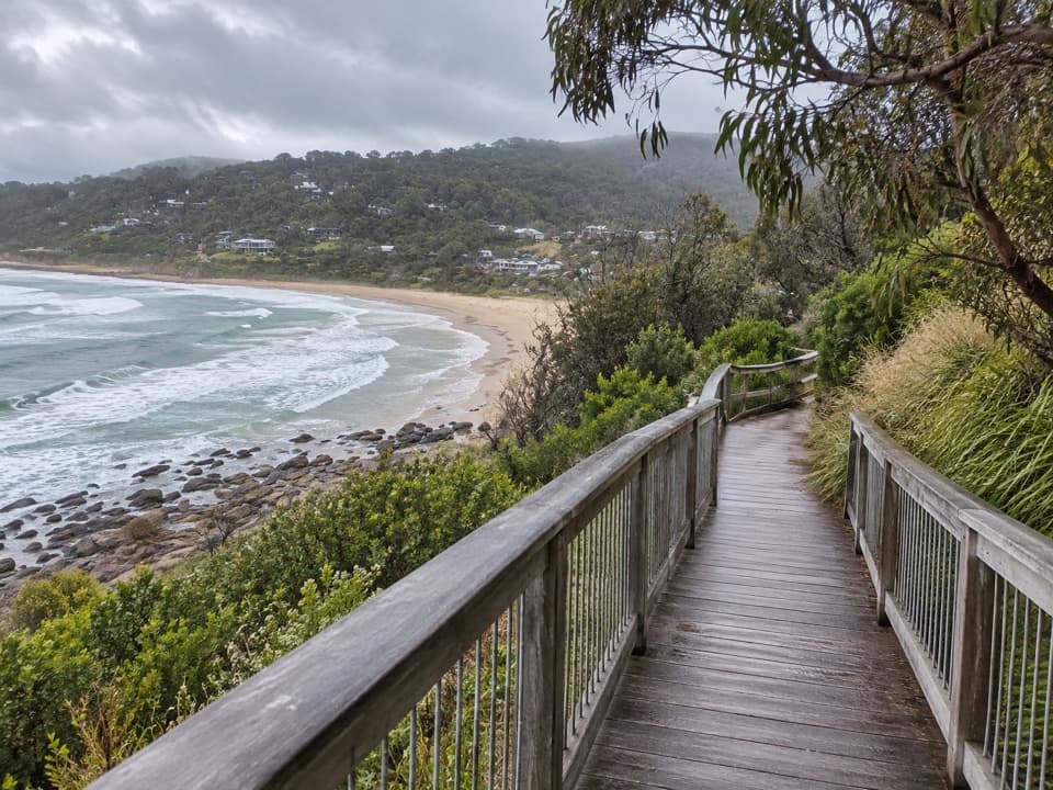 61Paddy’s PathA timber boardwalk looks over Wye Beach from an old tramway line.
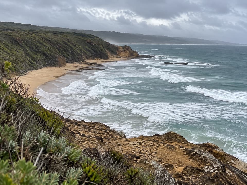 62Urquhart CircuitRock bridges, low-tide beaches, and a boardwalk through coastal heath.
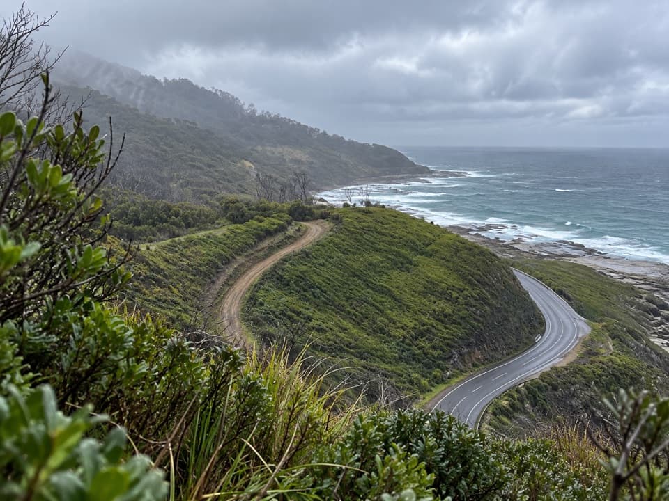 63Wye to Kennett River WalkCoastal views give way to ferny gullies and old mill country.
 64Kennett River Nature WalkAn easy riverbank walk with local wildlife and history to notice.
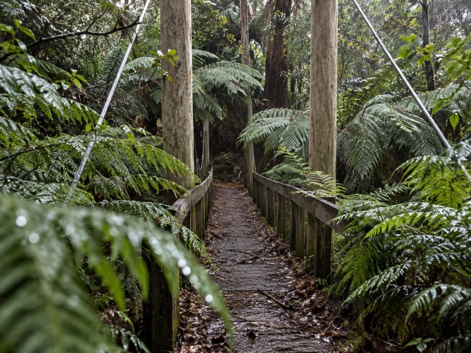 65Sheoak Picnic Ground Nature WalkA fern-gully circuit with a suspension bridge over Sheoak Creek.
 66Mount Defiance–Jamieson Creek CircuitA 22 km ridge circuit with a 4 km road return.
 67Kennett River Glow-Worm WalkA 0.15-mile night walk to a creekside glow-worm grotto.
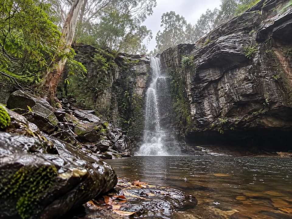 68Phantom Falls Walk: Blanket Leaf to Allenvale MillA hard traverse from Blanket Leaf to Allenvale via Phantom Falls.
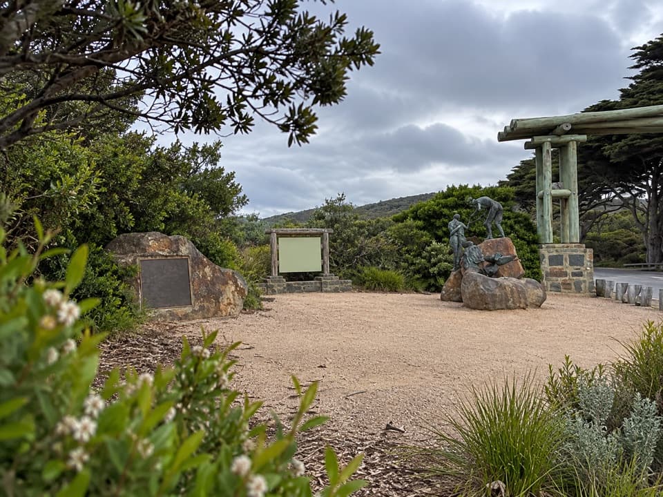 69Aireys Eastern View CircuitA hilly Memorial Arch loop through forest to the coast.
 70Distillery Creek to Painkalac DamAn easy forest walk to the quiet edge of Painkalac Reservoir.
 71Distillery Creek to Moggs Creek WalkClimb above Painkalac Dam on a forest crossing to Moggs Creek.72Parker River Inlet WalkA steep 300-step descent to a river-mouth beach.
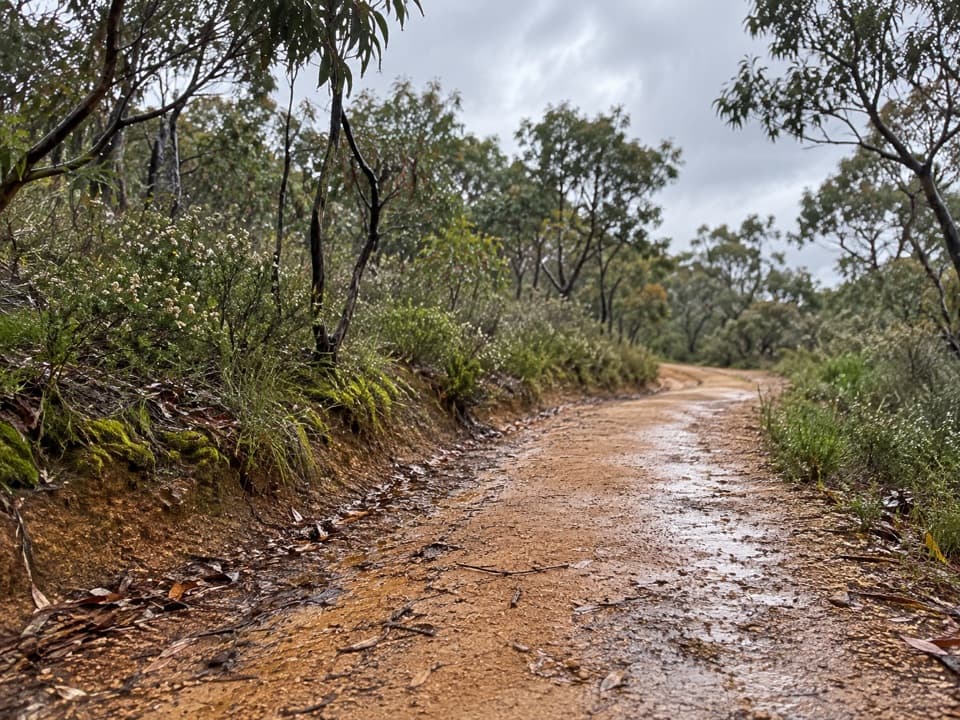 73Shiney Eye CircuitHeathland flowers and Anglesea views, with a steep finish
 74Jamieson Creek to Separation Creek WalkShort climbs trade forest shade for long coastal views.
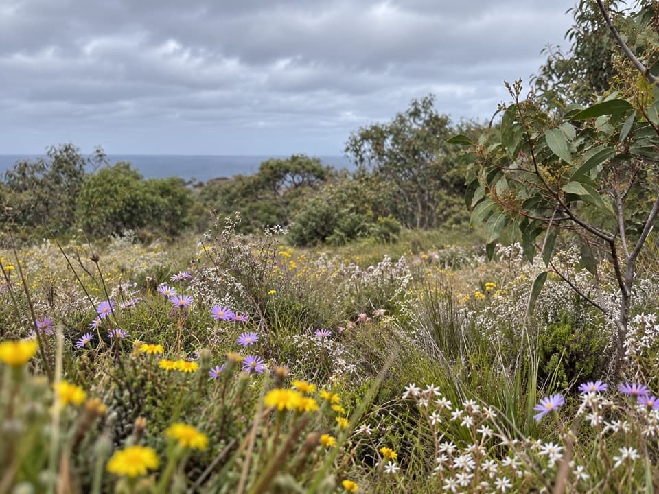 75Springtime Wildflower ExperienceAn easy heathland loop with spring orchids and a coastal outlook.
 76Aireys Inlet Woodland CircuitAn easy loop from fire-scarred ironbarks to a quieter creek.
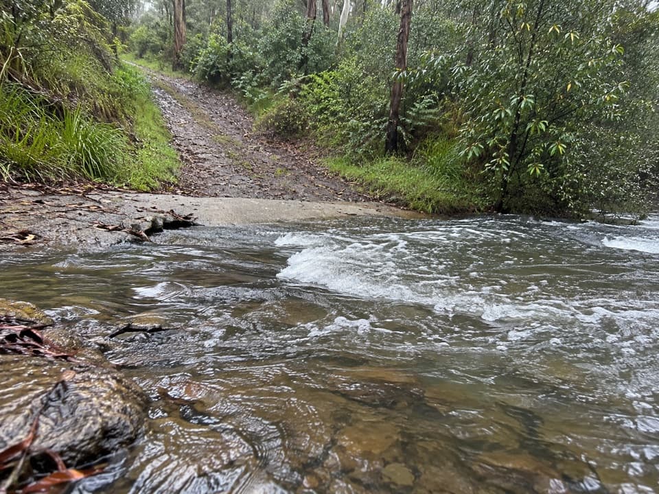 77Five Mile TrackRainforest shade, two river crossings, and a walk out to Lorne.
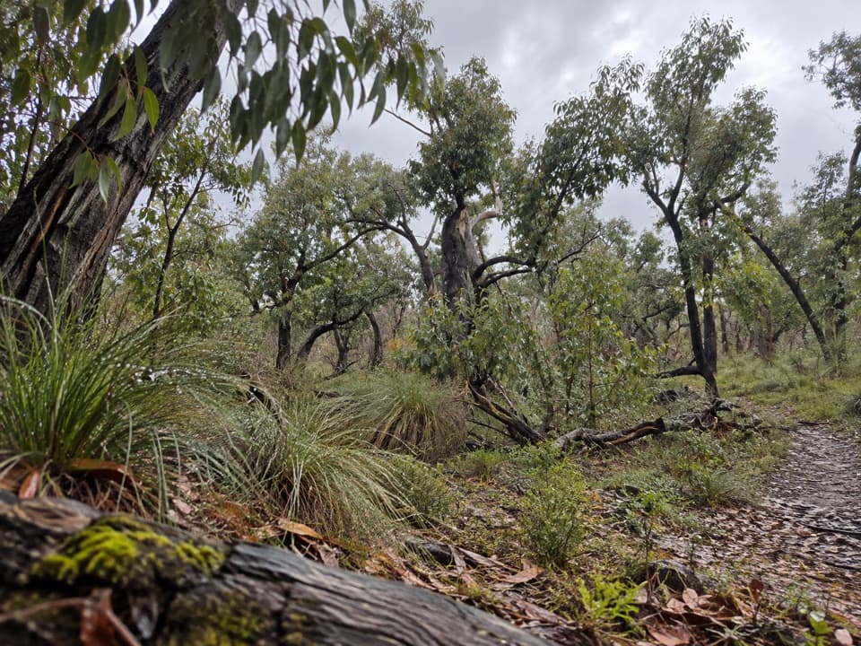 78Distillery Creek – Ted’s Ridge Track CircuitA short woodland loop with coastal views, wattles and orchids.
 79Ted’s Ridge TrackA short heathland walk with a spring orchid payoff.
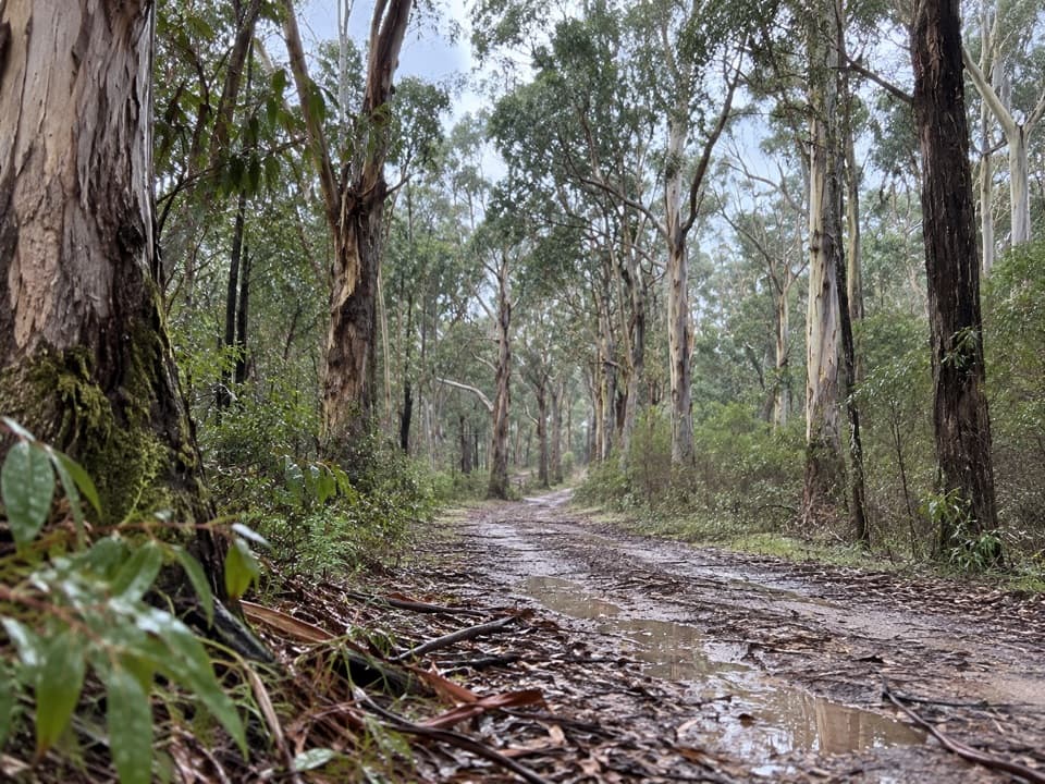 80Moggs Creek – Coalmine Creek WalkA one-way forest walk from Moggs Creek to the Great Ocean Road.
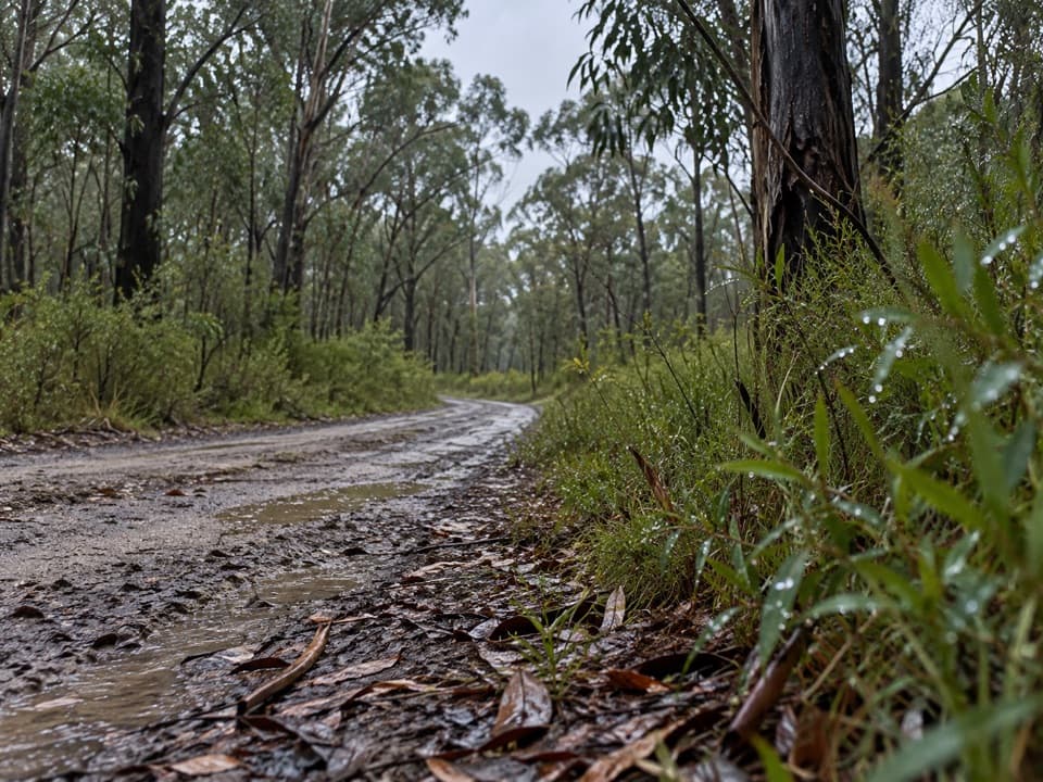 81Loves TrackA stringybark crossing with a Grevillea detour and a lighthouse view.
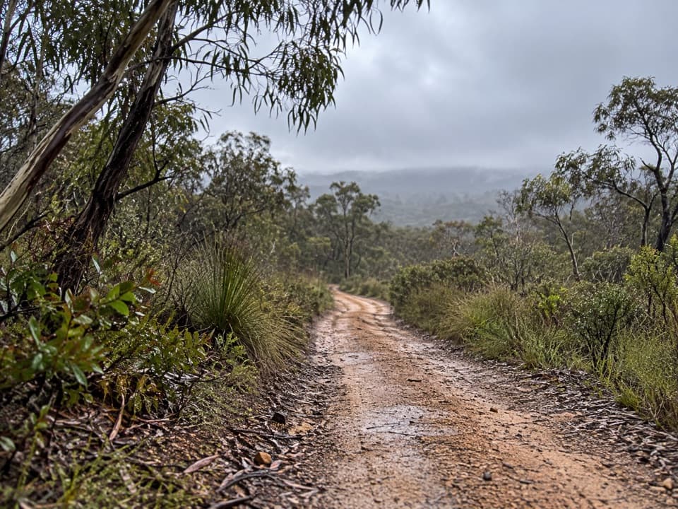 82Haggarts–Allardyce TracksA heathland through-walk with ocean views and unusual Otways wildflowers.
 83Distillery Creek Ephemeral WetlandsA 300 m return to a wetland that comes and goes.

The highest, rockiest slopes around here are a summer buffet for grizzly bears.
Great Otway Tour Guide
Great Otway, narrated.
Parkwolf is a GPS audio tour guide for Great Otway National Park. As you drive, it chimes in with what’s ahead: hidden gems, upcoming stops, history, geology, and wildlife, right through your car’s speakers.
See the Great Otway audio tourRecorded for this place
Cape Otway Lightstation0:00 / 0:36
“You’re approaching Cape Otway Lightstation, where the white lighthouse stands above the meeting of Bass Strait and the Southern Ocean. If maritime history interests you, give the ticketed precinct an hour or two.”
Plays as you drive up to Cape Otway Lightstation in the Parkwolf Great Otway Tour Guide.
More stories near here in the app
- A Daisy That Grows into a Tree
- The Gull That Drops Its Dinner
- Bimbi Park: Camping Among Manna Gums
- Parker Hill and Crayfish Bay: The Coastal Loop
- 252 audio storiesacross Great Otway’s roads, triggered by GPS as you drive
- Wildlife heatmapsfor Koala, Grey Kangaroo, Echidna, and 13 more
- Works offlinemaps, 83 trails, 79 places, and audio download before you lose signal
- CarPlay readysimple controls built for the drive
“Fantastic app with many points of information… It’s great to just turn on while you’re driving and it gives you an audio tour of the national Park. We love it!!!!”

