Parking
Use the Lake Elizabeth Day Visitor Area off Kaanglang Road near Forrest. The campground is separate and about 1 km from the lake.

#9 of 83 trails in Great Otway
Great Otway National Park, VIC
A short river walk to a lake made by a landslide.
Overview
Map & elevation
Plan your hike

The highest, rockiest slopes around here are a summer buffet for grizzly bears.
Great Otway Tour Guide
Parkwolf is a GPS audio tour guide for Great Otway National Park. As you drive, it chimes in with what’s ahead: hidden gems, upcoming stops, history, geology, and wildlife, right through your car’s speakers.
See the Great Otway audio tourRecorded for this trailhead
Lake Elizabeth: The Drowned Forest“You're nearing the Lake Elizabeth day visitor area, where the walk leads to a lake filled with drowned tree trunks. Allow about an hour for the two-kilometre return walk, with a steep section and uneven ground.”
Plays as you drive up to this trailhead in the Parkwolf Great Otway Tour Guide.
More stories near here in the app
“Fantastic app with many points of information… It’s great to just turn on while you’re driving and it gives you an audio tour of the national Park. We love it!!!!”


Trail guide
Lake Elizabeth Walk is a 2 km out-and-back, about one hour return, from the day visitor area to Lake Elizabeth. It follows the East Barwon River through tall forest before opening onto the water. Choose this approach if you want to see the lake without taking on the separate Lake Elizabeth Loop Walk. It is a short hike, but the track rises and dips; it is not a level stroll. Leave time to linger at the lake, especially if you hope to spot wildlife.
The walk begins among tall forest and keeps close to the river for much of the approach. The mapped route reaches the lake's eastern boardwalk; turn around there and retrace the same path. There are short climbs and descents, with uneven ground underfoot, so expect to watch the trail rather than walk it like a smooth riverside promenade. The longer loop is a different outing: it continues around the shoreline and adds more track, so follow its signs only if you mean to extend the walk.
Lake Elizabeth is a young landscape feature. In 1952, heavy rain triggered a landslide that blocked the East Barwon River and flooded a forested valley. The river overtopped the natural dam later that year; heavy rain breached part of it in 1953, leaving a much smaller lake. Pale standing tree trunks are still visible in the water, reminders that this was once a forested valley rather than a lake. The drowned trees and the steep, timbered slopes give the shoreline its distinctive look.
A platypus colony lives at the lake, and dawn or dusk is usually the best time to look. A sighting is never guaranteed, so treat it as a reason to slow down rather than a promise. Keep your distance and tread lightly along the water's edge. The tall forest and river make the approach worthwhile even if the lake stays quiet.
Start at the Lake Elizabeth Day Visitor Area off Kaanglang Road near Forrest. The campground is separate and about 1 km from the lake, so do not use it as a substitute trailhead. Dogs are allowed on lead on the adjoining walking tracks. The terrain is steep in places and snakes are a stated hazard; take care on uneven sections and keep dogs close. For a photograph, frame some of the standing trunks with the water and forest behind them; that shows why this lake looks different from an ordinary bushland pond.
Wildlife
 204 sightingsKoalaMost seen around 6 PMSighting map
 35 sightingsGrey KangarooMost seen around 6 AMSighting map
 109 sightingsEchidnaMost seen around 5 PMSighting map
 58 sightingsKookaburraMost seen around 6 AMSighting map
 97 sightingsSwamp WallabyMost seen around 6 PMSighting map
 20 sightingsBrushtail PossumMost seen around 8 PMSighting map
Sighting maps show where each species has been reported across Great Otway. Wildlife moves, so no sighting is guaranteed.
Keep exploring
EasyLake Elizabeth Loop Walk4.7 km · 1.5 hr · 0.9 km awayDrowned tree trunks turn this lake loop into something eerie. EasyKennett River Glow-Worm Walk0.2 km · 30 min · 13.1 km awayA 0.15-mile night walk to a creekside glow-worm grotto.
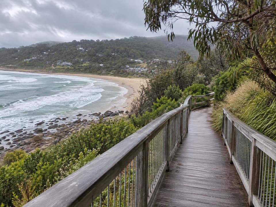 EasyPaddy’s Path0.8 km · 20 min · 15 km awayA timber boardwalk looks over Wye Beach from an old tramway line.
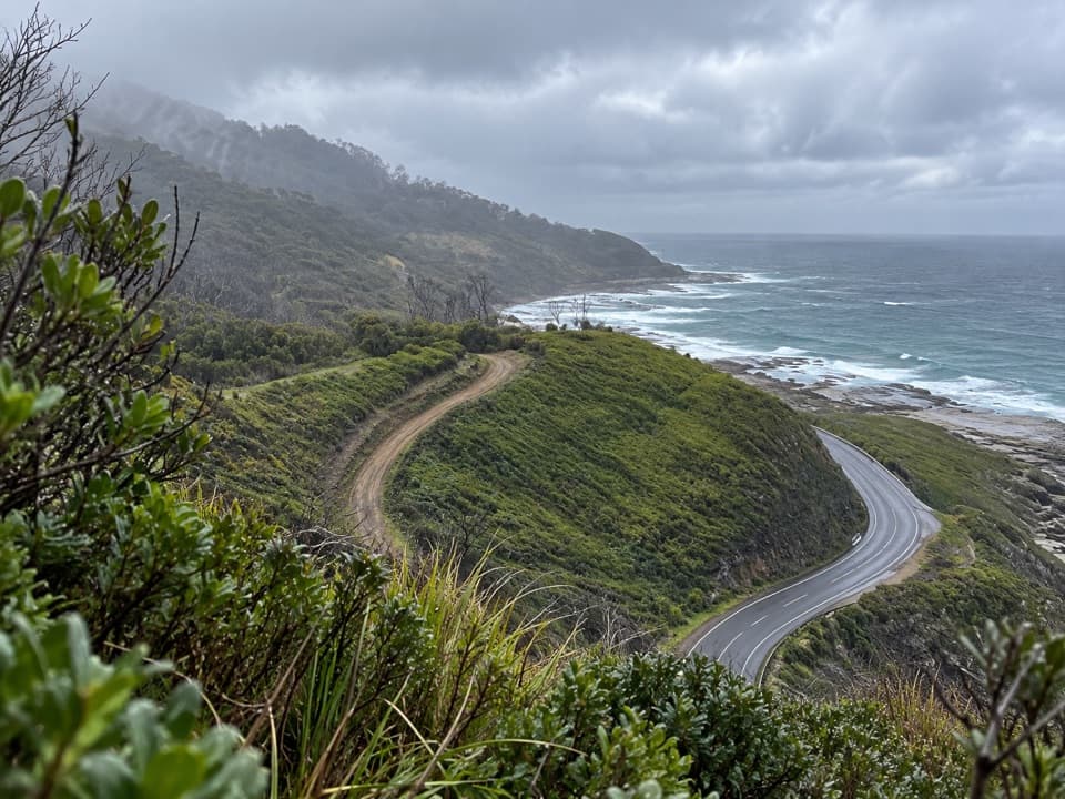 ModerateWye to Kennett River Walk5.5 km · 3 hr · 15.1 km awayCoastal views give way to ferny gullies and old mill country.
 ModerateJamieson Creek to Separation Creek Walk5.3 km · 2.5 hr · 15.2 km awayShort climbs trade forest shade for long coastal views.
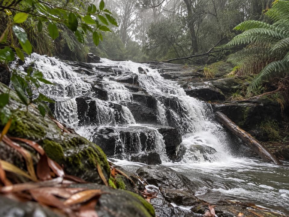 ModerateCora Lynn Cascades Walk4.2 km · 1.8 hr · 15.7 km awayFern shade and stepped shale cascades on a creek walk.
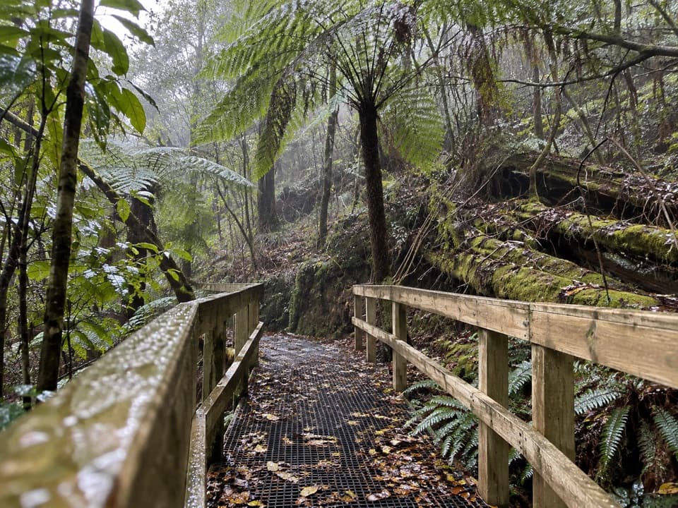 ModerateLemonade Creek Track4 km · 1.8 hr · 15.7 km awayTimber bridges cross fern gullies beneath tall eucalypts.
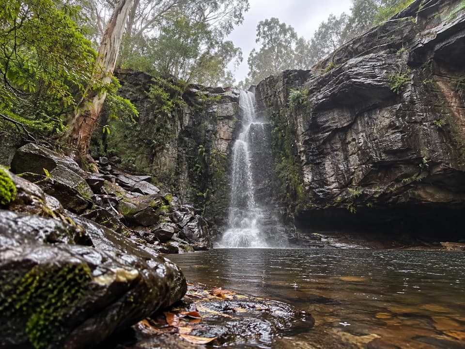 ChallengingPhantom Falls Walk: Blanket Leaf to Allenvale Mill8 km · 3.5 hr · 15.7 km awayA hard traverse from Blanket Leaf to Allenvale via Phantom Falls.Sight · 0.4 km awayLake ElizabethDrowned trees and platypus at dawn, if you wait quietly.
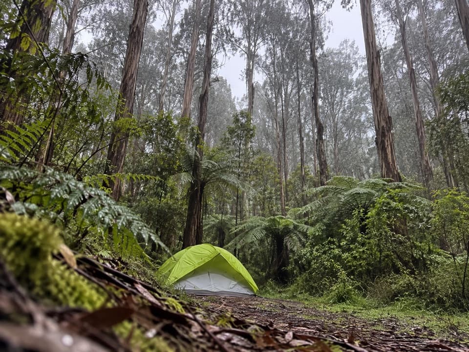 Campground · 1 km awayLake Elizabeth CampgroundForest camping beside the river, with Lake Elizabeth a short walk away.
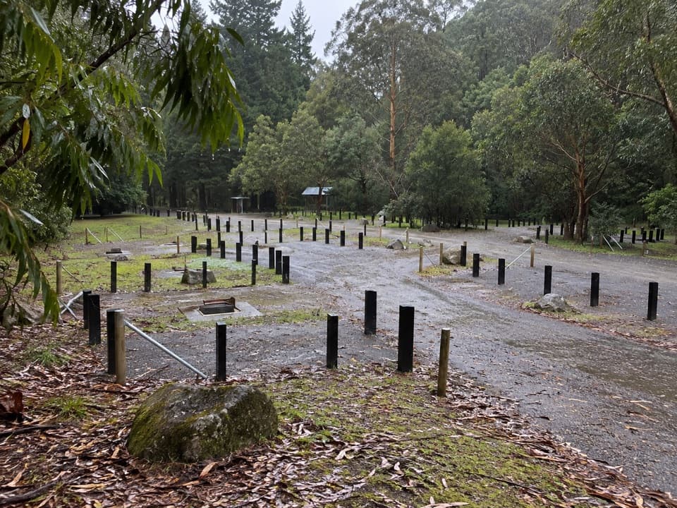 Campground · 8.7 km awayStevensons Falls CampgroundFree tent camping among redwoods by the Gellibrand River.
 Sight · 8.9 km awayStevensons FallsAn easy, redwood-lined walk ends at the falls’ base.
 Sight · 9.5 km awaySabine FallsA rainforest walk to three tall falls across a green valley.
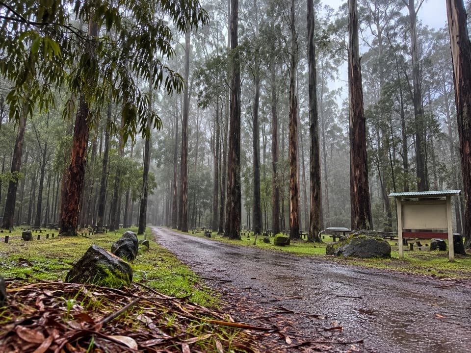 Campground · 11.8 km awayDandos CampgroundA shaded, unpowered camp on the Gellibrand River.
 Picnic area · 13.1 km awayGrey River Picnic AreaA quiet rainforest picnic stop with a glow-worm walk after dark.
 Sight · 13.5 km awayUpper Kalimna FallsA long forest walk leads to cascades above Lower Kalimna Falls.
Parkwolf’s Great Otway ranking

The audio tour guide for the drive, plus offline maps, trails, and wildlife heatmaps for when the signal drops.




