Mott Island Trail in Isle Royale National Park

Isle Royale National Park, MI

Mott Island Trail

A shoreline loop around the island that holds the summer headquarters.

Length
2.3mi
Time
1.5hr
Elev. change
46ft
Difficulty
Easy
  • Loop
  • No dogs
  • High point 640 ft
Parkwolf audio tour17 stories across Isle Royale’s roads

Overview

About Mott Island Trail

Why go

  • Gentle rises along the protected Rock Harbor shore
  • A complete circuit on Mott Island instead of a return walk

Heads up

  • Boat or paddling access is required
  • Published mileage does not match the mapped circuit

Map & elevation

The route

Loading the Isle Royale map
Full map
Elevation594–640 ft
TrailheadMott Island, near the seaplane dock48.11030, -88.53540
Keep this map with you offline in the Parkwolf app

Plan your hike

Before you go

Parking

Water access only; there is no road approach. Mott Island Docks are for public day use, 6 a.m. to 10 p.m. Eastern; the separate Ranger III dock is closed to public use. The trail starts near the seaplane-dock area, but the short connection to the mapped loop is not traced.

Safety

Pets are prohibited. Confirm an authorized public landing and the local dock-to-loop connection before hiking; Mott Island Docks are day use only, and the Ranger III dock is closed to public use.

8 active Isle Royale alerts

  • ClosureSeasonal park closure begins November 1Isle Royale closes to public use November 1–April 15 because extreme winter weather threatens visitor safety; the closure extends 4.5 miles into Lake Superior from the island.Official details
  • ClosureCamping closures at east-end campgrounds and Zone 9Camping restrictions are in effect at four east-end campgrounds and Off-trail Camping Zones 9–13 and 30–38 because of increased human-wildlife interactions and food-storage concerns.Official details
See all 8 alerts
A park ranger sits on a dash-mounted phone, talking, as Parkwolf’s Tour Guide plays “Army Cutworm Moths: A Grizzly Bear Buffet” on Grand Loop Road below Dunraven Pass in Yellowstone
Parkwolf Tour GuideThe highest, rockiest slopes around here are a summer buffet for grizzly bears.

Isle Royale Tour Guide

Your drive to Mott Island Trail, narrated.

Parkwolf is a GPS audio tour guide for Isle Royale National Park. As you drive, it chimes in with what’s ahead: hidden gems, upcoming stops, history, geology, and wildlife, right through your car’s speakers.

More stories near here in the app

  • Rock Harbor Lodge and Scoville Point
  • Built for the Dive
  • Skiing for Science
  • Copper Before the Mine Shafts
  • 17 audio storiesacross Isle Royale’s roads, triggered by GPS as you drive
  • Wildlife heatmapsfor Moose, Wolf, Bald Eagle, and 13 more
  • Works offlinemaps, 39 trails, 83 places, and audio download before you lose signal
  • CarPlay readysimple controls built for the drive
★★★★★
“Fantastic app with many points of information… It’s great to just turn on while you’re driving and it gives you an audio tour of the national Park. We love it!!!!”
JMJamesApp Store review
Download Parkwolf on the App StoreGet Parkwolf on Google Play

4.7 from 8,600+ ratings

Trail guide

Hiking Mott Island Trail

A gentle shoreline circuitMott Island Trail is a 2.

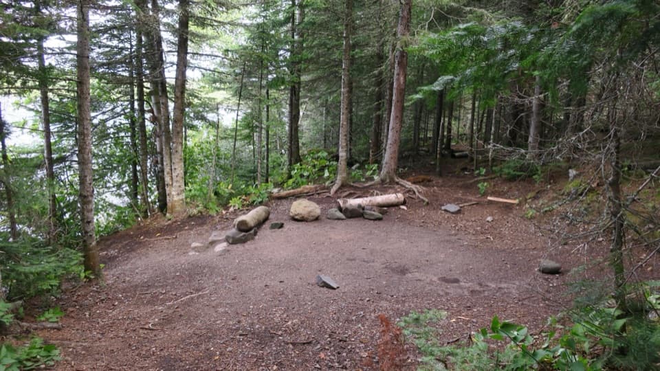
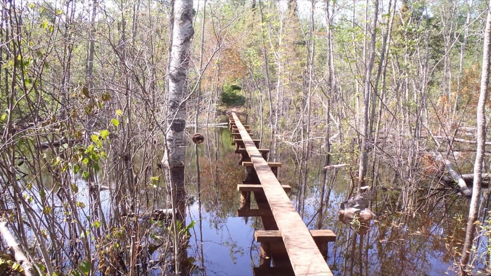
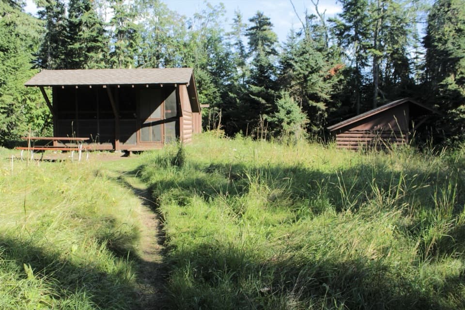
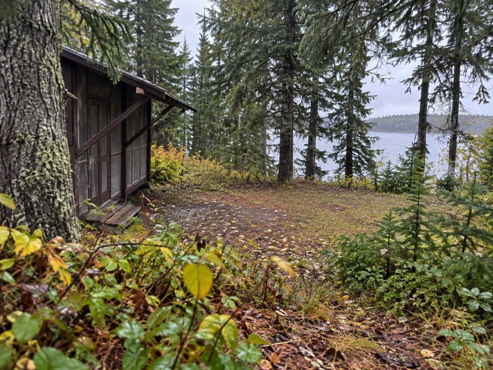
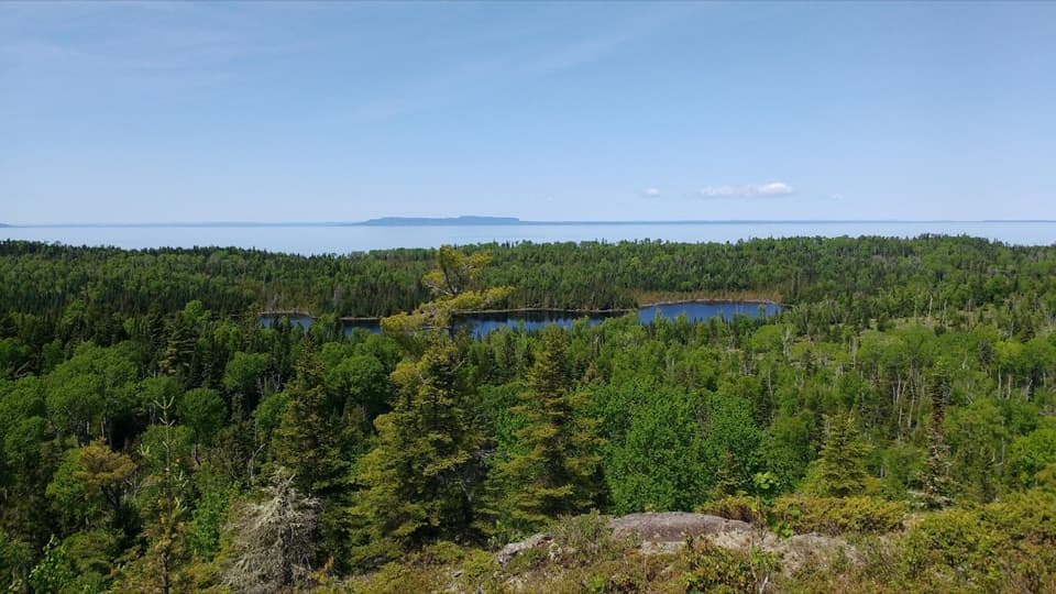
Mott Island Trail is a 2.3-mile loop around the shore of the island that holds Isle Royale’s summer headquarters. It follows the protected Rock Harbor shoreline over gentle rises and dips; the eastern end is the standout stretch. Allow about 1.5 hours on foot, before adding time for boat access.

The connected mapped paths make a 2.3-mile outer loop. Published directions give 2.6 miles for the full circuit and mention a 1.8-mile crossover, but those figures do not match the available connected paths. Treat the distance as approximate and check local wayfinding before choosing a line.

Reach the islandThe hike requires boat or paddling access; there is no road approach.

The hike requires boat or paddling access; there is no road approach. Use Mott Island Docks for public day use, 6 a.m. to 10 p.m. Eastern. The National Park Service lists the separate Ranger III dock as closed to public use. A route description places the trail start near the seaplane-dock area, but the short link from the landing to the mapped circuit is not traced, so confirm your landing and route before setting off. The visitor season runs April 16 through October 31; the island closes November 1 through April 15.

A working headquarters islandThe park’s summer headquarters is on Mott Island, and staff and trail crews use the island…

The park’s summer headquarters is on Mott Island, and staff and trail crews use the island during the season. This is a low-relief footpath. Available route descriptions do not specify the exact tread or on-trail facilities, so bring what you need for a remote walk. Pets are prohibited in the park.

Wildlife

Wildlife in Isle Royale

All Isle Royale wildlife maps

Sighting maps show where each species has been reported across Isle Royale. Wildlife moves, so no sighting is guaranteed.

Keep exploring

Near Mott Island Trail

See it all on the map

Trails that start nearby

Places near the trailhead

Parkwolf’s Isle Royale ranking

Top-rated trails in Isle Royale

All 39 trails
  1. 1Scoville Point LoopModerate · 4.2 mi
  2. 2Greenstone Ridge TrailChallenging · 40 mi
  3. 3Mount Franklin TrailModerate · 2.3 mi
  4. 4Huginnin Cove LoopChallenging · 9.4 mi
  5. 5Lookout Louise TrailModerate · 2 mi
  6. 6Minong Ridge TrailChallenging · 28 mi

Take Parkwolf to Isle Royale.

The audio tour guide for the drive, plus offline maps, trails, and wildlife heatmaps for when the signal drops.

4.7 from 8,600+ ratings

Download Parkwolf on the App StoreGet Parkwolf on Google Play