Parking
No road access: Isle Royale is reached by boat or seaplane. Reach the Greenstone Ridge junction on foot from the island trail network; Lane Cove Campground has foot and canoe/kayak access, with no motorboat access.
Isle Royale National Park, MI
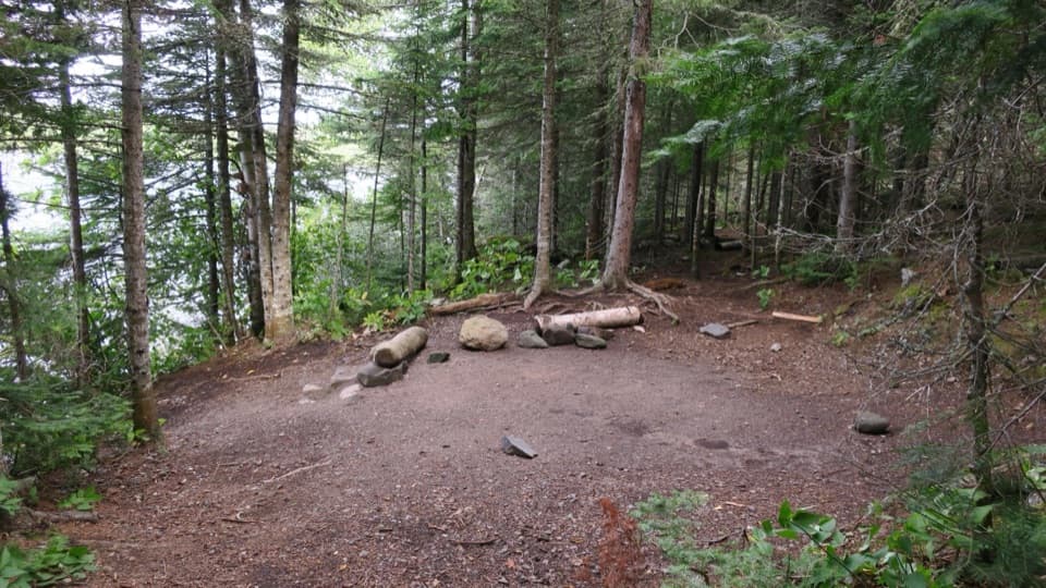
Steep birch switchbacks end at a cove-side Lake Superior campground.
Overview
Map & elevation
Plan your hike

The highest, rockiest slopes around here are a summer buffet for grizzly bears.
Isle Royale Tour Guide
Parkwolf is a GPS audio tour guide for Isle Royale National Park. As you drive, it chimes in with what’s ahead: hidden gems, upcoming stops, history, geology, and wildlife, right through your car’s speakers.
More stories near here in the app
“Fantastic app with many points of information… It’s great to just turn on while you’re driving and it gives you an audio tour of the national Park. We love it!!!!”


Trail guide
Lane Cove Trail is a 2.3-mile one-way descent from the Greenstone Ridge Trail to the five-site Lane Cove Campground on Isle Royale’s north shore. The payoff is the change from a high, birch-covered ridge to a small Lake Superior cove. Allow about 1.5–2 hours one way. It works best as a backpacking leg; for a standalone day hike, retrace it for 4.6 miles, including the steep climb back.
The trail leaves the ridge on steep switchbacks through tall birches, with a Lake Superior view opening to the north before the forest closes in. Farther down, the grade eases into smaller ridges with wet ground between them. The path is uneven, and wet tread can be slippery, so take your time on the descent, especially with a full pack.
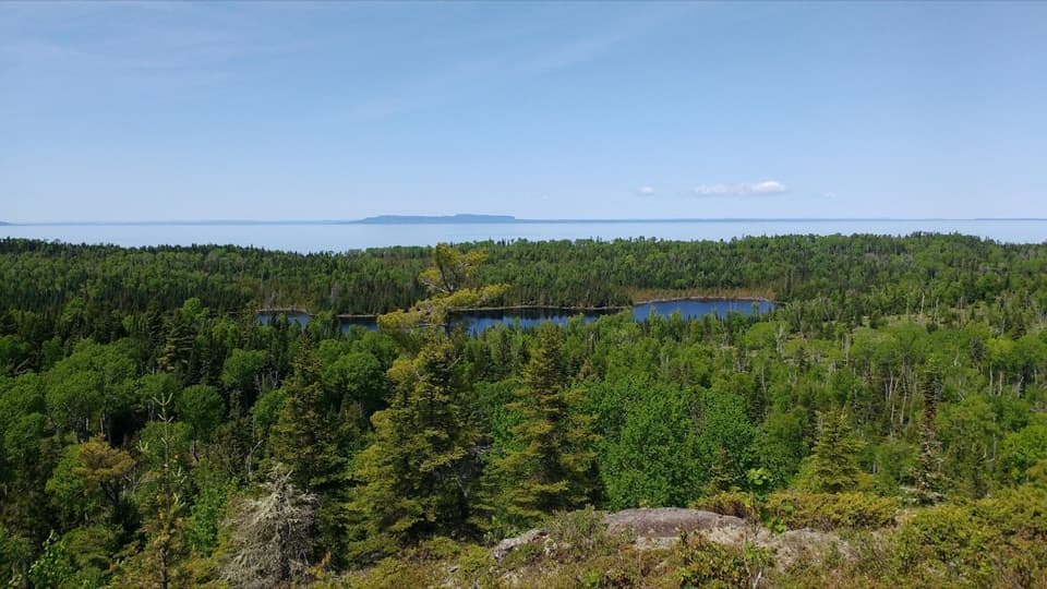
Near Lane Cove, the route crosses swampy ground on thin boardwalks and turns through woods toward the shore. The campground sits beside the water, with islands across the cove; on a clear day, Thunder Bay in Canada is visible across Lake Superior. From the shoreline, frame the cove with the near-shore islands rather than pointing straight across open water.
There is no road access or food store here. Isle Royale is reached by boat or seaplane; reach the ridge junction on foot from the island trail network, while Lane Cove has foot and canoe/kayak access. Carry your food and treat water before drinking. Overnight stays require a permit, and Lane Cove’s annual one-night limit applies June 1 through September 21. Pets are prohibited on Isle Royale.
Wildlife
 308 sightingsMooseMost seen around 8 PMSighting map
 93 sightingsWolfMost seen around 8 PMSighting map
 77 sightingsBald EagleMost seen around 5 PMSighting map
 150 sightingsLoonMost seen around 7 AMSighting map
 24 sightingsTrumpeter SwanMost seen around 6 PMSighting map
 71 sightingsBeaverMost seen around 8 PMSighting map
Sighting maps show where each species has been reported across Isle Royale. Wildlife moves, so no sighting is guaranteed.
Keep exploring
 ModerateMount Franklin Trail2.3 mi · 2.5 hr · 1.5 mi awayA steep climb to the island’s broad northward view.
 EasyMott Island Trail2.3 mi · 1.5 hr · 1.7 mi awayA shoreline loop around the island that holds the summer headquarters.
 EasyEdisen Fishery–Rock Harbor Lighthouse Trail0.4 mi · 30 min · 2.8 mi awayA short boat-in loop links a historic fishery and lighthouse.
 ModerateDaisy Farm Triangle5.1 mi · 3.5 hr · 2.9 mi awayBoardwalks, ridge climbs, and a historic tower above the island.
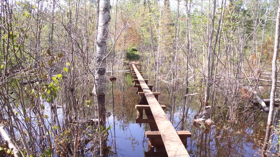 ModerateDaisy Farm Trail1.7 mi · 1.3 hr · 2.9 mi awayBoardwalks cross beaver wetlands on the climb to the ridge.
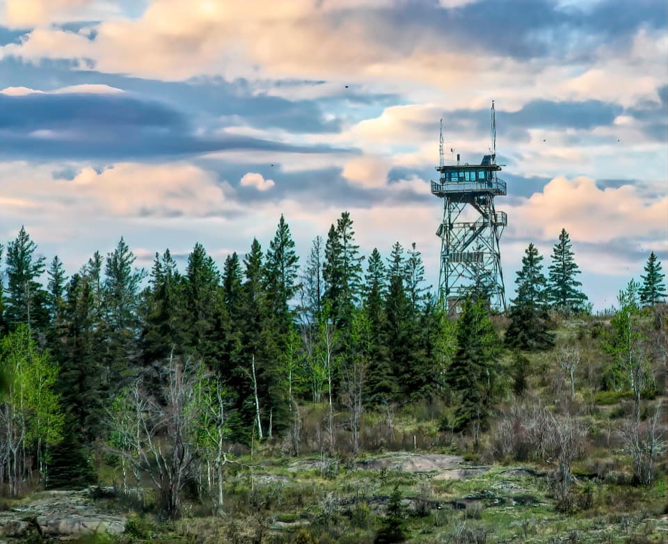 ModerateMount Ojibway Trail3.4 mi · 2.5 hr · 2.9 mi awayA steep island climb to a historic tower and ridge views.
 ModerateTobin–Duncan Portage Trail1.6 mi · 1.5 hr · 3.4 mi awayA steep, boat-accessed crossing over Greenstone Ridge.
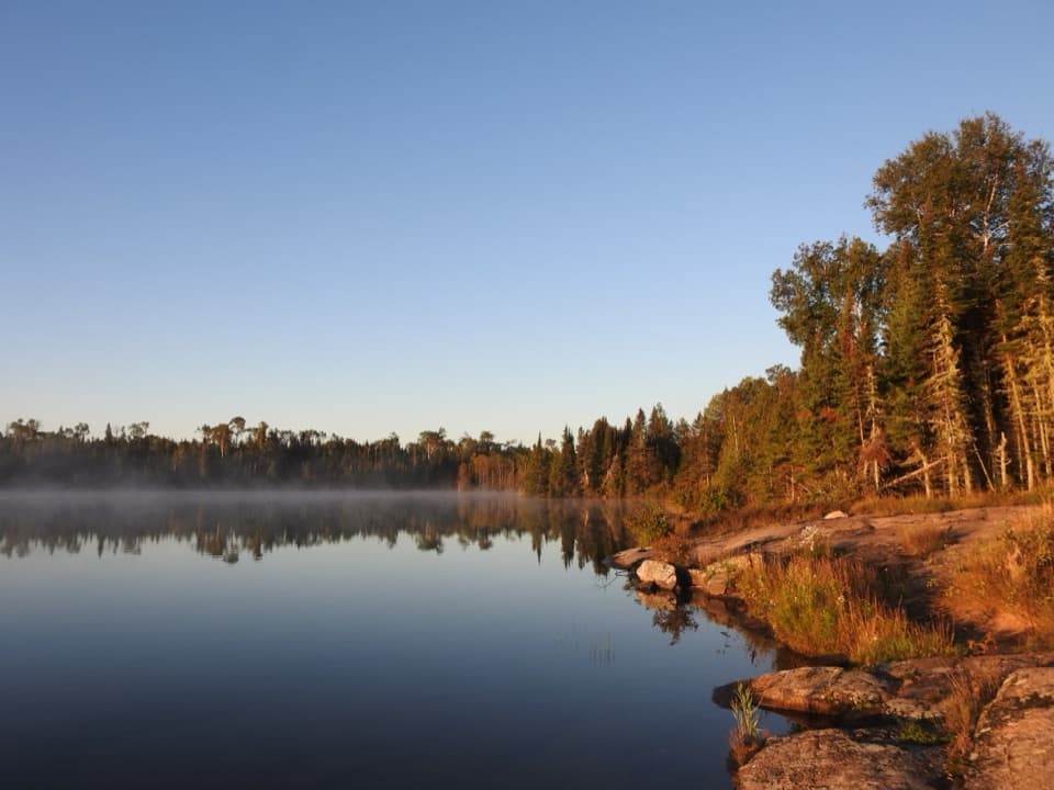 ChallengingHarbor to Hills Loop33.2 mi · 1.3 days · 3.7 mi awayA 33-mile island loop climbs from Lake Superior shore to Greenstone Ridge.Sight · 0.2 mi awayMount FranklinA long ridge hike opens up a view of Canada.
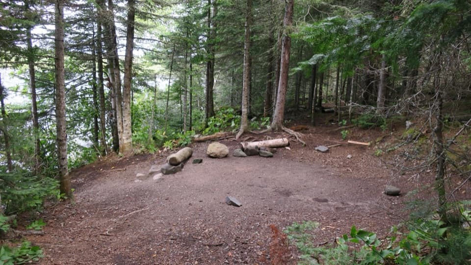 Campground · 1.2 mi awayLane Cove CampgroundA five-site Lake Superior camp for a quiet backcountry night.
 Campground · 1.5 mi awayThree Mile CampgroundEight shelters and a dock ease your first night beyond Rock Harbor.
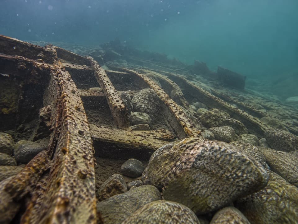 Sight · 1.8 mi awaySS Algoma WreckA cold-water dive over a steamer broken apart by an 1885 storm.
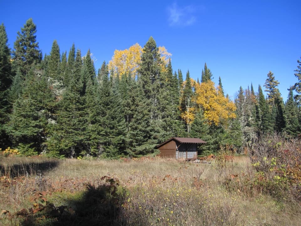 Campground · 2 mi awayBelle Isle CampgroundA boat-in campground hides the remains of a 1912 island resort.
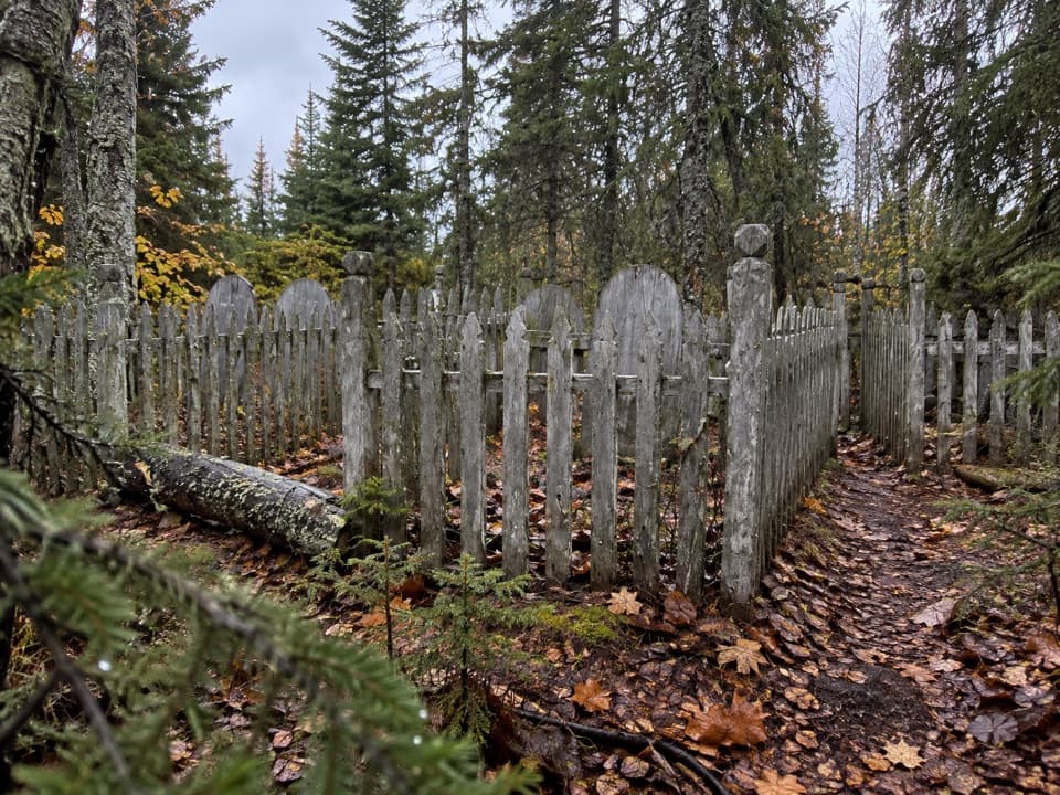 Sight · 2.2 mi awayCemetery Island CemeteryA small island cemetery with unresolved mining and shipwreck stories.
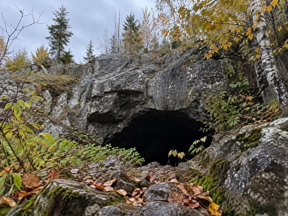 Sight · 2.2 mi awaySuzy's CaveA 4,000-year-old sea arch worth the rocky trail detour.
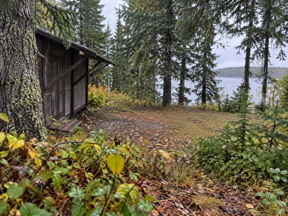 Campground · 2.3 mi awayCaribou Island CampgroundA boat-in campground with two shelters on Rock Harbor Channel.
Parkwolf’s Isle Royale ranking

The audio tour guide for the drive, plus offline maps, trails, and wildlife heatmaps for when the signal drops.