Parking
Use the Dorothy and Christine Lakes trailhead parking area on the north side of Highway 16, about 11.5 km west of Jasper and just past the Meadow Creek Bridge. Follow the railway access road from the parking area to the signed trail start.
Jasper National Park, AB
Quiet forest out-and-back to Dorothy and Christine Lakes, with an optional Virl spur.
Overview
Dorothy and Christine Lakes are a quiet pair of Jasper lakes reached by a forested trail with mountain views. The route has a varied start, a steady climb, and an optional spur to Virl Lake for hikers who want a third lake.
 Parkwolf’s verdictWhy go
Map & elevation
Plan your hike

The highest, rockiest slopes around here are a summer buffet for grizzly bears.
Jasper Tour Guide
Parkwolf is a GPS audio tour guide for Jasper National Park. As you drive, it chimes in with what’s ahead: hidden gems, upcoming stops, history, geology, and wildlife, right through your car’s speakers.
See the Jasper audio tourRecorded for this area
The Great Divide Trail Crossing“If you see a hiker near the road with a lightweight pack and a weary but focused look, they might be tackling the Great Divide Trail. This is a monster of a route—over 1,100 kilometers along the spine of the Rockies.”
Plays on the road 0.2 km from the trailhead in the Parkwolf Jasper Tour Guide.
More stories near here in the app
“Fantastic app with many points of information… It’s great to just turn on while you’re driving and it gives you an audio tour of the national Park. We love it!!!!”


Trail guide
From the Dorothy and Christine Lakes trailhead parking area about 11.5 km west of Jasper on Highway 16, follow the railway access road, cross the tracks carefully, and use the bridge over the Miette River. The trail then climbs through forest, with some steeper sections, to the junction for the optional Virl Lake spur. Stay on the main trail to reach Dorothy Lake, then continue about 300 m farther to the rocky shore of Christine Lake.
This row represents the main Dorothy-and-Christine out-and-back. Its mapped line follows the highway-side trailhead to Christine and stores the physical corridor once; the optional Virl spur is not included in the mapped line or listed distance. Plan on about 5.0 miles (8.0 km) round trip, roughly 250 m of elevation gain, and about 4.5 hours.
This is a moderate, forested hike used by hikers and cyclists. Signage is not always obvious at junctions, so watch for the Virl spur and the continuation to Dorothy and Christine. There are no amenities or campsites along the route. A valid Jasper National Park entry pass is required, but no separate day-use permit is listed for this trail.
Wildlife
 174 sightingsGrizzly BearMost seen around 8 PMSighting map
 43 sightingsCaribouMost seen around 7 AMSighting map
 40 sightingsGray WolfMost seen around 6 AMSighting map
 12 sightingsCanada LynxMost seen around 8 PMSighting map
 315 sightingsMooseMost seen around 6 AMSighting map
 1,028 sightingsElkMost seen around 7 AMSighting map
Sighting maps show where each species has been reported across Jasper. Wildlife moves, so no sighting is guaranteed.
Keep exploring
 ChallengingIndian Ridge8.9 km · 5 hr · 9.1 km awayHigh-alpine Indian Ridge views from the Jasper SkyTram with a rugged out-and-back scramble
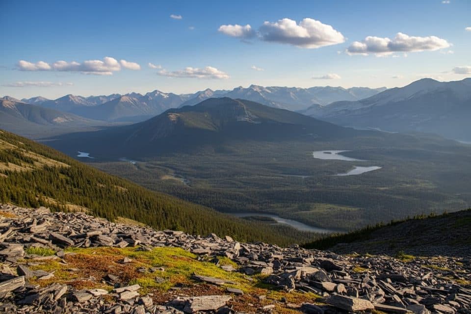 ModerateWhistlers Summit Trail2.7 km · 1.5 hr · 9.1 km awayQuick alpine climb from the SkyTram to Jasper’s big-views summit
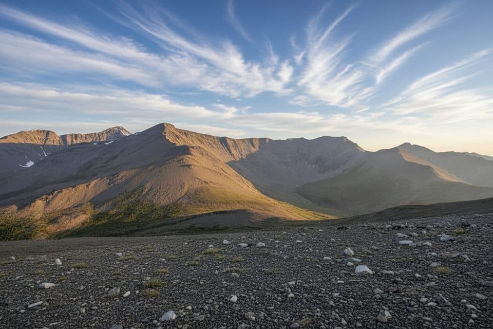 ChallengingWhistlers Trail13.7 km · 6.5 hr · 9.7 km awayForest-to-alpine grind with huge summit views and a tram bailout
 ModerateSaturday Night Lake Loop24.6 km · 8 hr · 10 km awayA long multi-use loop from Jasper through Marjorie, Minnow, High, and Saturday Night lakesModeratePyramid Bench Loop14.5 km · 5 hr · 11.2 km awayModerate multi-use loop from Jasper to Pyramid Lake with bench-top views over the Athabasca Valley.ModerateCabin Lake Trail6.8 km · 2.3 hr · 11.2 km awayForest-and-lake loop from Jasper's Pyramid Bench
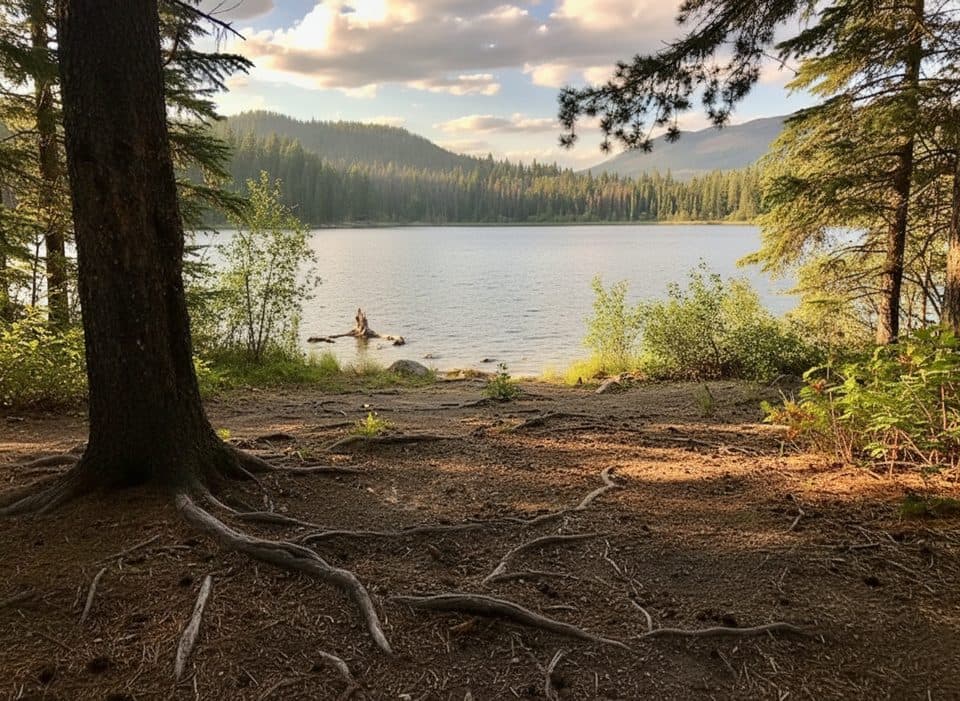 EasyTrail 8 (MinaLake)9 km · 3.5 hr · 11.3 km awayA moderate lake loop through Jasper's Pyramid Bench forest.
 Sight · 8.8 km awayJasper SkyTramQuick ride to big-mountain views and summit trails
 Sight · 8.9 km awayIndian RidgeHigh‑alpine ridgewalk with huge views, a short SkyTram away
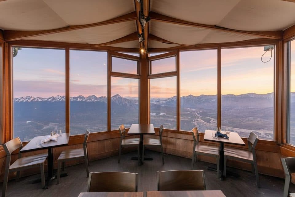 Restaurant · 9.1 km awaySummit RestaurantMountaintop cafe with knockout views via the SkyTram
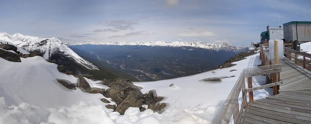 Sight · 9.2 km awayWhistlers MountainSkyTram-served alpine summit with sweeping views and whistling marmots
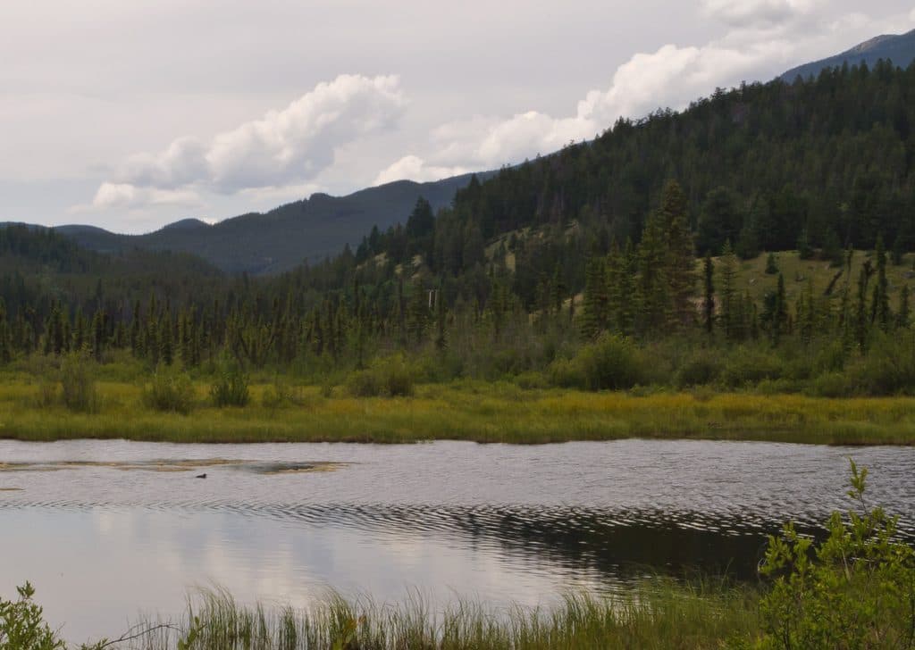 Sight · 10.9 km awayPatricia LakeCalm lake with Pyramid Mountain reflections and quirky WWII history
 Lodging · 11 km awayPatricia Lake BungalowsQuiet lakeside cabins with hot tub, boat rentals, and mountain views
 Sight · 11.2 km awayJasper Yellowhead Museum and ArchivesSmall museum packed with Jasper stories, artifacts, and archives
 Sight · 11.3 km awaySt. Mary & St. George Anglican ChurchQuaint 1927 stone church with luminous stained glass on Miette Ave
Parkwolf’s Jasper ranking
The audio tour guide for the drive, plus offline maps, trails, and wildlife heatmaps for when the signal drops.




