Parking
No dedicated lot is confirmed at the Burro Loop Access junction. The North Canyon approach from Park Boulevard adds distance; check posted restrictions and use only a legal roadside pullout.

Joshua Tree National Park, CA
A 4.5-mile loop through rocky hills, washes and wide desert views.
Overview
Map & elevation
Plan your hike

The highest, rockiest slopes around here are a summer buffet for grizzly bears.
Joshua Tree Tour Guide
Parkwolf is a GPS audio tour guide for Joshua Tree National Park. As you drive, it chimes in with what’s ahead: hidden gems, upcoming stops, history, geology, and wildlife, right through your car’s speakers.
See the Joshua Tree audio tourRecorded for this area
The Bird That Plants Mistletoe“A reddish tangle growing in a mesquite tree may be desert mistletoe, with a bird helping it spread. Phainopeplas, crested birds whose males are glossy black, eat the mistletoe's berries.”
Plays on the road 1.2 mi from the trailhead in the Parkwolf Joshua Tree Tour Guide.
More stories near here in the app
“Fantastic app with many points of information… It’s great to just turn on while you’re driving and it gives you an audio tour of the national Park. We love it!!!!”


Trail guide
Burro/Rocky View Loop is a 4.5-mile circuit in Joshua Tree’s Maze Zone. It follows the longer side of Burro Loop, crosses Rocky View, and returns on Burro, passing low rocky ridges, open flats and dry washes. Expect broad high-desert views rather than one big summit or a single destination. Allow roughly 2.5 to 3 hours.
Start where Burro Loop Access Trail meets Burro Loop. That junction is the start of the mapped circuit; an approach from North Canyon and Park Boulevard adds mileage, so keep it separate from the 4.5-mile loop figure. Tread is faint in places, with side tracks that can be easy to mistake for the main path. Save the route offline and pay attention at junctions.
The walk moves through sandy washes, rocky low hills and open desert flats, with Joshua trees and wide views across the surrounding country. The ground rises and falls without a single summit payoff. Expect a mix of dirt, sand and rock underfoot; the route’s appeal is the changing desert terrain and the space around it.
There is little shade and no drinking water along the route, which makes this a poor choice in hot conditions. Pets are not allowed on hiking trails or in the backcountry at Joshua Tree. A dedicated parking lot at the access junction is not confirmed; check posted restrictions and use only a legal pullout.
Wildlife
 129 sightingsBighorn SheepMost seen around 6 PMSighting map
 15 sightingsGolden EagleMost seen around 10 AMSighting map
 413 sightingsDesert TortoiseMost seen around 8 AMSighting map
 275 sightingsCoyoteMost seen around 6 AMSighting map
 47 sightingsBobcatMost seen around 6 PMSighting map
 32 sightingsMule DeerMost seen around 6 AMSighting map
Sighting maps show where each species has been reported across Joshua Tree. Wildlife moves, so no sighting is guaranteed.
Keep exploring
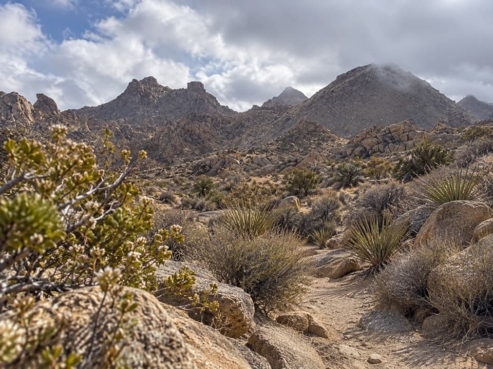 ModerateNorth Canyon Trail1.8 mi · 1 hr · 1.3 mi awayA one-way connector through the Maze’s washes and rocky ridges.
 ModerateMaze Loop Trail5 mi · 2.5 hr · 1.3 mi awayA five-mile boulder maze through sandy washes and Joshua trees.
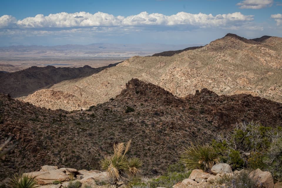 ModerateNorth View Trail5.6 mi · 3.5 hr · 1.3 mi awayWide Morongo Basin views reward a long, rocky out-and-back.
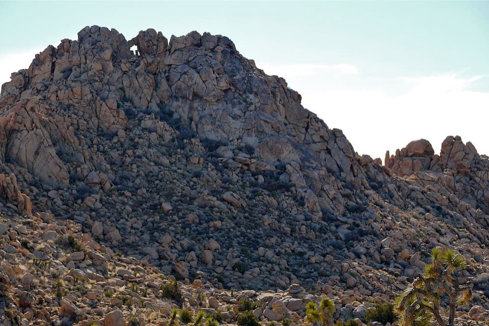 ModerateWindow Loop Trail5.5 mi · 3.5 hr · 1.3 mi awayA long Maze approach leads to Window Rock’s tiny opening.
 ModerateSamuelson Rocks via Creosote and Bigfoot Trails4.8 mi · 2.5 hr · 1.9 mi awayFollow desert paths to a lonely mound of carved messages.
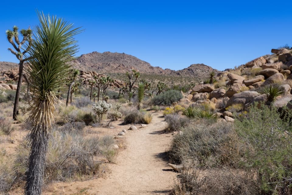 EasyCreosote Trail1.2 mi · 45 min · 1.9 mi awayA short, lightly signed walk among creosote and Joshua trees.
 ChallengingPanorama Trail3 mi · 2.5 hr · 2.3 mi awayA three-mile backcountry climb links Quail Wash and Bigfoot Trail.
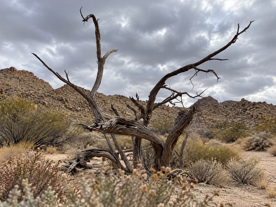 EasySamuelson West Trail1.1 mi · 30 min · 2.8 mi awayA 1.1-mile backcountry link with a Mary Trail junction midway
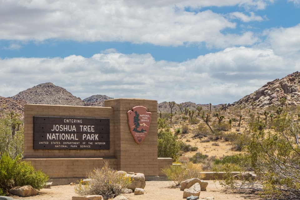 Entrance station · 1.2 mi awayWest Entrance and Welcome SignThe west-gate sign, water fill, and first stop on the park drive.
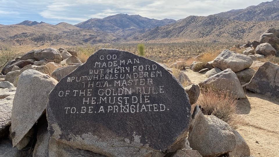 Sight · 3.6 mi awaySamuelson RocksCarved desert messages from a man whose story went missing.
 Visitor center · 4.7 mi awayJoshua Tree Visitor CenterPick up a map and ranger advice before the West Entrance.
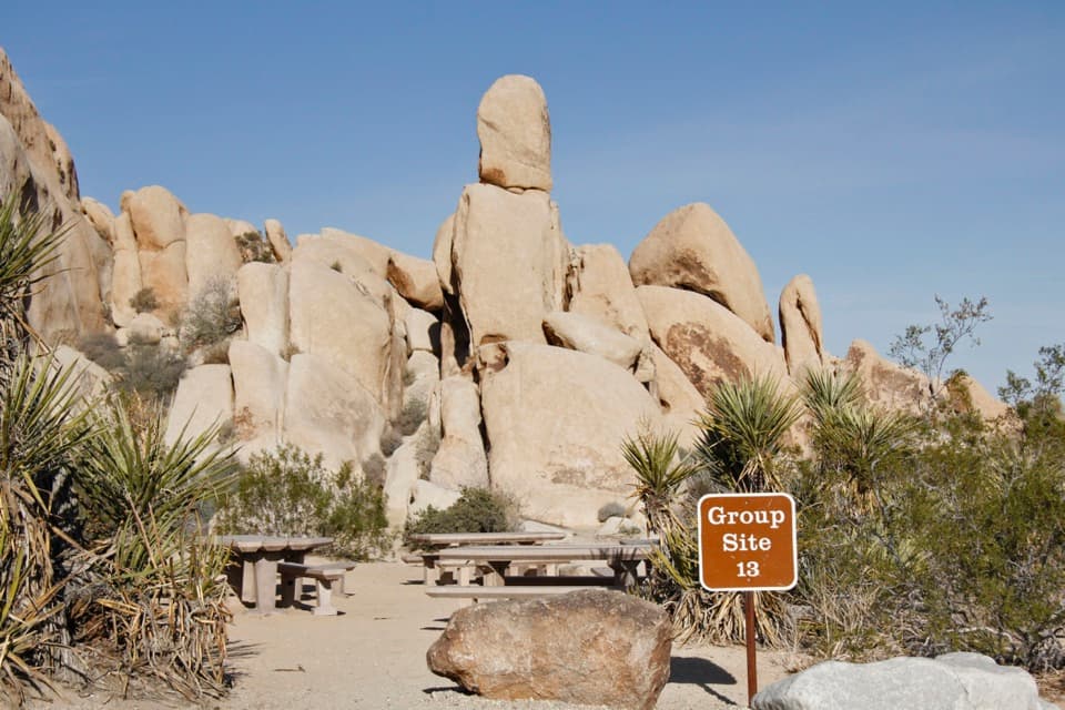 Campground · 4.9 mi awayIndian Cove CampgroundCamp among boulders with climbing and a half-mile nature loop nearby.
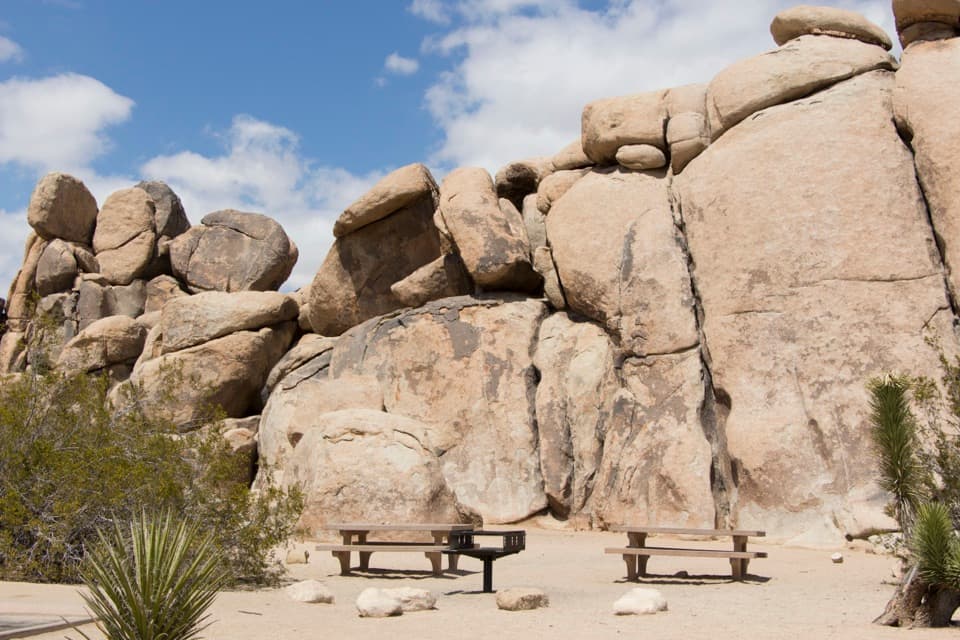 Picnic area · 4.9 mi awayQuail Springs Picnic AreaPicnic tables and grills tucked beneath Joshua Tree’s granite boulders.
 Sight · 4.9 mi awayNancy Karl Trail OverlookA sandy trail leads to a wayside view over the desert basin.
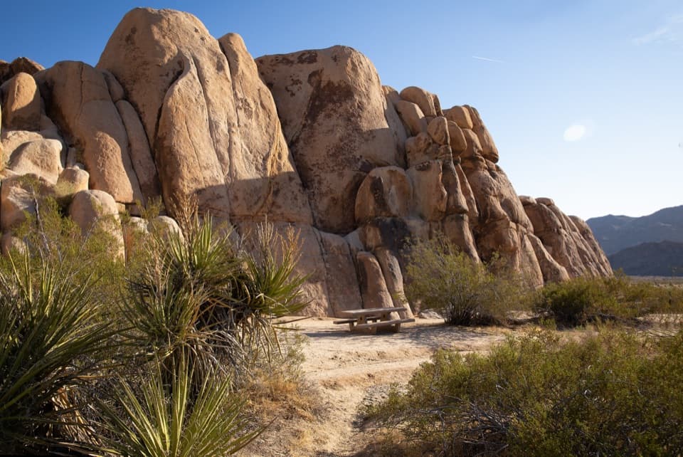 Picnic area · 5.2 mi awayRattlesnake Picnic AreaA quiet lunch stop beneath Indian Cove’s boulder walls.
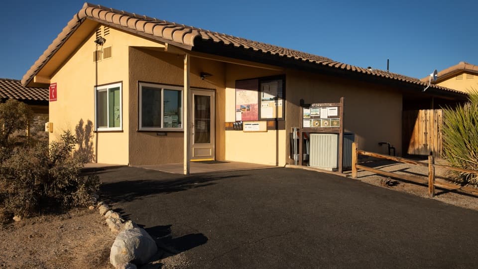 Ranger station · 5.3 mi awayIndian Cove Ranger StationA useful water and information stop for Indian Cove.
Parkwolf’s Joshua Tree ranking

The audio tour guide for the drive, plus offline maps, trails, and wildlife heatmaps for when the signal drops.





