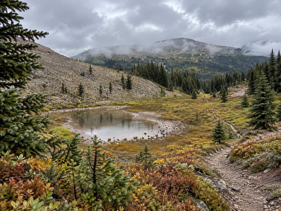
Wolverine Pass in Kootenay National Park

Kootenay National Park, BC

Wolverine Pass

A steep climb from creek forest to the Rockwall divide.

Length
15km
Time
6hr
Elev. change
655m
Difficulty
Challenging
  • Dogs allowed
  • High point 2,197 m
Parkwolf audio tour49 stories across Kootenay’s roads

Overview

About Wolverine Pass

Why go

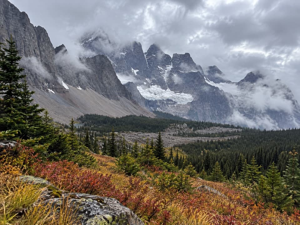
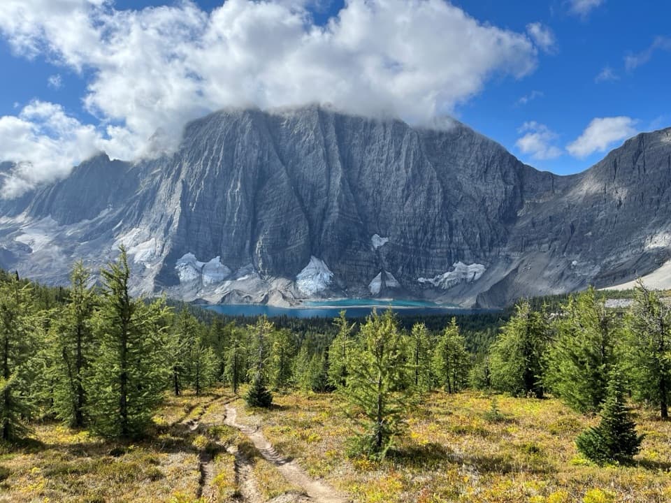
  • Direct access to the Rockwall at Wolverine Pass
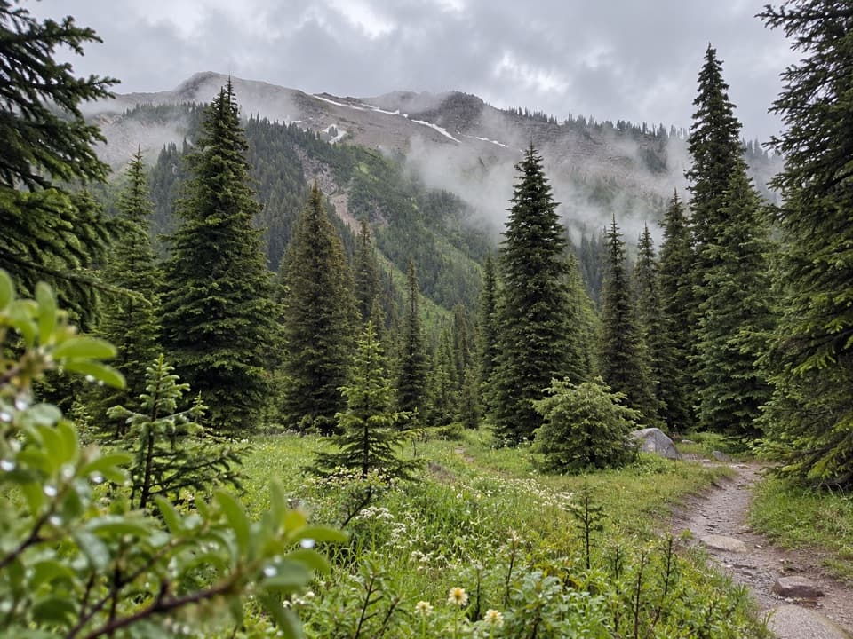
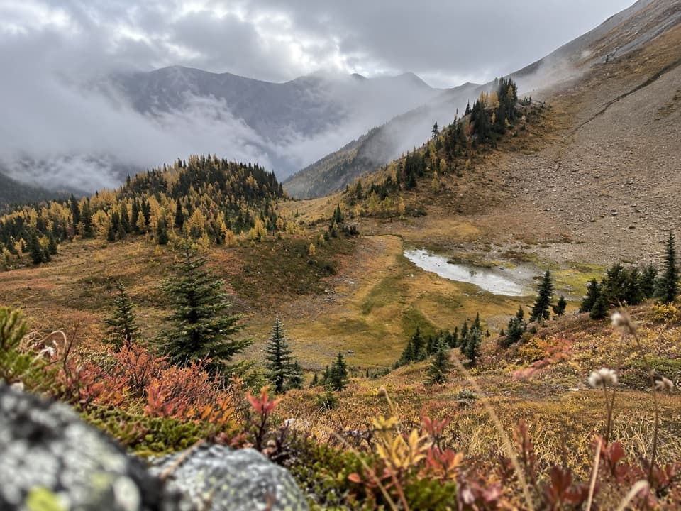
  • Creek forest gives way to alpine terrain
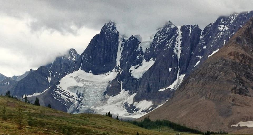
  • A short continuation reaches Tumbling Glacier views

Heads up

  • Long, remote drive on Forest Service Roads
  • Steep climb with repeated slide crossings
  • No verified water, toilets or food services
Wolverine Pass is the steep west-side approach to the Rockwall, a 15 km (9.3 mile) out-and-back from Wolverine Branch to the pass in Kootenay National Park. The 7.5 km agency figure is to the pass, so plan on the same distance back. Allow about six hours for roughly 780 m (2,550 ft) of climbing, plus time for the long drive in. This is a hard, remote day hike for people comfortable with sustained uphill, repeated slide crossings and a long gravel-road approach. The payoff is a high mountain pass, with a glacier viewpoint a short way farther along the Rockwall.
Parkwolf’s verdictIs this hike for you?

Map & elevation

The route

Loading the Kootenay map
Full map
Elevation1,542–2,197 m
TrailheadWolverine Pass Trailhead51.10632, -116.32261
Keep this map with you offline in the Parkwolf app

Plan your hike

Before you go

Parking

Park at the small landing and kiosk on Wolverine Branch FSR. From Golden, drive 25.7 km east on the Trans-Canada Highway to Beaverfoot FSR. Set the odometer to zero at the Kicking Horse River bridge. At 23.5 km take the left fork; at 31.7 km take the left fork past Moose Creek Branch onto Wolverine Branch. Continue 8.7 km and take the first three left branches at Y-junctions. At the broad right-hand switchback, continue straight about 1 km to the landing, 40.3 km from odometer zero. The trail starts about 50 m farther along the road, opposite the landing. Logging roads can change and create extra junctions; the Forest Service Roads are gravel, unmaintained and shared with industrial traffic, so check current local road information.

Safety

This is prime grizzly habitat. Carry accessible bear spray and know how to use it; make noise through dense brush and keep dogs leashed and under control. The route reaches above treeline, where snow and avalanche hazard can persist seasonally. Check current trail and road advisories before leaving; cell service may be limited or unavailable.

5 active Kootenay alerts

  • ClosureWatercraft and angling prohibitedWatercraft and angling are prohibited on every waterbody in Kootenay National Park until March 31, 2027, to reduce the spread of aquatic invasive species (AIS), including whirling disease.Official details
  • ClosureSinclair Canyon construction closures and delaysRepairs to the Sinclair Creek Rock Tunnel and rehabilitation of the retaining wall at Sinclair Canyon require construction closures; expect alternating single-lane traffic on Highway 93S and…Official details
See all 5 alerts
A park ranger sits on a dash-mounted phone, talking, as Parkwolf’s Tour Guide plays “Army Cutworm Moths: A Grizzly Bear Buffet” on Grand Loop Road below Dunraven Pass in Yellowstone
Parkwolf Tour GuideThe highest, rockiest slopes around here are a summer buffet for grizzly bears.

Kootenay Tour Guide

Your drive to Wolverine Pass, narrated.

Parkwolf is a GPS audio tour guide for Kootenay National Park. As you drive, it chimes in with what’s ahead: hidden gems, upcoming stops, history, geology, and wildlife, right through your car’s speakers.

See the Kootenay audio tour
  • 49 audio storiesacross Kootenay’s roads, triggered by GPS as you drive
  • Wildlife heatmapsfor Grizzly Bear, Gray Wolf, Moose, and 13 more
  • Works offlinemaps, 38 trails, 29 places, and audio download before you lose signal
  • CarPlay readysimple controls built for the drive
★★★★★
“Fantastic app with many points of information… It’s great to just turn on while you’re driving and it gives you an audio tour of the national Park. We love it!!!!”
JMJamesApp Store review
Download Parkwolf on the App StoreGet Parkwolf on Google Play

4.7 from 8,600+ ratings

Trail guide

Hiking Wolverine Pass

The creek approachThe path drops from the road to a creek and crosses it on a single-log bridge with a rope…

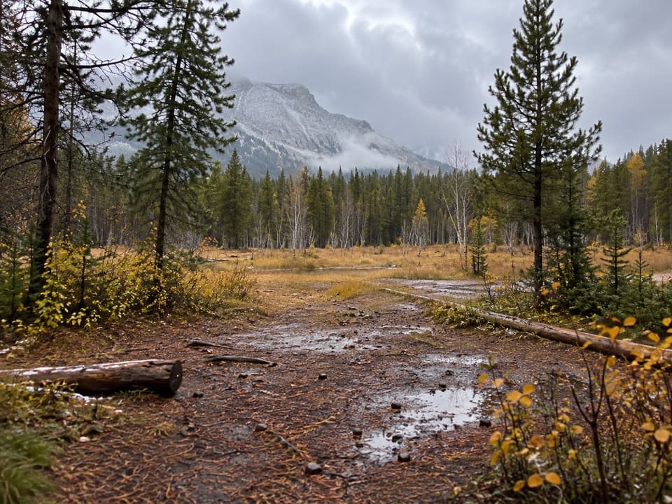
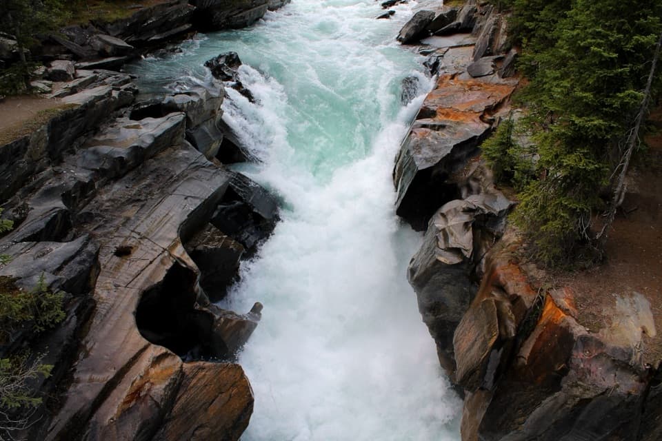
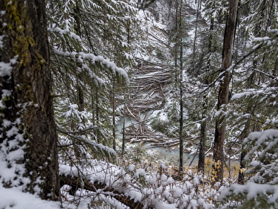
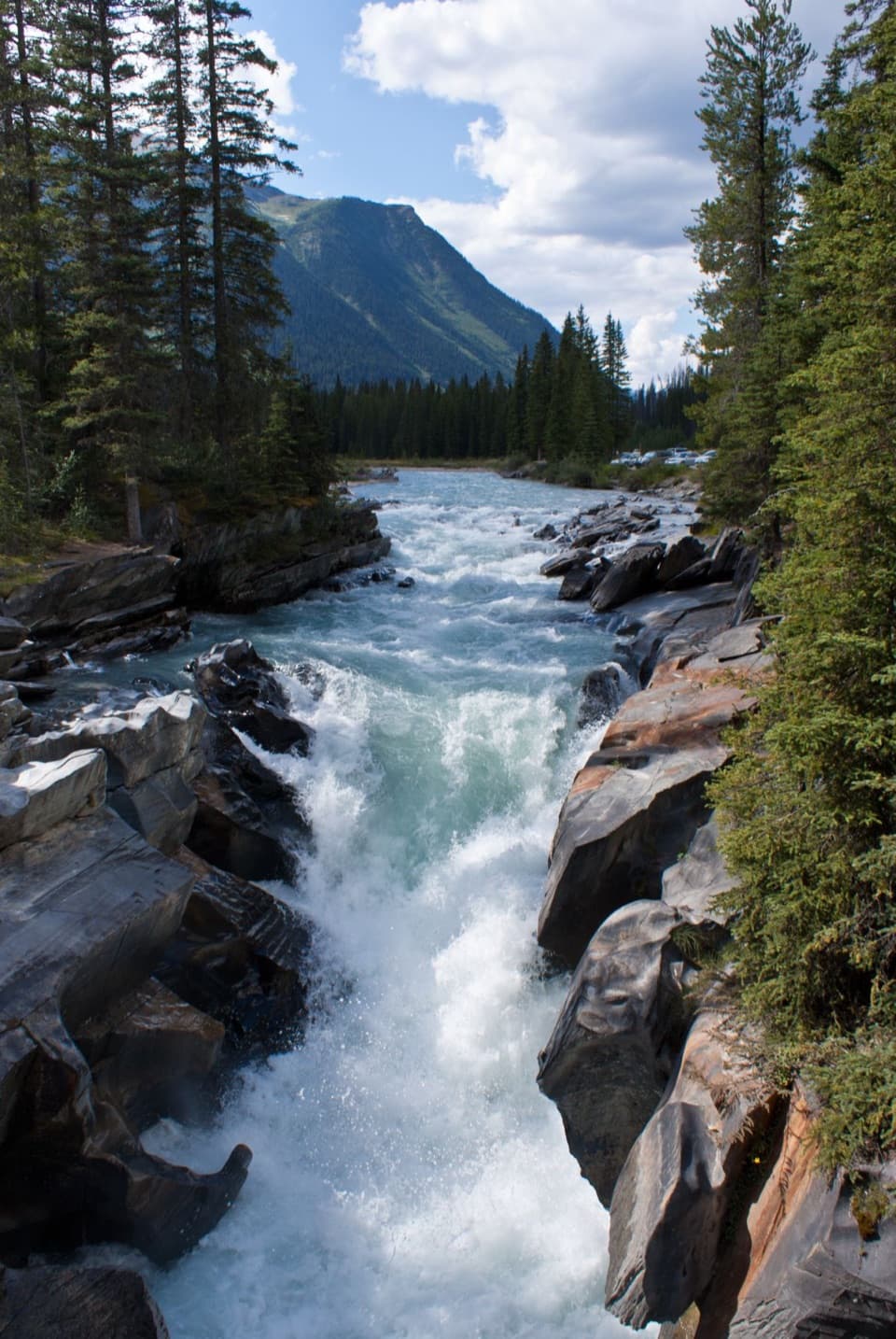
The path drops from the road to a creek and crosses it on a single-log bridge with a rope handrail. It then follows the north bank through forest for about 2 km. Five avalanche or slide paths cut across this stretch, so footing and route-finding change where the trail leaves the trees and crosses open slopes. This first part is a creekside approach, not a level stroll; save energy for the climb ahead.

The upper climbAfter the fifth slide path, the grade steepens.

After the fifth slide path, the grade steepens. A built section gains about 400 m in a little over 2 km, then the route crosses one more slide path below Mount Drysdale. Wolverine Pass is still more than 1 km beyond. The effort comes late, so expect a long, steady ascent before the saddle and a substantial descent on the way back.

At Wolverine PassThe pass is the meeting point of this west-side trail and the Rockwall Trail.

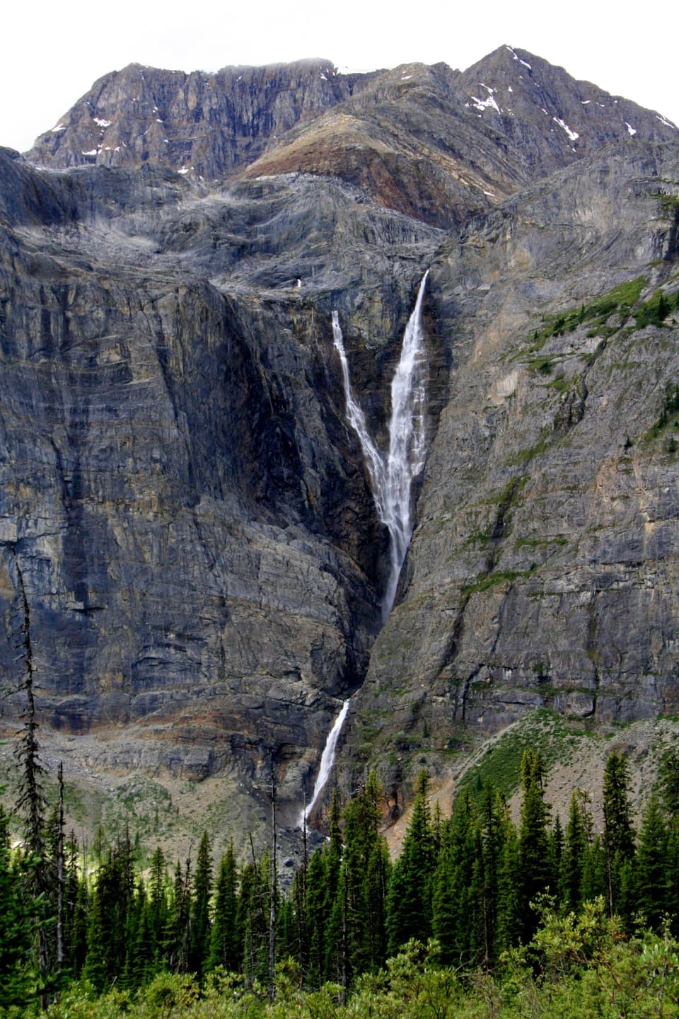
The pass is the meeting point of this west-side trail and the Rockwall Trail. A few hundred metres east, the junction opens two short continuations: turn right for a view of Tumbling Glacier, Tumbling Creek and the Vermillion River valley within about 500 m, or left for Rockwall Pass and its view of the cliffs about 1 km away. Those are additions on the Rockwall, not part of the 15 km round trip stored here.

Access and preparationThe trail starts by a small landing and kiosk on Wolverine Branch Forest Service Road.

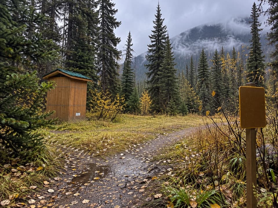
The trail starts by a small landing and kiosk on Wolverine Branch Forest Service Road. The drive is long, gravel and shared with industrial traffic; new logging roads can add junctions, so verify directions and local road information before setting out. There is no verified food, potable water or toilet at the trailhead, so carry what you need for a self-supported day. In the park, dogs must stay leashed and under control.

Wildlife

Wildlife in Kootenay

All Kootenay wildlife maps

Sighting maps show where each species has been reported across Kootenay. Wildlife moves, so no sighting is guaranteed.

Keep exploring

Near Wolverine Pass

See it all on the map

Trails that start nearby

Places near the trailhead

Parkwolf’s Kootenay ranking

Top-rated trails in Kootenay

All 38 trails
  1. 1Rockwall TrailChallenging · 54.1 km
  2. 2Floe LakeChallenging · 21.6 km
  3. 3Stanley GlacierModerate · 8.8 km
  4. 4Marble CanyonEasy · 1.8 km
  5. 5Paint Pots TrailEasy · 2 km
  6. 6Kindersley-Sinclair LoopChallenging · 16.3 km

Take Parkwolf to Kootenay.

The audio tour guide for the drive, plus offline maps, trails, and wildlife heatmaps for when the signal drops.

4.7 from 8,600+ ratings

Download Parkwolf on the App StoreGet Parkwolf on Google Play