Parking
Gatesgarth Farm car park is the correct start, reached by narrow, steep rural roads. Leave access clear and do not rely on roadside parking.
#11 of 265 trails in Lake District
Lake District National Park, EN
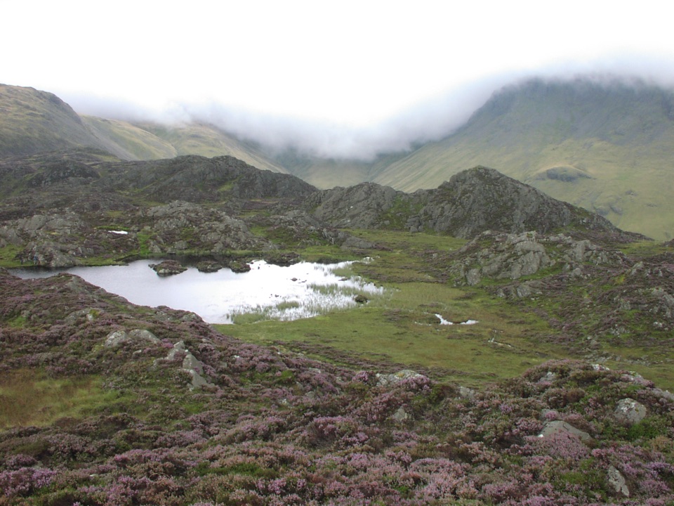
Steep rocky climb to Wainwright's favourite fell and its two quiet tarns
Overview
Over the summit you drop past the little tarn on top to Innominate Tarn, the water associated with Wainwright, who called Haystacks his favourite fell and whose ashes were scattered here. A short way on is Blackbeck Tarn, set in a shallow rocky bowl. The descent swings down past the Dubs Quarry ground and Warnscale Beck, then follows the valley back to the road and Gatesgarth. Views run back along the whole length of Buttermere and Crummock Water, across to High Crag, and out towards Pillar.
 Parkwolf’s verdictThe Payoff
Map & elevation
Plan your hike

The highest, rockiest slopes around here are a summer buffet for grizzly bears.
Lake District Tour Guide
Parkwolf is a GPS audio tour guide for Lake District National Park. As you drive, it chimes in with what’s ahead: hidden gems, upcoming stops, history, geology, and wildlife, right through your car’s speakers.
Recorded for this trailhead
Gatesgarth: Haystacks and the Mountain Tarns“You're approaching Gatesgarth Farm, the starting point for a walk up Haystacks and its little mountain tarns.”
Plays as you drive up to this trailhead in the Parkwolf Lake District Tour Guide.
More stories near here in the app
“Fantastic app with many points of information… It’s great to just turn on while you’re driving and it gives you an audio tour of the national Park. We love it!!!!”


Trail guide
This is a complete 5.2 mile circuit starting and finishing at Gatesgarth Farm near the head of Buttermere, with roughly 500 m of climbing from about 103 m at the road to around 599 m on the Haystacks summit area. Most people take 3 to 4 hours, and it is sensible to allow more if you want long stops or if visibility closes in.
You cross the road by the farm access, walk out through fields and over Peggy's Bridge, then start the steady pull up to Scarth Gap, the col between High Crag and Haystacks. From the gap the path turns onto Haystacks itself, zigzagging up through rock steps with a few short hands-on sections. The top is not a single tidy summit but a knot of rocky knolls, small tarns and heather hollows, and it is the best part of the walk.
Rated 6 out of 10, which in practice means moderate to hard. There is no technical climbing, but expect:
This is not a casual family stroll. It is open fell from Scarth Gap onward, fully exposed to wind and cloud, and the knolls on top make navigation genuinely confusing in mist.
The descent past Dubs Quarry and Warnscale is the least attractive stretch, rough underfoot and slow on tired legs, and the boggy sections take the shine off in wet spells. If you want scenery without the exposure, the lower-level Buttermere lakeshore circuit of about 4.5 miles is a much gentler walk at water level, though it gives up the tarns and the summit views entirely. There is also a shorter way to the same tarns from Honister Pass, which trades the Gatesgarth climb for far less effort and a less satisfying build-up.
Wildlife
 81 sightingsRed DeerMost seen around 7 PMSighting map
 13 sightingsEurasian OtterMost seen around 6 AMSighting map
 76 sightingsOspreyMost seen around 8 AMSighting map
 51 sightingsEuropean BadgerMost seen around 8 PMSighting map
 233 sightingsMute SwanMost seen around 6 PMSighting map
 176 sightingsGrey HeronMost seen around 7 AMSighting map
Sighting maps show where each species has been reported across Lake District. Wildlife moves, so no sighting is guaranteed.
Keep exploring
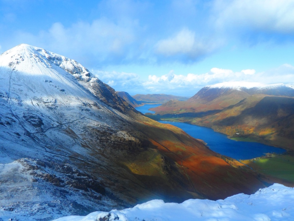 ChallengingFleetwith Pike and Haystacks12.3 km · 4.5 hr · At the trailheadHidden tarns, quarry ruins and two summits high above Buttermere
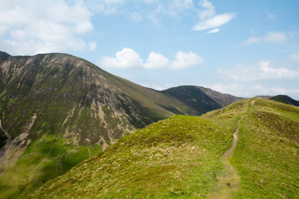 ModerateKnott Rigg and Ard Crags5.6 km · 2.5 hr · 2.6 km awayShort grassy ridge above Newlands with wide Buttermere and valley views
 EasyButtermere Circular7.6 km · 3 hr · 2.8 km awayLevel shore loop under high fells, through woodland and a rock tunnel
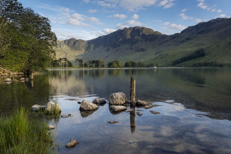 ModerateButtermere Lakeshore3.7 km · 1.5 hr · 2.8 km awayLakeshore views, woodland, rough ground, and a practical bus return
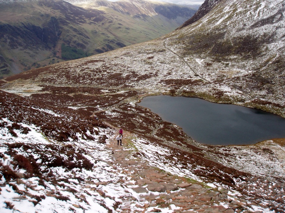 ChallengingBleaberry Tarn, Red Pike and Dodd7.2 km · 4 hr · 2.8 km awayCorrie tarn, loose red scree, two summits above Buttermere
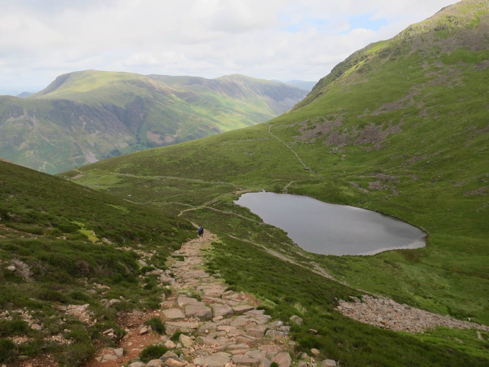 ModerateBleaberry Tarn above Buttermere5 km · 2 hr · 2.8 km awayA steep stone staircase to a quiet tarn beneath mountain crags
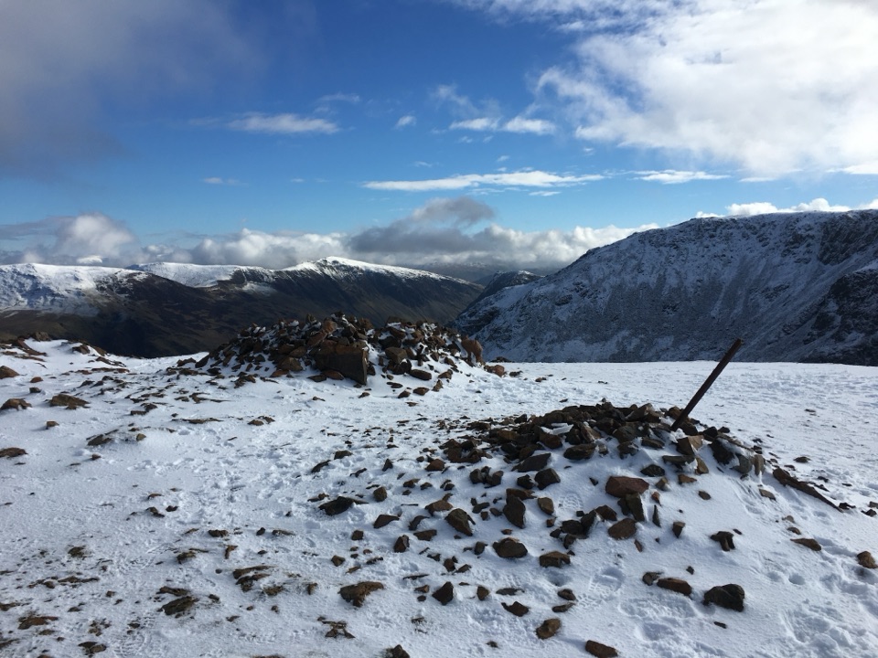 ChallengingThe Buttermere Edge13.5 km · 5.5 hr · 2.8 km awayStone-pitched climb to a rocky ridge above Ennerdale and Crummock Water
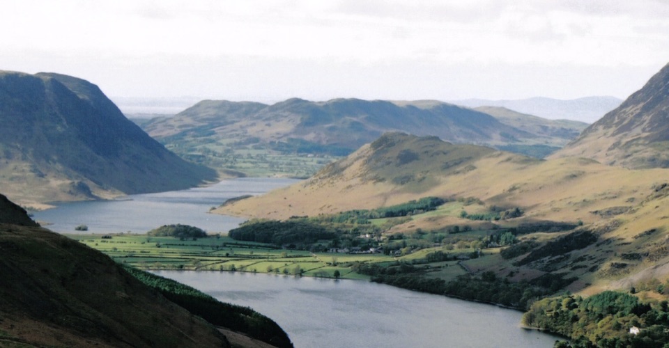 ModerateRannerdale Knotts5.1 km · 2.5 hr · 2.8 km awayA short steep climb to a rocky ridge above Crummock Water
 Sight · 1.4 km awayButtermereA calm mountain lake ringed by high fells and an easy circuit
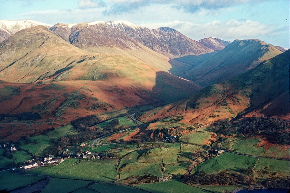 Sight · 2.7 km awayButtermere VillageA tiny hamlet framed by lakes, farms, and dramatic western fells
 Sight · 3.3 km awayHonister Slate MineExplore England's last working slate mine beneath a mountain pass
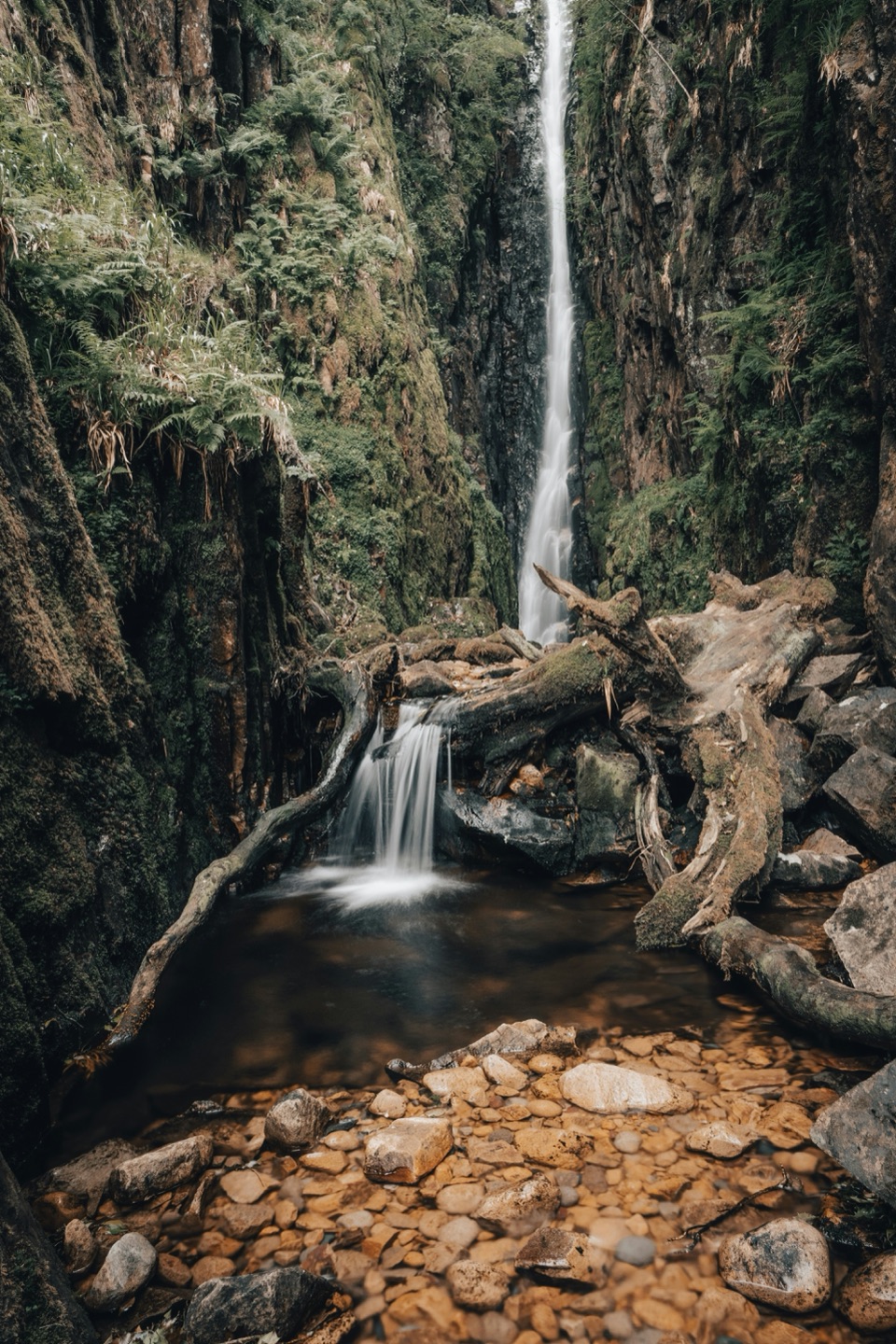 Sight · 4.9 km awayScale ForceThe Lakes' tallest single drop thunders through a mossy gorge
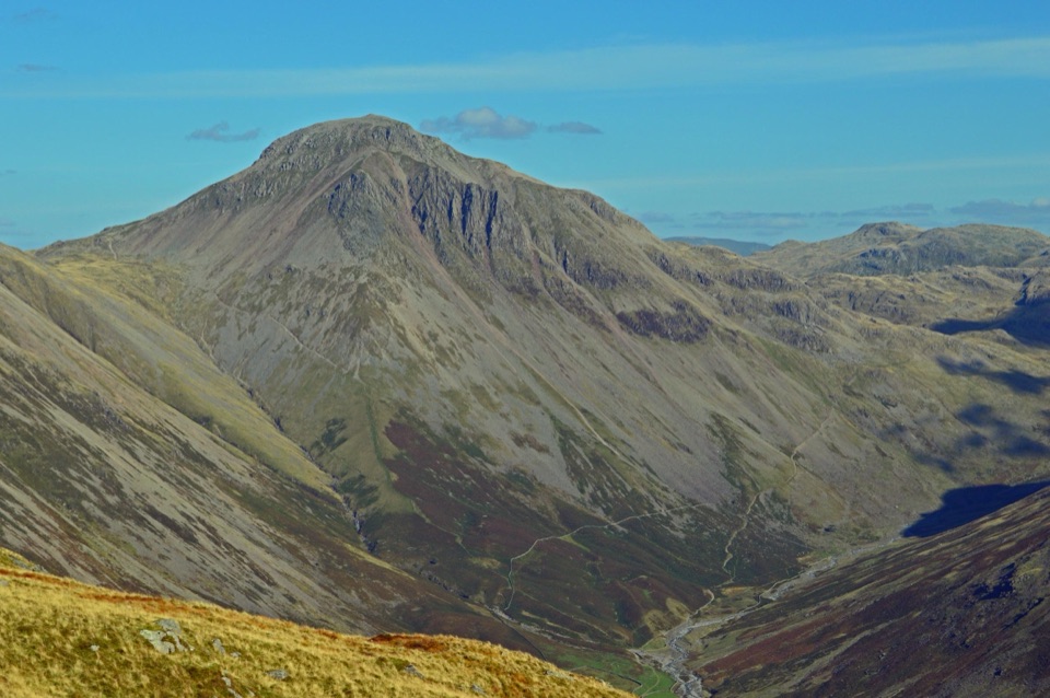 Sight · 4.9 km awayGreat GableA rocky summit with wide views and a storied climbing heritage
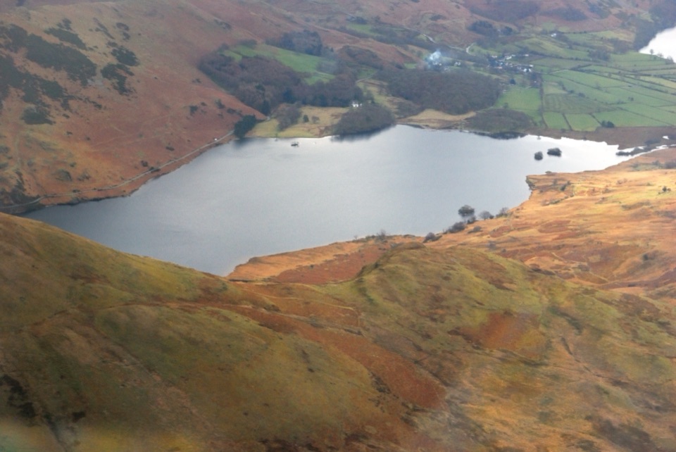 Sight · 5.3 km awayCrummock WaterA clear lake beneath an amphitheater of rugged western fells
 Sight · 6.1 km awayThe Bowder StoneA 2,000-tonne boulder balanced above a woodland path
 Sight · 6.9 km awayCat BellsA short rocky climb to a huge Derwentwater panorama
Parkwolf’s Lake District ranking
The audio tour guide for the drive, plus offline maps, trails, and wildlife heatmaps for when the signal drops.




