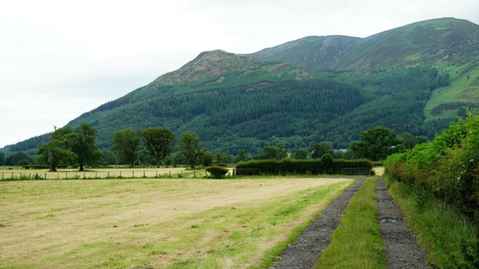
Allerdale Ramble in Lake District National Park

Lake District National Park, EN

Allerdale Ramble

Fell tops to Solway saltmarsh on a 50-mile unmarked coast-bound trek

Photo: Wikimedia Commons
Length
80.5km
Time
23hr
Elev. change
263m
Difficulty
Challenging
  • Dogs allowed
  • High point 263 m
  • #88 of 265 in Lake District

Hear the audio tour

Seathwaite and the Corridor Route

Overview

About Allerdale Ramble

Why go

  • A genuinely varied coast-to-fells crossing
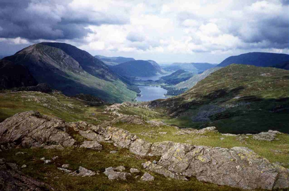
  • Strong contrast between Borrowdale, farmland, and the Solway shore

Heads up

  • Unmarked route demands confident map reading
  • Point-to-point logistics and multi-day length add friction
The Cumbria Way offers a more established long-distance route on a different line, while a short circuit around Derwent Water or Borrowdale makes a manageable single day. Optional variants over Skiddaw or through Cockermouth exist for those who want them; the Skiddaw option adds a serious mountain detour, and neither variant forms part of the route described here.
Parkwolf’s verdictAlternatives worth considering

Map & elevation

The route

Loading the Lake District map
Full map
Elevation0–263 m
TrailheadSeathwaite hamlet54.49872, -3.18305
Keep this map with you offline in the Parkwolf app

Plan your hike

Before you go

Parking

Start at Seathwaite hamlet in Borrowdale. Roadside parking is very limited and must leave farm and emergency access clear. The practical alternative is Seatoller car park, about one mile away, with toilets and a bus stop; walk the remaining approach to Seathwaite. The finish is at Grune Point near Skinburness and Silloth, so arrange transport between ends.


Safety

This is a hard, unmarked long-distance route with rough or wet ground, field gates, exposed fell sections, and route-finding at unmarked junctions. Keep dogs under close control around livestock and farms; seasonal leads apply on open-access land. Carry detailed maps or a reliable GPX, and expect long stretches without facilities or resupply.

8 active Lake District alerts

  • ClosureChapel Stile footpath closed for retaining-wall riskPart of Footpath 543030 between Chapel Stile and Baysbrown campsite is closed because a retaining wall beside the path could collapse and material it supports could fall across the footpath.Official details
  • ClosureStanley Ghyll Lower Falls footpath closed for rockfallThe section of Footpath 408037 leading towards Stanley Ghyll Lower Falls is closed because severe rockfall damage has made the path unstable and further rockfall remains a danger.Official details
See all 8 alerts
A park ranger sits on a dash-mounted phone, talking, as Parkwolf’s Tour Guide plays “Army Cutworm Moths: A Grizzly Bear Buffet” on Grand Loop Road below Dunraven Pass in Yellowstone
Parkwolf Tour GuideThe highest, rockiest slopes around here are a summer buffet for grizzly bears.

Lake District Tour Guide

Your drive to Allerdale Ramble, narrated.

Parkwolf is a GPS audio tour guide for Lake District National Park. As you drive, it chimes in with what’s ahead: hidden gems, upcoming stops, history, geology, and wildlife, right through your car’s speakers.

Recorded for this trailhead

Seathwaite and the Corridor Route
0:00 / 1:01
“You're approaching Seathwaite, the starting point for the Corridor Route up Scafell Pike.”

Plays as you drive up to this trailhead in the Parkwolf Lake District Tour Guide.

More stories near here in the app

  • Honister: Inside the Slate Mountain
  • Seatoller: Castle Crag or Waterfall Walk
  • Stonethwaite: Galleny Force and Black Moss Pot
  • Rosthwaite: Dock Tarn and Great Crag
  • 298 audio storiesacross Lake District’s roads, triggered by GPS as you drive
  • Wildlife heatmapsfor Red Deer, Eurasian Otter, Osprey, and 13 more
  • Works offlinemaps, 265 trails, 89 places, and audio download before you lose signal
  • CarPlay readysimple controls built for the drive
★★★★★
“Fantastic app with many points of information… It’s great to just turn on while you’re driving and it gives you an audio tour of the national Park. We love it!!!!”
JMJamesApp Store review
Download Parkwolf on the App StoreGet Parkwolf on Google Play

4.7 from 8,600+ ratings

Trail guide

Hiking Allerdale Ramble

A 50-mile walk from valley head to open seaThis is a linear point-to-point long-distance walk, 50 miles (about 80 km) one way, running…

This is a linear point-to-point long-distance walk, 50 miles (about 80 km) one way, running from Seathwaite hamlet in Borrowdale to Grune Point on the Solway Firth. There is no return leg, so treat it as a journey rather than a circuit: roughly 23 hours of walking, normally spread over 3 to 5 days depending on daily mileage, transport and stops.

How the miles unfoldThe appeal is the contrast, from crowded high fells to empty tidal shore, and the walk is…

The appeal is the contrast, from crowded high fells to empty tidal shore, and the walk is generally quieter than better supported national trails.

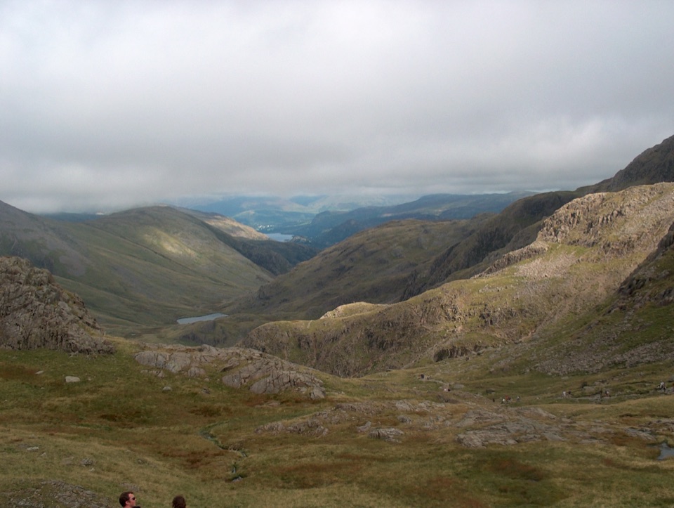
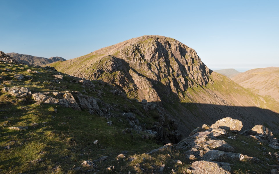
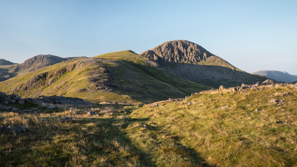
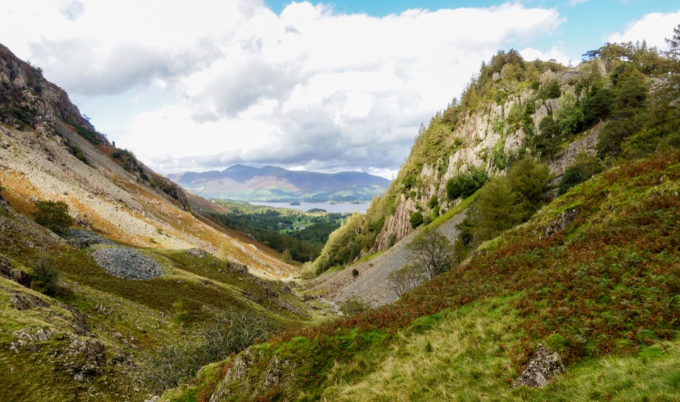
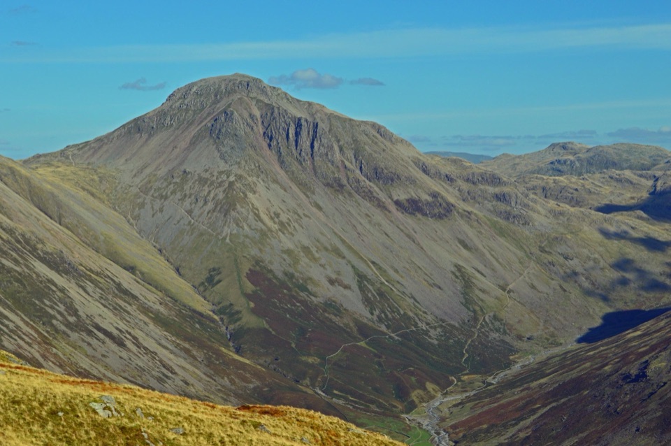
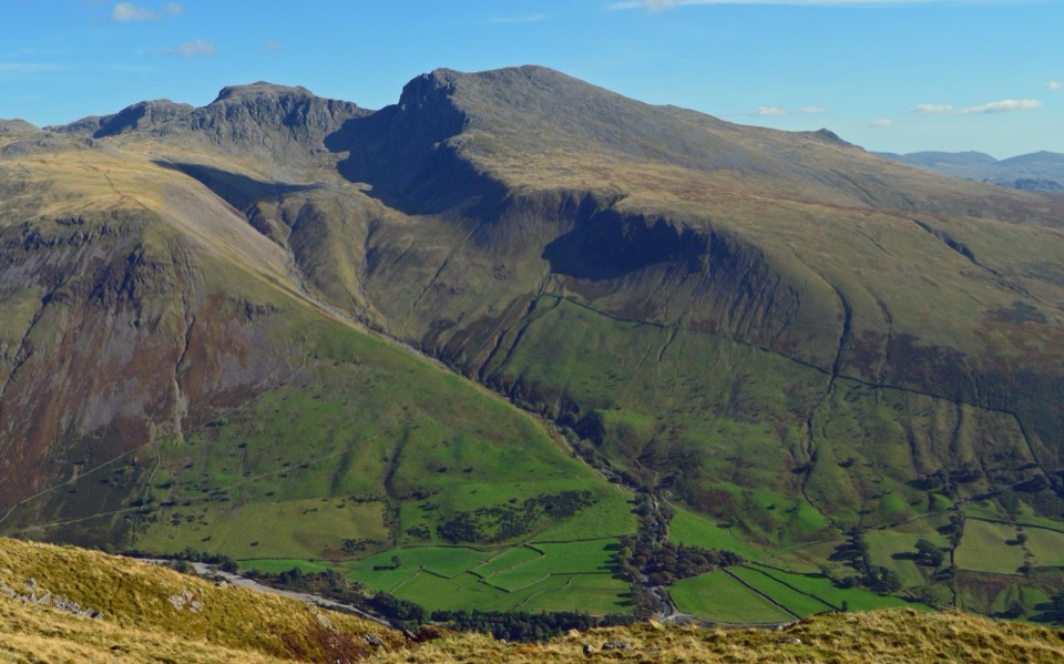
  • Borrowdale to Derwent Water: steep fellsides above the valley, then the quieter west side of the lake to Hawes End
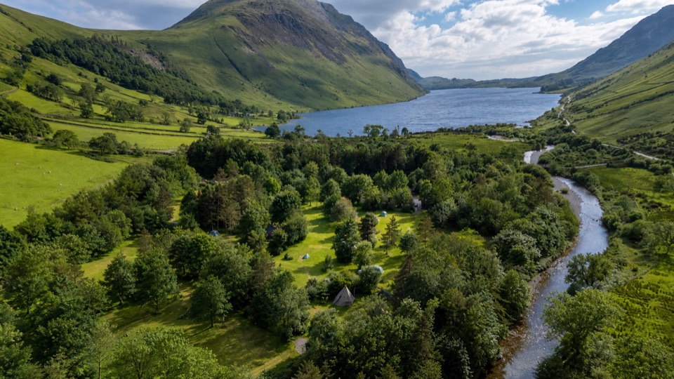
  • Bassenthwaite and Scarness: lake shore and woodland giving way to northern lowlands
  • North and west to the A595 near Cockermouth: farmland, hedged lanes, field paths and gates
  • Maryport to Grune Point: harbour and industrial heritage, then the open coast past Swarthy Hill and Beckfoot
Effort and surfacesHard overall, about 7 out of 10.

Hard overall, about 7 out of 10. Cumulative climbing is around 1,129 m, but the real demand comes from distance, consecutive days, mixed ground and navigation rather than any technical scrambling. Expect rough and sometimes wet fell paths early on, then farm tracks, field paths, lanes, woodland and coastal paths. The Borrowdale section is exposed with little shelter; the lowland and coastal miles are much flatter.

Unmarked, so navigate carefullyThe named route is no longer waymarked and no longer appears as an endorsed long-distance path…

The named route is no longer waymarked and no longer appears as an endorsed long-distance path on current mapping, though it follows definitive public rights of way for its whole length. Carry detailed maps or a reliable GPX track, and expect unsigned junctions, gates and stretches where the line is not obvious on the ground.

Getting to the start and away from the finishRoadside space at Seathwaite is very constrained and needs to stay clear for farm, emergency…

Roadside space at Seathwaite is very constrained and needs to stay clear for farm, emergency and local access. The established alternative is Seatoller car park, roughly a mile away, with toilets and a bus stop served regularly from Keswick, leaving the last approach to Seathwaite on foot. The finish at Grune Point lies near Skinburness and Silloth, so point-to-point transport planning matters as much as the walking.

Practicalities on the waySupplies: long gaps between shops and cafes, so carry food and water for each day
  • Supplies: long gaps between shops and cafes, so carry food and water for each day
  • Dogs: allowed on the public rights of way, kept under close control around livestock and farmyards, with seasonal lead requirements on open access land
  • Hazards: farm traffic and gates, rough or boggy ground, exposure on the fell section, and uneven or muddy shore paths
The Solway endingThe final miles trade fells for saltmarsh, dunes and wide tidal horizons, closing along the low…

The final miles trade fells for saltmarsh, dunes and wide tidal horizons, closing along the low spit of Grune Point. Shore conditions shift, so stay on the signed public path and follow local access notices.

Wildlife

Wildlife in Lake District

All Lake District wildlife maps

Sighting maps show where each species has been reported across Lake District. Wildlife moves, so no sighting is guaranteed.

Keep exploring

Near Allerdale Ramble

See it all on the map

Trails that start nearby

Places near the trailhead

Parkwolf’s Lake District ranking

Top-rated trails in Lake District

All 265 trails
  1. 1Scafell Pike via Hollow Stones from WasdaleChallenging · 9 km
  2. 2Helvellyn via Striding Edge and Swirral EdgeChallenging · 12.4 km
  3. 3CatbellsModerate · 6.6 km
  4. 4The Old Man of ConistonChallenging · 9 km
  5. 5Buttermere CircularEasy · 7.6 km
  6. 6The Fairfield HorseshoeChallenging · 17.2 km

Take Parkwolf to Lake District.

The audio tour guide for the drive, plus offline maps, trails, and wildlife heatmaps for when the signal drops.

4.7 from 8,600+ ratings

Download Parkwolf on the App StoreGet Parkwolf on Google Play