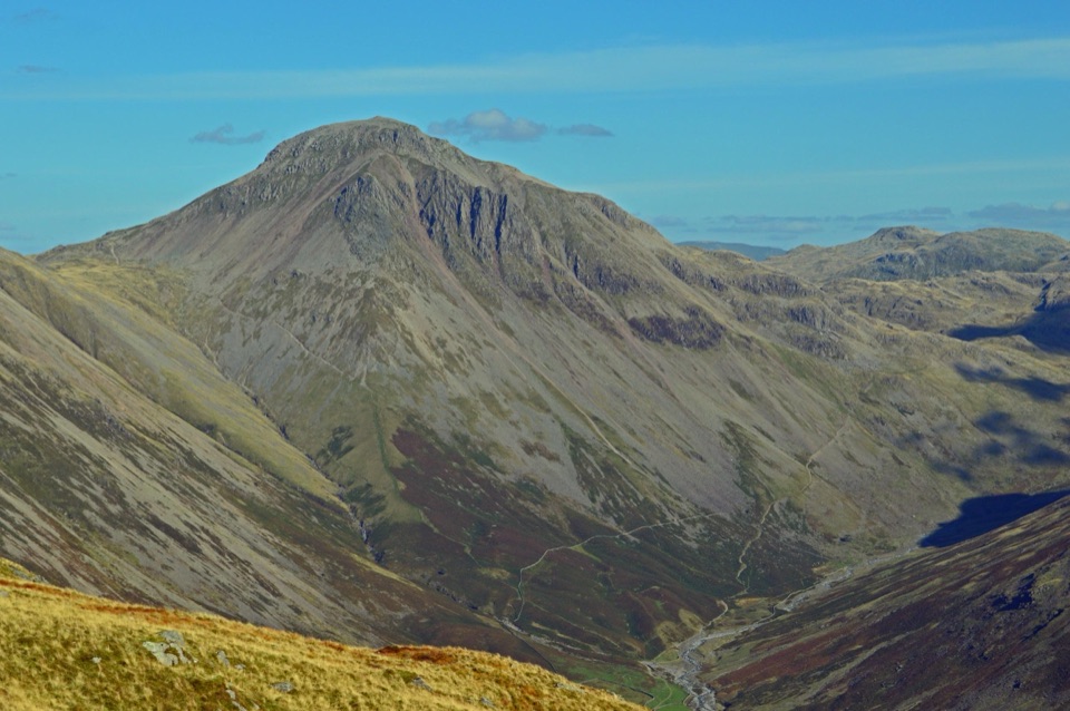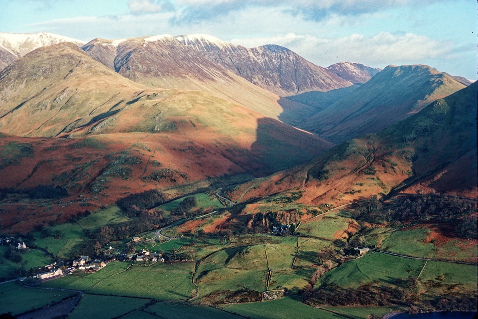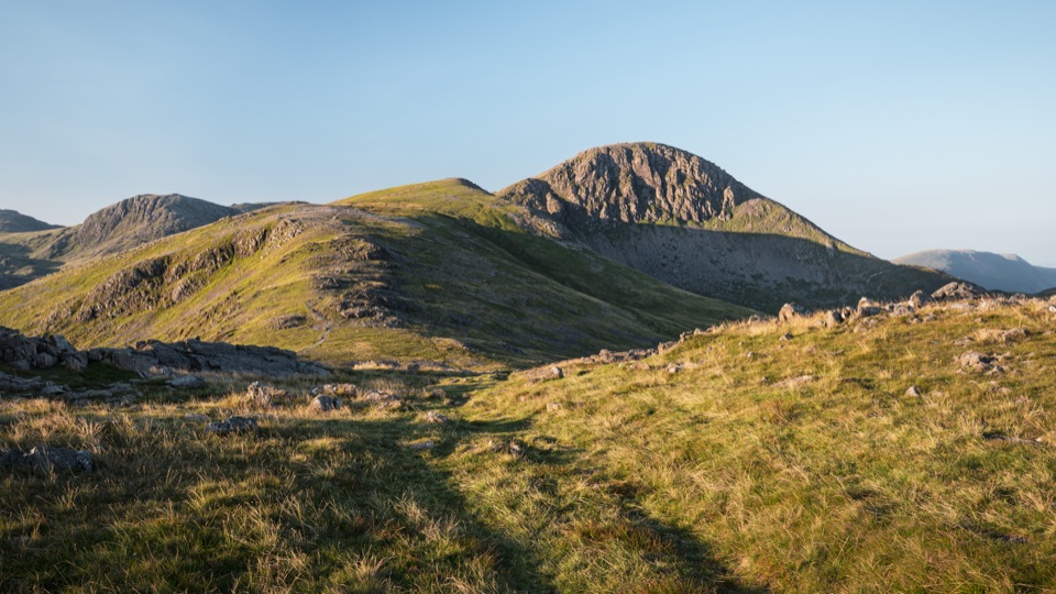
Great Gable from Honister Pass in Lake District National Park

Lake District National Park, EN

Great Gable from Honister Pass

Four rocky summits, big valley views, and a serious high fell day

Photo: Wikimedia Commons
Length
10.5km
Time
4.5hr
Elev. change
530m
Difficulty
Challenging
  • Loop
  • Dogs allowed
  • High point 881 m
  • #41 of 265 in Lake District

Hear the audio tour

Honister: Inside the Slate Mountain

Overview

About Great Gable from Honister Pass

Why go

  • Four summits without a valley-level start
  • Moses Trod and high ridge views add variety

Heads up

  • Rough, exposed ground with loose rock
  • Remote access and difficult mist navigation
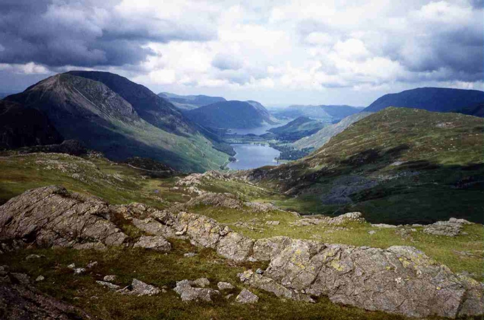
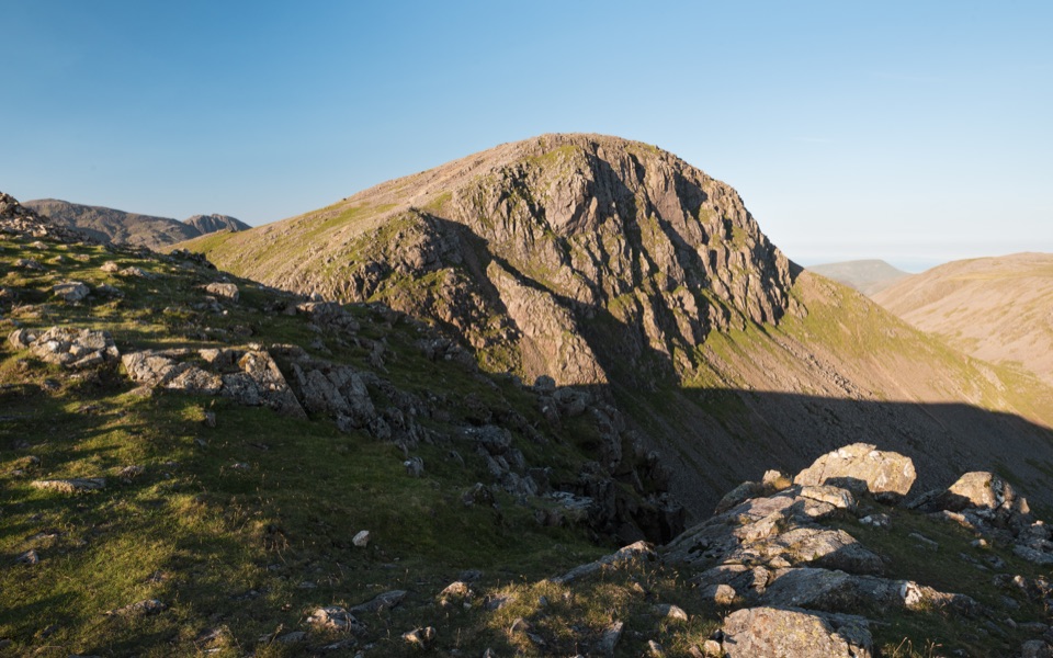
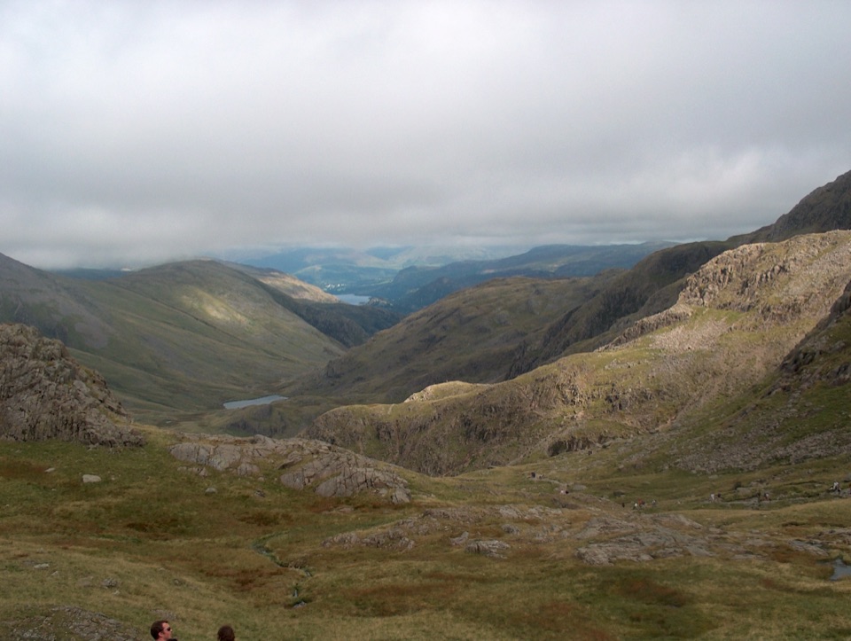
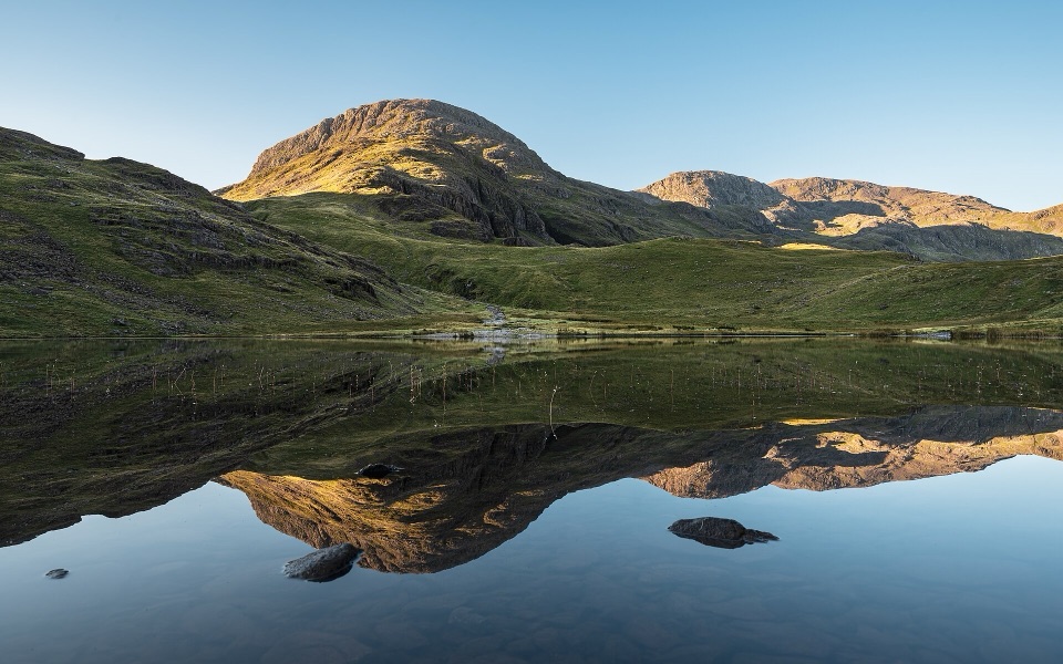
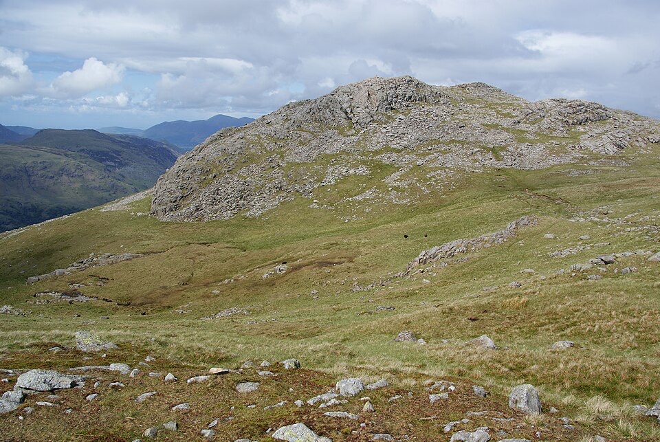
Head west on the broad quarry access track, then pick up the path climbing toward Drum House. From there Moses Trod traverses quietly across the fellside, a welcome break from steep work, before the ground steepens toward Windy Gap and the rocky pull onto Great Gable. The summit is a boulder-strewn plateau with a memorial plaque set into the rock. The return stays high over Green Gable, Brandreth and Grey Knotts, with long views over Buttermere, Ennerdale, Borrowdale and the western fells almost the whole way back down to the pass.
Parkwolf’s verdictThe sequence and the payoff

Map & elevation

The route

Loading the Lake District map
Full map
Elevation351–881 m
TrailheadHonister Pass National Trust Car Park54.51131, -3.19730
Keep this map with you offline in the Parkwolf app

Plan your hike

Before you go

Parking

Use the Honister Pass National Trust car park off the B5289 at the summit between Borrowdale and Buttermere. It sits high and remote with limited facilities, and the approach road is narrow and winding. The trail starts from the pass access near the car park.


Best time to go

Long daylight from late spring through early autumn gives the most margin for slow going. Settled weekends bring the most people, especially around the summits, while the traversing approach often feels quiet. For photographs, early or late light is what you want, when low sun picks out the rock texture on the ridges and the valleys fill with shadow.

Safety

The upper route is exposed and rough, with steep grades, loose rock and little shelter. In poor visibility the cairned paths and junctions around Windy Gap and the summits are difficult to follow. There is no dependable water, and winter snow or ice requires experienced mountain skills.

8 active Lake District alerts

  • ClosureChapel Stile footpath closed for retaining-wall riskPart of Footpath 543030 between Chapel Stile and Baysbrown campsite is closed because a retaining wall beside the path could collapse and material it supports could fall across the footpath.Official details
  • ClosureStanley Ghyll Lower Falls footpath closed for rockfallThe section of Footpath 408037 leading towards Stanley Ghyll Lower Falls is closed because severe rockfall damage has made the path unstable and further rockfall remains a danger.Official details
See all 8 alerts
A park ranger sits on a dash-mounted phone, talking, as Parkwolf’s Tour Guide plays “Army Cutworm Moths: A Grizzly Bear Buffet” on Grand Loop Road below Dunraven Pass in Yellowstone
Parkwolf Tour GuideThe highest, rockiest slopes around here are a summer buffet for grizzly bears.

Lake District Tour Guide

Your drive to Great Gable from Honister Pass, narrated.

Parkwolf is a GPS audio tour guide for Lake District National Park. As you drive, it chimes in with what’s ahead: hidden gems, upcoming stops, history, geology, and wildlife, right through your car’s speakers.

Recorded for this trailhead

Honister: Inside the Slate Mountain
0:00 / 1:10
“You're heading toward Honister Slate Mine at the top of the pass, where you can go inside the mountain as well as enjoy the fells around it.”

Plays as you drive up to this trailhead in the Parkwolf Lake District Tour Guide.

More stories near here in the app

  • Seathwaite and the Corridor Route
  • Seatoller: Castle Crag or Waterfall Walk
  • Gatesgarth: Haystacks and the Mountain Tarns
  • Rosthwaite: Dock Tarn and Great Crag
  • 298 audio storiesacross Lake District’s roads, triggered by GPS as you drive
  • Wildlife heatmapsfor Red Deer, Eurasian Otter, Osprey, and 13 more
  • Works offlinemaps, 265 trails, 89 places, and audio download before you lose signal
  • CarPlay readysimple controls built for the drive
★★★★★
“Fantastic app with many points of information… It’s great to just turn on while you’re driving and it gives you an audio tour of the national Park. We love it!!!!”
JMJamesApp Store review
Download Parkwolf on the App StoreGet Parkwolf on Google Play

4.7 from 8,600+ ratings

Trail guide

Hiking Great Gable from Honister Pass

What you're signing up forA 6.5-mile (10.

A 6.5-mile (10.4 km) complete loop starting from the top of the high pass between Borrowdale and Buttermere, taking in four summits: Great Gable (898.8 m), Green Gable, Brandreth and Grey Knotts. Total climb is about 726 m (2,382 ft), and most people take around 4.5 hours, with 4 to 6 hours realistic depending on pace, footing and how often you stop to work out where the path goes.

Difficulty and footingThis is hard mountain walking, rated 7/10, and not a beginner outing.

This is hard mountain walking, rated 7/10, and not a beginner outing. Beyond the quarry track expect rough, rocky and often wet ground, steep gradients, and loose stone on the approaches to and from Great Gable. A few short spots reward careful foot placement or mild hands-on scrambling. Wear proper boots with grip and ankle support.

Navigation and exposureThe upper route is open and exposed, with little natural shelter and no water you should count…

The upper route is open and exposed, with little natural shelter and no water you should count on. In cloud, the summit paths, cairns and junctions blur together, and you will want competent map-and-compass skills or a confident equivalent. Wind, rain, snow and ice all raise the seriousness of this ground considerably, and winter conditions here demand real experience and kit.

Landscape and heritageThe circuit reads as glacial valleys, rough fell grass and bare exposed rock, with…

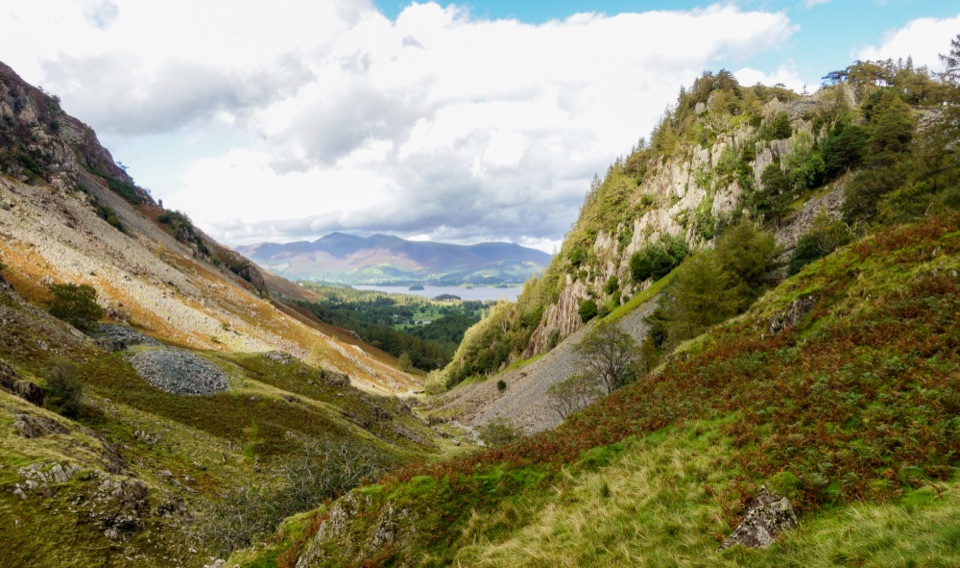
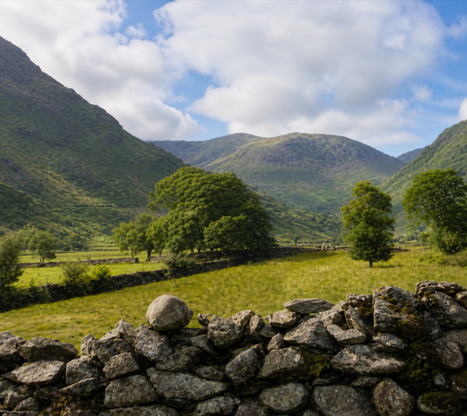
The circuit reads as glacial valleys, rough fell grass and bare exposed rock, with slate-quarrying history sitting right at the start and finish. The sense of height is constant on the return ridge, and the valley views change steadily as you move from Ennerdale round to Borrowdale.

Access, dogs and permitsPark at the car park at the summit of the pass, off the B5289 between the Borrowdale and…

Park at the car park at the summit of the pass, off the B5289 between the Borrowdale and Buttermere valleys, at about 350 m. It sits high and remote with limited facilities, and the approach road is narrow and winding, so drive it patiently. No trail-specific permit was found. Dogs are legally allowed, but the loose rock, exposure and scrambling make this a poor choice for most dogs, and any dog that comes should be kept close near livestock and wildlife.

Honest drawbacksRoute descriptions for this circuit vary a little, roughly 6.1 to 6.

Route descriptions for this circuit vary a little, roughly 6.1 to 6.5 miles, so treat the figure as a working number rather than a precise one. The ground is unrelentingly rough underfoot, there is nowhere to sit out bad weather up high, and a wrong turn in mist costs real time. If you want Great Gable without the four-summit day, the shorter direct approach from Wasdale is a fair alternative, though it is steeper and still a serious mountain climb.

Wildlife

Wildlife in Lake District

All Lake District wildlife maps

Sighting maps show where each species has been reported across Lake District. Wildlife moves, so no sighting is guaranteed.

Keep exploring

Near Great Gable from Honister Pass

See it all on the map

Trails that start nearby

Places near the trailhead

Parkwolf’s Lake District ranking

Top-rated trails in Lake District

All 265 trails
  1. 1Scafell Pike via Hollow Stones from WasdaleChallenging · 9 km
  2. 2Helvellyn via Striding Edge and Swirral EdgeChallenging · 12.4 km
  3. 3CatbellsModerate · 6.6 km
  4. 4The Old Man of ConistonChallenging · 9 km
  5. 5Buttermere CircularEasy · 7.6 km
  6. 6The Fairfield HorseshoeChallenging · 17.2 km

Take Parkwolf to Lake District.

The audio tour guide for the drive, plus offline maps, trails, and wildlife heatmaps for when the signal drops.

4.7 from 8,600+ ratings

Download Parkwolf on the App StoreGet Parkwolf on Google Play