Parking
Start at Honister Pass National Trust Car Park, off the B5289 at the top of the pass. The walk ends at Grange Bridge bus stop, so plan a seasonal bus connection back or arrange a second vehicle; do not expect a loop back to the car.
Lake District National Park, EN
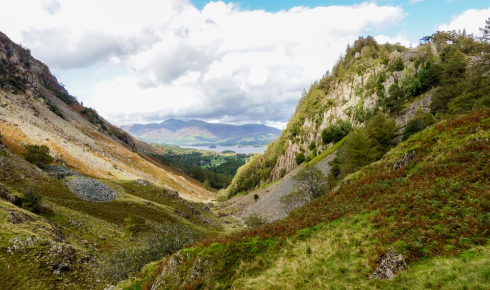
Downhill from slate country to Borrowdale riverside and Grange Bridge
Overview
Map & elevation
Plan your hike

The highest, rockiest slopes around here are a summer buffet for grizzly bears.
Lake District Tour Guide
Parkwolf is a GPS audio tour guide for Lake District National Park. As you drive, it chimes in with what’s ahead: hidden gems, upcoming stops, history, geology, and wildlife, right through your car’s speakers.
Recorded for this trailhead
Honister: Inside the Slate Mountain“You're heading toward Honister Slate Mine at the top of the pass, where you can go inside the mountain as well as enjoy the fells around it.”
Plays as you drive up to this trailhead in the Parkwolf Lake District Tour Guide.
More stories near here in the app
“Fantastic app with many points of information… It’s great to just turn on while you’re driving and it gives you an audio tour of the national Park. We love it!!!!”


Trail guide
This is a point-to-point linear walk, 7.52 km / 4.67 mi one way, from the Honister Pass National Trust car park down to the Grange Bridge bus stop. It is not a loop, and it is downhill overall: you start around 363 m at the top of the pass and finish near 78 m in the valley. GPS and mapping apps often read a little longer, closer to 7.8 km, which is normal for a route with this much twisting descent.
Worth being clear about this: the walk keeps going past Stang Dub. Shorter versions of the same descent stop there, so if you are aiming for Grange Bridge, plan for the full 7.52 km.
Rated easy for the effort involved, mostly because gravity is doing the work, but it is not a smooth or accessible path. Expect rough fell track, stony ground, some road and track sections, and one steep rocky section with a fixed chain to hold. That chain and the rock around it get slick in the wet, so give it time and care after rain. Typical completion is about 2 hours, and quick walkers manage closer to 1 hour 40. Steady downhill on stony ground is hard on knees and toes, so poles and shoes with real grip earn their place here.
The character changes as you descend. Up top it is quarried fell, all cut slate, spoil and open sky, with Honister Slate Mine still working the green Westmorland slate that gives the area its colour. Lower down you get the gill, riverside pasture and the oakwoods of Borrowdale, including Johnny Wood and High Stile Wood near the valley floor. There are short rolling rises in the second half, so the profile is not a pure downhill line.
Dogs are welcome on this route and across Borrowdale and Derwent Water. Keep them on a short lead around sheep and other livestock, in close control elsewhere, and be mindful of ground-nesting birds and burrowing animals on the open fell.
Start at the Honister Pass National Trust car park, off the B5289 at the top of the pass, reached by steep road either side. It is pay and display, and overnight parking or sleeping is not allowed. The honest tradeoff with this walk is that the easy downhill direction leaves you 7.5 km from your car and several hundred metres below it. Options:
Sort the return before you start walking. Climbing back up the pass on foot at the end of the day is a much bigger day than the one you signed up for.
Wildlife
 81 sightingsRed DeerMost seen around 7 PMSighting map
 13 sightingsEurasian OtterMost seen around 6 AMSighting map
 76 sightingsOspreyMost seen around 8 AMSighting map
 51 sightingsEuropean BadgerMost seen around 8 PMSighting map
 233 sightingsMute SwanMost seen around 6 PMSighting map
 176 sightingsGrey HeronMost seen around 7 AMSighting map
Sighting maps show where each species has been reported across Lake District. Wildlife moves, so no sighting is guaranteed.
Keep exploring
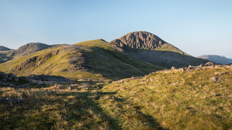 ChallengingGreat Gable from Honister Pass10.5 km · 4.5 hr · At the trailheadFour rocky summits, big valley views, and a serious high fell day
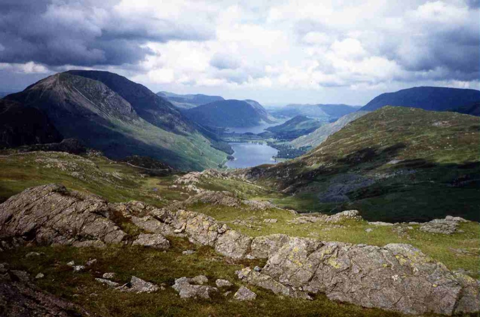 ModerateGrey Knotts and Brandreth Circular7.6 km · 3.3 hr · At the trailheadRocky fell tops, old mine workings, and wide views over Buttermere
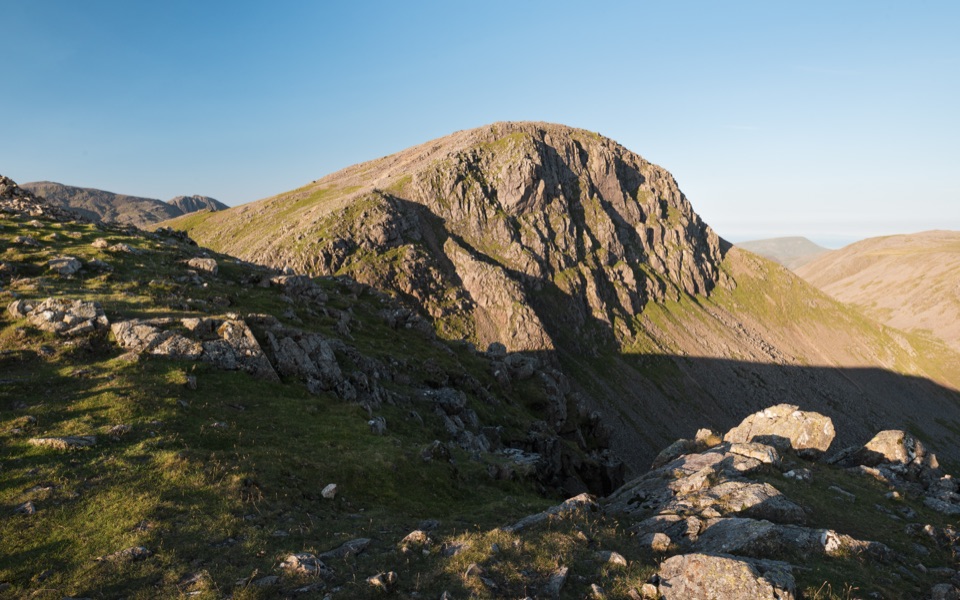 ChallengingBase Brown, Green Gable, Great Gable and Seathwaite Fell11.7 km · 6.5 hr · 1.7 km awayFour summits, scrambling and tarns on a hard 7.3-mile Borrowdale circuit
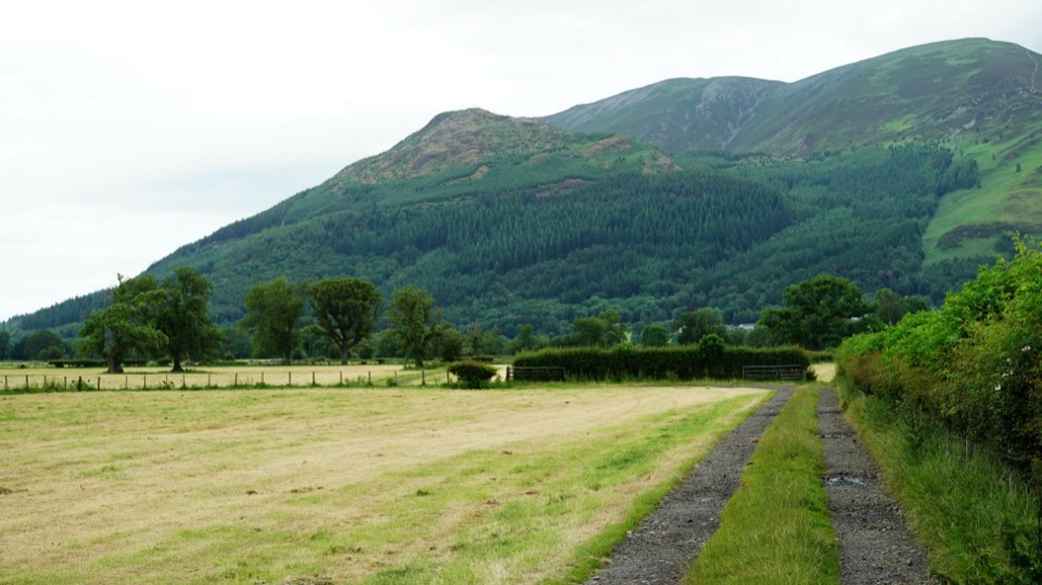 ChallengingAllerdale Ramble80.5 km · 23 hr · 1.7 km awayFell tops to Solway saltmarsh on a 50-mile unmarked coast-bound trek
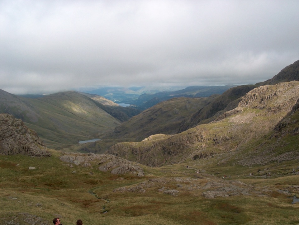 ChallengingScafell Pike from Seathwaite via the Corridor Route15.1 km · 6 hr · 1.7 km awayLedges under Great End, a hands-on Bad Step, then England's high point
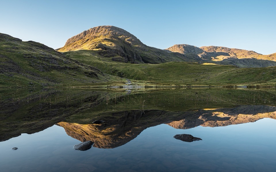 ChallengingSeatoller, Styhead Tarn and Grains Gill Walk13.4 km · 5 hr · 2 km awayTwo high tarns and a rugged fell circuit above Borrowdale
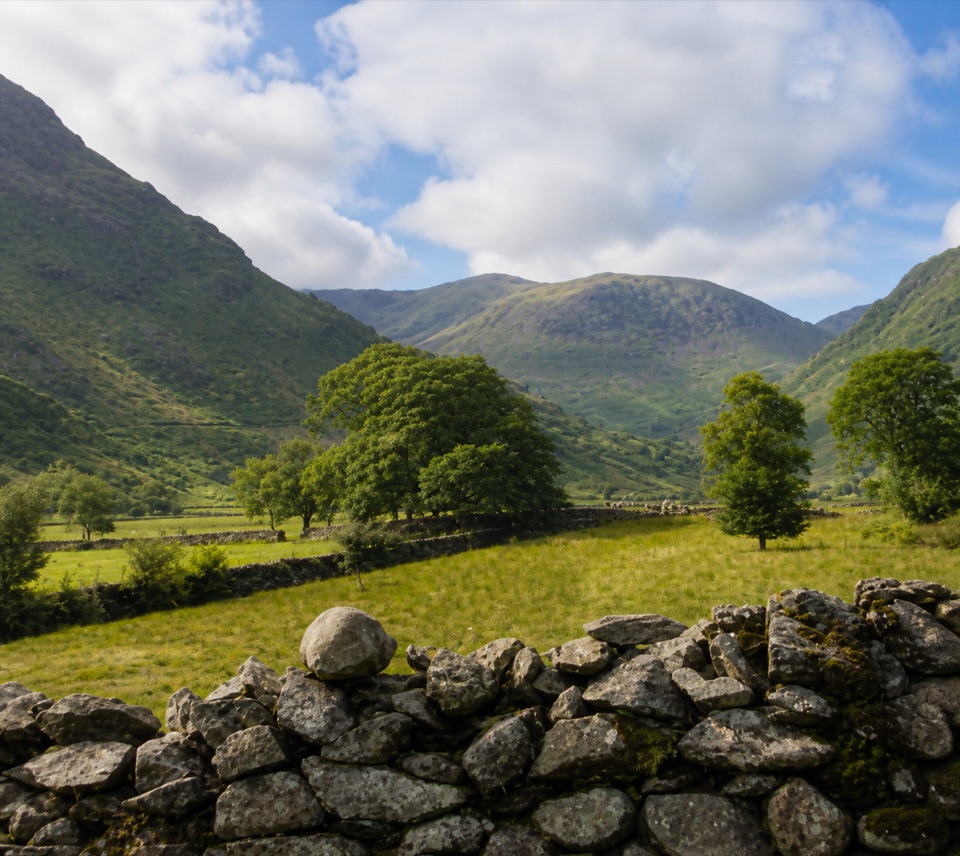 EasyThorneythwaite Farm Picnic and Waterfall Walk3.7 km · 1.2 hr · 2 km awayA short farm-to-fell walk ending at a waterfall beneath Coombe Crag
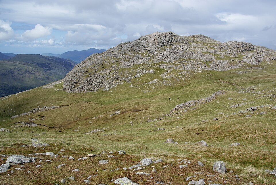 ChallengingThe Glaramara Wainwrights16.6 km · 6.5 hr · 2 km awayThree Wainwright summits across a rough, pathless ridge
 Sight · 0.1 km awayHonister Slate MineExplore England's last working slate mine beneath a mountain pass
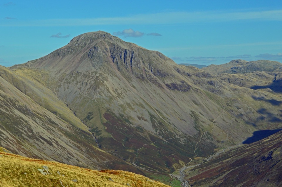 Sight · 3.5 km awayGreat GableA rocky summit with wide views and a storied climbing heritage
 Sight · 4 km awayThe Bowder StoneA 2,000-tonne boulder balanced above a woodland path
 Sight · 4.8 km awayButtermereA calm mountain lake ringed by high fells and an easy circuit
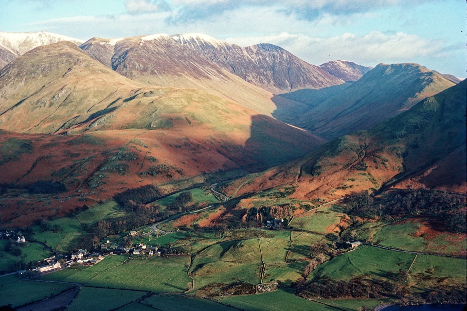 Sight · 6.1 km awayButtermere VillageA tiny hamlet framed by lakes, farms, and dramatic western fells
 Sight · 6.4 km awayScafell PikeEngland's highest summit, reached over a rough, weathered boulder field
 Sight · 6.5 km awayLodore FallsA wooded ravine where Watendlath Beck tumbles toward Derwentwater
 Sight · 6.6 km awayCat BellsA short rocky climb to a huge Derwentwater panorama
Parkwolf’s Lake District ranking

The audio tour guide for the drive, plus offline maps, trails, and wildlife heatmaps for when the signal drops.





