Parking
Start at Honister Pass Car Park off the B5289 at the summit of Honister Pass (grid reference NY225135). It has about 40 spaces, pay-and-display parking, and public toilets. This is the correct start for the loop.
Lake District National Park, EN
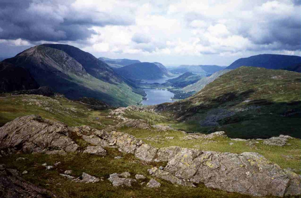
Rocky fell tops, old mine workings, and wide views over Buttermere
Overview
The summits are a compact pair of high, rocky fells rather than separate destinations. Expect open views toward Buttermere, Crummock Water, Ennerdale, and the Gables, plus small tarns, old fence lines, and the slate-quarry landscape. The return drops beside the fence to Great Round How, joins the path toward Dubs Quarry, crosses Warnscale Beck, and passes Dubs Hut before rejoining the lower tramway.
 Parkwolf’s verdictThe payoff
Map & elevation
Plan your hike

The highest, rockiest slopes around here are a summer buffet for grizzly bears.
Lake District Tour Guide
Parkwolf is a GPS audio tour guide for Lake District National Park. As you drive, it chimes in with what’s ahead: hidden gems, upcoming stops, history, geology, and wildlife, right through your car’s speakers.
Recorded for this trailhead
Honister: Inside the Slate Mountain“You're heading toward Honister Slate Mine at the top of the pass, where you can go inside the mountain as well as enjoy the fells around it.”
Plays as you drive up to this trailhead in the Parkwolf Lake District Tour Guide.
More stories near here in the app
“Fantastic app with many points of information… It’s great to just turn on while you’re driving and it gives you an audio tour of the national Park. We love it!!!!”


Trail guide
This is a 4.7-mile loop from Honister Pass Car Park, with the stored distance covering the complete circuit. Leave the mine area on the rough track toward the old tramway, climb past the old drum-house foundations, then briefly use the Great Gable path before taking a grassy rake to Grey Knotts. From there, follow the fence southwest to Brandreth, staying on the Gillercombe side where the fence misses the summit.
The climb is steady and rough, with loose rock, grass, boggy patches, and several indistinct sections. It is a moderate-to-hard fell walk: technically non-scrambling on this line, but the 464m ascent, exposed high ground, and route-finding in mist make it more serious than its mileage suggests. Allow about 3 to 4 hours with stops. Use a map and compass or a reliable offline map, especially above Grey Knotts and on the return from Brandreth.
Wildlife
 81 sightingsRed DeerMost seen around 7 PMSighting map
 13 sightingsEurasian OtterMost seen around 6 AMSighting map
 76 sightingsOspreyMost seen around 8 AMSighting map
 51 sightingsEuropean BadgerMost seen around 8 PMSighting map
 233 sightingsMute SwanMost seen around 6 PMSighting map
 176 sightingsGrey HeronMost seen around 7 AMSighting map
Sighting maps show where each species has been reported across Lake District. Wildlife moves, so no sighting is guaranteed.
Keep exploring
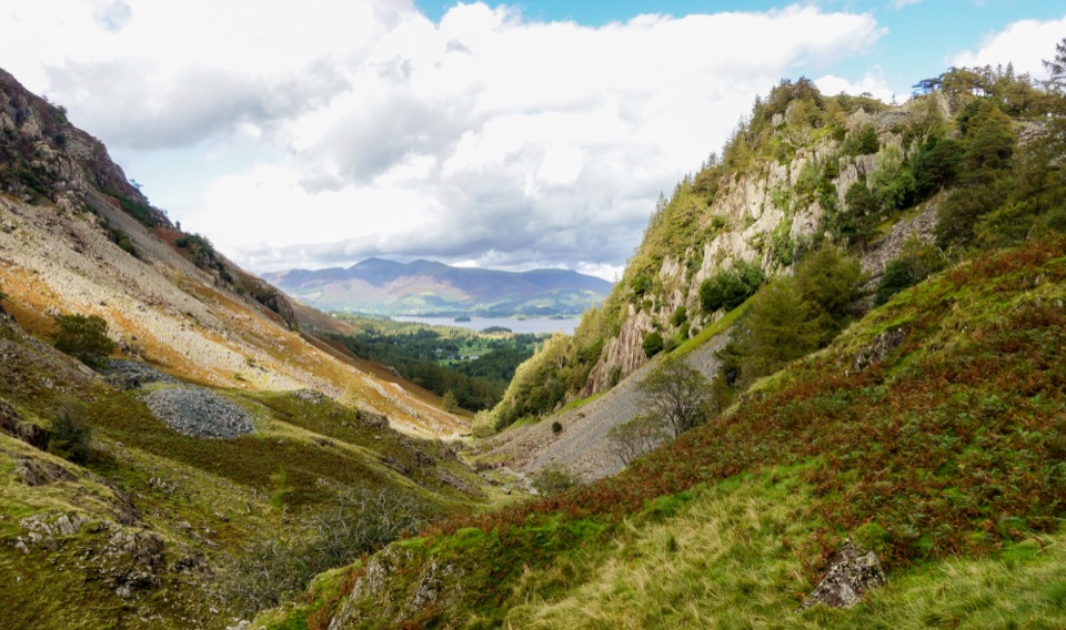 EasyDownstream to Derwent Walk, Borrowdale and Derwent Water7.5 km · 2 hr · At the trailheadDownhill from slate country to Borrowdale riverside and Grange Bridge
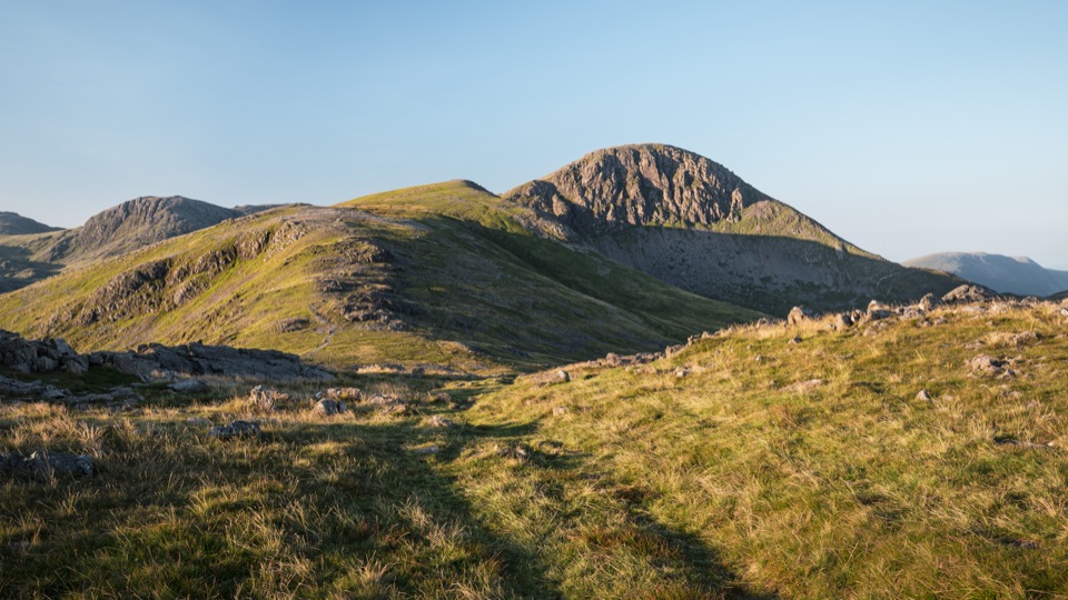 ChallengingGreat Gable from Honister Pass10.5 km · 4.5 hr · 0.1 km awayFour rocky summits, big valley views, and a serious high fell day
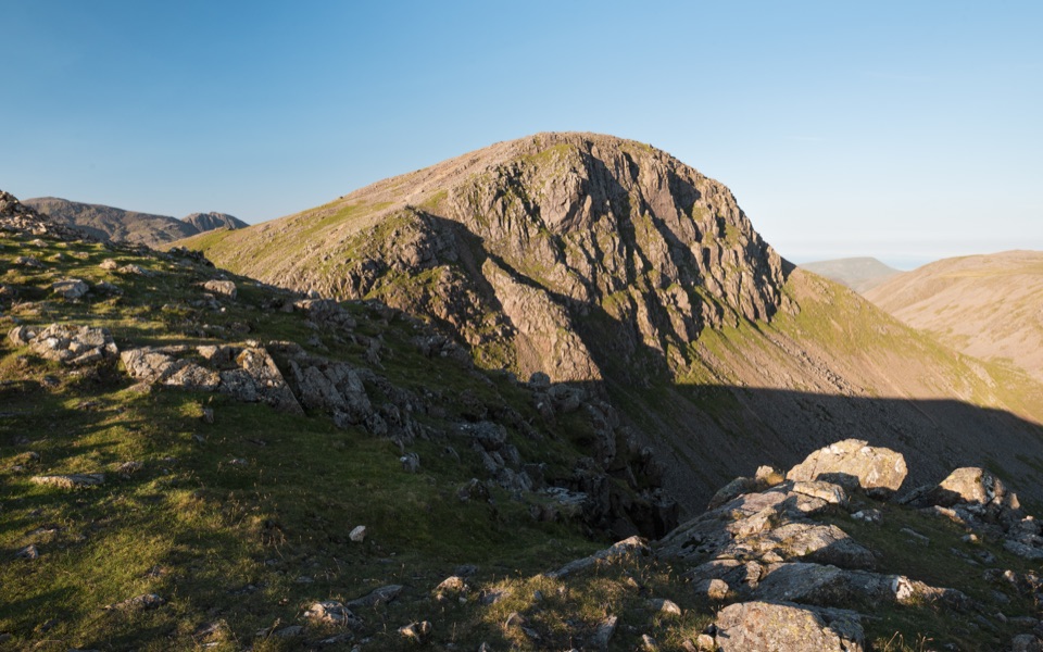 ChallengingBase Brown, Green Gable, Great Gable and Seathwaite Fell11.7 km · 6.5 hr · 1.7 km awayFour summits, scrambling and tarns on a hard 7.3-mile Borrowdale circuit
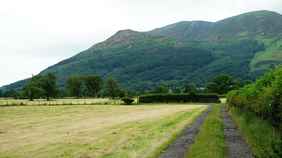 ChallengingAllerdale Ramble80.5 km · 23 hr · 1.7 km awayFell tops to Solway saltmarsh on a 50-mile unmarked coast-bound trek
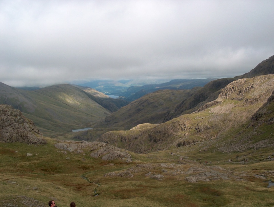 ChallengingScafell Pike from Seathwaite via the Corridor Route15.1 km · 6 hr · 1.7 km awayLedges under Great End, a hands-on Bad Step, then England's high point
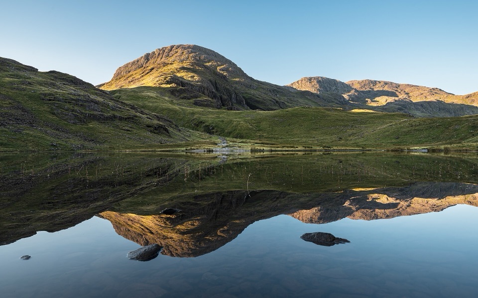 ChallengingSeatoller, Styhead Tarn and Grains Gill Walk13.4 km · 5 hr · 2.1 km awayTwo high tarns and a rugged fell circuit above Borrowdale
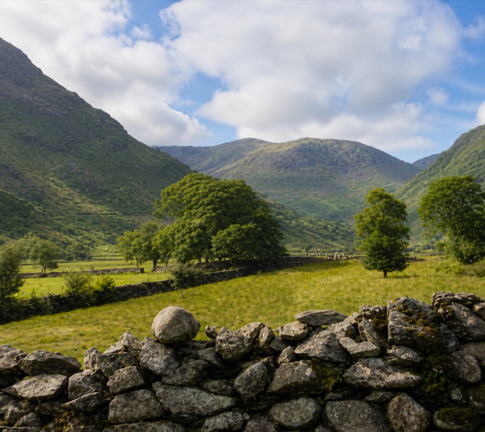 EasyThorneythwaite Farm Picnic and Waterfall Walk3.7 km · 1.2 hr · 2.1 km awayA short farm-to-fell walk ending at a waterfall beneath Coombe Crag
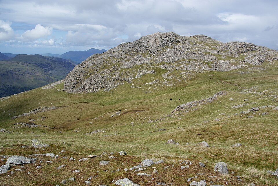 ChallengingThe Glaramara Wainwrights16.6 km · 6.5 hr · 2.1 km awayThree Wainwright summits across a rough, pathless ridge
 Sight · At the trailheadHonister Slate MineExplore England's last working slate mine beneath a mountain pass
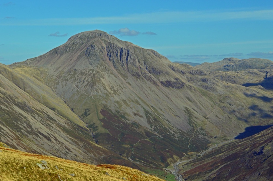 Sight · 3.5 km awayGreat GableA rocky summit with wide views and a storied climbing heritage
 Sight · 4.1 km awayThe Bowder StoneA 2,000-tonne boulder balanced above a woodland path
 Sight · 4.8 km awayButtermereA calm mountain lake ringed by high fells and an easy circuit
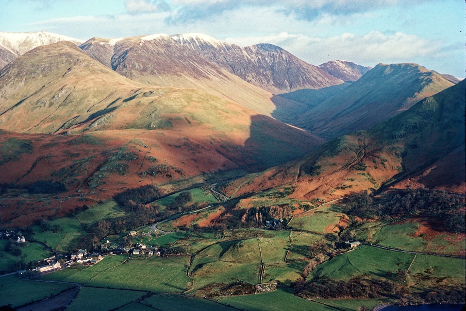 Sight · 6 km awayButtermere VillageA tiny hamlet framed by lakes, farms, and dramatic western fells
 Sight · 6.4 km awayScafell PikeEngland's highest summit, reached over a rough, weathered boulder field
 Sight · 6.5 km awayLodore FallsA wooded ravine where Watendlath Beck tumbles toward Derwentwater
 Sight · 6.6 km awayCat BellsA short rocky climb to a huge Derwentwater panorama
Parkwolf’s Lake District ranking
The audio tour guide for the drive, plus offline maps, trails, and wildlife heatmaps for when the signal drops.





