Parking
Start at Oxen Park Reading Room (Green Hut), Sat Nav LA12 8HG. Abbot Park Farm (LA12 8HW, grid reference SD314881) is the alternative published start; confirm any farm parking arrangement onsite.
Lake District National Park, EN
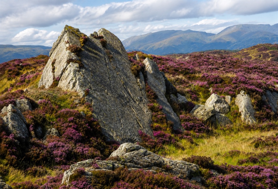
Rough, quiet loop over Bethecar Moor's open fell and Grizedale woods
Overview
Map & elevation
Plan your hike

The highest, rockiest slopes around here are a summer buffet for grizzly bears.
Lake District Tour Guide
Parkwolf is a GPS audio tour guide for Lake District National Park. As you drive, it chimes in with what’s ahead: hidden gems, upcoming stops, history, geology, and wildlife, right through your car’s speakers.
Recorded for this trailhead
Oxen Park: The Bethecar Moor Loop“You're approaching Oxen Park, the starting point for a long, quiet walk across Bethecar Moor.”
Plays as you drive up to this trailhead in the Parkwolf Lake District Tour Guide.
More stories near here in the app
“Fantastic app with many points of information… It’s great to just turn on while you’re driving and it gives you an audio tour of the national Park. We love it!!!!”


Trail guide
This is a complete loop, out and back to the same spot, starting and finishing at Oxen Park Reading Room (the Green Hut), Sat Nav LA12 8HG. Total distance as walked from Oxen Park is about 13.0 km / 8.1 miles, roughly 4.5 hours at a steady pace. The published long route measured from Abbot Park Farm is 11.5 km / 7 miles and 4 to 5 hours, with the Oxen Park start adding 1.5 km / 1 mile and about 20 minutes. Difficulty sits at moderate to hard, 6/10.
From the Green Hut you take the access connector out to Abbot Park Farm (Sat Nav LA12 8HW, grid reference SD314881), then climb onto Bethecar Moor, open fell rising to about 300 m / 1,100 ft. The moor is the heart of the day: heather, rock, and layered fells stretching away on all sides. The long variant crosses the exposed top and drops down through Grizedale forest and plantation woodland, passing Ickenthwaite on the way back to Oxen Park. Shorter 6 km and 9.5 km versions of the same trail exist if you want the woods and farmland without the full fell crossing.
The mix is old tracks and lanes, farmland, both old and new woodland, and wild moor. This is sensitive ground, with juniper, bog myrtle, and grass of Parnassus in late summer, plus butterflies, birds, and red deer. Along the way you pass working relics of the fells: a potash kiln, a cairn, a slate-dressing area, and an old packhorse route.
The walk uses public footpaths, public bridleways, quiet public road, and open-access fell. Dogs are welcome under normal countryside rules: keep them under close control, or on a short lead near livestock, horses, and other walkers. After the moor and woodland, check yourself and your dog for ticks.
Wildlife
 81 sightingsRed DeerMost seen around 7 PMSighting map
 13 sightingsEurasian OtterMost seen around 6 AMSighting map
 76 sightingsOspreyMost seen around 8 AMSighting map
 51 sightingsEuropean BadgerMost seen around 8 PMSighting map
 233 sightingsMute SwanMost seen around 6 PMSighting map
 176 sightingsGrey HeronMost seen around 7 AMSighting map
Sighting maps show where each species has been reported across Lake District. Wildlife moves, so no sighting is guaranteed.
Keep exploring
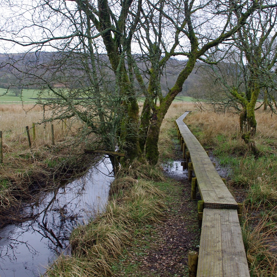 ModerateGreenwood Trail 1: Old Hall Farm to Rusland Moss and Hay Bridge8.7 km · 4.5 hr · 2 km awayA 5.4-mile loop over raised bog boardwalks, coffin road and quiet lanes
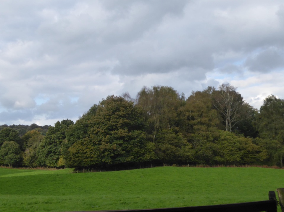 ModerateRusland Valley and Yewbarrow13.7 km · 4.5 hr · 3.2 km awayGunpowder tramway, tidal river fields, ancient yews and open fell views
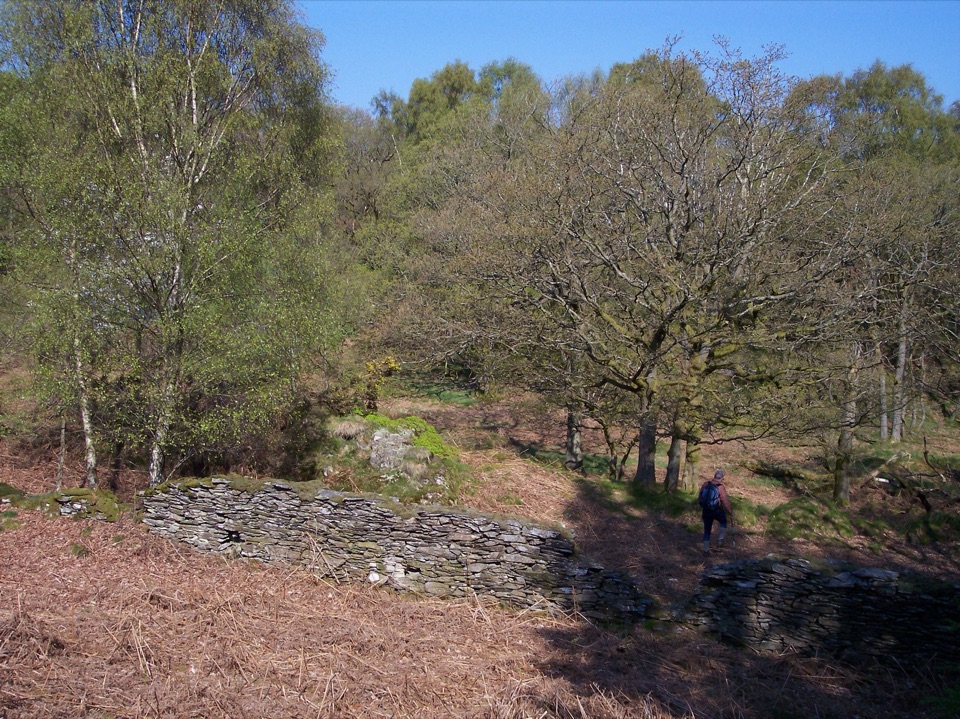 ModerateGreenwood Trail 2: Haverthwaite Heights and Abbots Reading4.8 km · 1.8 hr · 4.1 km awayA muddy woodland circuit with a rewarding farm detour
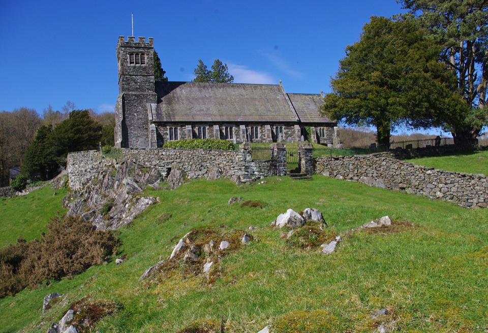 ModerateSatterthwaite and Rusland9.6 km · 3.5 hr · 4.7 km awayForges, ancient woodland and a hilltop church on a rolling forest loop
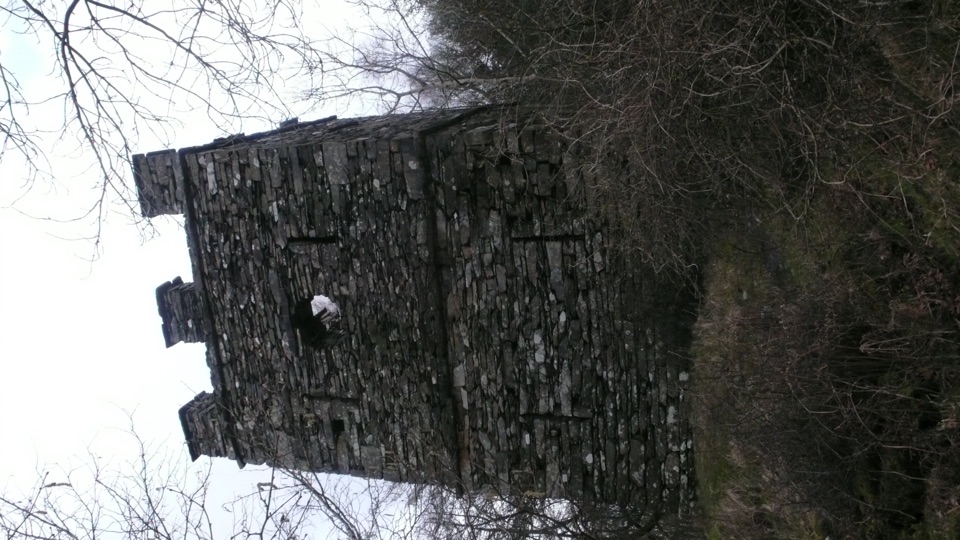 ModerateFinsthwaite Tower and The Knott5.6 km · 1.8 hr · 5.1 km awayA short woodland loop to a 1799 naval memorial tower
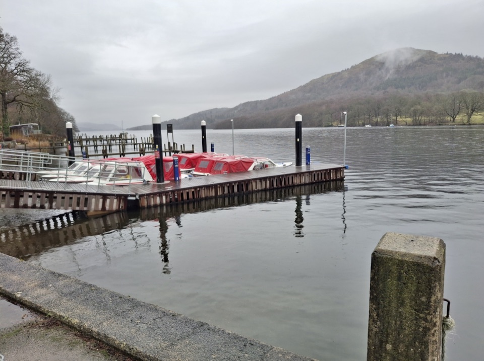 ModerateWest Windermere Way5.9 km · 2.5 hr · 5.2 km awayA short route blending lakeshore, railway, woodland, and fell views
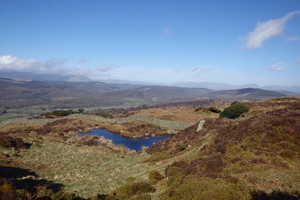 ModerateGreenwood Trail 3: Bobbin Mill to High Dam, Yewbarrow and Finsthwaite10 km · 4.5 hr · 5.5 km awayBobbin Mill to High Dam loop: tarn boardwalk, then open fell views
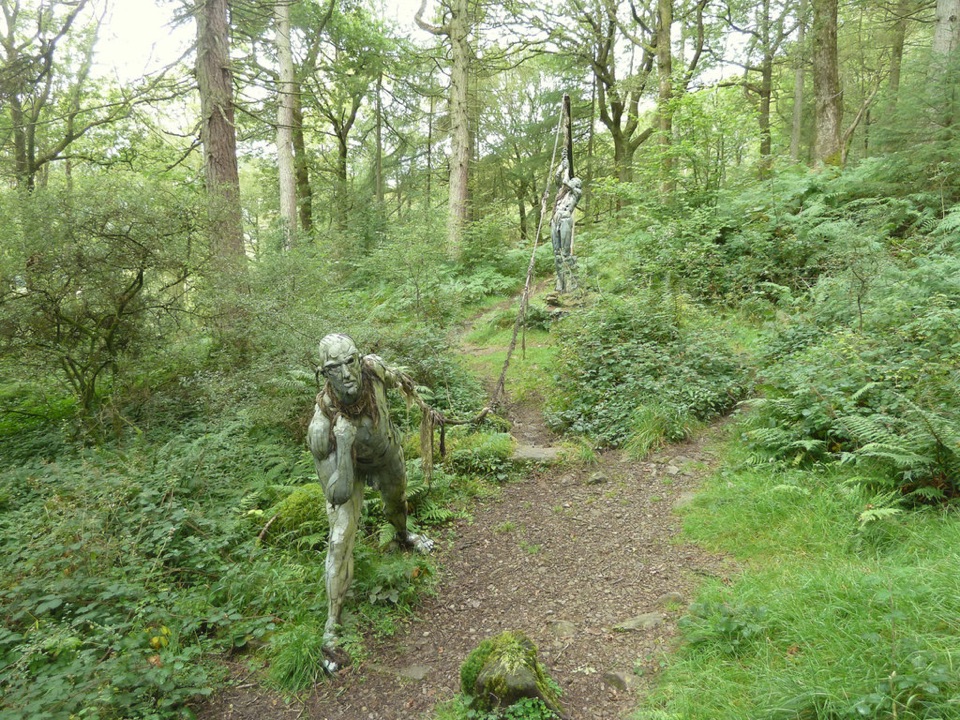 ModerateBogle Crag Trail (Long Loop)4.8 km · 2 hr · 6.2 km awayRooty climbs, quiet sculptures, one clear view over the Rusland Valley
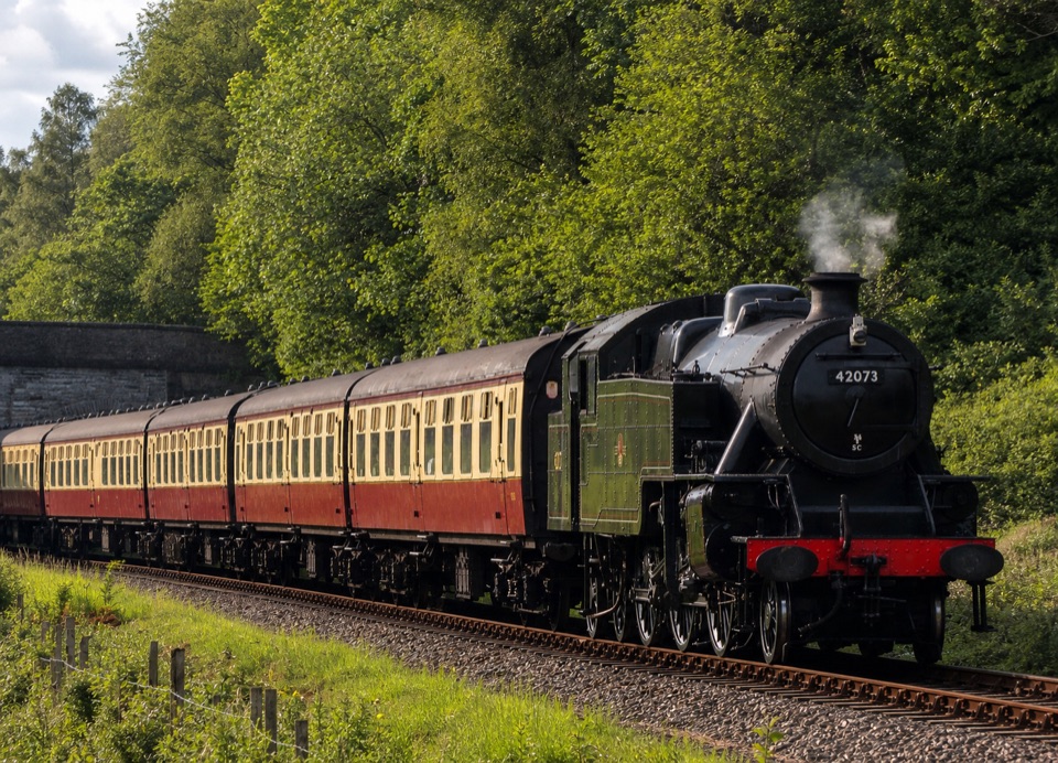 Sight · 4.4 km awayLakeside and Haverthwaite RailwayA steam-era ride through the Leven Valley to Windermere's shore
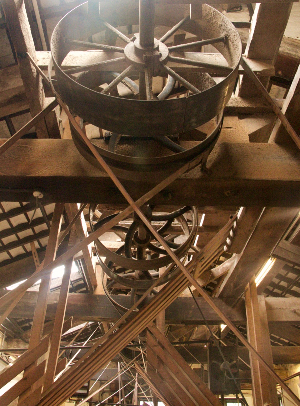 Sight · 5.5 km awayStott Park Bobbin MillClattering belts and bobbins bring Lakeland's last working mill to life
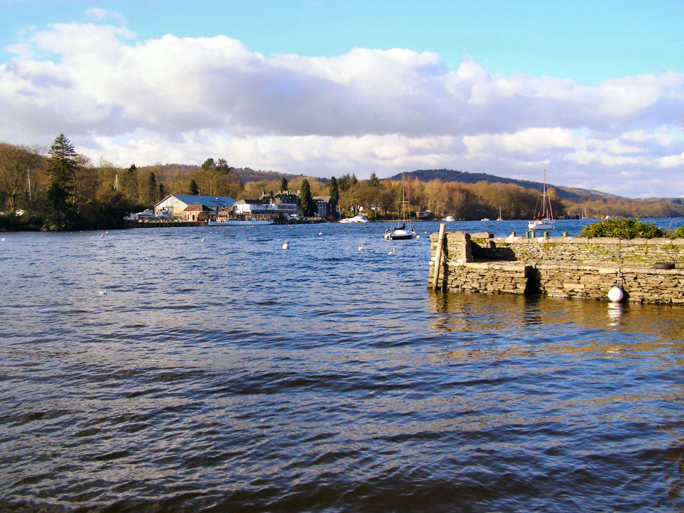 Sight · 6.2 km awayFell FootVictorian boathouses, open lawns, and easy access to Windermere
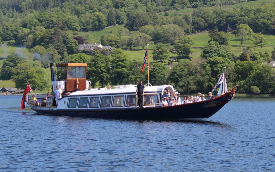 Sight · 6.6 km awayConiston WaterA deep lake of boats, stories, and the Old Man's reflection
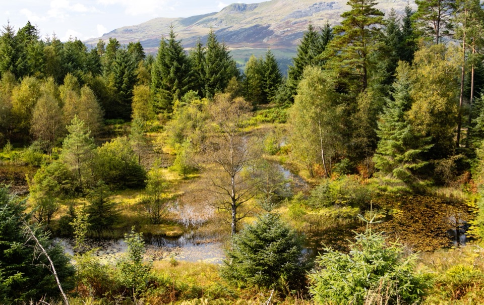 Sight · 7.2 km awayGrizedale ForestSculptures, trails, and mountain views fill this working forest
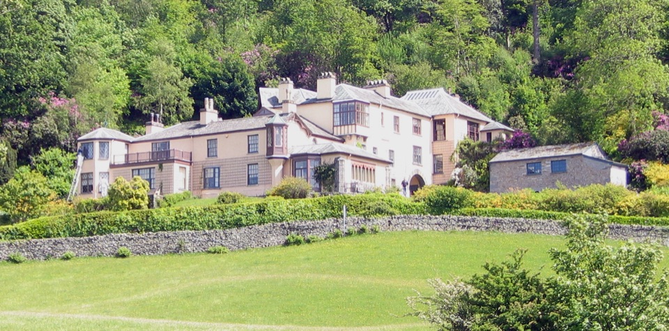 Sight · 8.5 km awayBrantwoodRuskin's house, winding gardens, and a big Coniston Water view
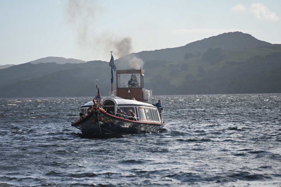 Sight · 9.6 km awaySteam Yacht GondolaA Victorian steam yacht gliding beneath Coniston's fells
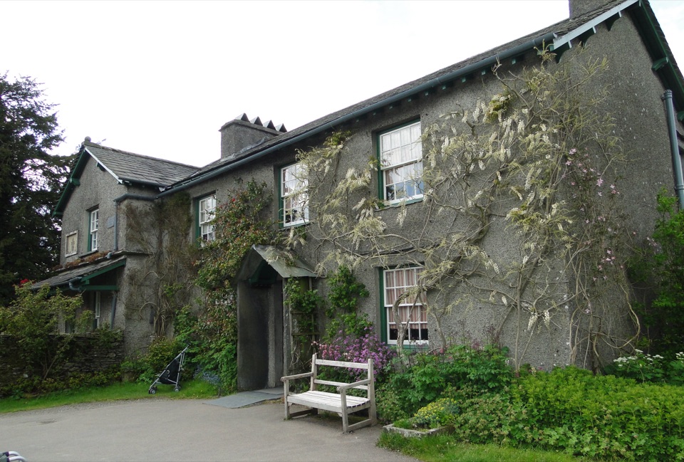 Sight · 9.7 km awayHill TopStep inside Beatrix Potter's farmhouse and the stories it inspired
Parkwolf’s Lake District ranking

The audio tour guide for the drive, plus offline maps, trails, and wildlife heatmaps for when the signal drops.





