Parking
Start at the signed Old Hall Farm access in Bouth (LA12 8JA). Check the marked parking arrangement onsite before setting out; do not assume farm facilities or parking are available.
Lake District National Park, EN
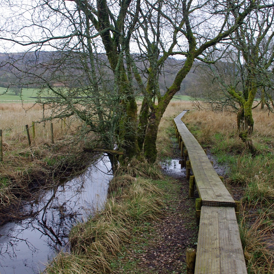
A 5.4-mile loop over raised bog boardwalks, coffin road and quiet lanes
Overview
A waymarked loop of 5.4 miles (8.7 km) starting and finishing at Old Hall Farm in Bouth, usually walked in 4 to 5 hours, with about 4.5 hours a fair planning figure. This is the long red option: undulating lowland walking rather than a fell climb, linking two peatland nature reserves.
Map & elevation
Plan your hike

The highest, rockiest slopes around here are a summer buffet for grizzly bears.
Lake District Tour Guide
Parkwolf is a GPS audio tour guide for Lake District National Park. As you drive, it chimes in with what’s ahead: hidden gems, upcoming stops, history, geology, and wildlife, right through your car’s speakers.
Recorded for this trailhead
Old Hall Farm: The Rusland Moss Loop“You're nearing Old Hall Farm in Bouth, the starting point for a quiet walk through the wetlands of Rusland Moss and Hay Bridge. The long red route is a five-and-a-half-mile loop, so allow four to five hours to enjoy it.”
Plays as you drive up to this trailhead in the Parkwolf Lake District Tour Guide.
More stories near here in the app
“Fantastic app with many points of information… It’s great to just turn on while you’re driving and it gives you an audio tour of the national Park. We love it!!!!”


Trail guide
Leave the farm on a public byway and rolling woodland tracks, passing the Colton Church turn and a northward view over the Rusland Valley. Field paths trace the remains of an old wall before quiet roads lead past Longmire Water Mill and on toward Hulleter, reaching a junction beside a stream. A simple footbridge, a gate and two plank bridges follow, along with a standing stone that has no public access. Beyond a stile at the wood edge, a path and boardwalk carry you into Rusland Moss National Nature Reserve, where a short side path reaches a moss viewpoint, the quiet high point of the day. More boardwalk and paths continue to Hay Bridge Nature Reserve and its information centre buildings. The return leaves by road past White Moss and Black Beck Tarns, crosses a small bridge, follows a wall and gates to the road, then turns into Height Spring Wood on the old Coffin Road and takes a small path along the wood edge back to the start.
Expect woodland tracks, field paths, quiet country roads, boardwalk and genuinely wet mossland, with repeated gates, stiles, a simple footbridge and plank bridges. Nothing is technical and there is no mountain exposure, but the distance, the number of barriers, soft ground and several route-finding decisions add up to a moderate day. Boots that cope with mud and standing water are sensible. Short road sections mean staying alert for occasional vehicles.
Rusland Moss is a raised mire built up over roughly 3,000 years, and its waterlogged peat suits dragonflies; red and roe deer, lizards, grass snakes and adders are recorded here. Hay Bridge is a lowland raised peat bog with woodland and wetland habitats where small birds, great spotted woodpecker and buzzards may be seen. White Moss and Black Beck Tarns support overwintering wildfowl and amphibians, while Moss Wood and Height Spring are semi ancient woodland with a history of hazel coppice. Sightings are never guaranteed, so treat wildlife as a bonus rather than the reason to come.
The route strings together Colton Church, the old Coffin Road once used between Bouth and Colton, Longmire Water Mill, and small details such as old gates and a churn stand, finishing near Bouth village.
Old Hall Farm, Bouth, LA12 8JA, is the signed start; check the marked starting access and parking arrangements onsite before setting off, as farm facilities can change. Dogs should be kept under close control throughout, particularly near livestock, ground nesting birds and sensitive peatland.
The long red route can be impassable after prolonged rain, when standing water covers the moss, so have the shorter option or another plan in reserve. A fair amount of the loop follows quiet tarmac rather than trail, the standing stone cannot be visited, and anyone hoping for summit panoramas should look to the higher fells instead. This is a walk about peat, woodland and small historical details.
Wildlife
 81 sightingsRed DeerMost seen around 7 PMSighting map
 13 sightingsEurasian OtterMost seen around 6 AMSighting map
 76 sightingsOspreyMost seen around 8 AMSighting map
 51 sightingsEuropean BadgerMost seen around 8 PMSighting map
 233 sightingsMute SwanMost seen around 6 PMSighting map
 176 sightingsGrey HeronMost seen around 7 AMSighting map
Sighting maps show where each species has been reported across Lake District. Wildlife moves, so no sighting is guaranteed.
Keep exploring
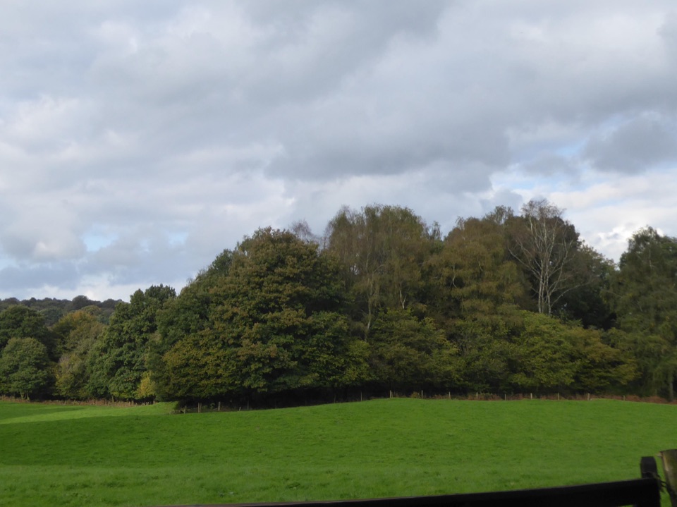 ModerateRusland Valley and Yewbarrow13.7 km · 4.5 hr · 1.2 km awayGunpowder tramway, tidal river fields, ancient yews and open fell views
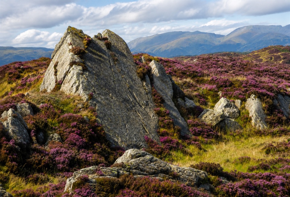 ModerateGreenwood Trail 4: Oxen Park to Bethecar Moor13 km · 4.5 hr · 2 km awayRough, quiet loop over Bethecar Moor's open fell and Grizedale woods
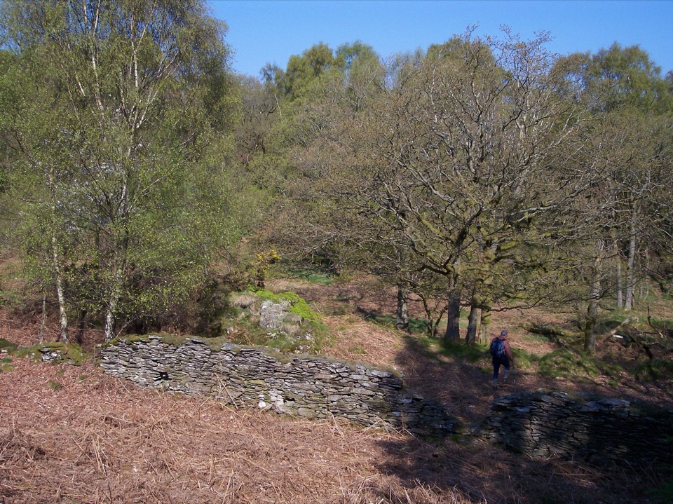 ModerateGreenwood Trail 2: Haverthwaite Heights and Abbots Reading4.8 km · 1.8 hr · 2.2 km awayA muddy woodland circuit with a rewarding farm detour
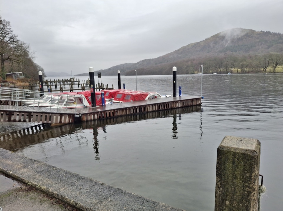 ModerateWest Windermere Way5.9 km · 2.5 hr · 4.4 km awayA short route blending lakeshore, railway, woodland, and fell views
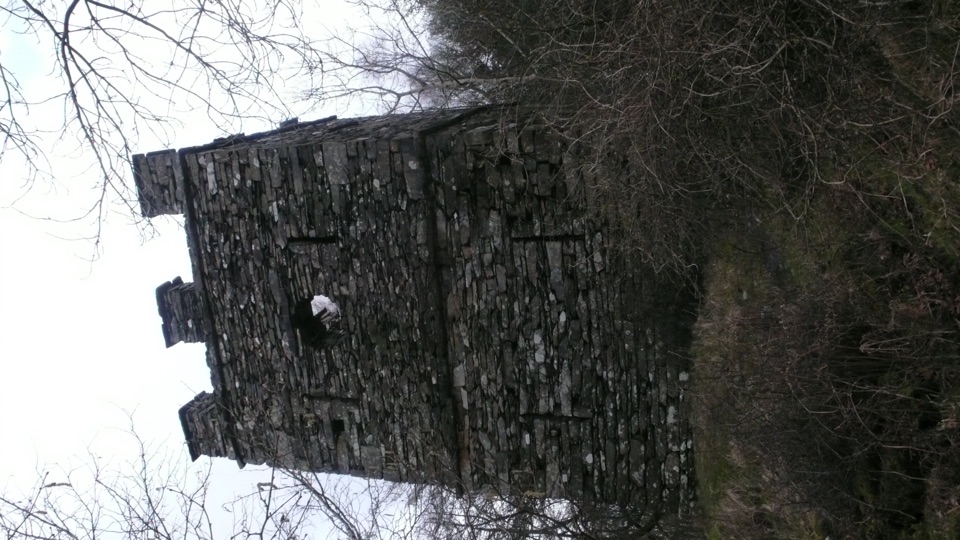 ModerateFinsthwaite Tower and The Knott5.6 km · 1.8 hr · 4.8 km awayA short woodland loop to a 1799 naval memorial tower
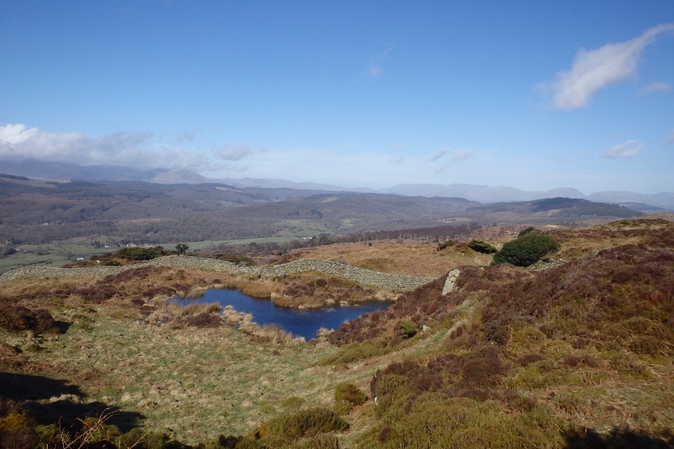 ModerateGreenwood Trail 3: Bobbin Mill to High Dam, Yewbarrow and Finsthwaite10 km · 4.5 hr · 5.4 km awayBobbin Mill to High Dam loop: tarn boardwalk, then open fell views
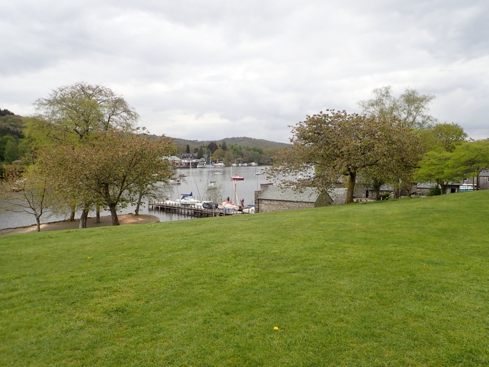 EasyFell Foot Circular Heritage Trail2.6 km · 1 hr · 5.7 km awayLakeshore lawns, wildflower meadow and Gothic boathouses on a gentle loop
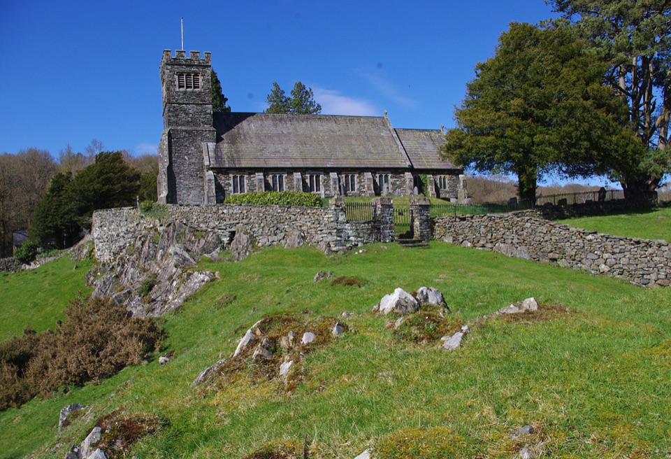 ModerateSatterthwaite and Rusland9.6 km · 3.5 hr · 6 km awayForges, ancient woodland and a hilltop church on a rolling forest loop
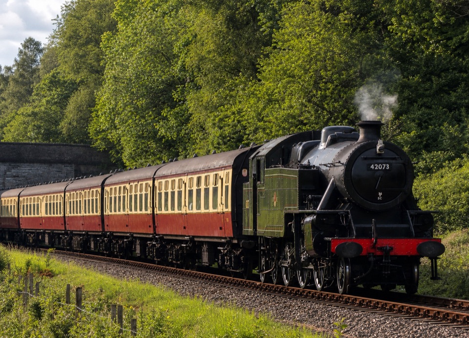 Sight · 2.7 km awayLakeside and Haverthwaite RailwayA steam-era ride through the Leven Valley to Windermere's shore
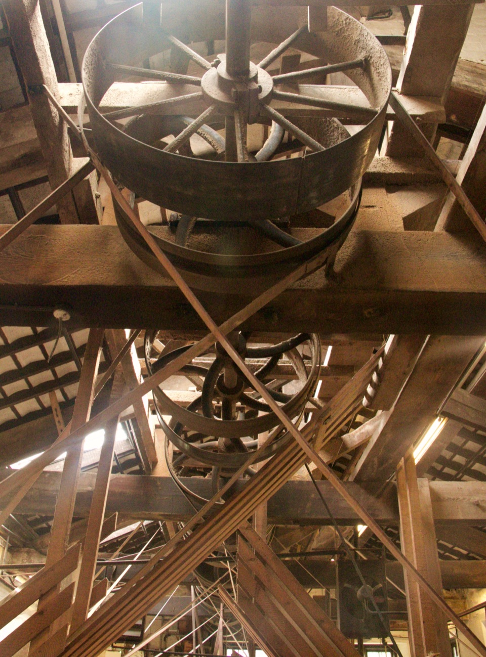 Sight · 5.4 km awayStott Park Bobbin MillClattering belts and bobbins bring Lakeland's last working mill to life
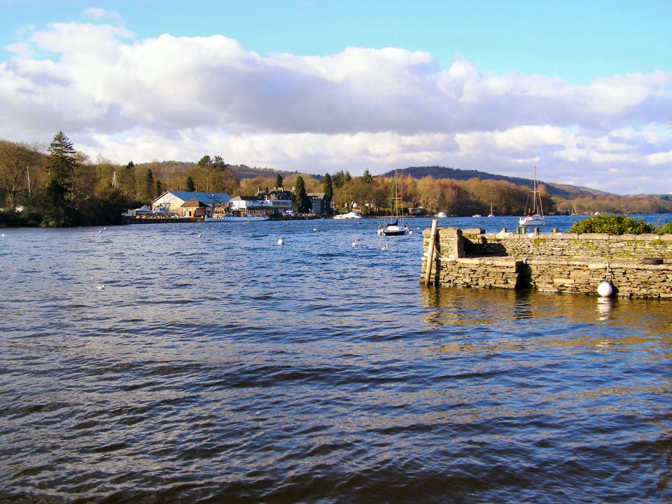 Sight · 5.6 km awayFell FootVictorian boathouses, open lawns, and easy access to Windermere
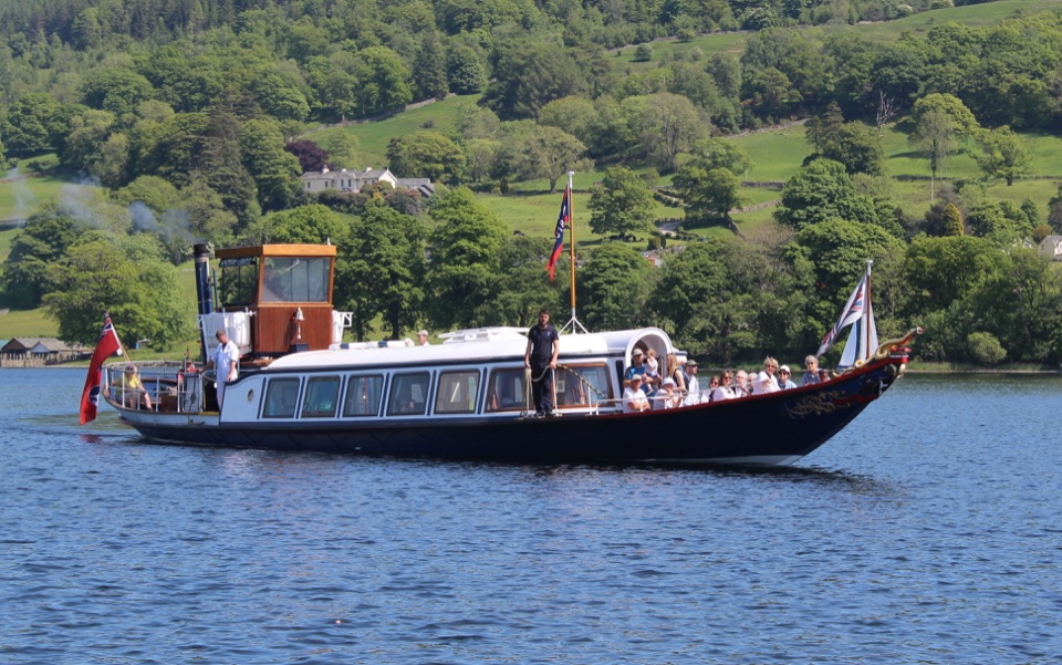 Sight · 8.6 km awayConiston WaterA deep lake of boats, stories, and the Old Man's reflection
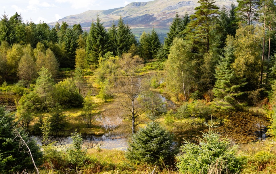 Sight · 8.9 km awayGrizedale ForestSculptures, trails, and mountain views fill this working forest
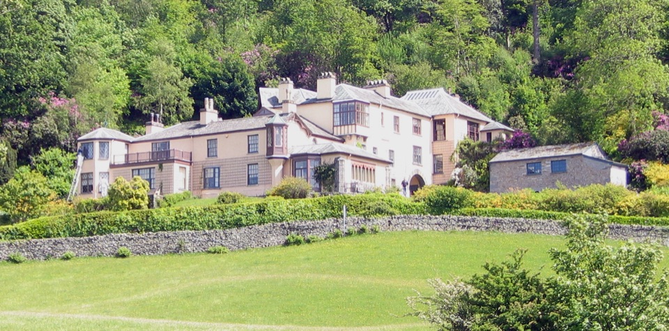 Sight · 10.4 km awayBrantwoodRuskin's house, winding gardens, and a big Coniston Water view
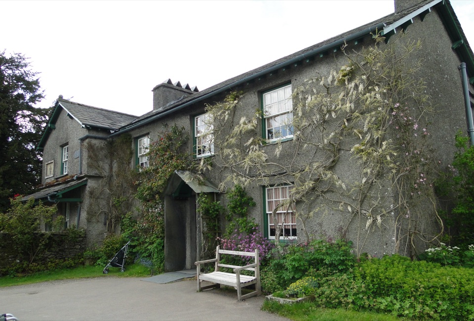 Sight · 11 km awayHill TopStep inside Beatrix Potter's farmhouse and the stories it inspired
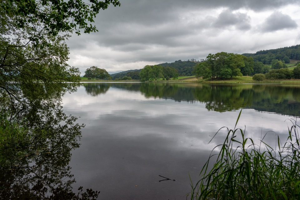 Sight · 11.4 km awayEsthwaite WaterA quiet lake for fell reflections, wildlife, and slow waterside walks
Parkwolf’s Lake District ranking

The audio tour guide for the drive, plus offline maps, trails, and wildlife heatmaps for when the signal drops.





