Mellbreak and Scale Force in Lake District National Park

Lake District National Park, EN

Mellbreak and Scale Force

Loose scree climb to twin tops, then a 170ft waterfall gorge

Photo: Wikimedia Commons
Length
10.9km
Time
4.5hr
Elev. change
393m
Difficulty
Challenging
  • Loop
  • Dogs allowed
  • High point 493 m
  • #96 of 265 in Lake District

Hear the audio tour

Loweswater: Mellbreak and Scale Force

Overview

About Mellbreak and Scale Force

Why go

  • Two summits and a high viewpoint over Crummock Water
  • A varied loop with waterfall, lake shore and woodland
  • Quieter fell ground than the better-known Buttermere routes

Heads up

  • Loose scree and boggy high ground
  • Small parking area and awkward dog obstacles
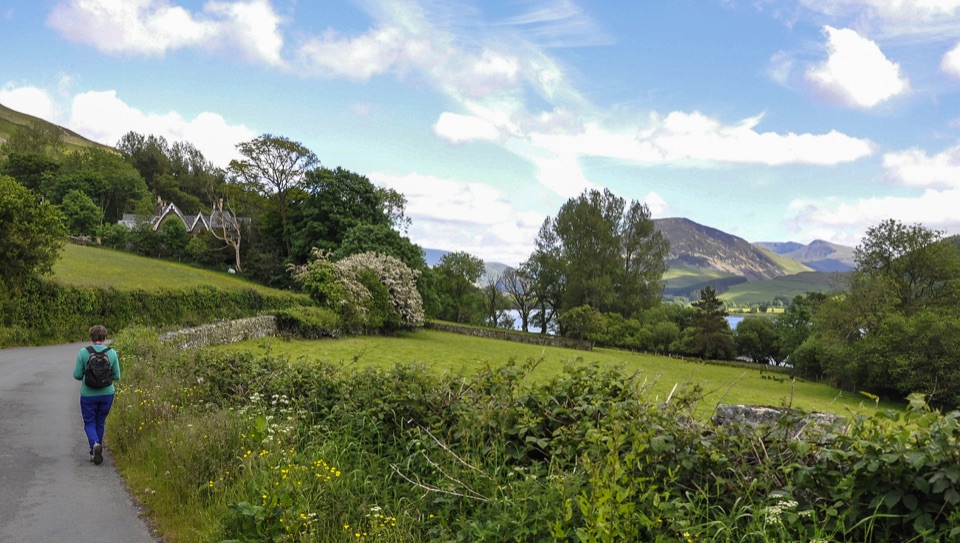
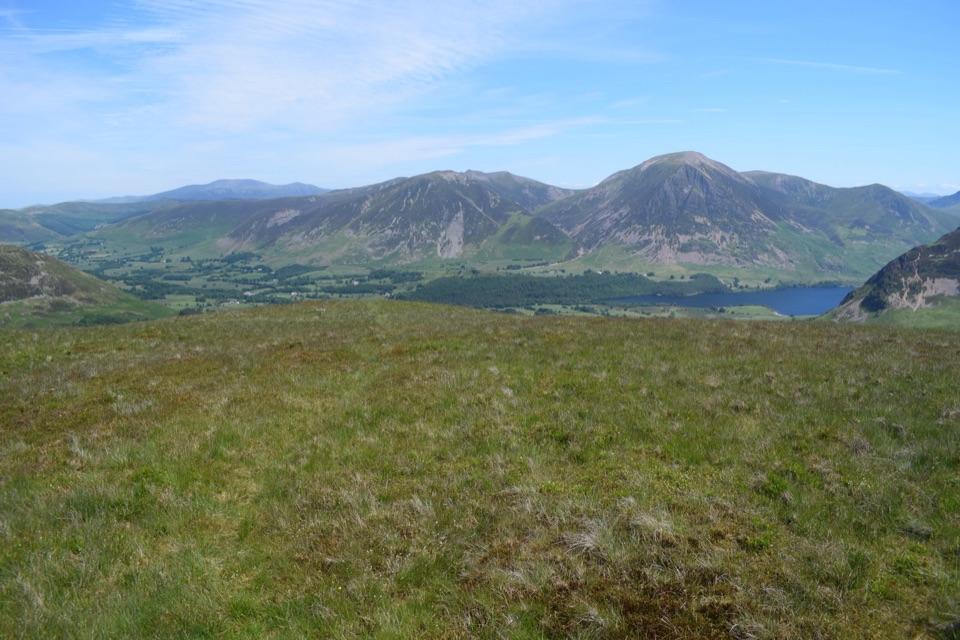
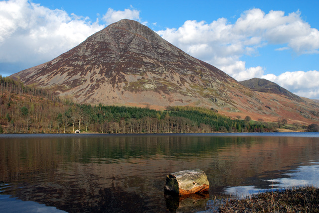
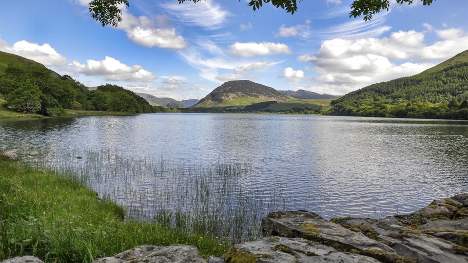
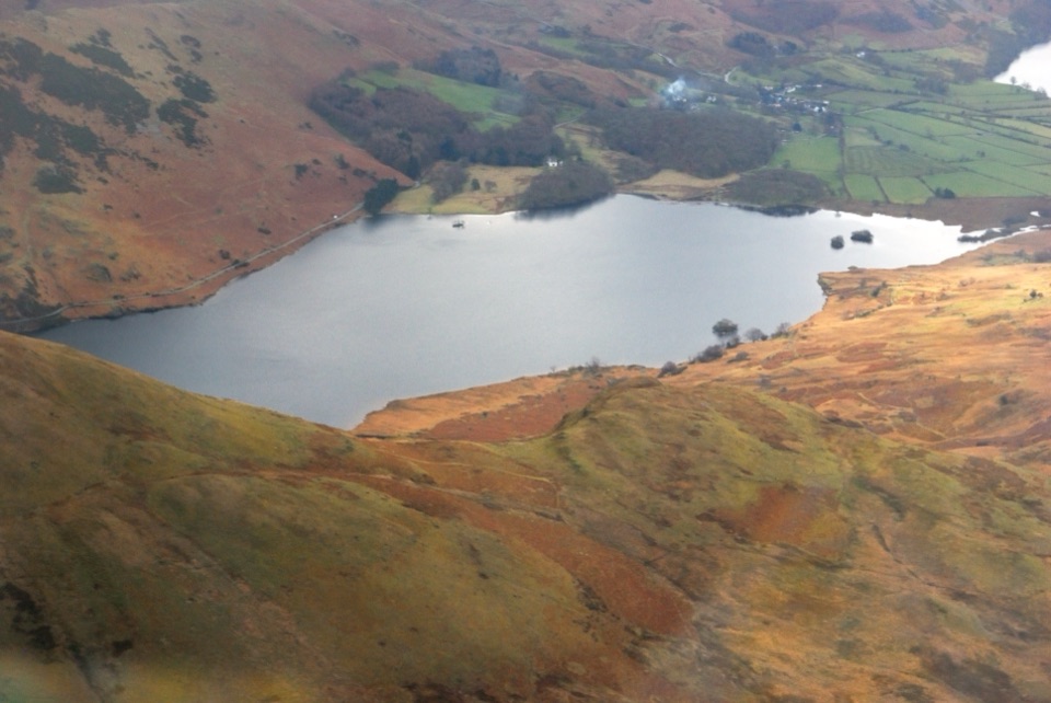
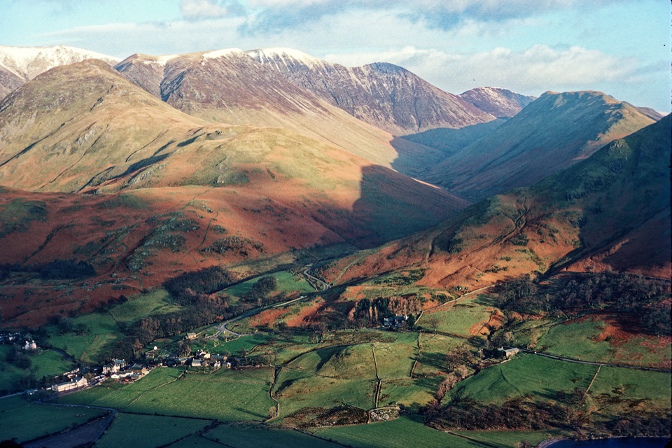
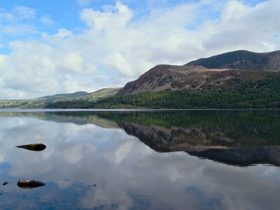
The view from the higher top over Crummock Water and Buttermere is the reason to come, with Grasmoor, Rannerdale Knotts, Red Pike and the High Stile ridge filling the skyline. The second half is a different walk entirely: waterfall gorge, lake shore, woodland and old field landscape, which makes the loop feel more varied than an out and back to the summit.
Parkwolf’s verdictScenery and the payoff

Map & elevation

The route

Loading the Lake District map
Full map
Elevation100–493 m
TrailheadKirkstile Inn access54.57599, -3.32961
Keep this map with you offline in the Parkwolf app

Plan your hike

Before you go

Parking

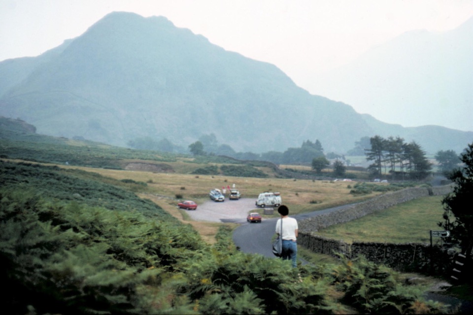
Park at Maggie's Bridge Car Park (CA13 0RU, grid reference NY 13449 21040), then walk along the road to the lane access below the Kirkstile Inn. The inn's parking is for patrons only. The car park is small, and public transport to Loweswater is limited.

Best time to go

Settled, clear weather improves both the views and the route-finding, and this is a poor choice in low cloud. Early morning or late afternoon gives the best lake reflections and softer light on the fells; the summit shots want clear air more than anything. Spring and summer bring long daylight but wetter ground underfoot and more company on the Crummock shore path. Autumn adds colour through the woods, and low winter light can be lovely, at the cost of wet ground, cold and short days. The lakeside return sees steady walkers in good weather, while the Mellbreak climb itself stays comparatively quiet.

Safety

The northwest ascent is steep and loose, with a rocky gateway, minor scrambling and exposed open ground. Expect boggy sections between the tops, steep grass on the descent, and faint paths in cloud. The Scale Force approach includes a slippery mossy boulder; use the footbridge if you do not want that scramble. Water can be scarce on the ridge in a dry spell. Keep dogs under close control around livestock and at the fence and stile crossings.

8 active Lake District alerts

  • ClosureChapel Stile footpath closed for retaining-wall riskPart of Footpath 543030 between Chapel Stile and Baysbrown campsite is closed because a retaining wall beside the path could collapse and material it supports could fall across the footpath.Official details
  • ClosureStanley Ghyll Lower Falls footpath closed for rockfallThe section of Footpath 408037 leading towards Stanley Ghyll Lower Falls is closed because severe rockfall damage has made the path unstable and further rockfall remains a danger.Official details
See all 8 alerts
A park ranger sits on a dash-mounted phone, talking, as Parkwolf’s Tour Guide plays “Army Cutworm Moths: A Grizzly Bear Buffet” on Grand Loop Road below Dunraven Pass in Yellowstone
Parkwolf Tour GuideThe highest, rockiest slopes around here are a summer buffet for grizzly bears.

Lake District Tour Guide

Your drive to Mellbreak and Scale Force, narrated.

Parkwolf is a GPS audio tour guide for Lake District National Park. As you drive, it chimes in with what’s ahead: hidden gems, upcoming stops, history, geology, and wildlife, right through your car’s speakers.

Recorded for this trailhead

Loweswater: Mellbreak and Scale Force
0:00 / 1:07
“You're getting close to Loweswater village, the starting area for Mellbreak and a walk that combines two summits with a waterfall gorge.”

Plays as you drive up to this trailhead in the Parkwolf Lake District Tour Guide.

More stories near here in the app

  • Loweswater: Holme Wood and Lakeshore
  • Lanthwaite Wood: Shore and Hilltop Views
  • Waterend: Burnbank Fell and the Terrace
  • Thackthwaite: Low Fell and Fellbarrow
  • 298 audio storiesacross Lake District’s roads, triggered by GPS as you drive
  • Wildlife heatmapsfor Red Deer, Eurasian Otter, Osprey, and 13 more
  • Works offlinemaps, 265 trails, 89 places, and audio download before you lose signal
  • CarPlay readysimple controls built for the drive
★★★★★
“Fantastic app with many points of information… It’s great to just turn on while you’re driving and it gives you an audio tour of the national Park. We love it!!!!”
JMJamesApp Store review
Download Parkwolf on the App StoreGet Parkwolf on Google Play

4.7 from 8,600+ ratings

Trail guide

Hiking Mellbreak and Scale Force

The route in shortA closed circular loop from the lane below the Kirkstile Inn, 6.

A closed circular loop from the lane below the Kirkstile Inn, 6.8 miles for the complete loop, with around 600 m of ascent. Plan on about 4.5 hours at a normal pace with stops. Published minimum times of just over three hours are not a sensible planning figure on ground this rough.

The sequenceLeave the lane, pass farm buildings and a walled track, then pick up the grass path aiming at…
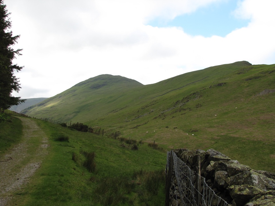
  • Leave the lane, pass farm buildings and a walled track, then pick up the grass path aiming at the obvious scree tongue on Mellbreak's northwest end.
  • Climb the loose, steep scree or its rougher bypasses, up through a rocky gateway to the North Top at around 509 m.
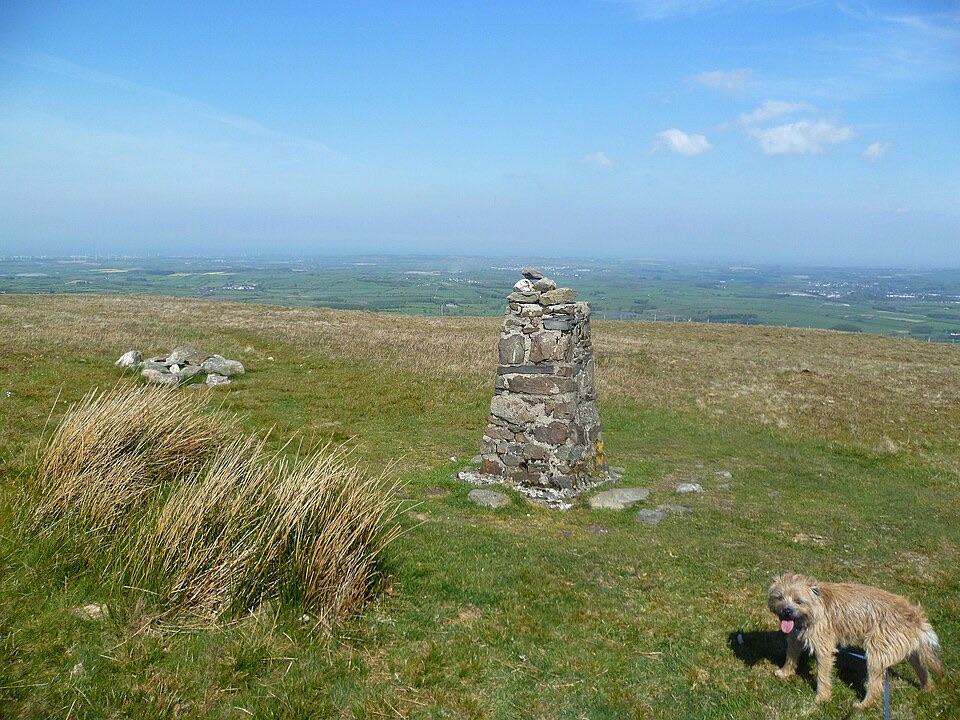
  • Cross the boggy col to the South Top at around 512 m, the higher of the two and the best viewpoint.
  • Descend steep grass towards Scale Knott, cross open grass and a fence, then drop to Scale Beck, over stepping stones and a stile, to Scale Force.
  • Return to the gate, follow the beck path without crossing the wooden bridge, join the circular path around Crummock Water, pass Low Ling Crag, climb to the upper path by the wall, continue above Green Wood and the houses, and descend to the lane back to Kirkstile.
How hard it feelsHard for its length: a short, sustained climb on loose stone, steep grass on the descent, wet…

Hard for its length: a short, sustained climb on loose stone, steep grass on the descent, wet and boggy ground between the tops, a few hands-on rock moves, and stretches where the path is faint on the high ground. No technical climbing, but you need confident footing and the ability to navigate in cloud. The ridge is open, with little shade and no reliable water in a dry spell, so carry what you need.

The waterfallScale Force is the signature waterfall of the loop, a single drop of about 51.

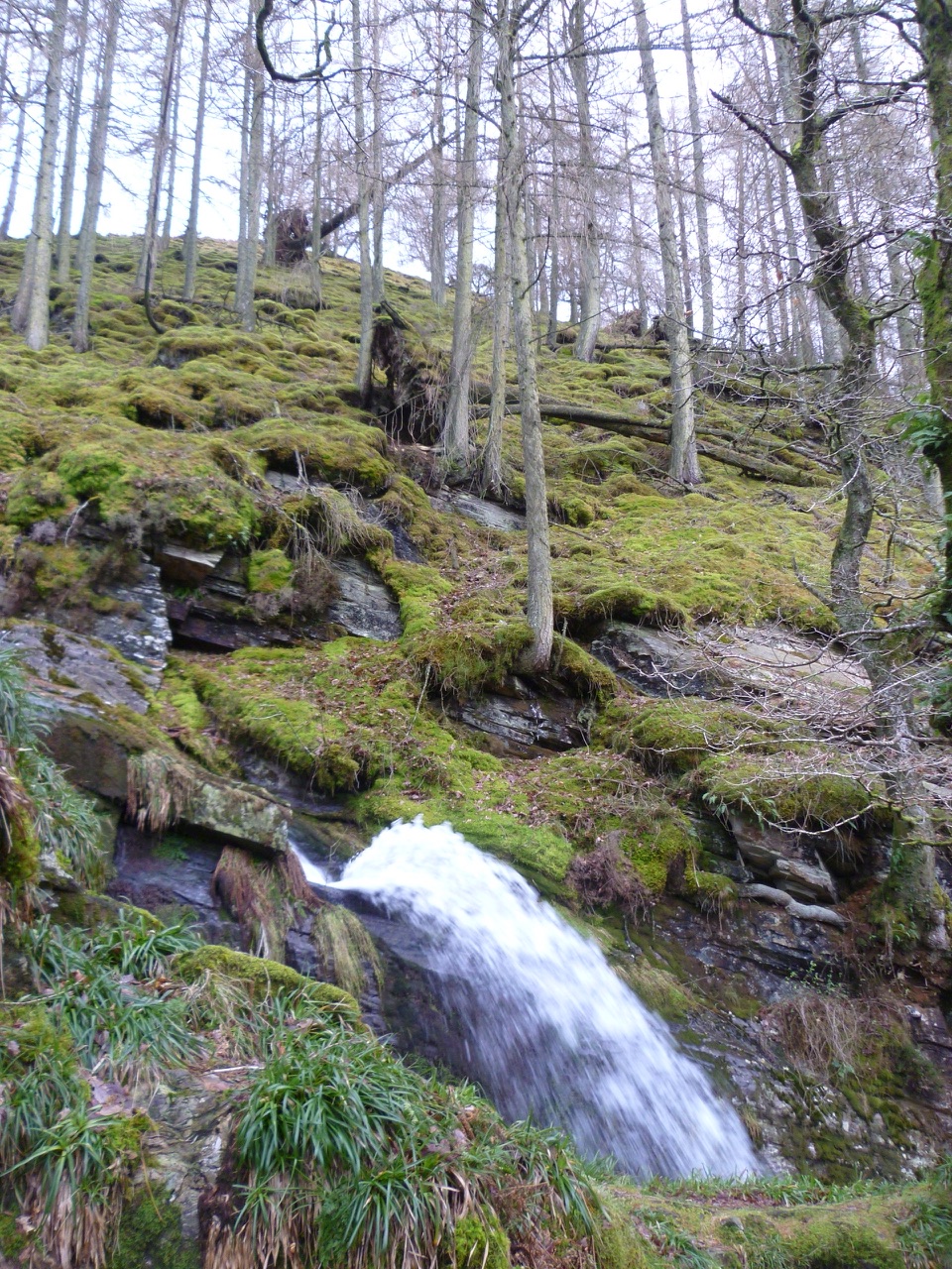
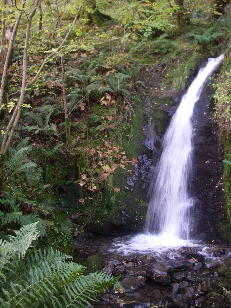
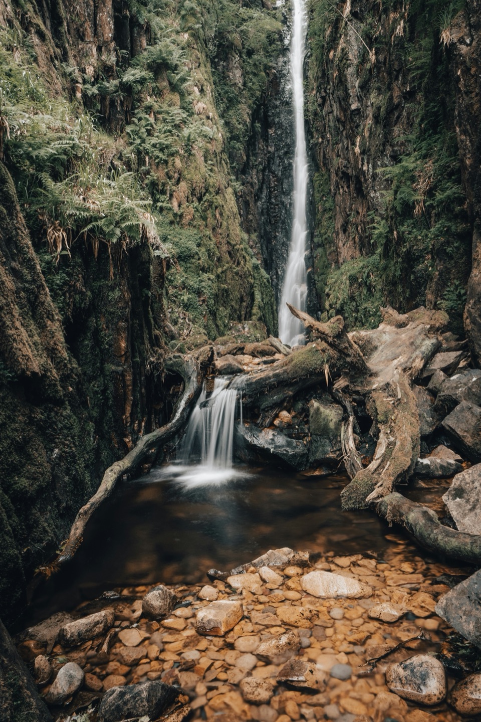
Scale Force is the signature waterfall of the loop, a single drop of about 51.8 m in a narrow rock gorge above Crummock Water. Getting close involves scrambling over a large boulder that is often slimy with moss; the footbridge is the safer place to look from, and there is no shame in staying there.

Access, parking and dogsThe loop starts and finishes at the lane access below the Kirkstile Inn, but park at Maggie's…

The loop starts and finishes at the lane access below the Kirkstile Inn, but park at Maggie's Bridge Car Park (CA13 0RU, grid reference NY 13449 21040) and walk the road to that start. The inn's own parking is for patrons only, and the inn is also the nearest option for toilets and refreshments, again for customers. Maggie's Bridge holds only about six to eight cars, so arrive early, and note that public transport to Loweswater is limited. Avoid parking on verges elsewhere in the valley, where it can block farm and emergency access. No route-specific permit is needed. Dogs are allowed on the public route, but consider the loose scree, steep grass, two fence and stile crossings and grazing livestock: keep them under close control and on a lead where stock or other walkers require it.

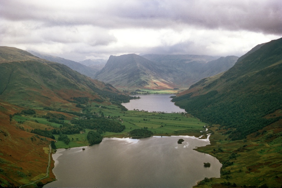
If this is not your dayThe Buttermere Circular is much easier and stays low, with lake views and no sustained climb.

The Buttermere Circular is much easier and stays low, with lake views and no sustained climb. It is a separate walk, not a shortcut version of this one, and a better call if the scree, bog and scrambling here do not appeal.

Wildlife

Wildlife in Lake District

All Lake District wildlife maps

Sighting maps show where each species has been reported across Lake District. Wildlife moves, so no sighting is guaranteed.

Keep exploring

Near Mellbreak and Scale Force

See it all on the map

Trails that start nearby

Places near the trailhead

Parkwolf’s Lake District ranking

Top-rated trails in Lake District

All 265 trails
  1. 1Scafell Pike via Hollow Stones from WasdaleChallenging · 9 km
  2. 2Helvellyn via Striding Edge and Swirral EdgeChallenging · 12.4 km
  3. 3CatbellsModerate · 6.6 km
  4. 4The Old Man of ConistonChallenging · 9 km
  5. 5Buttermere CircularEasy · 7.6 km
  6. 6The Fairfield HorseshoeChallenging · 17.2 km

Take Parkwolf to Lake District.

The audio tour guide for the drive, plus offline maps, trails, and wildlife heatmaps for when the signal drops.

4.7 from 8,600+ ratings

Download Parkwolf on the App StoreGet Parkwolf on Google Play