Parking
Use the very limited roadside lay-by just north of Thackthwaite. A few additional pull-ins are further north. Do not block gateways, driveways, or the narrow road.
Lake District National Park, EN
A low-key fell circuit with a huge Crummock Water viewpoint
Overview
Map & elevation
Plan your hike

The highest, rockiest slopes around here are a summer buffet for grizzly bears.
Lake District Tour Guide
Parkwolf is a GPS audio tour guide for Lake District National Park. As you drive, it chimes in with what’s ahead: hidden gems, upcoming stops, history, geology, and wildlife, right through your car’s speakers.
Recorded for this trailhead
Thackthwaite: Low Fell and Fellbarrow“You're getting close to Thackthwaite, the starting point for a quieter fell walk taking in Low Fell and Fellbarrow. The complete loop is about four and a half miles, so allow two and a half to three hours.”
Plays as you drive up to this trailhead in the Parkwolf Lake District Tour Guide.
More stories near here in the app
“Fantastic app with many points of information… It’s great to just turn on while you’re driving and it gives you an audio tour of the national Park. We love it!!!!”


Trail guide
This is a roughly 4.4-mile loop from the small roadside access north of Thackthwaite, measured as the complete circuit. Walk into the hamlet, take the public footpath by the houses and stream, then climb through fields and gates to Low Fell. The Low Fell viewpoint is the first real payoff, with Crummock Water, Buttermere, Mellbreak, Grasmoor, and the High Stile ridge laid out from the open slope.
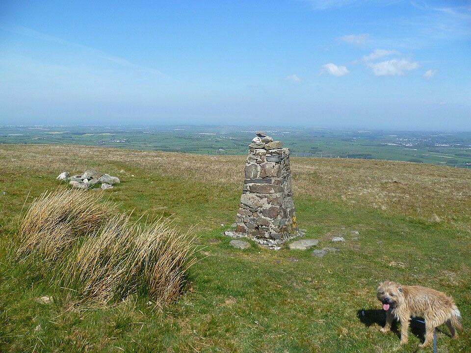
Retrace the path to the fence line, then take the lower path northwest over the broad grass of Sourfoot Fell and Smithy Fell to Fellbarrow. The summit trig pillar sits beyond a fence with a stile nearby. Follow the fence and dry-stone wall downhill, cross the stream, and rejoin the opening path for the return. The line includes the short access lane and the public footpath through the hamlet.
This is a moderate mountain walk, usually about 2.5 to 3 hours for a normal visitor. There is no technical scrambling, but the route is mostly grass and moss rather than a groomed path. Expect gates, fences, stiles, bracken, uneven ground, and sections where the line becomes indistinct. The open tops make the walk feel bigger than its mileage, especially in cloud or wind.
The appeal is the two-summit sequence and the changing western-fell views, not a single dramatic landmark. It is a quieter, lower-key fell day than the Lake District headline routes, but it asks more of your map-reading than a signed visitor trail. Clear weather makes the difference.
The route uses public footpaths and access land. There is no route-specific permit identified. Dogs may come, but keep them under control and in sight, leave gates as you find them, and use a short lead where livestock require it. On access land, dogs have a seasonal short-lead restriction from 1 March to 31 July.
Wildlife
 81 sightingsRed DeerMost seen around 7 PMSighting map
 13 sightingsEurasian OtterMost seen around 6 AMSighting map
 76 sightingsOspreyMost seen around 8 AMSighting map
 51 sightingsEuropean BadgerMost seen around 8 PMSighting map
 233 sightingsMute SwanMost seen around 6 PMSighting map
 176 sightingsGrey HeronMost seen around 7 AMSighting map
Sighting maps show where each species has been reported across Lake District. Wildlife moves, so no sighting is guaranteed.
Keep exploring
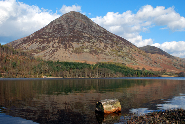 ModerateLanthwaite Wood and Crummock Water Walk6.4 km · 2.5 hr · 2.3 km awayQuiet lakeshore loop with a viewpoint climb facing Grasmoor End
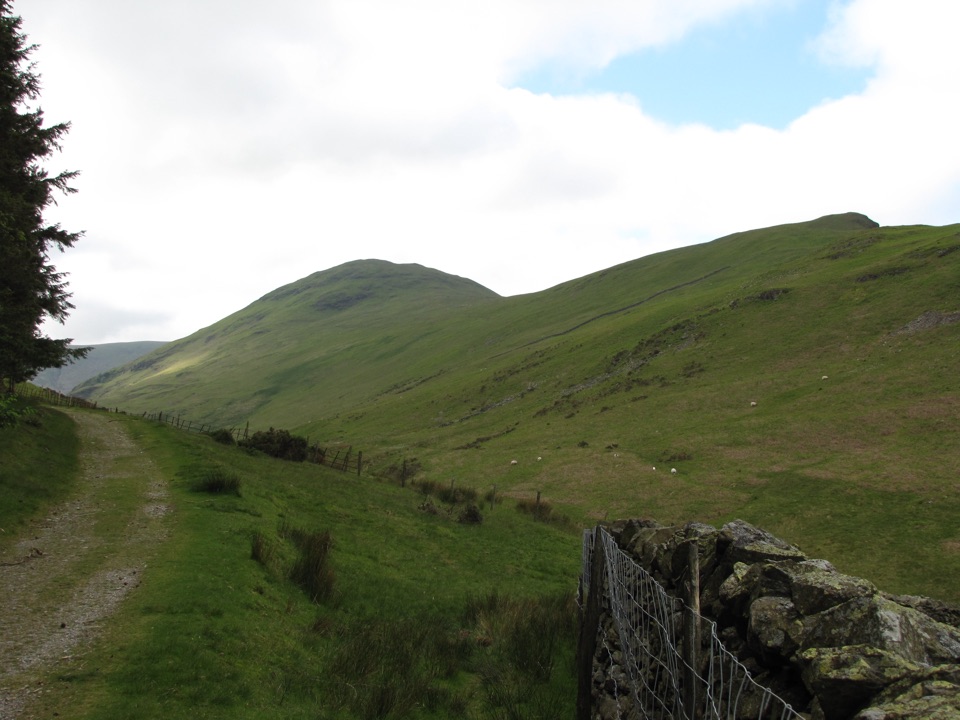 ModerateHen Comb from Loweswater9.7 km · 3.5 hr · 2.8 km awayA quiet Wainwright loop with a ford crossing and boggy Mosedale return
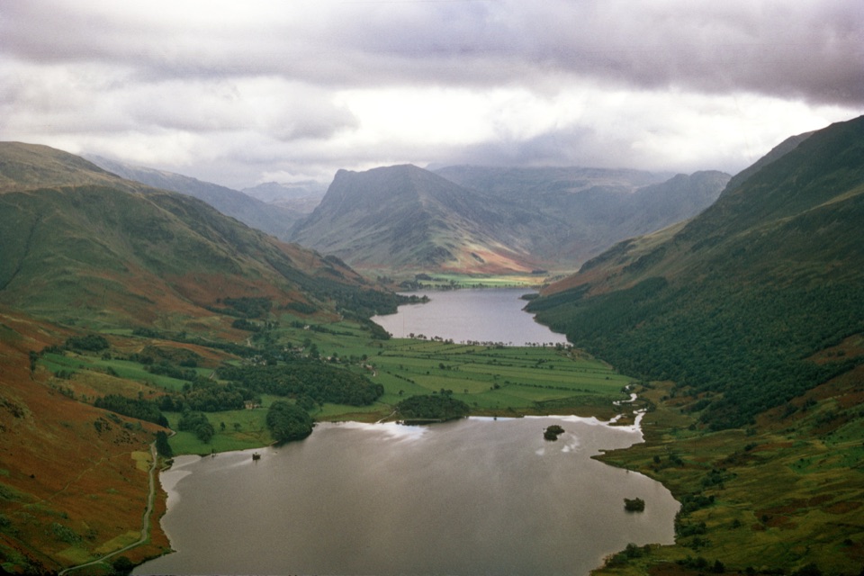 ChallengingMellbreak and Scale Force10.9 km · 4.5 hr · 3 km awayLoose scree climb to twin tops, then a 170ft waterfall gorge
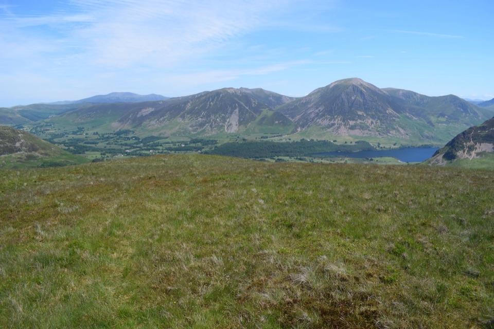 ModerateGavel Fell and Blake Fell from Loweswater9.8 km · 3.5 hr · 3.1 km awayA quiet two-summit circuit through rough, open western fells
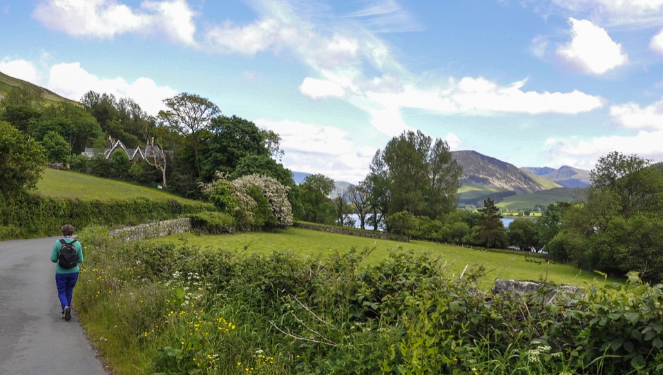 EasyLoweswater5.2 km · 1.5 hr · 3.1 km awayLevel lakeshore track to a quiet bothy, with an optional steep viewpoint
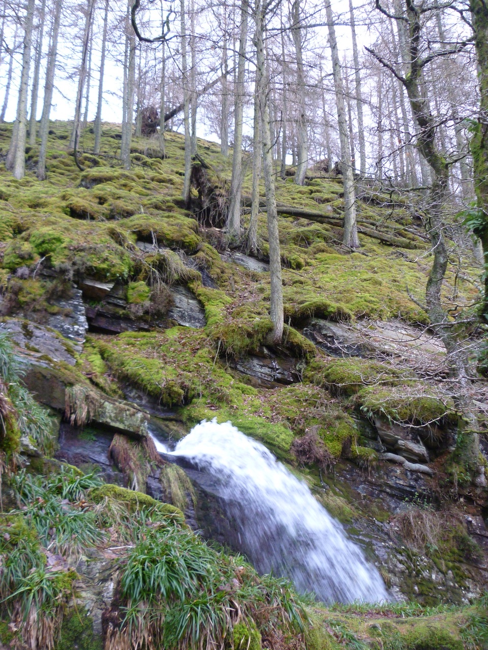 EasyCorpse Road and Tumuli Walk5.8 km · 2.5 hr · 3.2 km awayHistoric corpse road, quiet lake views, and a waterfall in one loop
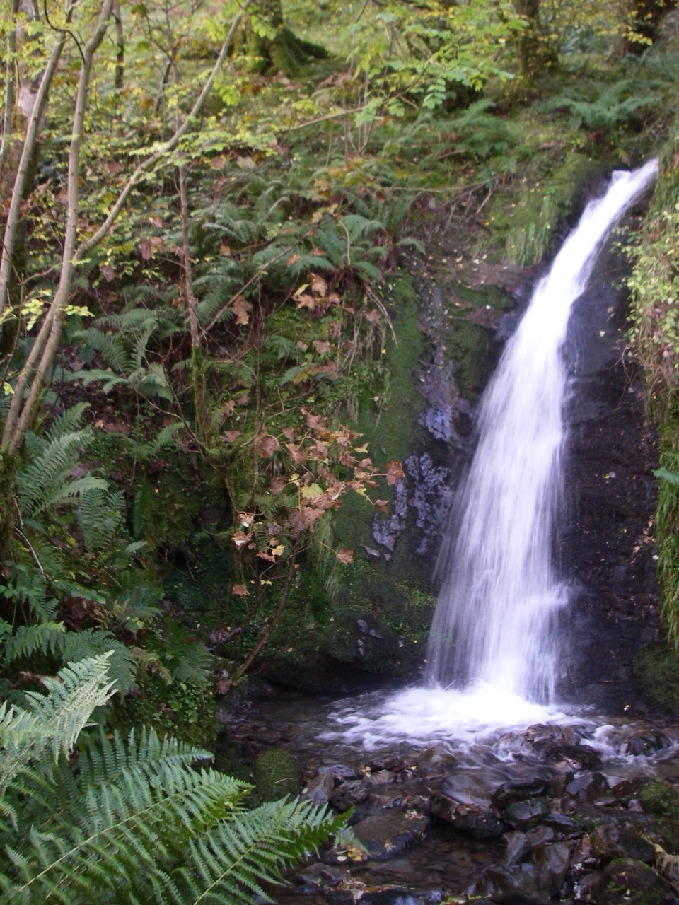 ModerateBurnbank Fell, Holme Force and the Woods10 km · 3.5 hr · 3.3 km awayWaterfall, open fell and a lakeshore return in one rough circuit
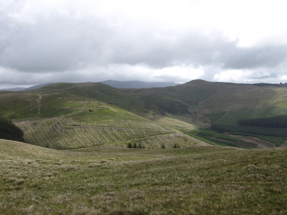 ModerateGraystones, Broom Fell and Lord's Seat10.6 km · 4 hr · 3.9 km awayA steep grassy climb onto a quiet rolling ridge above Whinlatter forest
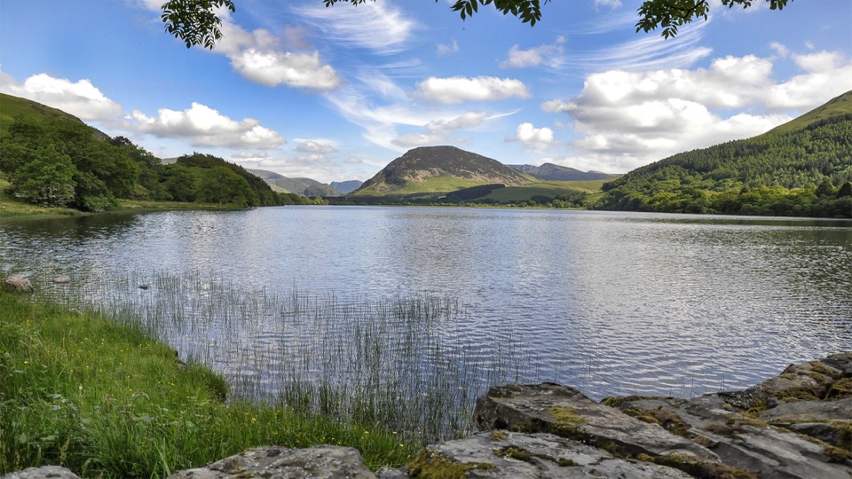 Sight · 3.2 km awayLoweswaterQuiet woodland, water and fell views on an unusually gentle lake walk
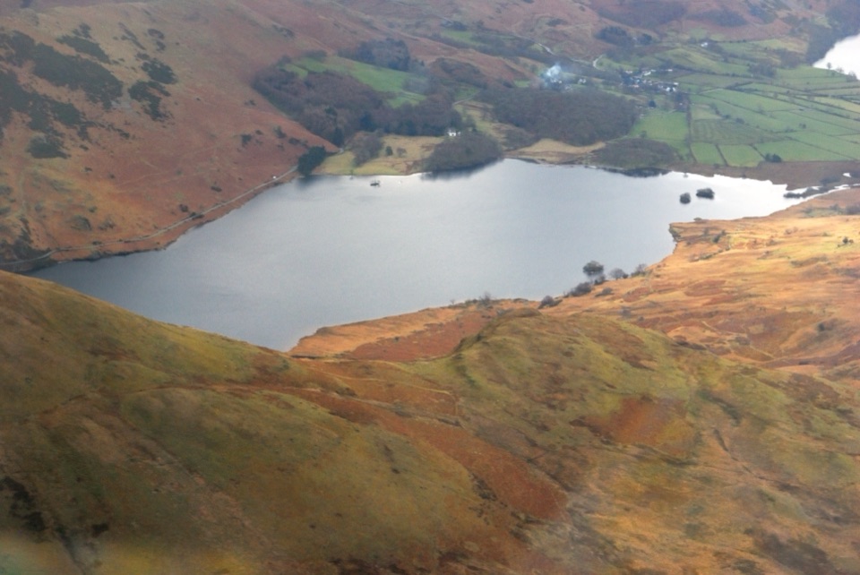 Sight · 5 km awayCrummock WaterA clear lake beneath an amphitheater of rugged western fells
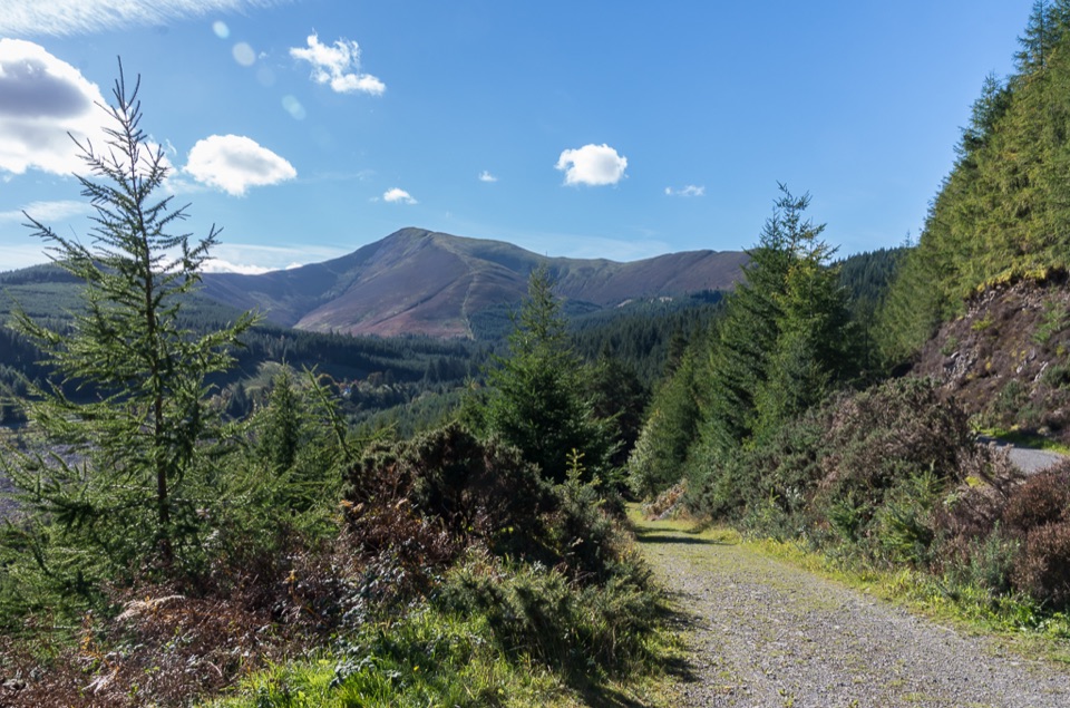 Sight · 6 km awayWhinlatter ForestMountain trails, big fell views, and family paths in a working forest
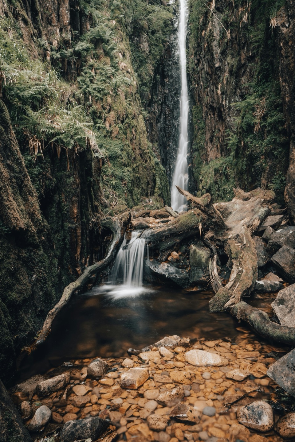 Sight · 6.8 km awayScale ForceThe Lakes' tallest single drop thunders through a mossy gorge
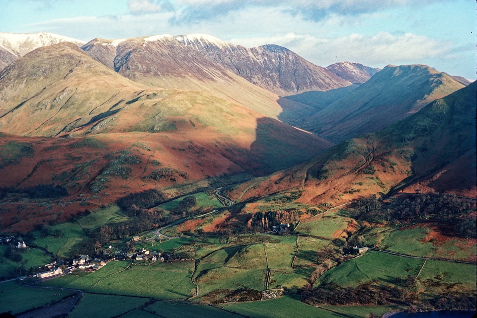 Sight · 7.4 km awayButtermere VillageA tiny hamlet framed by lakes, farms, and dramatic western fells
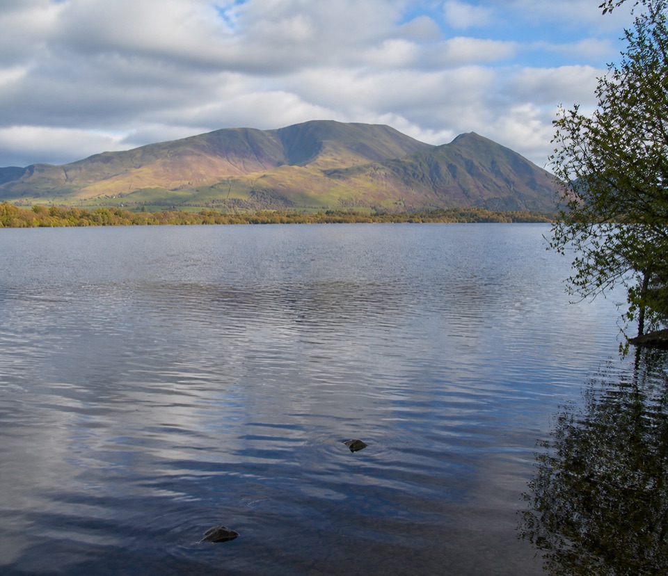 Sight · 8.7 km awayBassenthwaite LakeA quiet wildlife-rich lake beneath Skiddaw
 Sight · 8.8 km awayButtermereA calm mountain lake ringed by high fells and an easy circuit
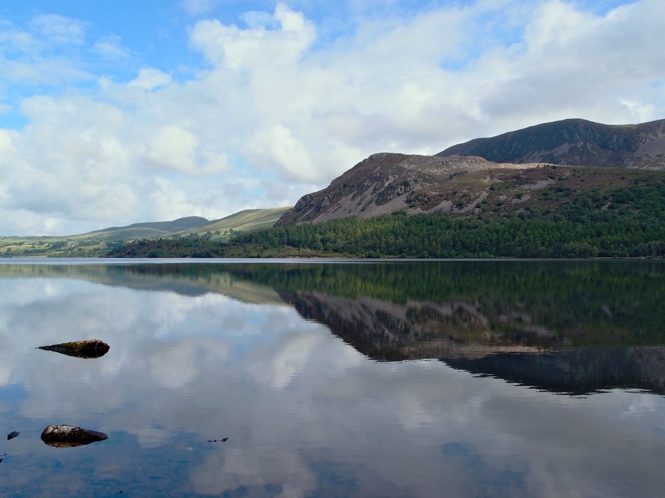 Sight · 9.7 km awayEnnerdale WaterA road-free lake beneath the wild western fells
Parkwolf’s Lake District ranking

The audio tour guide for the drive, plus offline maps, trails, and wildlife heatmaps for when the signal drops.





