Parking
Use the small roadside parking area just above Stone End Farm, by the old quarry on the Mosedale Common side of the valley. It is informal and limited. Do not block the road or farm access.
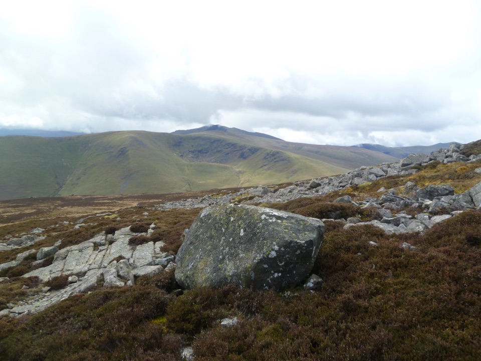
Lake District National Park, EN
Loose gully, ancient hillfort, boggy ridge, two big Northern Fells tops
Overview
Map & elevation
Plan your hike

The highest, rockiest slopes around here are a summer buffet for grizzly bears.
Lake District Tour Guide
Parkwolf is a GPS audio tour guide for Lake District National Park. As you drive, it chimes in with what’s ahead: hidden gems, upcoming stops, history, geology, and wildlife, right through your car’s speakers.
Recorded for this trailhead
Carrock Fell and High Pike“You're coming up on the starting point for Carrock Fell and High Pike, a quieter two-summit walk with an ancient hillfort and old mine workings along the way.”
Plays as you drive up to this trailhead in the Parkwolf Lake District Tour Guide.
More stories near here in the app
“Fantastic app with many points of information… It’s great to just turn on while you’re driving and it gives you an audio tour of the national Park. We love it!!!!”


Trail guide
A closed circular loop of 6.2 miles (10.0 km) with about 525 m of climbing, starting and finishing at the same roadside spot above Stone End Farm. Reckon on around 4 hours, or 3.5 to 4.5 depending on your pace and how long you sit about on the tops.
You go up almost immediately on Rake Trod, following the line of Further Gill Sike to the bouldery top of Carrock Fell at roughly 647 m, where the remains of an ancient hillfort ring the summit and there is a stone wind shelter. From there the walk turns into a broad, open moorland traverse over Round Knott and Miton Hill, past Drygill Head, to High Pike at about 649 m with its trig point, cairn shelter and memorial seat. The descent runs down over West Fell and past old mine workings, then follows Carrock Beck back down the valley to the start near 240 m.
Call it a 6 out of 10. The hard part is the first mile: steep, loose and gritty, with rock where you may want a hand down or two, and not much firm footing to trust. No scrambling skill is needed, but it is a genuine haul. After that the ridge is easier walking and the return is gradual, though the ground stays rough underfoot throughout.
Between the two summits expect boggy patches and grassy paths that fade in and out, so you are picking a line as much as following one. That is fine in clear conditions, when you can see where you are heading, and much more awkward in low cloud. Take a map and the ability to use it, and be willing to turn back on the ridge if visibility closes in. There is very little shelter once you are up, apart from the two summit wind shelters.
Dogs are welcome on the rights of way and access land here, and there are no stiles on the loop, which helps. The durable rule to plan around: on open access land they must be on a lead no longer than 2 m from 1 March to 31 July, and on a lead at all times near livestock. You will meet sheep, and possibly fell ponies, so keep them close.
Parking is a small roadside area just above Stone End Farm, near the old quarry on the Mosedale Common side of the valley. It is informal and limited, not a car park with facilities, so arrive early if you want a space and park considerately. Carry all your water. There is a stream near the start and a ford near the end, but nothing dependable to drink from on the tops.
Carrock Fell is a geological oddity, with different rock types meeting on either side of Further Gill Sike, which is why the summit feels so bouldery and broken compared with the smooth grassy moorland beyond it. The old mine workings on the descent are part of the same story. It gives the loop two very different halves: rocky and abrupt, then wide and quiet.
Wildlife
 81 sightingsRed DeerMost seen around 7 PMSighting map
 13 sightingsEurasian OtterMost seen around 6 AMSighting map
 76 sightingsOspreyMost seen around 8 AMSighting map
 51 sightingsEuropean BadgerMost seen around 8 PMSighting map
 233 sightingsMute SwanMost seen around 6 PMSighting map
 176 sightingsGrey HeronMost seen around 7 AMSighting map
Sighting maps show where each species has been reported across Lake District. Wildlife moves, so no sighting is guaranteed.
Keep exploring
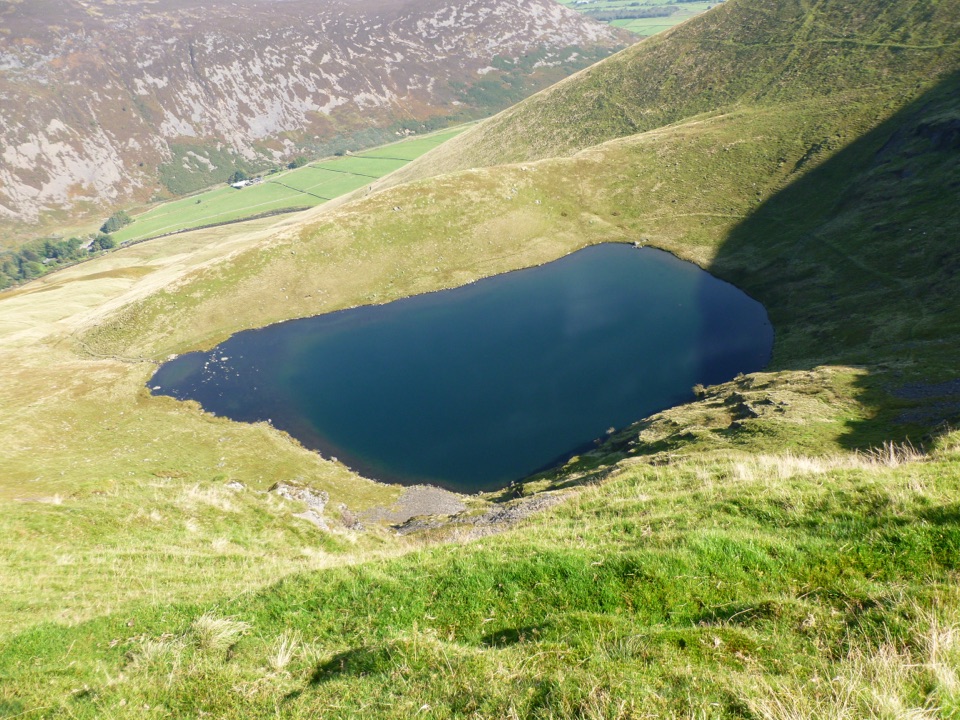 EasyBowscale Tarn5.5 km · 2 hr · 2.2 km awayA quiet mountain tarn in a glacial bowl above Mungrisdale
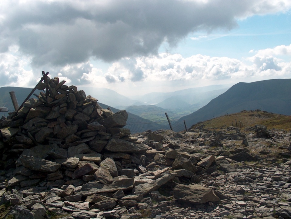 ChallengingGreat Calva and Knott from Mosedale11.9 km · 4.5 hr · 2.6 km awayBoggy, empty moorland behind Skiddaw with two steep, honest fell climbs
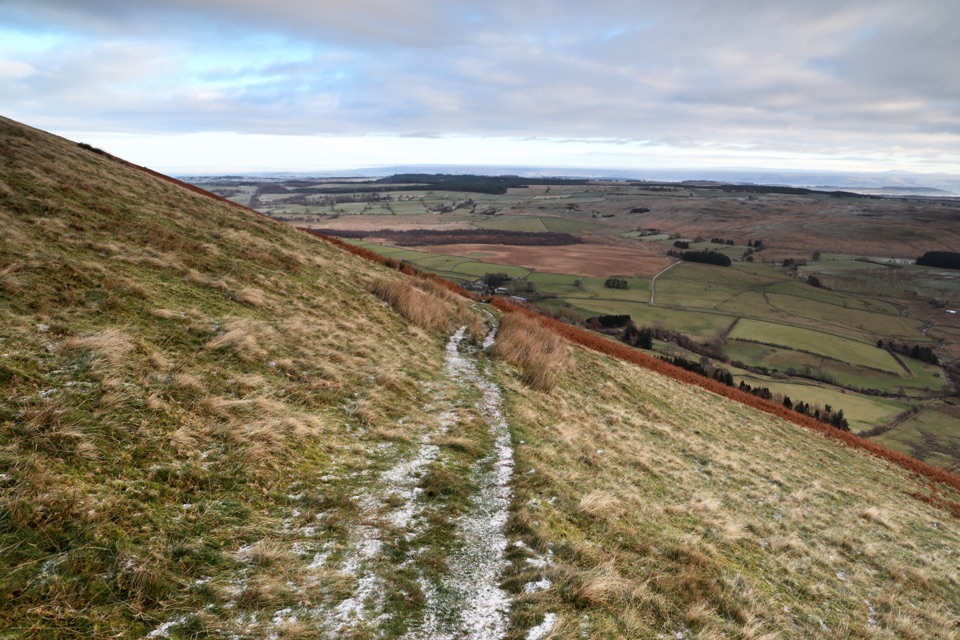 ModerateSouther Fell Loop8 km · 2.8 hr · 3.6 km awayQuiet grassy ridge loop from Mungrisdale with a river valley return
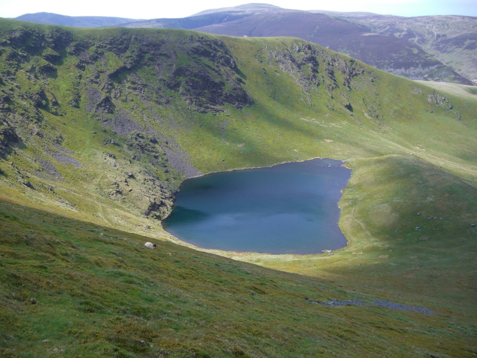 ModerateBowscale Fell Loop8.4 km · 4 hr · 3.7 km awayA quiet ridge walk to a broad northern-fells summit and big views
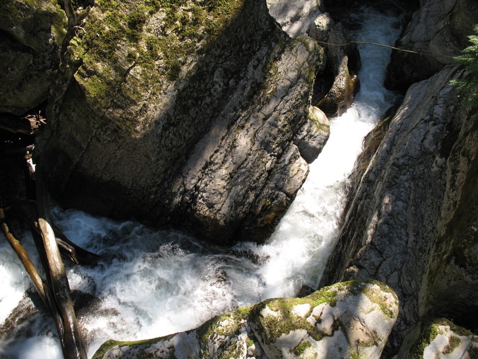 EasyThe Howk, Caldbeck1 km · 30 min · 6.9 km awayA tiny riverside walk to a ruined mill and limestone gorge
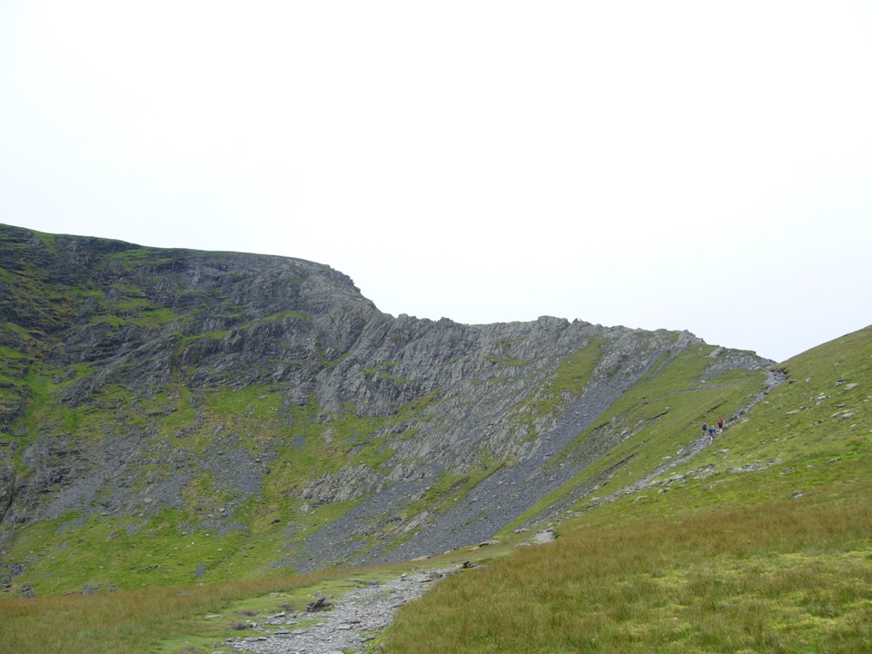 ChallengingBlencathra via Sharp Edge10.6 km · 4.5 hr · 8.9 km awayKnife-edge Grade 1 scrambling above a tarn, then a high ridge descent
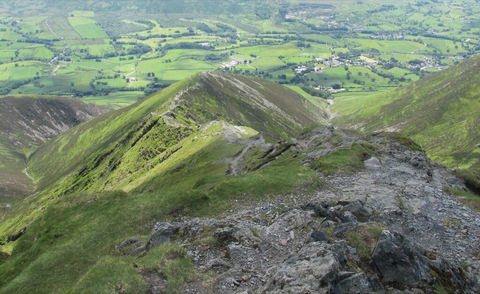 ChallengingBlencathra via Hall's Fell Ridge8.6 km · 4 hr · 8.9 km awayA rocky ridge scramble to Blencathra's best summit approach
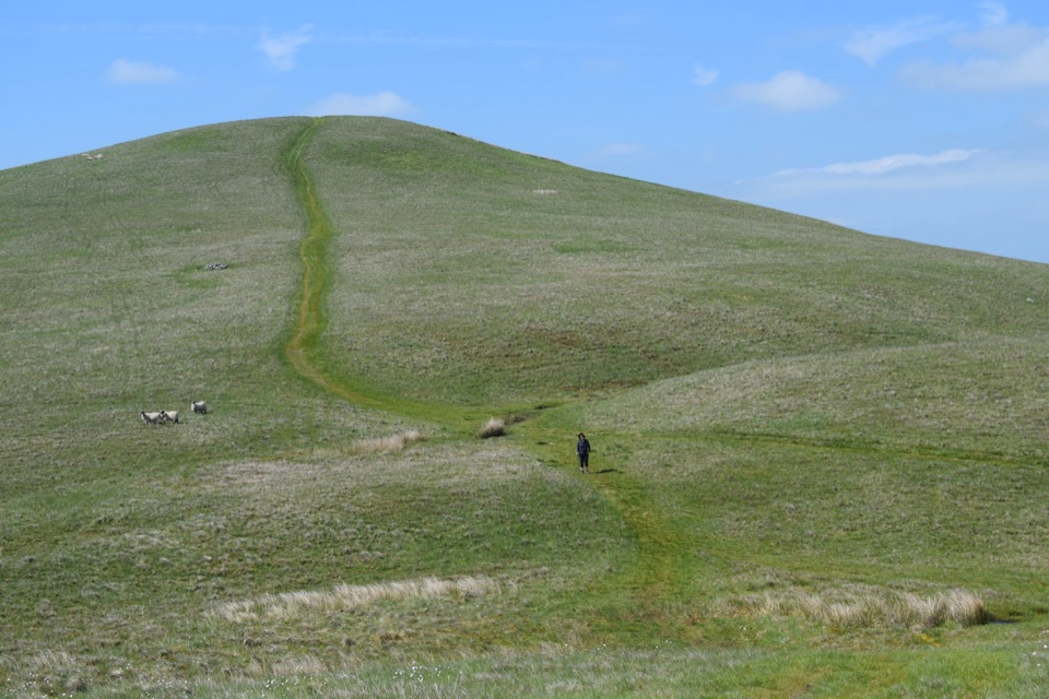 ModerateLonglands, Lowthwaite and Brae Fells7.2 km · 3.3 hr · 9 km awayThree quiet grassy northern fells, big Solway views, barely a soul about
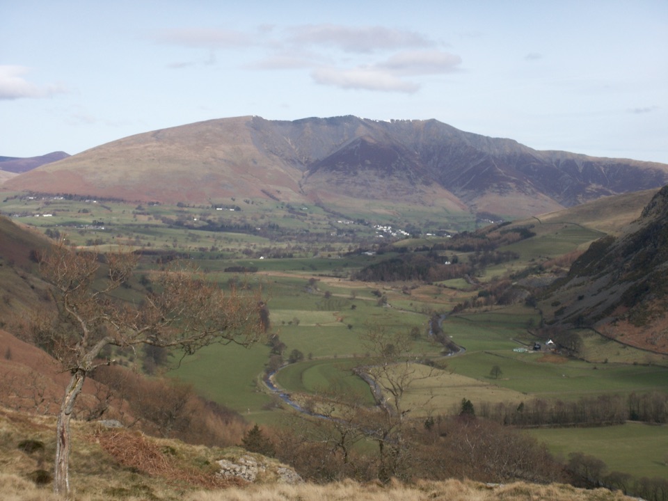 Sight · 6.8 km awayBlencathraTwo famous ridges lead to a broad summit with far-reaching views
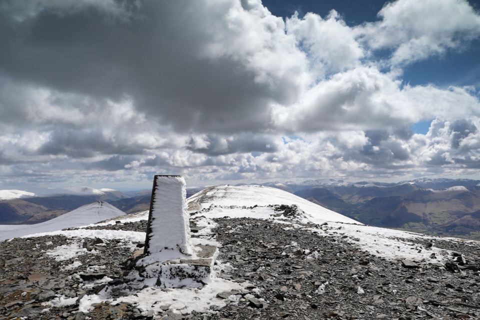 Sight · 10.4 km awaySkiddawA broad, windswept summit with huge views over the northern Lakes
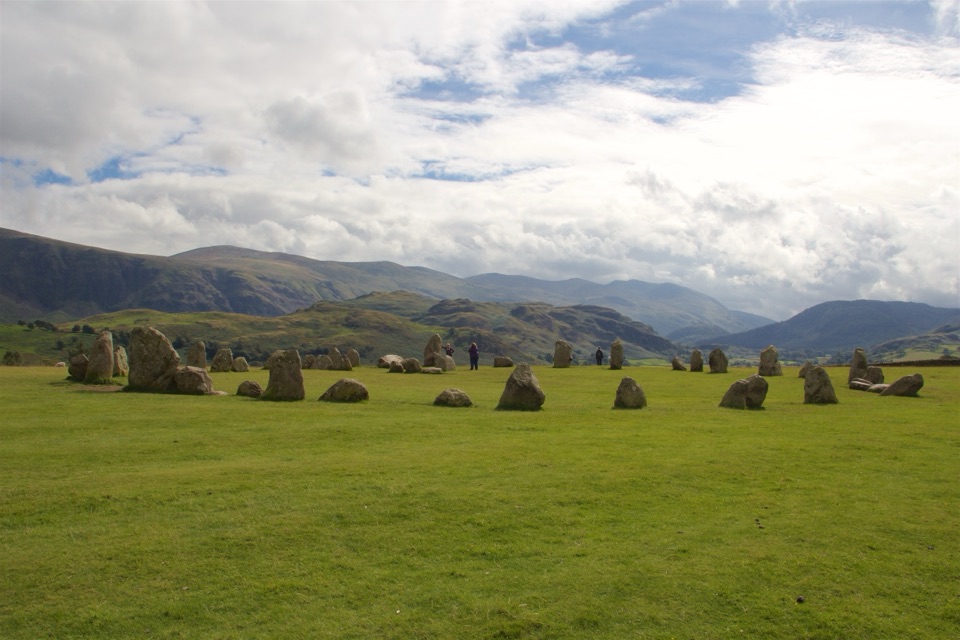 Sight · 11.8 km awayCastlerigg Stone CircleA 4,500-year-old stone ring with a grand mountain backdrop
 Sight · 13.5 km awayKeswickA lively market town framed by Derwentwater and mountain walks
 Sight · 14 km awayAira ForceA wooded waterfall walk with bridges, cascades, and Ullswater views
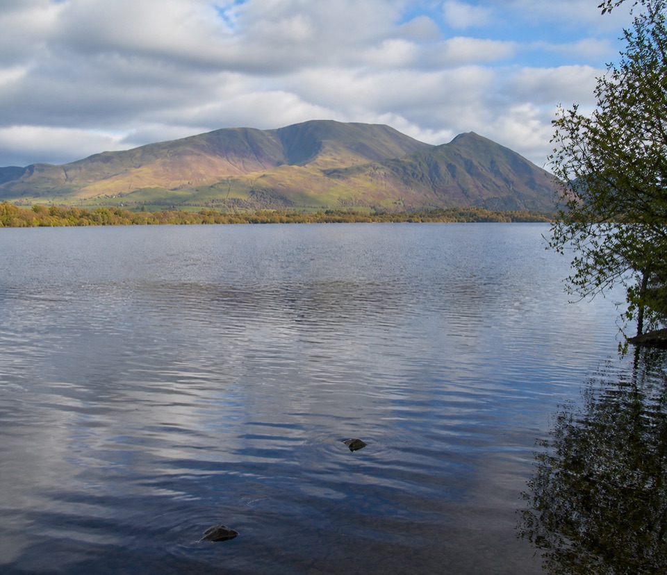 Sight · 14.5 km awayBassenthwaite LakeA quiet wildlife-rich lake beneath Skiddaw
 Sight · 14.6 km awayFriar's CragA level lakeside path to Keswick's classic Derwentwater view
 Sight · 15.3 km awayUllswaterA mountain-rimmed lake made for cruises, walks, and changing light
Parkwolf’s Lake District ranking

The audio tour guide for the drive, plus offline maps, trails, and wildlife heatmaps for when the signal drops.





