Kings Gorge Loop in Lassen Volcanic National Park

Lassen Volcanic National Park, CA

Kings Gorge Loop

A long loop links Juniper Lake, wet meadows and a deep gorge.

Photo: Wikimedia Commons
Length
16.8mi
Time
13hr
Elev. change
1,808ft
Difficulty
Challenging
  • Loop
  • No dogs
  • High point 7,110 ft

Hear the audio tour

The Pika's Winter Pantry

Overview

About Kings Gorge Loop

Why go

  • A rare full-day loop linking high-country lakes, wet meadows and gorge country
  • The road-linked loop has two mapped access points

Heads up

  • Very long, high-elevation outing with an unresolved mileage discrepancy
  • Unbridged gorge ford and a road walk complicate the route

Map & elevation

The route

Loading the Lassen Volcanic map
Full map
Elevation5,302–7,110 ft
TrailheadMount Harkness Trailhead40.42770, -121.33635
Keep this map with you offline in the Parkwolf app

Plan your hike

Before you go

Parking

Mount Harkness Trailhead in Warner Valley is the stored start; Kings Creek Gorge is the other mapped access. The loop uses a lightly used road connector. Walk it or arrange a shuttle after confirming the approach; parking capacity and facilities were not verified.

Best time to go

Expect about 2,100 feet of climbing at roughly 5,200–7,100 feet elevation. The high country is usually most favorable from mid-August into October; snow can linger from November through June, July brings mosquitoes, and high water may persist into early August. Give this a full day with an early start, or plan an overnight.

Safety

The Kings Creek ford is unbridged and can be dangerous or impassable at high water. Standing dead trees in the Dixie Fire-affected Warner Valley and Juniper Lake areas can fall without warning.

1 active Lassen Volcanic alert

  • ClosureJuniper Lake campground and day-use area closedMentions Juniper Lake, referenced in this guideJuniper Lake Campground and day-use area are closed for maintenance and campground-improvement projects. - Potable water is unavailable in the campground.Official details
Lassen Volcanic alerts
A park ranger sits on a dash-mounted phone, talking, as Parkwolf’s Tour Guide plays “Army Cutworm Moths: A Grizzly Bear Buffet” on Grand Loop Road below Dunraven Pass in Yellowstone
Parkwolf Tour GuideThe highest, rockiest slopes around here are a summer buffet for grizzly bears.

Lassen Volcanic Tour Guide

Your drive to Kings Gorge Loop, narrated.

Parkwolf is a GPS audio tour guide for Lassen Volcanic National Park. As you drive, it chimes in with what’s ahead: hidden gems, upcoming stops, history, geology, and wildlife, right through your car’s speakers.

See the Lassen Volcanic audio tour

Recorded for this area

The Pika's Winter Pantry
0:00 / 0:30
“On a walk among high-country rocks, a sharp squeak may give away a pika before you see it. These small relatives of rabbits live in the gaps between boulders.”

Plays on the road 0.1 mi from the trailhead in the Parkwolf Lassen Volcanic Tour Guide.

More stories near here in the app

  • A Dragonfly’s Life Before Flight
  • How Rock Becomes Mud
  • The Lake That Became a Meadow
  • Mount Harkness: Meadow Views and a Lost Lookout
  • 45 audio storiesacross Lassen Volcanic’s roads, triggered by GPS as you drive
  • Wildlife heatmapsfor Black Bear, Bald Eagle, Mule Deer, and 13 more
  • Works offlinemaps, 59 trails, 56 places, and audio download before you lose signal
  • CarPlay readysimple controls built for the drive
★★★★★
“Fantastic app with many points of information… It’s great to just turn on while you’re driving and it gives you an audio tour of the national Park. We love it!!!!”
JMJamesApp Store review
Download Parkwolf on the App StoreGet Parkwolf on Google Play

4.7 from 8,600+ ratings

Trail guide

Hiking Kings Gorge Loop

A long lake-and-gorge loopKings Gorge Loop is a high-country loop between the Mount Harkness side of Warner Valley and…

Kings Gorge Loop is a high-country loop between the Mount Harkness side of Warner Valley and the Juniper Lake–Kings Gorge trail network. The itinerary is published as 16.8 miles, including a lightly used road walk between two trailheads. Tracing the older map line and joining the mapped road measures about 14.6 miles; a second access map gives a different estimate for the road section. That gap is unresolved, so use 16.8 miles as the cautious planning figure and treat the stored line as approximate. This is a very long day hike or an overnight, not a short lake stroll.

Lakes, wetlands and fallsThe mapped loop links Indian Lake, Horseshoe Lake and Juniper Lake with the Grassy Swale and…

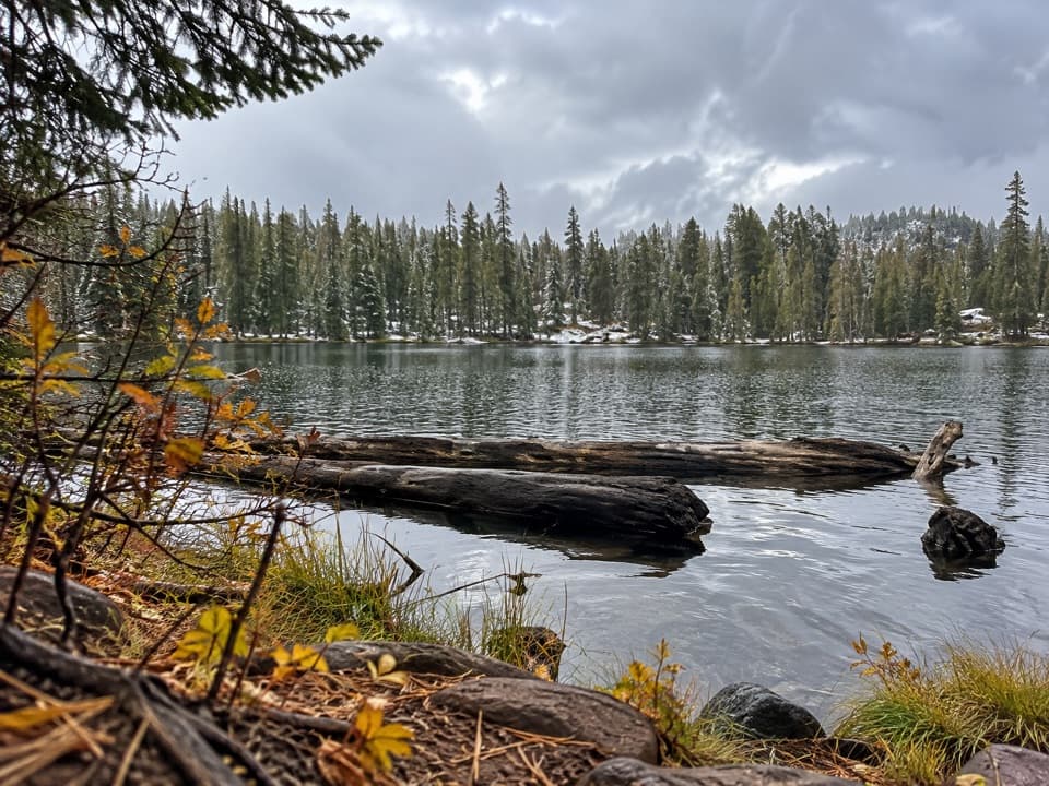
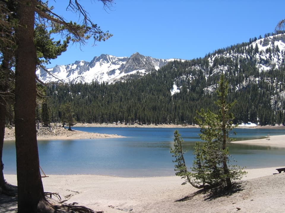
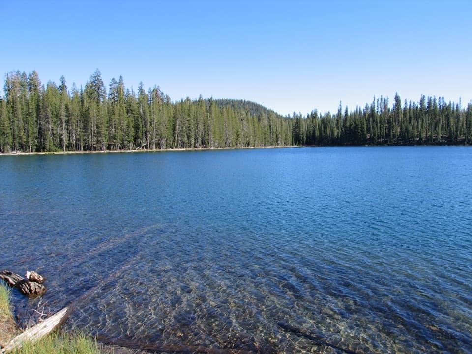
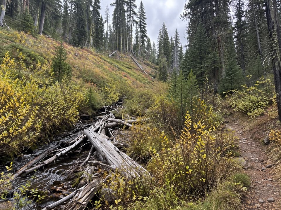
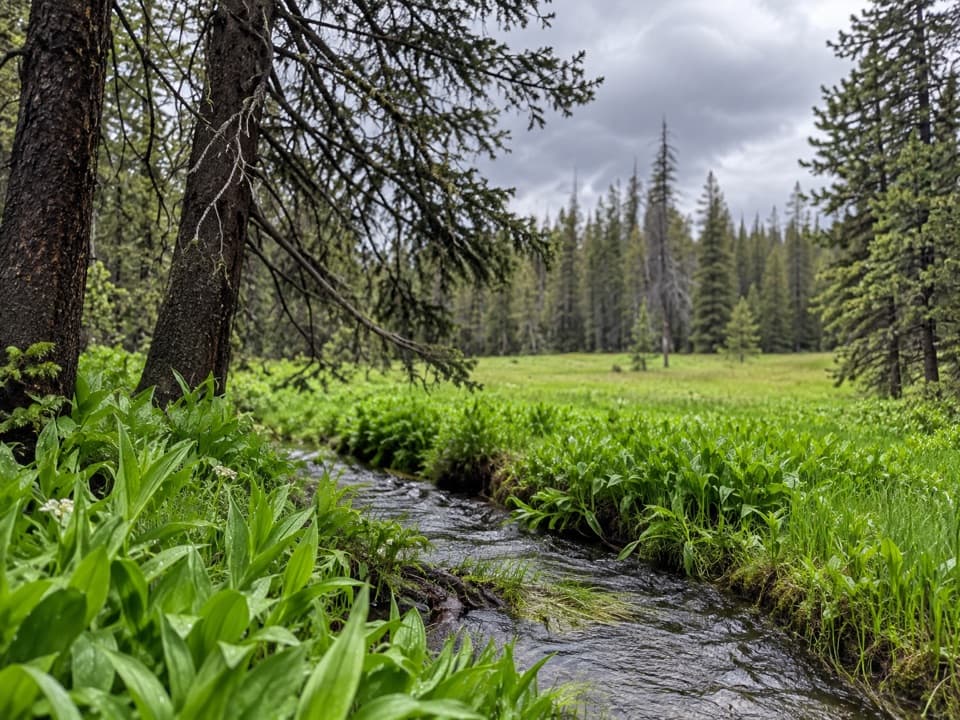
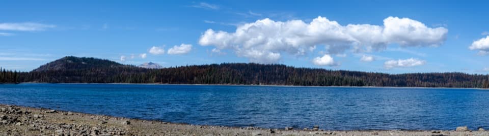
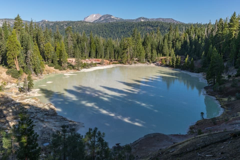
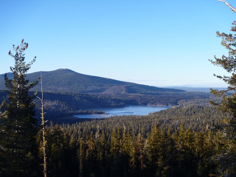
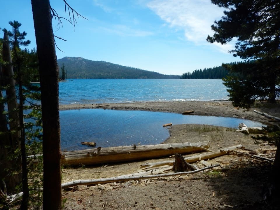
The mapped loop links Indian Lake, Horseshoe Lake and Juniper Lake with the Grassy Swale and Grassy Creek drainages. Boardwalks are marked through the wet ground, with footlogs near Grassy Creek. Mossy Falls and Grassy Swale Falls are named along the route. Juniper Lake is the broad shoreline pause; the tree-lined water is the route’s clearest photo opportunity.

The Kings Creek fordThe route includes an unbridged crossing of Kings Creek in a deep gorge.

The route includes an unbridged crossing of Kings Creek in a deep gorge. High water can make it dangerous or impassable. Later in the season it may still mean wet feet. The route map’s mile marker for the ford assumes its own direction, so do not rely on that number when starting from the other access.

Access and rulesThe stored route starts at Mount Harkness Trailhead in Warner Valley and returns there by the…

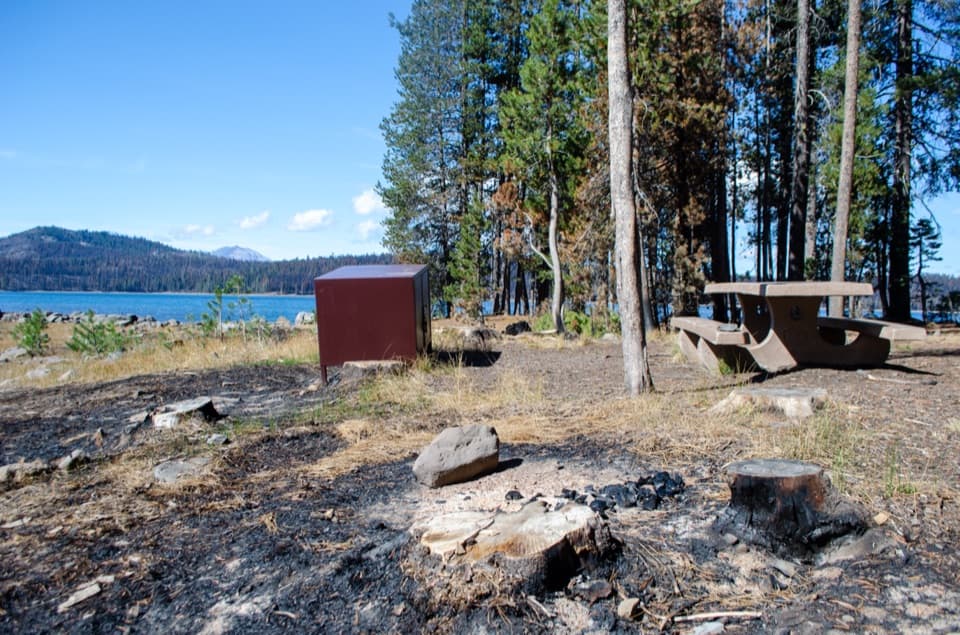
The stored route starts at Mount Harkness Trailhead in Warner Valley and returns there by the road connector; Kings Creek Gorge is the other mapped access. Walk the connector or arrange a shuttle after checking access. Pets are not allowed on park trails or in the backcountry; service animals are exempt. Warner Valley and Juniper Lake were affected by the Dixie Fire, and standing dead trees can fall without warning.

Wildlife

Wildlife in Lassen Volcanic

All Lassen Volcanic wildlife maps

Sighting maps show where each species has been reported across Lassen Volcanic. Wildlife moves, so no sighting is guaranteed.

Keep exploring

Near Kings Gorge Loop

See it all on the map

Trails that start nearby

Places near the trailhead

Parkwolf’s Lassen Volcanic ranking

Top-rated trails in Lassen Volcanic

All 59 trails
  1. 1Lassen Peak TrailChallenging · 5 mi
  2. 2Cinder Cone TrailChallenging · 4 mi
  3. 3Bumpass Hell TrailModerate · 3 mi
  4. 4Brokeoff Mountain TrailChallenging · 7.4 mi
  5. 5Kings Creek Falls TrailModerate · 2.8 mi
  6. 6Manzanita Lake LoopEasy · 1.8 mi

Take Parkwolf to Lassen Volcanic.

The audio tour guide for the drive, plus offline maps, trails, and wildlife heatmaps for when the signal drops.

4.7 from 8,600+ ratings

Download Parkwolf on the App StoreGet Parkwolf on Google Play