Parking
Small layby beside the River Dochart west of Bridge of Dochart; if full, use the car park over the bridge and to the right.
Loch Lomond & The Trossachs National Park, SC
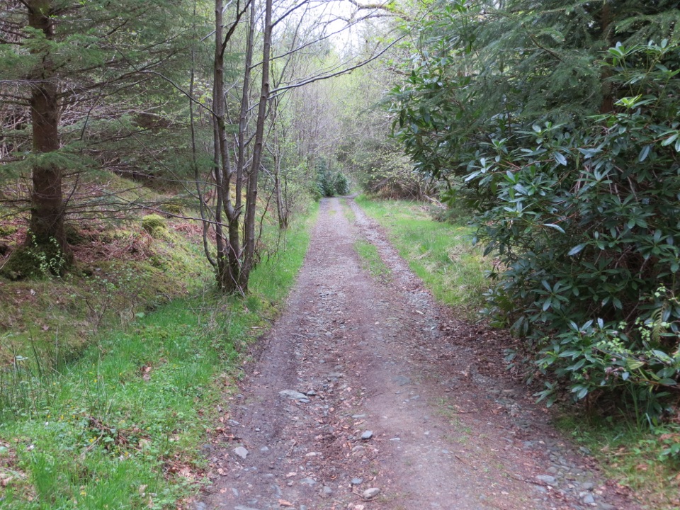
Woodland tracks lead to broad views over Loch Tay.
Overview
Map & elevation
Plan your hike

The highest, rockiest slopes around here are a summer buffet for grizzly bears.
Loch Lomond & The Trossachs Tour Guide
Parkwolf is a GPS audio tour guide for Loch Lomond & The Trossachs National Park. As you drive, it chimes in with what’s ahead: hidden gems, upcoming stops, history, geology, and wildlife, right through your car’s speakers.
Recorded for this trailhead
Falls of Dochart in Killin“Up ahead in Killin, the Falls of Dochart tumble through the village beneath an old stone road bridge.”
Plays as you drive up to this trailhead in the Parkwolf Loch Lomond & The Trossachs Tour Guide.
More stories near here in the app
“Fantastic app with many points of information… It’s great to just turn on while you’re driving and it gives you an audio tour of the national Park. We love it!!!!”


Trail guide
This 2.6-mile (4.2 km) loop starts on the South Loch Tay Road by Killin and returns on the minor road after a circuit through Auchmore woodland. Allow about 1½ hours. The gentle ascent and mostly firm track make it an easy, low-level walk rather than a hill climb.
The estate track is compacted with patches of loose material. It climbs through mixed woodland, crosses Auchmore Burn by bridge, and opens to Loch Tay and the Tarmachan Ridge, Beinn Ghlas and Ben Lawers. Auchmore House once stood on the estate; home to the Earl of Breadalbane, it was demolished in the 1960s. Queen Victoria visited in 1842. Where the trees open, keep the loch beneath the mountain skyline in your photo; it gives the distant hills a sense of scale.
From Killin, cross Bridge of Dochart and turn onto South Loch Tay Road toward Ardeonaig; the estate entrance is about 150 metres along. Take the loop track and return by the minor road toward the village. A small layby sits beside the River Dochart west of the bridge; if it is full, use the car park over the bridge on the right. Expect passing vehicles on the road section.
Wildlife
 14 sightingsGolden EagleMost seen around 6 PMSighting map
 37 sightingsRed DeerMost seen around 7 PMSighting map
 100 sightingsMute SwanMost seen around 11 AMSighting map
 48 sightingsOspreyMost seen around 6 PMSighting map
 24 sightingsEurasian BeaverMost seen around 8 PMSighting map
 37 sightingsEurasian Pine MartenMost seen around 7 PMSighting map
Sighting maps show where each species has been reported across Loch Lomond & The Trossachs. Wildlife moves, so no sighting is guaranteed.
Keep exploring
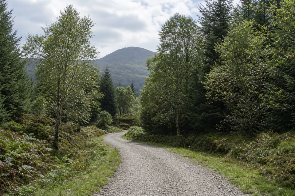 EasyAcharn Forest Circuit6 km · 2 hr · At the trailheadA gentle forest loop on an old railway track with hill views.
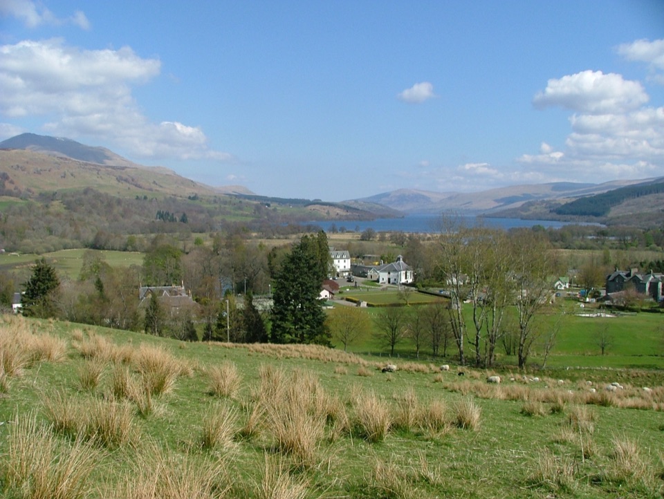 ChallengingSròn a’ Chlachain3.2 km · 2 hr · 0.7 km awayShort climb, wide views over Killin and Loch Tay.
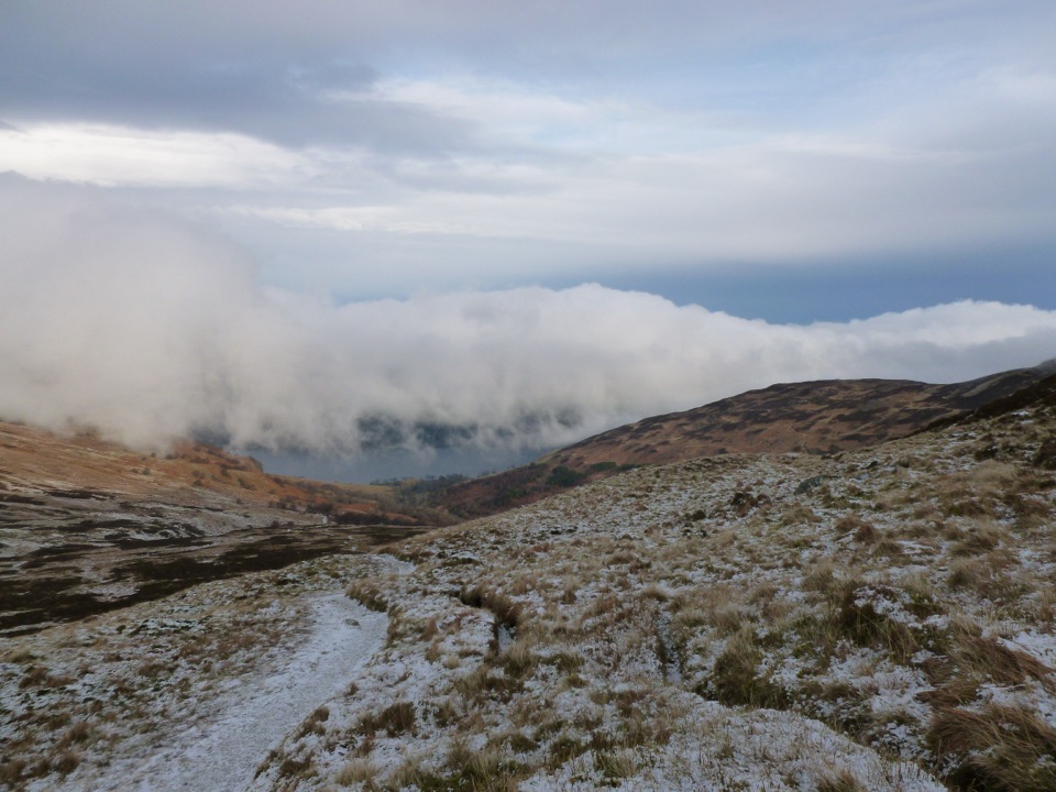 ChallengingBen Vorlich from Loch Earn9.7 km · 5.7 hr · 11.1 km awayA Munro climb with a steep scree ridge above Loch Earn
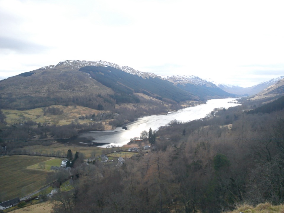 ModerateCreag an Tuirc2.5 km · 1.3 hr · 11.9 km awayA steep climb to the MacLaren clan’s old rallying crag.
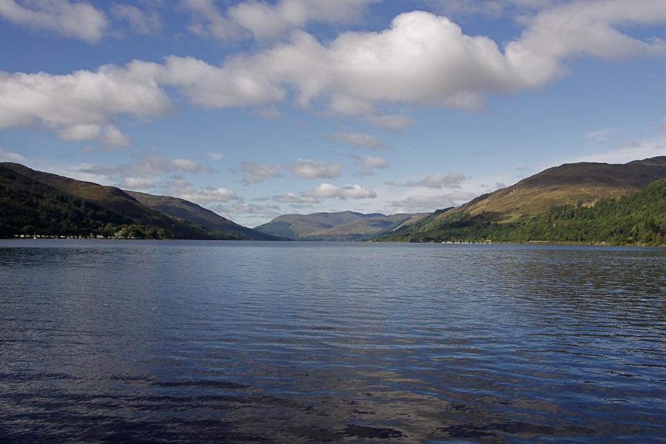 EasyCircle the Village, St Fillans3.2 km · 45 min · 14.9 km awayA low-level village loop with river, woodland and a Loch Earn finish.
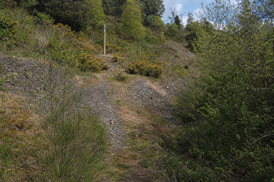 ModerateGoats’ Path Scree3.2 km · 1 hr · 14.9 km awayA short hillside loop with a scrappy scree crossing and loch views
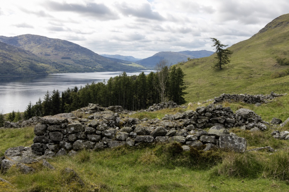 ModerateEaster Glentarken Ruins Loop9.7 km · 3 hr · 14.9 km awayA 10 km loop climbs to old ruins above Loch Earn.
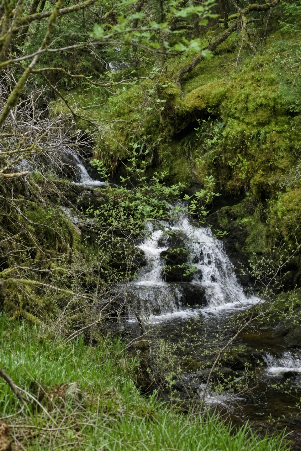 ModerateTighanes Burn Trail2.8 km · 1.5 hr · 15.5 km awaySteep woodland loop to waterfalls and views across Balquhidder.
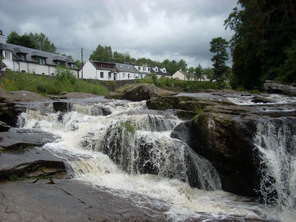 Sight · 0.1 km awayFalls of DochartA village waterfall that roars beneath an old stone bridge.
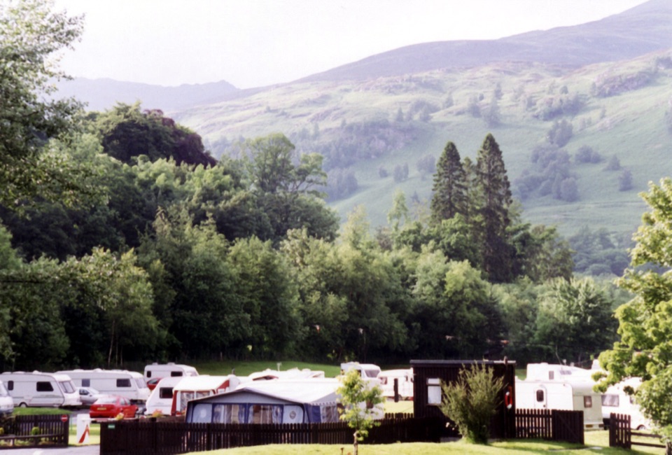 Campground · 1.5 km awayMaragowan Caravan and Motorhome Club CampsiteA riverbank campsite with Killin, the Falls of Dochart and hills nearby.
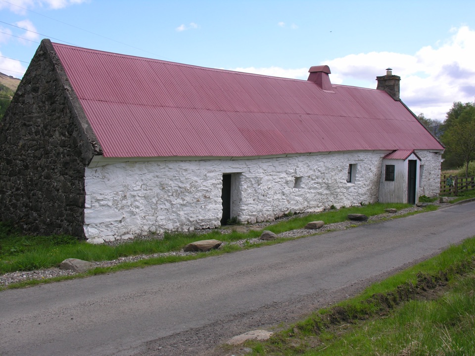 Sight · 2 km awayMoirlanich LonghouseRare cruck-framed longhouse where family and cattle shared one roof
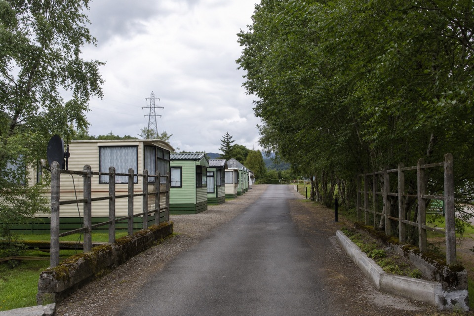 Campground · 10.3 km awayGlen Dochart Caravan and Holiday ParkA peaceful touring base in Glen Dochart, with walks close by.
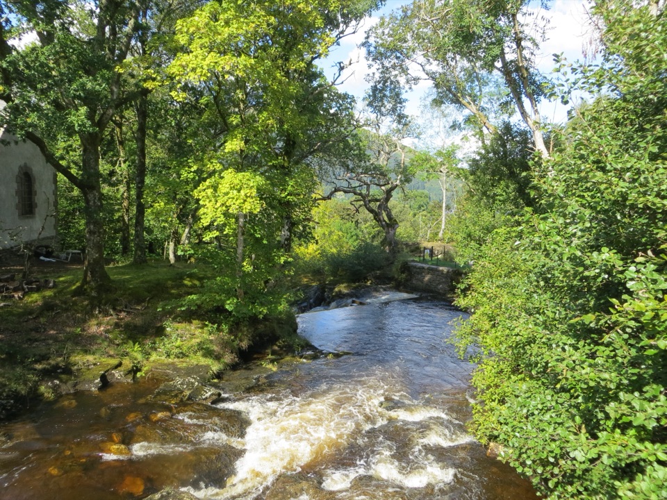 Sight · 10.4 km awayFalls of EdinampleA wooded Loch Earn waterfall with a folklore-rich Gaelic name.
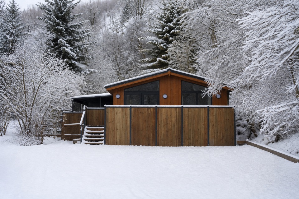 Lodging · 11.2 km awayBalquhidder Braes Holiday ParkHillside lodges with hot tubs beside the Rob Roy Way.
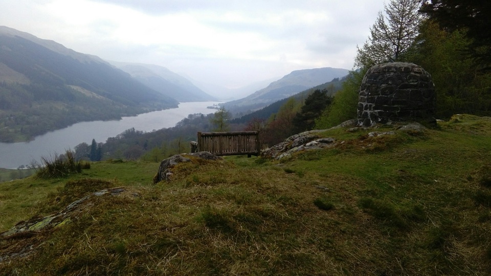 Sight · 11.6 km awayCreag an Tuirc ViewpointA short climb to Loch Voil views and Clan MacLaren history
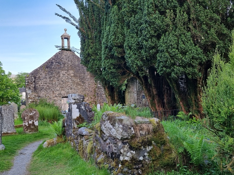 Sight · 11.9 km awayRob Roy’s Grave and Balquhidder Old KirkRob Roy’s grave beside a roofless old kirk in Balquhidder Glen
Parkwolf’s Loch Lomond & The Trossachs ranking

The audio tour guide for the drive, plus offline maps, trails, and wildlife heatmaps for when the signal drops.





