Parking
McLaren Hall car park on Main Street, Killin, is the commonly cited starting access. Enter Breadalbane Park through the main gates near the primary school and follow the park path to the hill route.
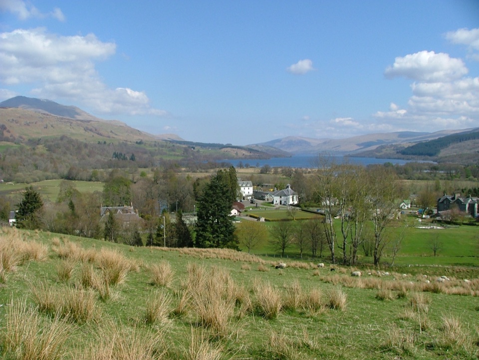
Loch Lomond & The Trossachs National Park, SC
Short climb, wide views over Killin and Loch Tay.
Overview
Sròn a’ Chlachain is a 2-mile out-and-back hill walk from Breadalbane Park to the cairn on the crag, with about 400 metres of ascent. It is short in distance and demanding in effort: allow 1½–2½ hours, and expect the slope to make you earn each mile. The reward is a clear view down over Killin and Loch Tay, with Glen Dochart and Glen Lochay opening across the wider skyline. The name is usually translated as “the peak that resembles a nose above the village,” a good description of the blunt ridge above town. This is a good pick when you want a proper climb but not a full-day outing.
 Parkwolf’s verdictIs this the climb for you?
Map & elevation
Plan your hike

The highest, rockiest slopes around here are a summer buffet for grizzly bears.
Loch Lomond & The Trossachs Tour Guide
Parkwolf is a GPS audio tour guide for Loch Lomond & The Trossachs National Park. As you drive, it chimes in with what’s ahead: hidden gems, upcoming stops, history, geology, and wildlife, right through your car’s speakers.
Recorded for this trailhead
Falls of Dochart in Killin“Up ahead in Killin, the Falls of Dochart tumble through the village beneath an old stone road bridge.”
Plays as you drive up to this trailhead in the Parkwolf Loch Lomond & The Trossachs Tour Guide.
More stories near here in the app
“Fantastic app with many points of information… It’s great to just turn on while you’re driving and it gives you an audio tour of the national Park. We love it!!!!”


Trail guide
Enter Breadalbane Park through the main gates off Main Street near the primary school. Follow the park footpath and take the right fork. A gate leads to a short built path and then a large stile. Past it, the narrow path climbs through a small oak wood, passes under power lines and heads steeply up the hill. The lower slope is rough grazing; higher up it opens into heath and moor. There is little flat ground to break up the ascent. Some sections are loose or boggy, and near the ridge walkers can choose the stepped direct line or a path just to the right; the two lines rejoin before the cairn.
A cairn at the top of the crag is the turnaround for this shorter route. Killin and Loch Tay are spread out below, and the wider views include the two glens. For a photo, leave some of the slope in the foreground and frame Killin and Loch Tay beyond it; that gives a sense of how directly the path climbs out of town. Retrace the same path to return. A damper continuation follows an old stone dyke beyond the cairn toward Creag Bhuidhe and two further cairns; that is a separate longer outing with a different destination, not part of this two-mile walk. Sheep graze the open hill and cattle often use lower fields. Keep dogs under close control and leave them at home during lambing season.
Wildlife
 14 sightingsGolden EagleMost seen around 6 PMSighting map
 37 sightingsRed DeerMost seen around 7 PMSighting map
 100 sightingsMute SwanMost seen around 11 AMSighting map
 48 sightingsOspreyMost seen around 6 PMSighting map
 24 sightingsEurasian BeaverMost seen around 8 PMSighting map
 37 sightingsEurasian Pine MartenMost seen around 7 PMSighting map
Sighting maps show where each species has been reported across Loch Lomond & The Trossachs. Wildlife moves, so no sighting is guaranteed.
Keep exploring
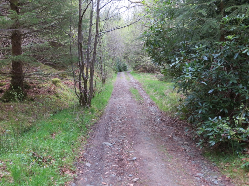 EasyAuchmore Circuit4.2 km · 1.5 hr · 0.7 km awayWoodland tracks lead to broad views over Loch Tay.
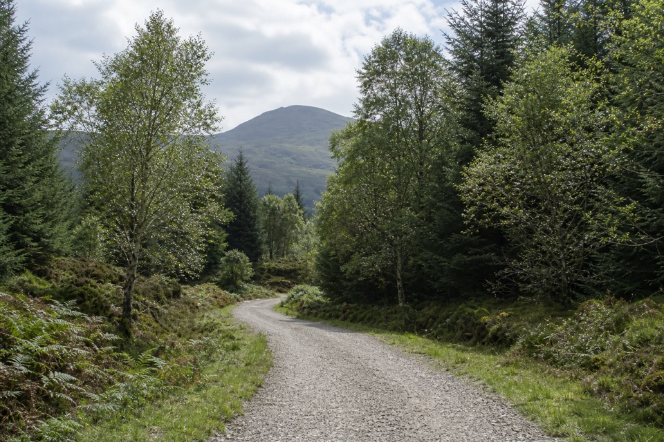 EasyAcharn Forest Circuit6 km · 2 hr · 0.7 km awayA gentle forest loop on an old railway track with hill views.
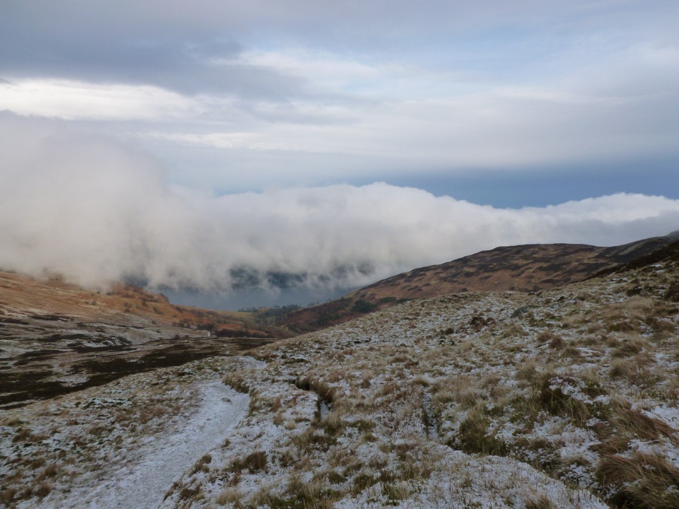 ChallengingBen Vorlich from Loch Earn9.7 km · 5.7 hr · 11.6 km awayA Munro climb with a steep scree ridge above Loch Earn
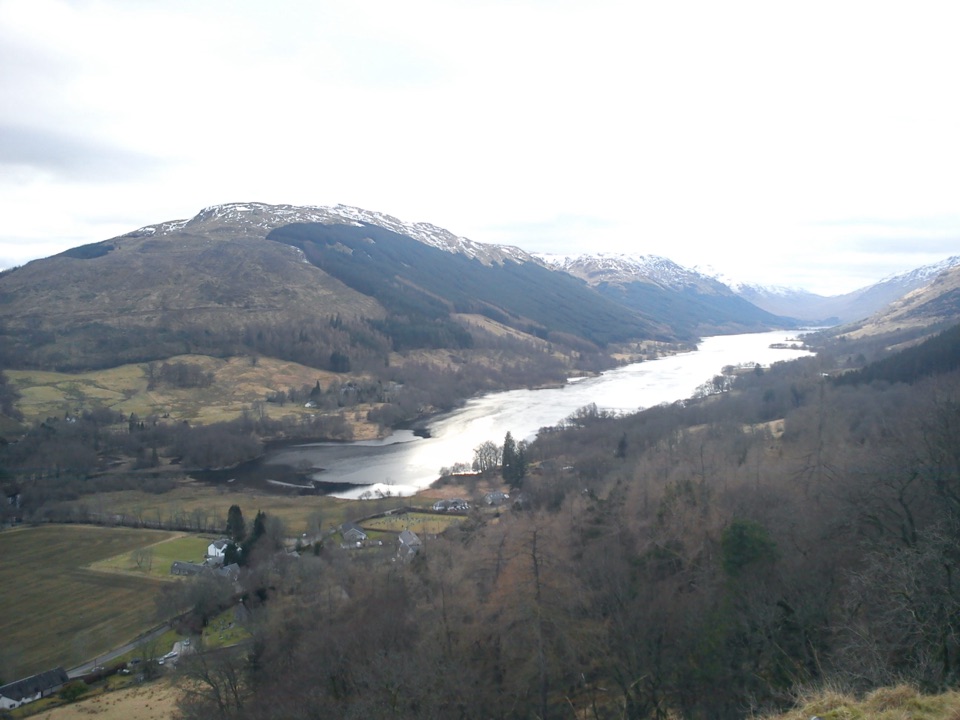 ModerateCreag an Tuirc2.5 km · 1.3 hr · 12.6 km awayA steep climb to the MacLaren clan’s old rallying crag.
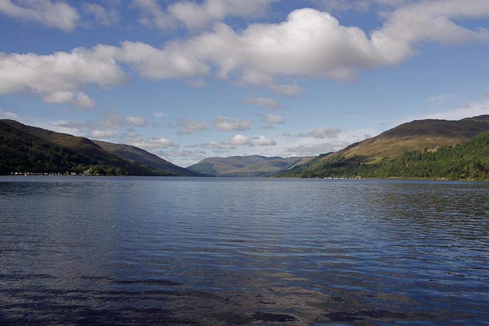 EasyCircle the Village, St Fillans3.2 km · 45 min · 15.3 km awayA low-level village loop with river, woodland and a Loch Earn finish.
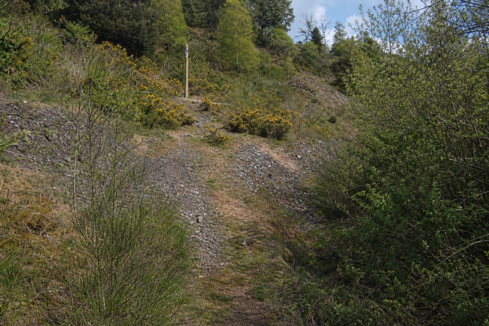 ModerateGoats’ Path Scree3.2 km · 1 hr · 15.3 km awayA short hillside loop with a scrappy scree crossing and loch views
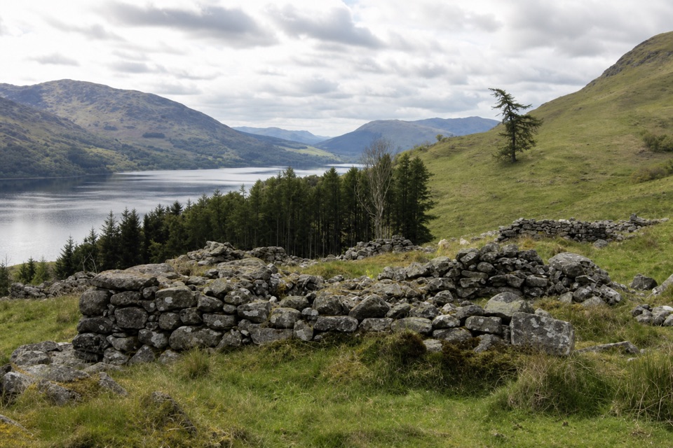 ModerateEaster Glentarken Ruins Loop9.7 km · 3 hr · 15.3 km awayA 10 km loop climbs to old ruins above Loch Earn.
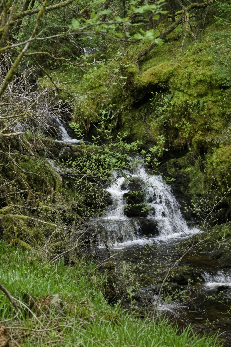 ModerateTighanes Burn Trail2.8 km · 1.5 hr · 16.2 km awaySteep woodland loop to waterfalls and views across Balquhidder.
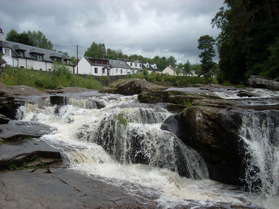 Sight · 0.6 km awayFalls of DochartA village waterfall that roars beneath an old stone bridge.
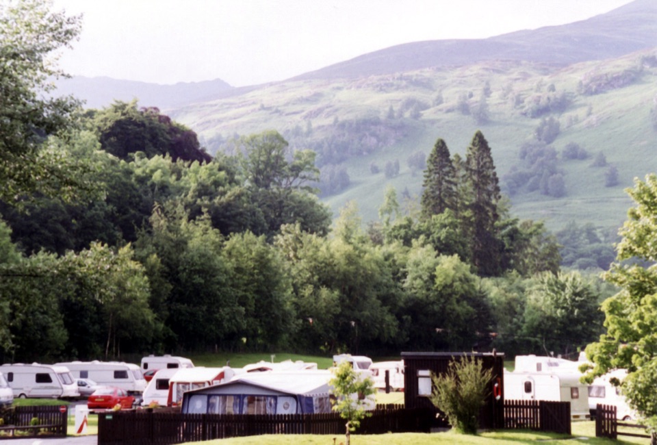 Campground · 0.8 km awayMaragowan Caravan and Motorhome Club CampsiteA riverbank campsite with Killin, the Falls of Dochart and hills nearby.
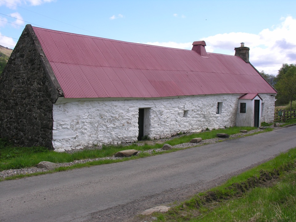 Sight · 1.4 km awayMoirlanich LonghouseRare cruck-framed longhouse where family and cattle shared one roof
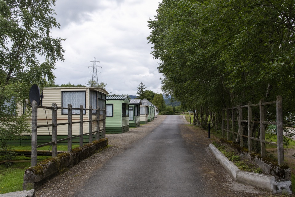 Campground · 10.6 km awayGlen Dochart Caravan and Holiday ParkA peaceful touring base in Glen Dochart, with walks close by.
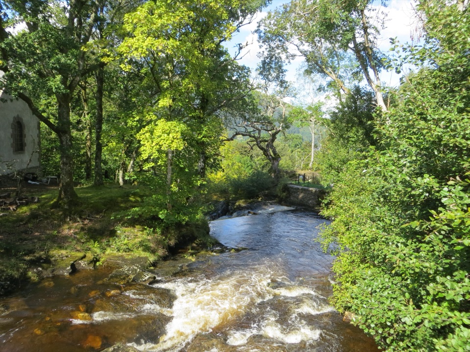 Sight · 11.1 km awayFalls of EdinampleA wooded Loch Earn waterfall with a folklore-rich Gaelic name.
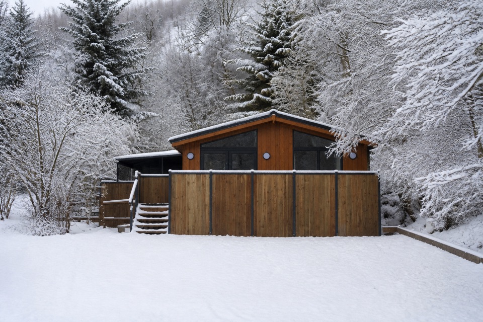 Lodging · 11.9 km awayBalquhidder Braes Holiday ParkHillside lodges with hot tubs beside the Rob Roy Way.
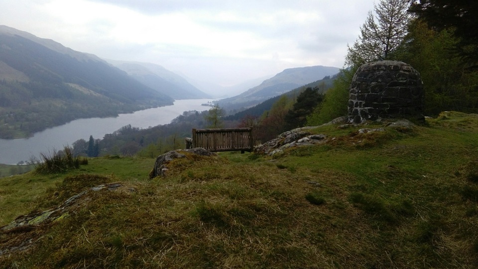 Sight · 12.3 km awayCreag an Tuirc ViewpointA short climb to Loch Voil views and Clan MacLaren history
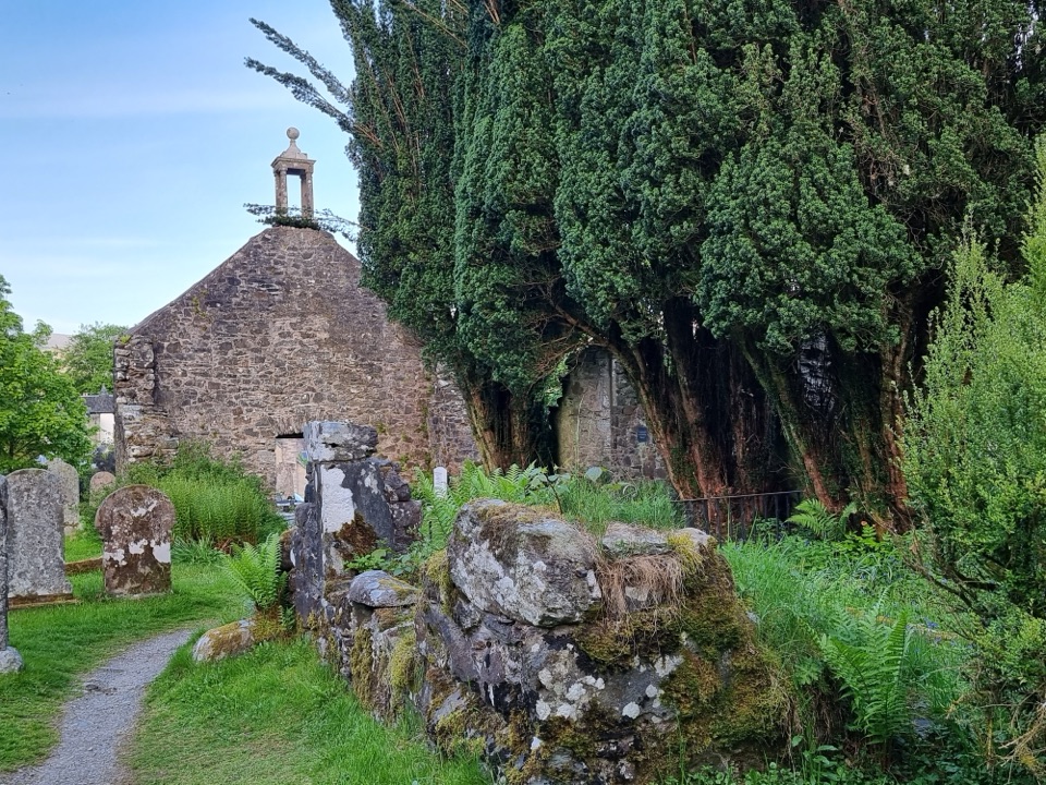 Sight · 12.6 km awayRob Roy’s Grave and Balquhidder Old KirkRob Roy’s grave beside a roofless old kirk in Balquhidder Glen
Parkwolf’s Loch Lomond & The Trossachs ranking
The audio tour guide for the drive, plus offline maps, trails, and wildlife heatmaps for when the signal drops.





