Parking
The route starts at the Village Information Point beside the River Earn footbridge in St Fillans. No dedicated trail parking was confirmed.
Loch Lomond & The Trossachs National Park, SC
A 10 km loop climbs to old ruins above Loch Earn.
Overview
Map & elevation
Plan your hike

The highest, rockiest slopes around here are a summer buffet for grizzly bears.
Loch Lomond & The Trossachs Tour Guide
Parkwolf is a GPS audio tour guide for Loch Lomond & The Trossachs National Park. As you drive, it chimes in with what’s ahead: hidden gems, upcoming stops, history, geology, and wildlife, right through your car’s speakers.
Recorded for this trailhead
St Fillans and Easter Glentarken“Up ahead in St Fillans, the Easter Glentarken loop climbs above Loch Earn to the broken walls of a former weaving settlement.”
Plays as you drive up to this trailhead in the Parkwolf Loch Lomond & The Trossachs Tour Guide.
More stories near here in the app
“Fantastic app with many points of information… It’s great to just turn on while you’re driving and it gives you an audio tour of the national Park. We love it!!!!”


Trail guide
This is a 6-mile (10 km) loop from St Fillans to the Easter Glentarken settlement and back, taking about 3 hours. It climbs through woodland to the hillside ruins, crosses open moorland, then returns on the old Loch Earn railway path. The route is graded moderate. Expect a proper half-day walk with a noticeable climb, narrow muddy ground and a stretch where the path is faint.
Start at the Village Information Point beside the River Earn footbridge and walk west along the main road to Four Seasons. A tarmac track passes a hydro station and two concrete railway arches before meeting the disused railway path. After about 300 m, take the signed narrow path uphill through Glentarken Wood. Cross Allt An Fhionn on its small wooden bridge, then climb to the forestry track and pass through a deer gate. Near the ruins, the track narrows to a single path. The surface changes from firm track to muddy, uneven ground as you gain height.
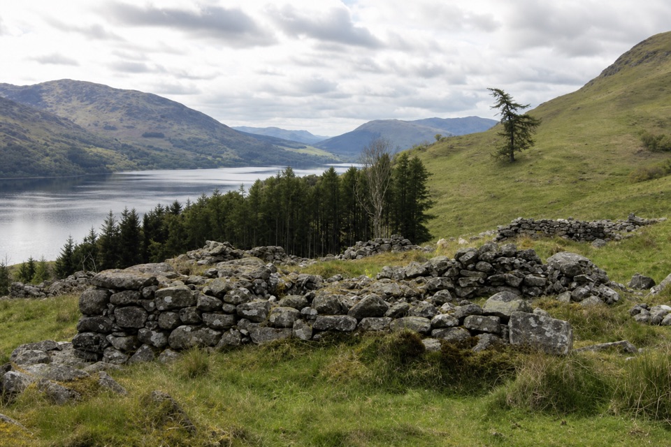
The broken stone walls sit above Loch Earn, with views across the water to Ben Vorlich and Stuc a’ Chroin. Easter Glentarken was a weaving settlement, with several families, two mills on the burn and a lime kiln. The Highland Clearances contributed to its decline, and fragments of the settlement remain on the slope. This is a good place to pause: the ruined walls and the loch view give the walk its distinctive payoff.
Beyond the ruins, follow the faint moorland path via a yellow marker, a cottage and Jerusalem, a ruined croft, then descend to a metal bridge over Glentarken Burn. The route joins Glentarken Track and zigzags down to the railway path. Turn left, east, and return to St Fillans, leaving the railway by the access used on the way out. The moorland section is the easiest place to lose the route, and the narrow paths can be muddy and uneven. Dogs are allowed under Scotland’s access rules; keep them close or on a short lead near livestock and ground-nesting birds, especially from April through July.
Wildlife
 14 sightingsGolden EagleMost seen around 6 PMSighting map
 37 sightingsRed DeerMost seen around 7 PMSighting map
 100 sightingsMute SwanMost seen around 11 AMSighting map
 48 sightingsOspreyMost seen around 6 PMSighting map
 24 sightingsEurasian BeaverMost seen around 8 PMSighting map
 37 sightingsEurasian Pine MartenMost seen around 7 PMSighting map
Sighting maps show where each species has been reported across Loch Lomond & The Trossachs. Wildlife moves, so no sighting is guaranteed.
Keep exploring
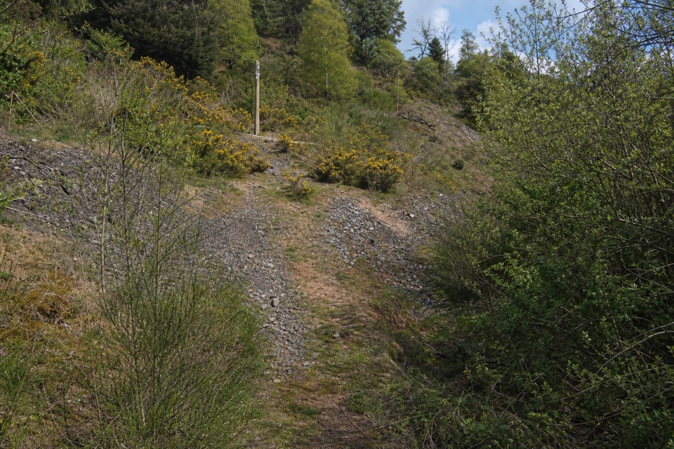 ModerateGoats’ Path Scree3.2 km · 1 hr · At the trailheadA short hillside loop with a scrappy scree crossing and loch views
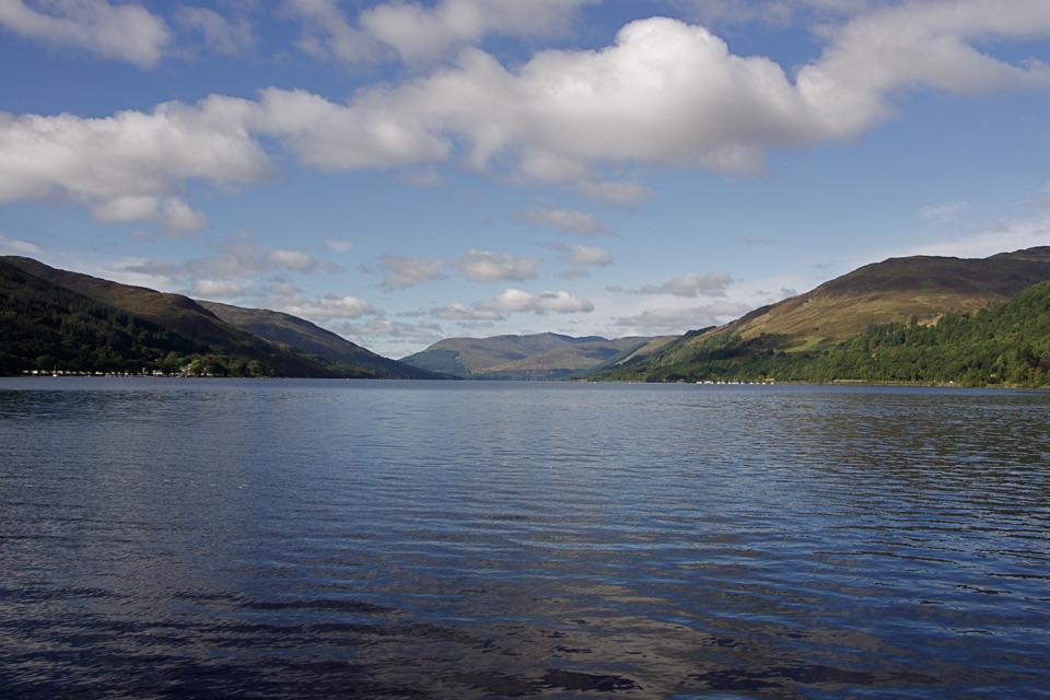 EasyCircle the Village, St Fillans3.2 km · 45 min · At the trailheadA low-level village loop with river, woodland and a Loch Earn finish.
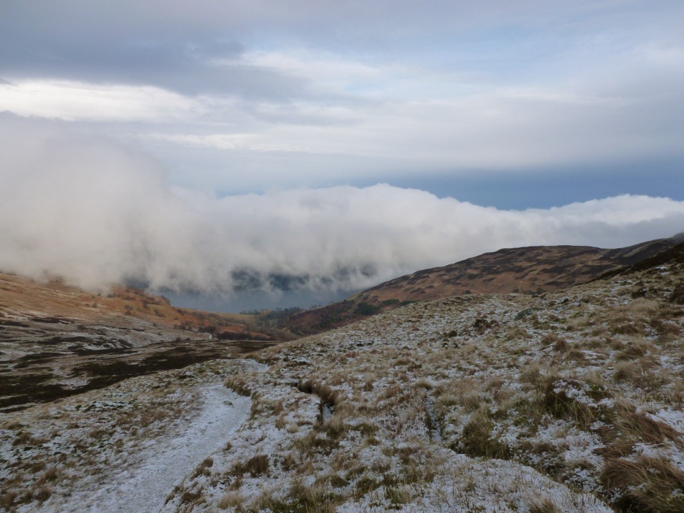 ChallengingBen Vorlich from Loch Earn9.7 km · 5.7 hr · 6.4 km awayA Munro climb with a steep scree ridge above Loch Earn
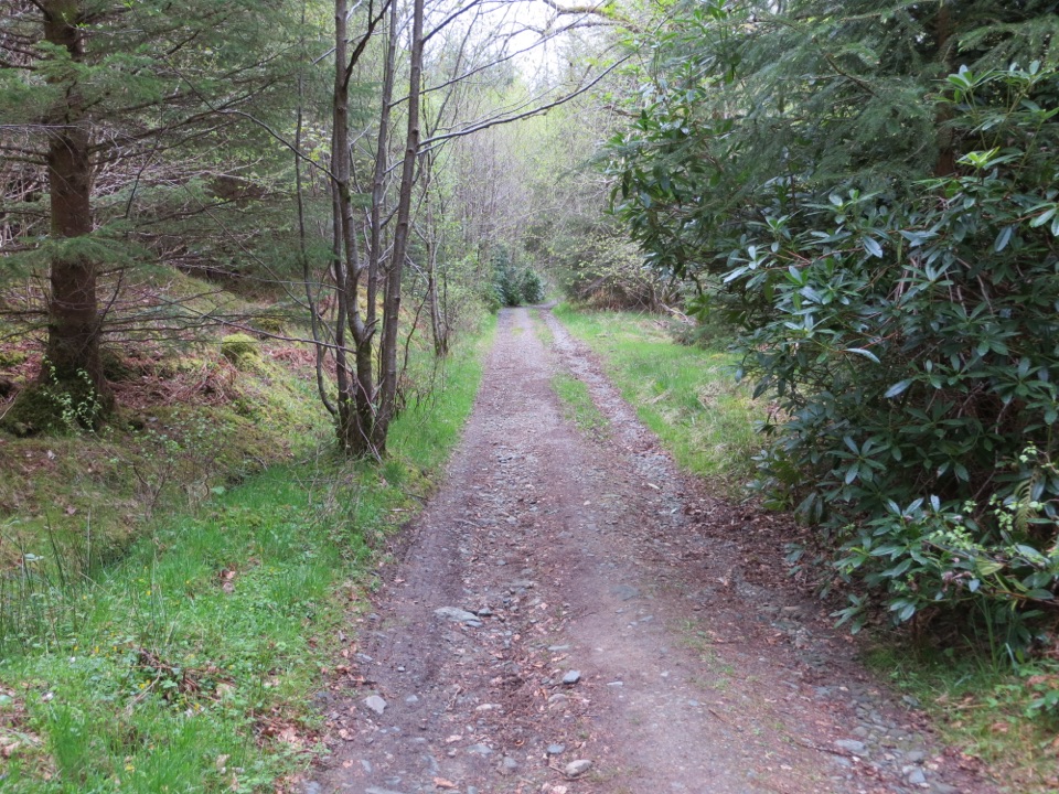 EasyAuchmore Circuit4.2 km · 1.5 hr · 14.9 km awayWoodland tracks lead to broad views over Loch Tay.
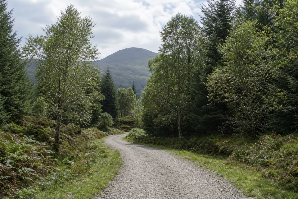 EasyAcharn Forest Circuit6 km · 2 hr · 15 km awayA gentle forest loop on an old railway track with hill views.
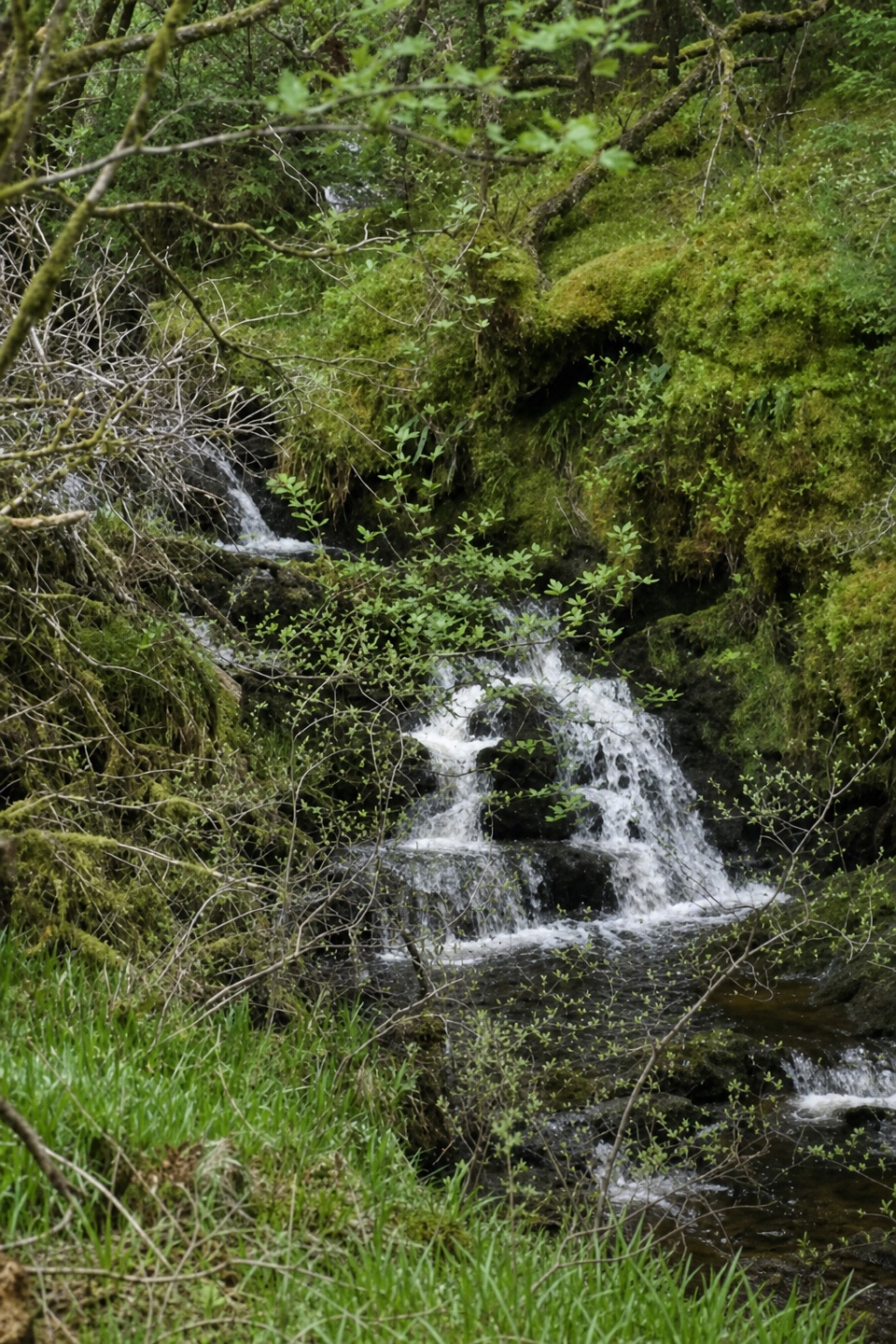 ModerateTighanes Burn Trail2.8 km · 1.5 hr · 15.2 km awaySteep woodland loop to waterfalls and views across Balquhidder.
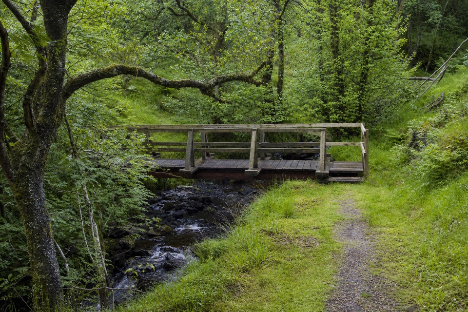 ModerateTighanes Burn Trail2.8 km · 1.5 hr · 15.2 km awayA short loop climbs past waterfalls into native pinewood
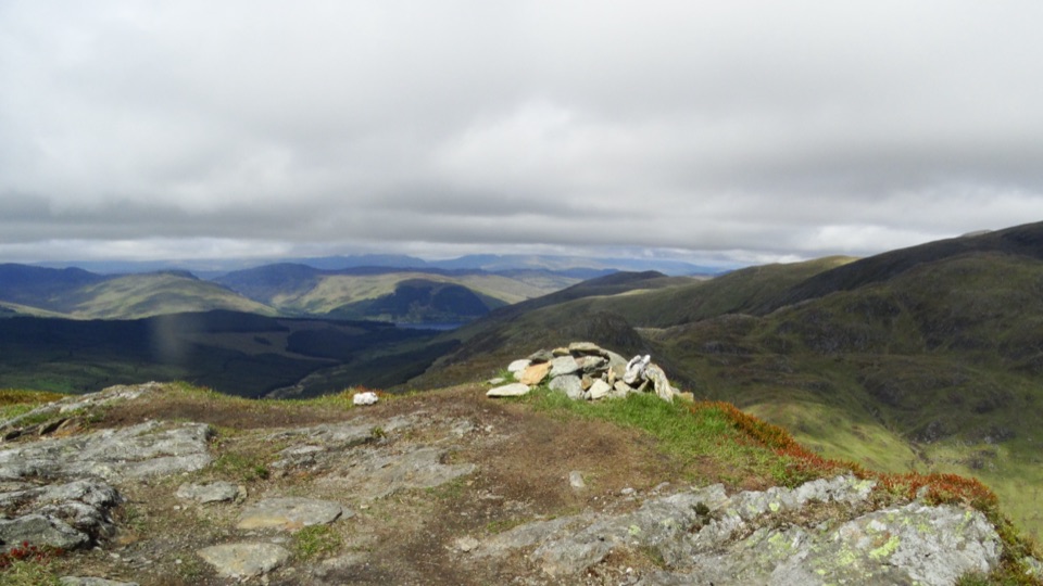 ChallengingBeinn Each6.8 km · 4 hr · 15.3 km awayA steep Corbett climb to a tiny cairn and wide Forth views
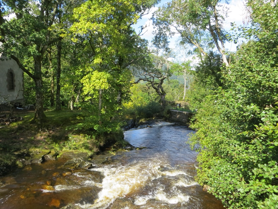 Sight · 9.5 km awayFalls of EdinampleA wooded Loch Earn waterfall with a folklore-rich Gaelic name.
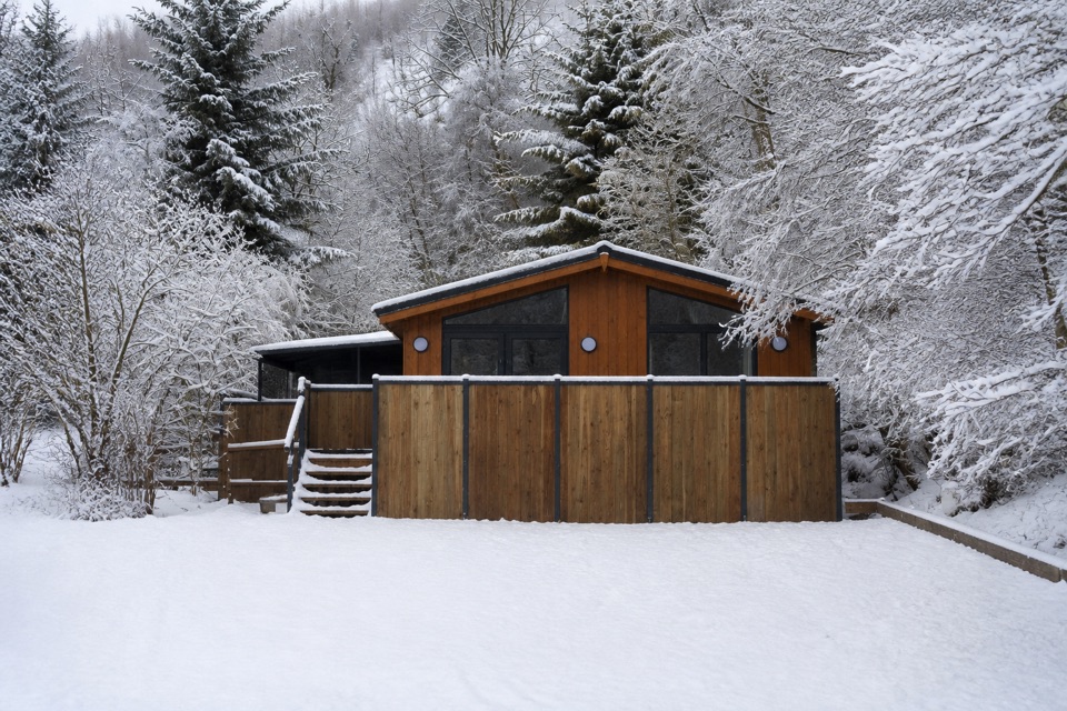 Lodging · 12.3 km awayBalquhidder Braes Holiday ParkHillside lodges with hot tubs beside the Rob Roy Way.
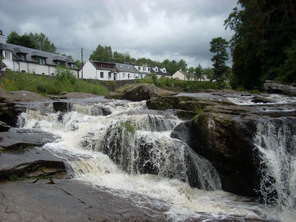 Sight · 15 km awayFalls of DochartA village waterfall that roars beneath an old stone bridge.
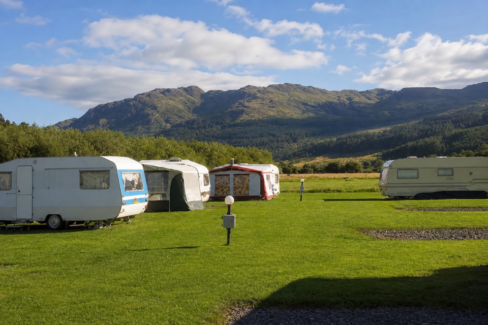 Campground · 15.5 km awayImmervoulin Caravan & Camping ParkA riverside campsite with mountain views and a walk to Loch Lubnaig.
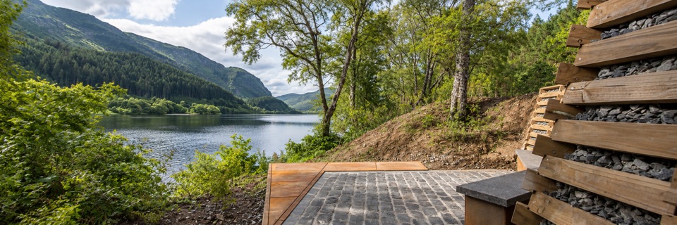 Sight · 15.6 km awayFaerie Hollow — Loch LubnaigVerse in metal tucked in a faerie hollow facing Ben Ledi
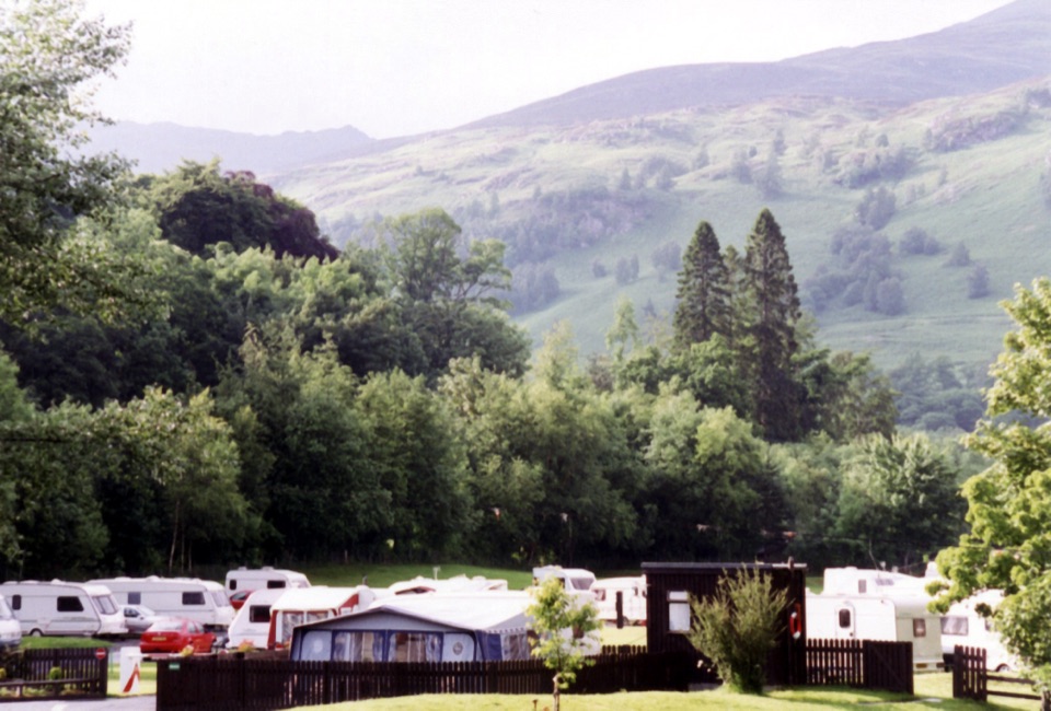 Campground · 15.8 km awayMaragowan Caravan and Motorhome Club CampsiteA riverbank campsite with Killin, the Falls of Dochart and hills nearby.
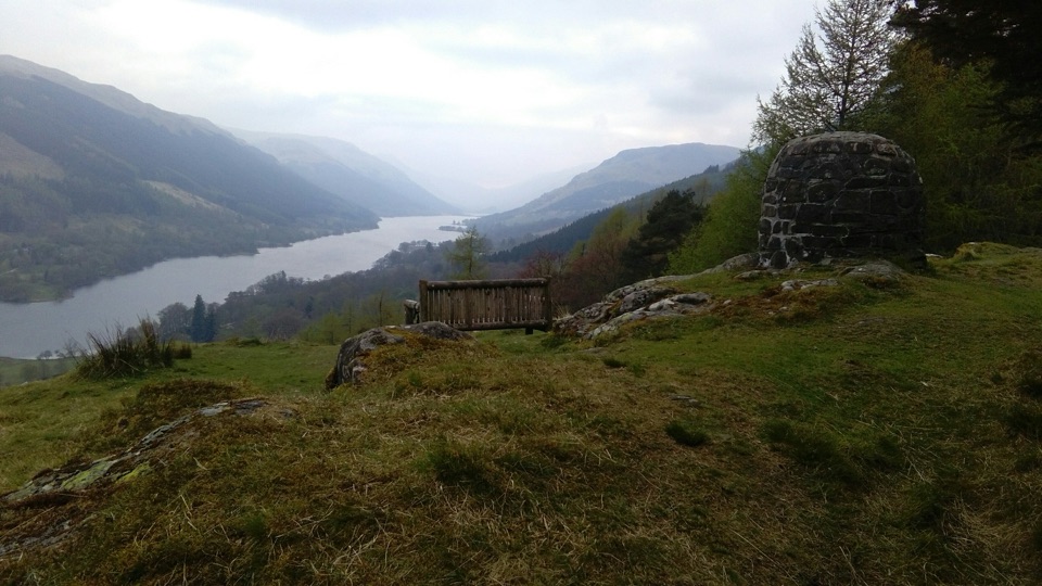 Sight · 15.9 km awayCreag an Tuirc ViewpointA short climb to Loch Voil views and Clan MacLaren history
Parkwolf’s Loch Lomond & The Trossachs ranking

The audio tour guide for the drive, plus offline maps, trails, and wildlife heatmaps for when the signal drops.





