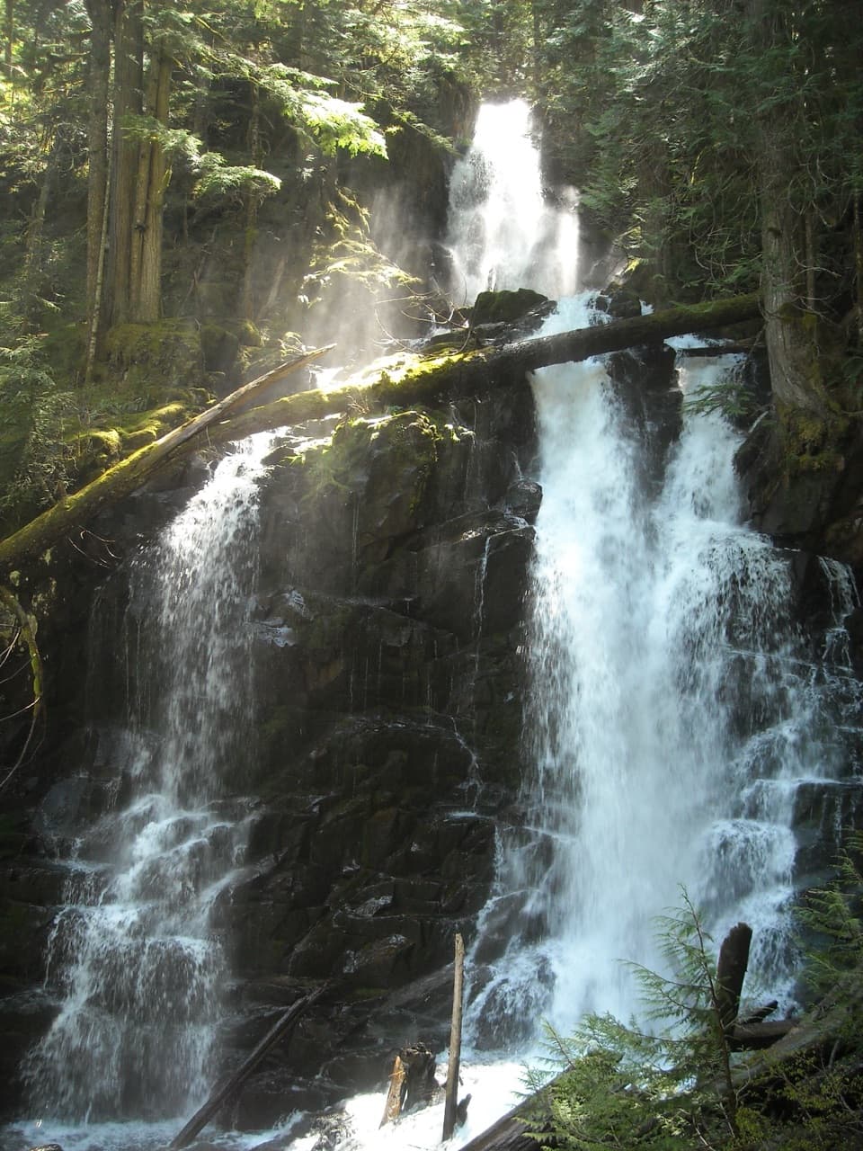
Golden Lakes and Sunset Park Trail in Mount Rainier National Park

Mount Rainier National Park, WA

Golden Lakes and Sunset Park Trail

A strenuous out-and-back to a lake cluster and a 1922 patrol cabin.

Photo: National Park Service
Length
18.8mi
Time
10hr
Elev. change
2,333ft
Difficulty
Challenging
  • No dogs
  • High point 4,984 ft

Hear the audio tour

When People Added the Fish

Overview

About Golden Lakes and Sunset Park Trail

Why go

  • A string of fifteen-plus lakes and a historic patrol cabin.
  • A rewarding Wonderland Trail route through old-growth forest, river valley, and meadows.

Heads up

  • An 18.8-mile round trip with a long descent and steep climb.
  • The South Mowich crossing uses seasonal logs and can change after rain.

Map & elevation

The route

Loading the Mount Rainier map
Full map
Elevation2,651–4,984 ft
TrailheadMowich Lake Trailhead (south shore)46.93070, -121.86280
Keep this map with you offline in the Parkwolf app

Plan your hike

Before you go

Parking

Start at Mowich Lake Trailhead on the lake’s south shore; the mapped trail begins a short walk from the access point. The separate Paul Peak approach is not included in this route. Parking capacity and amenities at the trailhead were not confirmed.

Safety

The route descends to the braided South Mowich River and crosses on seasonal logs that can wash out after prolonged rain. Water can be scarce on the ridge in late summer; treat all backcountry water. Pets and fires are prohibited.

7 active Mount Rainier alerts

  • ClosureSR 165 bridge closed: no public access to Carbon River or Mowich LakeMentions Mowich Lake, referenced in this guideThe SR 165 Carbon River/Fairfax Bridge is closed to vehicles, bicycles, and pedestrians; there is no public access or alternate route to Carbon River or Mowich Lake.Official details
  • ClosureWildfire closures in the northern parkGrand Park 2 and Wonderland Complex fire closures affect trails, backcountry camps, and Sunrise access; stay out of closed areas.Official details
See all 7 alerts
A park ranger sits on a dash-mounted phone, talking, as Parkwolf’s Tour Guide plays “Army Cutworm Moths: A Grizzly Bear Buffet” on Grand Loop Road below Dunraven Pass in Yellowstone
Parkwolf Tour GuideThe highest, rockiest slopes around here are a summer buffet for grizzly bears.

Mount Rainier Tour Guide

Your drive to Golden Lakes and Sunset Park Trail, narrated.

Parkwolf is a GPS audio tour guide for Mount Rainier National Park. As you drive, it chimes in with what’s ahead: hidden gems, upcoming stops, history, geology, and wildlife, right through your car’s speakers.

See the Mount Rainier audio tour

Recorded for this area

When People Added the Fish
0:00 / 0:33
“The fish in Rainier's lakes have a human history. These lakes were naturally fishless, even though native fish lived in the park's rivers.”

Plays on the road 0.8 mi from the trailhead in the Parkwolf Mount Rainier Tour Guide.

More stories near here in the app

  • Tolmie's Botanical Journey
  • The Bee That Shakes the Flower
  • Paul Peak: Downhill Into the Forest
  • An Alder's Underground Helpers
  • 77 audio storiesacross Mount Rainier’s roads, triggered by GPS as you drive
  • Wildlife heatmapsfor Mountain Goat, Black Bear, Wolverine, and 13 more
  • Works offlinemaps, 99 trails, 87 places, and audio download before you lose signal
  • CarPlay readysimple controls built for the drive
★★★★★
“Fantastic app with many points of information… It’s great to just turn on while you’re driving and it gives you an audio tour of the national Park. We love it!!!!”
JMJamesApp Store review
Download Parkwolf on the App StoreGet Parkwolf on Google Play

4.7 from 8,600+ ratings

Trail guide

Hiking Golden Lakes and Sunset Park Trail

A long out-and-backThis is an 18.

This is an 18.8-mile round trip from Mowich Lake on the Wonderland Trail to a string of lakes and the Sunset Park Patrol Cabin. The park lists 10 hours for the return walk but recommends spreading the distance over two days. It is a hard, remote hike even though published elevation-gain figures disagree: one lists 2,500 feet and another 5,200. The long drop to the river and climb back to the ridge are the work. Get a backcountry permit if you plan to camp.

Down to South Mowich, then upFrom Mowich’s south shore, follow the Wonderland Trail to the Paul Peak junction, then descend…

From Mowich’s south shore, follow the Wonderland Trail to the Paul Peak junction, then descend through old-growth forest toward the North Mowich River and South Mowich River Camp. The South Mowich is braided, with seasonal log crossings. On the far side, a long series of switchbacks climbs the ridge. Late in summer, water can be scarce up there, so plan your refills before leaving the river.

Above the riverThe climb moves through cedar, hemlock, and fir before the trail opens into meadow pockets with…

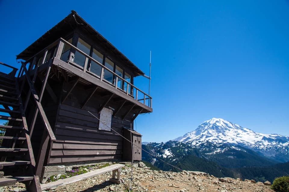
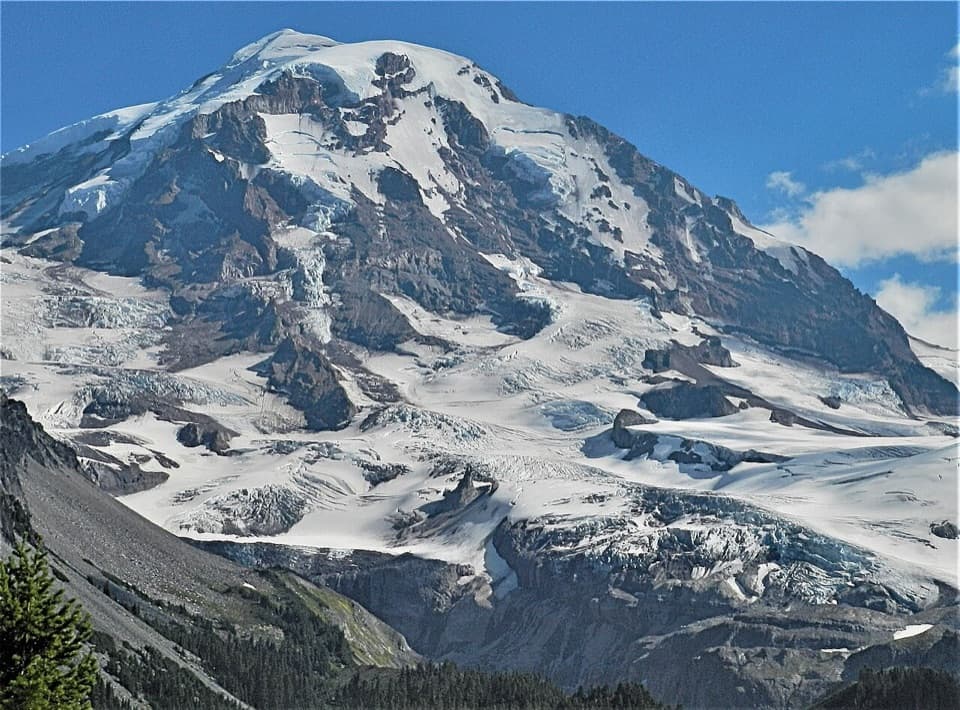
The climb moves through cedar, hemlock, and fir before the trail opens into meadow pockets with west and south views. Colonnade Ridge partly blocks Mount Rainier, so this is not a mountain-view hike all the way. The route passes above the largest lake before reaching Golden Lakes Camp. There are fifteen or more small lakes here; their name comes from the golden light reflected on the water at sunset. The west shore of a lake and the camp bluff are good places to stop for the evening light, with Rainier visible from one shore.

A cabin built for the WonderlandSunset Park Patrol Cabin stands beside the lakes.

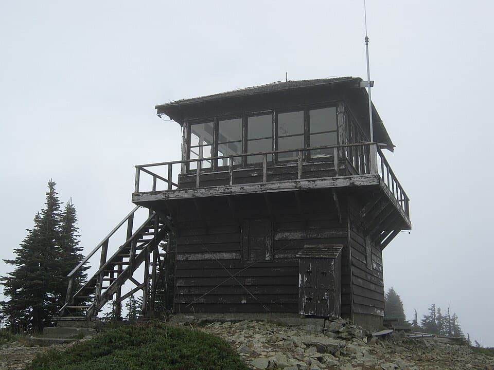
Sunset Park Patrol Cabin stands beside the lakes. Built in 1922, it is one of the park’s oldest backcountry ranger stations. It was part of Superintendent Roger Toll’s early plan for shelters along the Wonderland Trail, and its log frame, gable roof, and porch influenced later patrol cabins.

Plan for a backcountry routeSnow can linger at this elevation into late June or early July, and prolonged rain can wash out…

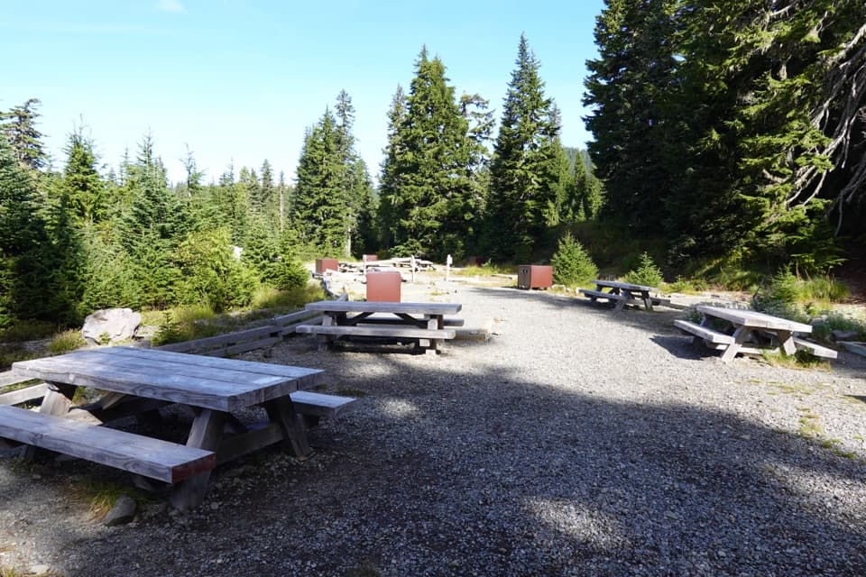
Snow can linger at this elevation into late June or early July, and prolonged rain can wash out footlogs. Treat water from streams and lakes; pets and fires are prohibited. No food service is listed along the route, and Golden Lakes Camp has a backcountry toilet. Overnight camping requires a permit.

Wildlife

Wildlife in Mount Rainier

All Mount Rainier wildlife maps

Sighting maps show where each species has been reported across Mount Rainier. Wildlife moves, so no sighting is guaranteed.

Keep exploring

Near Golden Lakes and Sunset Park Trail

See it all on the map

Trails that start nearby

Places near the trailhead

Parkwolf’s Mount Rainier ranking

Top-rated trails in Mount Rainier

All 99 trails
  1. 1Wonderland TrailChallenging · 93 mi
  2. 2Skyline Trail LoopChallenging · 5.5 mi
  3. 3Mount Fremont Lookout TrailModerate · 5.6 mi
  4. 4Burroughs Mountain TrailModerate · 6.2 mi
  5. 5Summerland TrailModerate · 8.4 mi
  6. 6Naches Peak Loop TrailModerate · 3.5 mi

Take Parkwolf to Mount Rainier.

The audio tour guide for the drive, plus offline maps, trails, and wildlife heatmaps for when the signal drops.

4.7 from 8,600+ ratings

Download Parkwolf on the App StoreGet Parkwolf on Google Play