Parking
Use the Mowich Lake Trailhead parking area beside the lake and follow the signed Wonderland Trail connection toward Tolmie Peak. Mowich Lake Road is unpaved and seasonal, typically open from mid-July to mid-October.
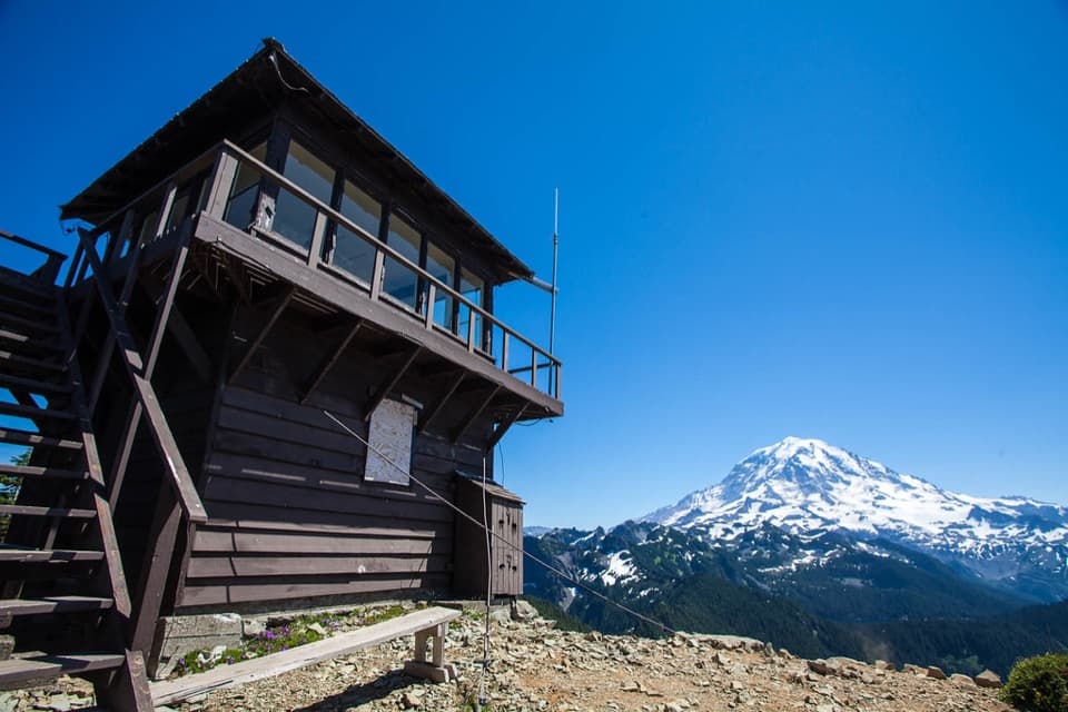
#8 of 99 trails in Mount Rainier
Mount Rainier National Park, WA
A 1933 fire lookout frames Eunice Lake and Mount Rainier.
Overview
Map & elevation
Plan your hike

The highest, rockiest slopes around here are a summer buffet for grizzly bears.
Mount Rainier Tour Guide
Parkwolf is a GPS audio tour guide for Mount Rainier National Park. As you drive, it chimes in with what’s ahead: hidden gems, upcoming stops, history, geology, and wildlife, right through your car’s speakers.
See the Mount Rainier audio tourRecorded for this area
When People Added the Fish“The fish in Rainier's lakes have a human history. These lakes were naturally fishless, even though native fish lived in the park's rivers.”
Plays on the road 0.6 mi from the trailhead in the Parkwolf Mount Rainier Tour Guide.
More stories near here in the app
“Fantastic app with many points of information… It’s great to just turn on while you’re driving and it gives you an audio tour of the national Park. We love it!!!!”


Trail guide
Tolmie Peak Trail is a 6.5-mile out-and-back from Mowich Lake to Eunice Lake and a historic fire lookout above it. You follow forested trail before two steep miles that climb from the Wonderland Trail junction, first to the lake and then to Tolmie Peak. The route gains about 1,010 feet. Plan on roughly three to four hours, with time to stop at the lake and lookout. Eunice Lake makes a good shorter turnaround; the lookout is the reason to keep climbing if you want the wider mountain views.
Start at the signed Mowich Lake Trailhead by the parking area and follow the Wonderland Trail toward Tolmie Peak. The route crosses a short lakeshore connection, then stays under forest for about 1.25 miles to the junction. Watch for the marked turn onto Tolmie Peak Trail; the Wonderland Trail continues beyond it. The Tolmie route drops at first, then climbs steeply for about a mile to Eunice Lake. The out-and-back retraces this corridor, so the return gives you the same junction and forest stretch in reverse.
The lake sits in a subalpine basin edged by meadows and forest. Its shore and nearby meadow are fragile, so keep to the constructed path and rest on rocks rather than trampling the vegetation. This is the natural place to pause, but the lookout is still about a steep mile above the lake. If you are turning around here, you still get the lake and a close view of Rainier; continuing adds the strongest panorama.
From Eunice Lake the trail climbs a lava ridge to Tolmie Peak Lookout. The final mile is steep, and the summit is an exposed, rocky setting around the historic cabin. The lookout itself is kept locked, but visitors can stand outside and take in Rainier with Eunice Lake below. On a clear day, the panorama also reaches Mount St. Helens to the south, the Olympic Mountains to the west, and Mount Baker to the north. For a photo that explains the hike, frame Eunice Lake below Rainier from the ridge or lookout instead of taking only a close-up of the cabin.
The fire lookout was built by the Civilian Conservation Corps in 1933. It was used to spot smoke and lightning and report fires by telephone; after World War II, aerial observation took over much of that work. The structure is one of the few remaining fire lookouts in the park and is part of the Mount Rainier National Historic Landmark District. The peak is named for Dr. William Tolmie, who came to the region in 1833 to collect medicinal plants. The summit he climbed was long thought to be this one, but later research points instead to Hessong Rock in Spray Park.
Mowich Lake Road is a summer-only approach, typically open from mid-July into mid-October, and the area can stay snowbound outside that window. The Mowich Lake area has seasonal restrooms and picnic tables. Pets are prohibited on park trails. Treat any natural water before drinking, and stay on the built trail around Eunice Lake to protect the meadow.
Wildlife
 466 sightingsMountain GoatMost seen around 6 AMSighting map
 383 sightingsBlack BearMost seen around 7 PMSighting map
 10 sightingsWolverineMost seen around 6 AMSighting map
 58 sightingsElkMost seen around 6 AMSighting map
 574 sightingsMule DeerMost seen around 6 AMSighting map
 1,853 sightingsHoary MarmotMost seen around 6 AMSighting map
Sighting maps show where each species has been reported across Mount Rainier. Wildlife moves, so no sighting is guaranteed.
Keep exploring
 ChallengingKnapsack Pass Trail2.9 mi · 3 hr · At the trailheadA rough, unmaintained climb to a high notch above Mowich Lake.
 ModerateIpsut Pass from Mowich Lake2.8 mi · 1.3 hr · At the trailheadA short Wonderland Trail climb to a ridge notch above Mowich Lake.
 ChallengingSpray Park–Ipsut Pass Loop16 mi · 12 hr · At the trailheadAlpine meadows, Spray Falls, and a tough climb over Ipsut Pass
 ModerateSpray Park Trail6 mi · 4.5 hr · 0.1 mi awayClimb through open meadows for Rainier views and a waterfall detour.
 ModerateSpray Falls Trail4 mi · 3 hr · 0.1 mi awayA forest roller ends at a 354-foot waterfall over a lava cliff.
 ChallengingGolden Lakes and Sunset Park Trail18.8 mi · 10 hr · 0.2 mi awayA strenuous out-and-back to a lake cluster and a 1922 patrol cabin.
 ModeratePaul Peak Trail6.2 mi · 4.5 hr · 2 mi awayA forested descent to Rainier views, then a long climb back.
 ChallengingLake James Trail25.9 mi · 14 hr · 4.8 mi awayA long backcountry climb through Windy Gap to a tucked-away lake.
 Sight · At the trailheadMowich LakeA wooded island, clear water, and trails into the quiet corner.
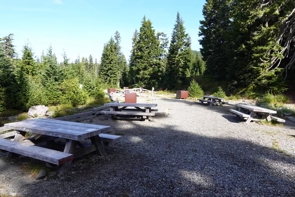 Campground · 0.1 mi awayMowich Lake CampgroundPrimitive lake camp, with Spray Park and Tolmie Peak nearby.
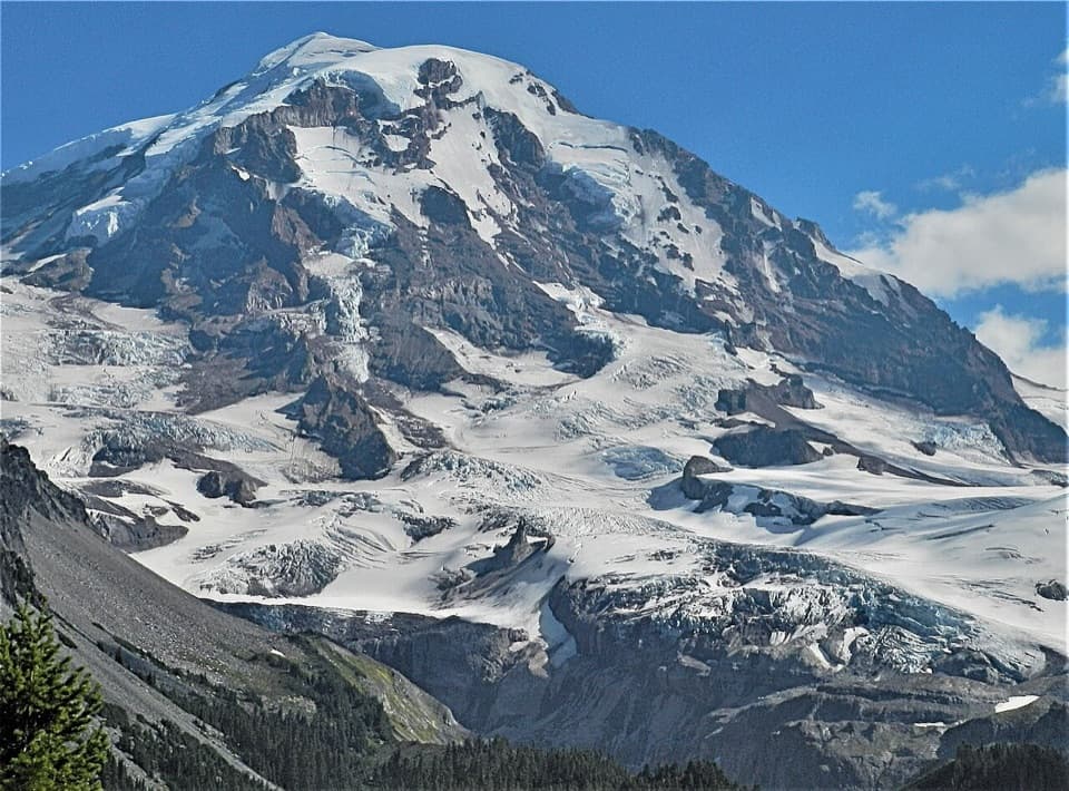 Sight · 1.3 mi awayEagle Cliff ViewpointFirst big Rainier-and-glacier view on the Spray Park trail.
 Sight · 1.6 mi awaySpray FallsA 354-foot veil spills over lava into a boulder-filled gorge.
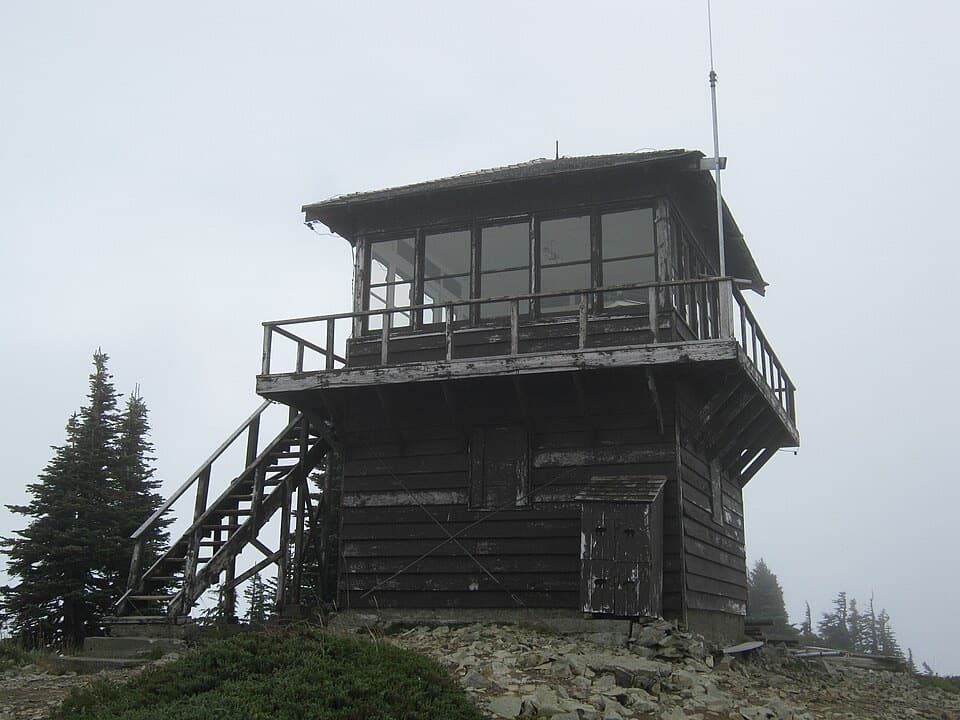 Sight · 1.8 mi awayTolmie Peak Fire LookoutRainier rises above Eunice Lake from this historic lookout's rocky perch.
 Sight · 3 mi awayIpsut FallsA two-tier waterfall at the end of a long forest approach.
 Campground · 3.4 mi awayIpsut Creek CampgroundA backcountry camp that takes a 19-mile hike from Sunrise.
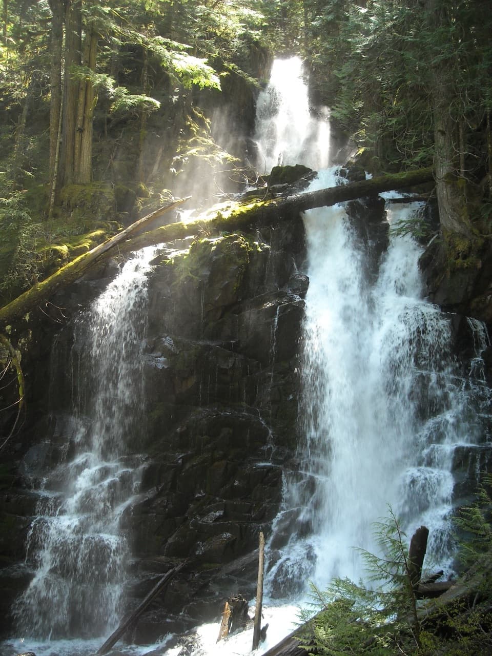 Sight · 3.5 mi awayRanger FallsThree tiers of falling water reward a long Green Lake walk.
Parkwolf’s Mount Rainier ranking

The audio tour guide for the drive, plus offline maps, trails, and wildlife heatmaps for when the signal drops.




