Spray Park–Ipsut Pass Loop in Mount Rainier National Park

Mount Rainier National Park, WA

Spray Park–Ipsut Pass Loop

Alpine meadows, Spray Falls, and a tough climb over Ipsut Pass

Photo: National Park Service
Length
16mi
Time
12hr
Elev. change
3,773ft
Difficulty
Challenging
  • Loop
  • No dogs
  • High point 6,266 ft
  • #18 of 99 in Mount Rainier

Hear the audio tour

When People Added the Fish

Overview

About Spray Park–Ipsut Pass Loop

Why go

  • Spray and Seattle Park open onto flower meadows and glacier views.
  • The loop links Spray Falls, Ipsut Falls and the Carbon River without retracing the whole route.

Heads up

  • Sixteen miles and 5,100 feet of climbing make it a very long day.
  • Rough stream crossings and the steep Ipsut Pass climb demand careful footing and pacing.

Map & elevation

The route

Loading the Mount Rainier map
Full map
Elevation2,493–6,266 ft
TrailheadMowich Lake Campground / Spray Park Trailhead46.93302, -121.86428
Keep this map with you offline in the Parkwolf app

Plan your hike

Before you go

Parking

Use the Mowich Lake Campground parking area at the end of Mowich Lake Road; the campground is walk-in, and the trailhead is on its southeast side. Pit toilets are at the campground. The road is rough and unpaved after its first few miles and is typically seasonal, with the Mowich area generally accessible mid-July to mid-October.

Safety

A hard, remote route with steep switchbacks, rough riverbed sections and stream crossings. Carry enough food and a water-treatment method; treat natural water before drinking. Pets are prohibited on park trails. Overnight camping requires a wilderness permit.

7 active Mount Rainier alerts

  • ClosureSR 165 bridge closed: no public access to Carbon River or Mowich LakeMentions Carbon River, referenced in this guideThe SR 165 Carbon River/Fairfax Bridge is closed to vehicles, bicycles, and pedestrians; there is no public access or alternate route to Carbon River or Mowich Lake.Official details
  • ClosureWildfire closures in the northern parkGrand Park 2 and Wonderland Complex fire closures affect trails, backcountry camps, and Sunrise access; stay out of closed areas.Official details
See all 7 alerts
A park ranger sits on a dash-mounted phone, talking, as Parkwolf’s Tour Guide plays “Army Cutworm Moths: A Grizzly Bear Buffet” on Grand Loop Road below Dunraven Pass in Yellowstone
Parkwolf Tour GuideThe highest, rockiest slopes around here are a summer buffet for grizzly bears.

Mount Rainier Tour Guide

Your drive to Spray Park–Ipsut Pass Loop, narrated.

Parkwolf is a GPS audio tour guide for Mount Rainier National Park. As you drive, it chimes in with what’s ahead: hidden gems, upcoming stops, history, geology, and wildlife, right through your car’s speakers.

See the Mount Rainier audio tour

Recorded for this area

When People Added the Fish
0:00 / 0:33
“The fish in Rainier's lakes have a human history. These lakes were naturally fishless, even though native fish lived in the park's rivers.”

Plays on the road 0.6 mi from the trailhead in the Parkwolf Mount Rainier Tour Guide.

More stories near here in the app

  • Tolmie's Botanical Journey
  • The Bee That Shakes the Flower
  • Paul Peak: Downhill Into the Forest
  • An Alder's Underground Helpers
  • 77 audio storiesacross Mount Rainier’s roads, triggered by GPS as you drive
  • Wildlife heatmapsfor Mountain Goat, Black Bear, Wolverine, and 13 more
  • Works offlinemaps, 99 trails, 87 places, and audio download before you lose signal
  • CarPlay readysimple controls built for the drive
★★★★★
“Fantastic app with many points of information… It’s great to just turn on while you’re driving and it gives you an audio tour of the national Park. We love it!!!!”
JMJamesApp Store review
Download Parkwolf on the App StoreGet Parkwolf on Google Play

4.7 from 8,600+ ratings

Trail guide

Hiking Spray Park–Ipsut Pass Loop

A full day across the northwest cornerSpray Park–Ipsut Pass Loop is a 16-mile circuit from Mowich Lake through the open meadows of…

Spray Park–Ipsut Pass Loop is a 16-mile circuit from Mowich Lake through the open meadows of Spray Park and Seattle Park, down to the Carbon River and Ipsut Creek, then over Ipsut Pass to return. It gains about 5,100 feet and reaches 6,375 feet. Budget 10 to 14 hours; about 12 is a realistic full-day plan with breaks. This is a hard route for its distance, repeated climbing and uneven river corridor. If you want the main meadow and waterfall without the river miles and pass climb, the separate 6-mile Spray Park hike is an out-and-back.

Start south from Mowich LakeFrom the walk-in campground, follow a short stretch of Wonderland Trail south, then turn onto…

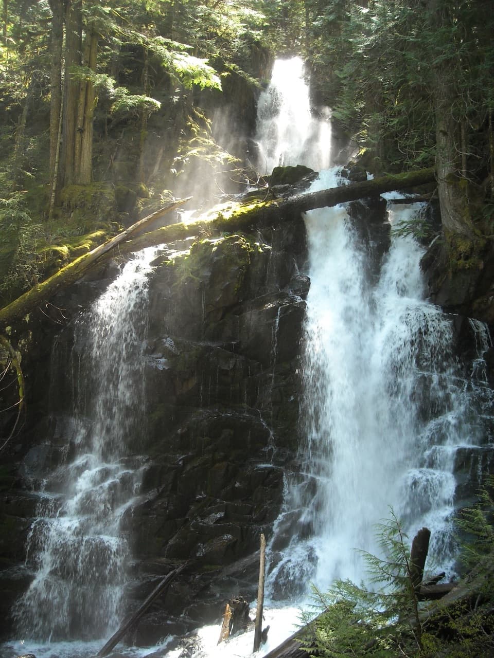
From the walk-in campground, follow a short stretch of Wonderland Trail south, then turn onto Spray Park Trail. The first mile trends gently downhill around Eagle Cliff and Eagle’s Roost. A short side spur leads to Spray Falls, where water breaks into a series of cascades below a high cliff; leave time to visit, then return to the loop. From there, switchbacks climb about 600 feet in half a mile. The grade is abrupt after the easy opening, and the steep switchbacks demand careful footing.

Meadows, flowers and the high pointThe climb opens into Spray Park’s broad subalpine meadows, with Echo Rock, Observation Rock and…

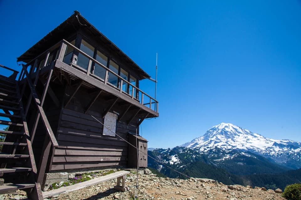
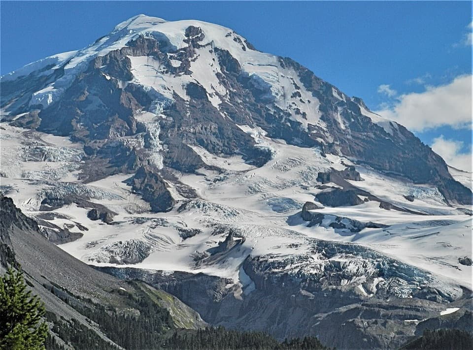
The climb opens into Spray Park’s broad subalpine meadows, with Echo Rock, Observation Rock and Russell Glacier above the flowers; clear days can bring the North Cascades into view to the north. The route reaches its high point here, around 6,375 feet, then drops about three miles through Seattle Park toward Cataract Valley and the Carbon River. You pass open patches, small tarns and forest edges rather than staying in one meadow the whole way. Keep to the built tread: the plants here grow slowly, and a bootstep off trail can leave damage long after the flowers fade. For a photo, let the path lead through the meadow toward the surrounding peaks instead of trampling a closer foreground.

The long return by Carbon River and Ipsut PassAt Cataract Valley, the route descends to the Carbon River junction and follows the Wonderland…

At Cataract Valley, the route descends to the Carbon River junction and follows the Wonderland Trail north and northwest. This is a rougher, more remote stretch, with uneven riverbed sections, wet rock and stream crossings; bridges and log crossings call for careful footing. At Ipsut Creek, pass the campground spur and continue by Ipsut Falls. The trail then climbs about 2,500 feet over three forested miles to Ipsut Pass. After the long ascent, the route eases along Castle Peak’s flank before its final downhill mile back to Mowich Lake. The pass climb is the main test: save energy for it rather than treating the river section as the finish.

Make the logistics workMowich Lake sits in a glacial basin and is the park’s largest and deepest lake.

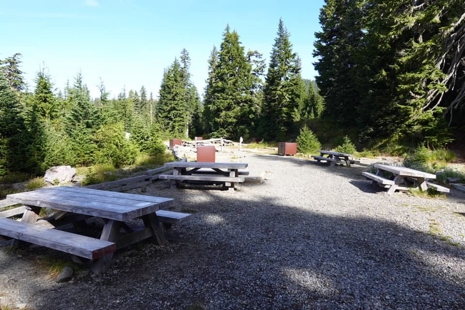
Mowich Lake sits in a glacial basin and is the park’s largest and deepest lake. The campground is walk-in, with pit toilets; food service and potable water were not found on this circuit. Carry your day’s food and a way to treat stream water. The road is unpaved and can be rough beyond its first few miles, and the Mowich area is usually accessible only from mid-July to mid-October. Dogs are prohibited on park trails. A wilderness permit is required if you camp overnight at Eagle’s Roost, Cataract Valley, Carbon River or Ipsut Creek.

Wildlife

Wildlife in Mount Rainier

All Mount Rainier wildlife maps

Sighting maps show where each species has been reported across Mount Rainier. Wildlife moves, so no sighting is guaranteed.

Keep exploring

Near Spray Park–Ipsut Pass Loop

See it all on the map

Trails that start nearby

Places near the trailhead

Parkwolf’s Mount Rainier ranking

Top-rated trails in Mount Rainier

All 99 trails
  1. 1Wonderland TrailChallenging · 93 mi
  2. 2Skyline Trail LoopChallenging · 5.5 mi
  3. 3Mount Fremont Lookout TrailModerate · 5.6 mi
  4. 4Burroughs Mountain TrailModerate · 6.2 mi
  5. 5Summerland TrailModerate · 8.4 mi
  6. 6Naches Peak Loop TrailModerate · 3.5 mi

Take Parkwolf to Mount Rainier.

The audio tour guide for the drive, plus offline maps, trails, and wildlife heatmaps for when the signal drops.

4.7 from 8,600+ ratings

Download Parkwolf on the App StoreGet Parkwolf on Google Play