Parking
Sabine Hut is a remote start with no road car park; reach it by Lake Rotoroa water taxi or a previous tramping leg. From Speargrass Hut, Mt Robert car park is another 7.3 km (about three hours); that continuation is not included here.
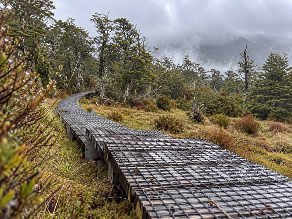
Nelson Lakes National Park, TM
A remote hut crossing, with a boardwalk through mountain wetlands.
Overview
Sabine–Speargrass Track is a remote, one-way tramping leg from Sabine Hut on Lake Rotoroa to Speargrass Hut. It climbs to Howard Saddle, then sidles through small valleys and wetlands. This is a half-day backcountry crossing between huts, not a loop or a quick day walk. Published distances range from 9.5 to 11.5 km; the full mapped line measures about 11.3 km, so plan for roughly 11.5 km one way and about five hours. The eight-hour estimate you may see includes the longer exit beyond Speargrass Hut toward St Arnaud.
 Parkwolf’s verdictIs this the crossing for you?
Map & elevation
Plan your hike

The highest, rockiest slopes around here are a summer buffet for grizzly bears.
Nelson Lakes Tour Guide
Parkwolf is a GPS audio tour guide for Nelson Lakes National Park. As you drive, it chimes in with what’s ahead: hidden gems, upcoming stops, history, geology, and wildlife, right through your car’s speakers.
“Fantastic app with many points of information… It’s great to just turn on while you’re driving and it gives you an audio tour of the national Park. We love it!!!!”


Trail guide
Leave Sabine Hut along the Lake Rotoroa shore before climbing toward Howard Saddle. The current track follows the base of the range and then keeps sidling in and out of small valleys; it doesn’t stay on one exposed ridge. The older alignment went toward Howard Hut, which has been removed, before turning back via Cedric Stream. If you’re comparing route lines, don’t mix that older line with this hut-to-hut crossing.
The long sidle is the defining stretch. Ponds sit among mountain beech, and boardwalk protects boggy ground; bridges cross the larger bouldery streams. Keep to the boardwalk where it’s provided, and expect wet, uneven footing between the built sections. Look for kaikawaka, or New Zealand cedar: its dark, conical crown and often twisted trunk stand out among the wetland plants. The boardwalk bends make the best photo: frame the grating leading into the scrub rather than only the surrounding hills.
The track drops to a tussock clearing above Speargrass Hut, with views toward Speargrass Valley and the western face of Robert Ridge. The hut has 12 bunks, heating, mattresses, non-flush toilets and untreated tap water that needs boiling. Beds must be booked. No food outlet or store is listed at either hut, so plan meals before you leave the road.
Sabine Hut is a remote start with no road car park; reach it by a Lake Rotoroa water taxi or a previous tramping stage. This row ends at Speargrass Hut. To walk out to a road, continue 7.3 km (about three hours) to Mt Robert car park; that extra section is not included in the distance above. Dogs aren’t allowed on the circuit. Wetland ground can bog down the pace, and streams may be unsafe after heavy rain, so this is a poor choice if you need an easy bailout or a fixed arrival time.
Wildlife
 20 sightingsNew Zealand FalconMost seen around 9 AMSighting map
 39 sightingsWekaMost seen around 7 AMSighting map
 11 sightingsKererūMost seen around 9 AMSighting map
 55 sightingsBlack SwanMost seen around 8 AMSighting map
 23 sightingsParadise ShelduckMost seen around 6 AMSighting map
 17 sightingsTūīMost seen around 7 AMSighting map
Sighting maps show where each species has been reported across Nelson Lakes. Wildlife moves, so no sighting is guaranteed.
Keep exploring
 ChallengingAngelus Hut via Mt Cedric Track/Route6.8 km · 6 hr · At the trailheadAn exposed ridge links two remote huts above an alpine basin.
 ChallengingMount Misery Track7.8 km · 6.5 hr · 2.7 km awayA 1,100-metre climb to a hut beside a tarn.
 ChallengingD’Urville Track to Upper D’Urville Hut25.1 km · 11 hr · 2.9 km awayA remote valley traverse linking four backcountry huts.
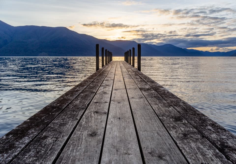 ModerateD’Urville–Sabine Track7.9 km · 2 hr · 3 km awayA remote 4.9-mile hut link with a serious stream crossing.
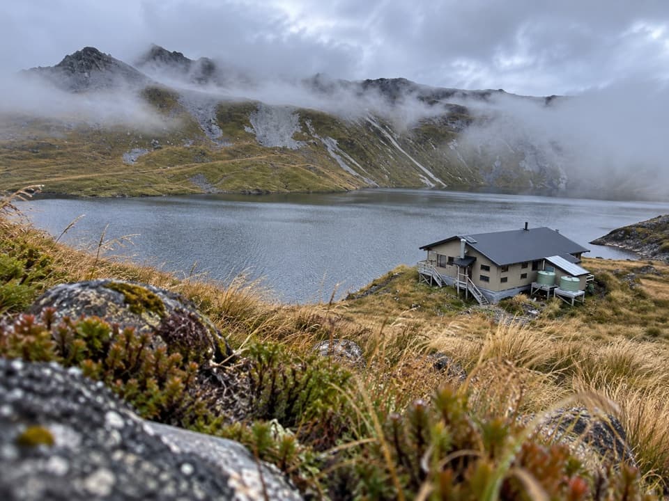 ChallengingSunset Saddle Route6 km · 3.5 hr · 5.8 km awayA remote saddle crossing links two alpine huts.
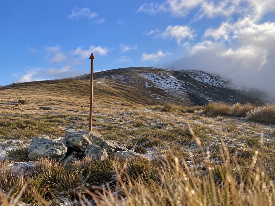 ChallengingMole Saddle–Tiraumea Track5.8 km · 4 hr · 10 km awayAn undulating ridge walk down to a backcountry hut.
 ModerateHopeless Track to Hopeless Hut7.9 km · 3.5 hr · 10.5 km awayA creek-side climb to a remote six-bunk hut.
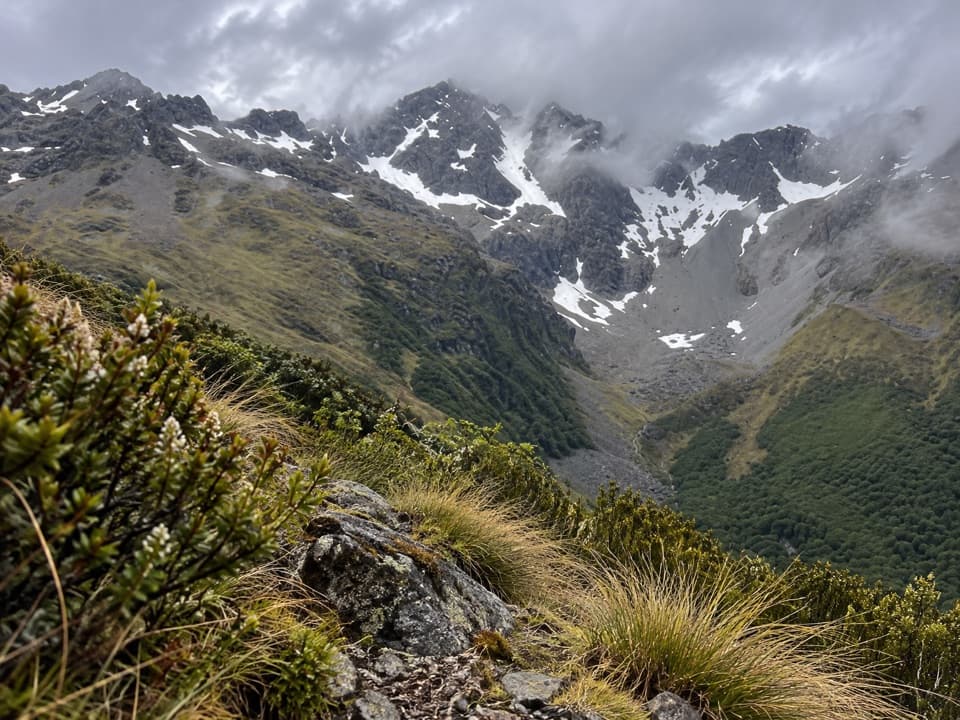 ChallengingCupola Track8.4 km · 5 hr · 10.9 km awayA steep backcountry climb to a high hut and Mount Hopeless views.
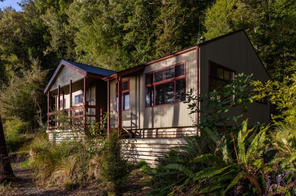 Lodging · At the trailheadSabine HutA warm, roomy hut with a broad view over Lake Rotoroa.
 Lodging · 2.9 km awayD'Urville HutA 10-bunk lakeside hut with a jetty for boats and kayaks.
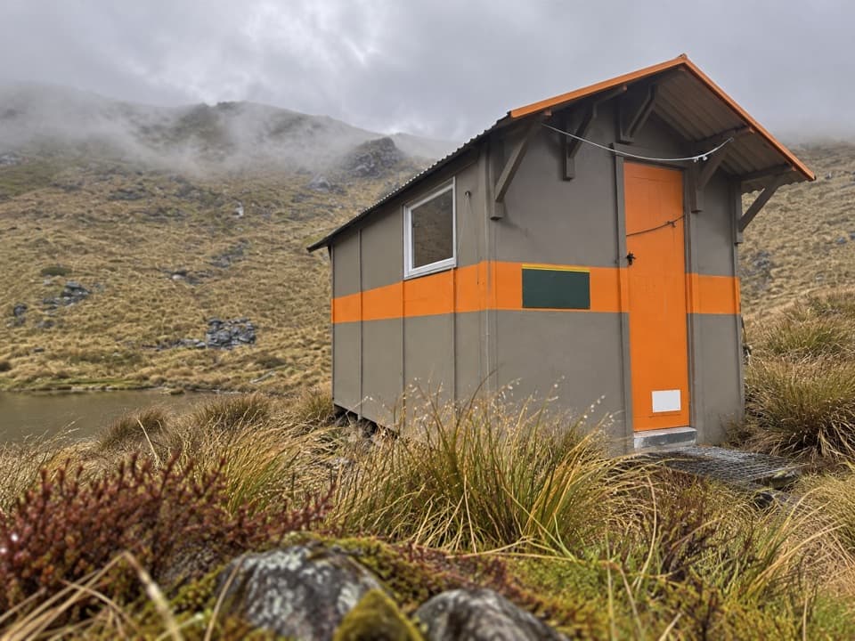 Lodging · 3.8 km awayMount Misery HutA three-bunk hut high on the ridge, with wide range views.
 Sight · 5.7 km awayRotomaninitua / Lake AngelusA remote glacial tarn with Angelus Hut on its shore.Lodging · 5.8 km awayAngelus HutA 28-bunk alpine stay beside Lake Angelus, reached on foot.Lodging · 7 km awayHopeless HutA six-bunk hut with a Sir Edmund Hillary opening story.
 Lodging · 8 km awaySpeargrass HutA booked 12-bunk hut reached through forest to a tussock clearing.
 Lodging · 8.3 km awayTiraumea HutA six-bunk hut for a remote, river-crossing backcountry trip.
Parkwolf’s Nelson Lakes ranking
The audio tour guide for the drive, plus offline maps, trails, and wildlife heatmaps for when the signal drops.




