Parking
The route starts at the Mt Misery jetty on Lake Rotoroa, not a roadside car park. Reach the jetty by kayak or water taxi from the lake.

Nelson Lakes National Park, TM
A 1,100-metre climb to a hut beside a tarn.
Overview
Map & elevation
Plan your hike

The highest, rockiest slopes around here are a summer buffet for grizzly bears.
Nelson Lakes Tour Guide
Parkwolf is a GPS audio tour guide for Nelson Lakes National Park. As you drive, it chimes in with what’s ahead: hidden gems, upcoming stops, history, geology, and wildlife, right through your car’s speakers.
“Fantastic app with many points of information… It’s great to just turn on while you’re driving and it gives you an audio tour of the national Park. We love it!!!!”


Trail guide
Mount Misery Track is a steep out-and-back from the Mt Misery jetty on Lake Rotoroa to Mount Misery Hut on the Mahanga Range. The published distance is 3.9 km each way; the mapped track is about 3.5 km one way, so plan for roughly 7 to 8 km return. You climb about 1,100 m from the lake to the hut at 1,550 m. Allow 6 to 8 hours with a proper stop. This is a hard mountain climb for the high country and the hut, not an easy lakeside walk.
The first roughly 750 m gains about 100 m, then the track gets steep through beech forest, ferns and lichen. Dark mould on the ground can make patches slippery. Around 1,400 m the bushline gives way to open tussock and rocky tops, where poles mark the route. The hut is the destination; Mount Misery’s 1,601 m high point is nearby, but this route does not make a summit circuit.
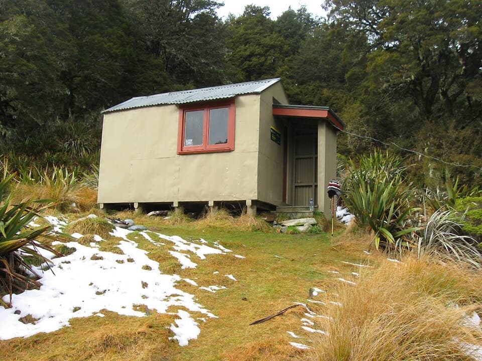
Mount Misery Hut is a basic, free three-bunk hut with no bookings; beds are first come, first served. It sits beside a small tarn in a high basin. The open ridge looks down the length of Lake Rotoroa, with Mt Windward, the Travers Range, Ella Range and Mole Tops around it. For a photo, keep a strip of the tussock slope in the foreground with the lake behind it; the foreground gives the view some scale.
The trail starts at the Mt Misery jetty, not a road-side car park. Reach it by kayak or water taxi from Lake Rotoroa. A D’Urville Hut approach adds about 30 minutes along the shore and an unbridged D’Urville River crossing. That is a separate access variant, not part of this route’s distance; the crossing is for experienced river crossers at low water. Dogs and other domestic pets are not allowed in the national park.
Wildlife
 20 sightingsNew Zealand FalconMost seen around 9 AMSighting map
 39 sightingsWekaMost seen around 7 AMSighting map
 11 sightingsKererūMost seen around 9 AMSighting map
 55 sightingsBlack SwanMost seen around 8 AMSighting map
 23 sightingsParadise ShelduckMost seen around 6 AMSighting map
 17 sightingsTūīMost seen around 7 AMSighting map
Sighting maps show where each species has been reported across Nelson Lakes. Wildlife moves, so no sighting is guaranteed.
Keep exploring
 ChallengingD’Urville Track to Upper D’Urville Hut25.1 km · 11 hr · 0.8 km awayA remote valley traverse linking four backcountry huts.
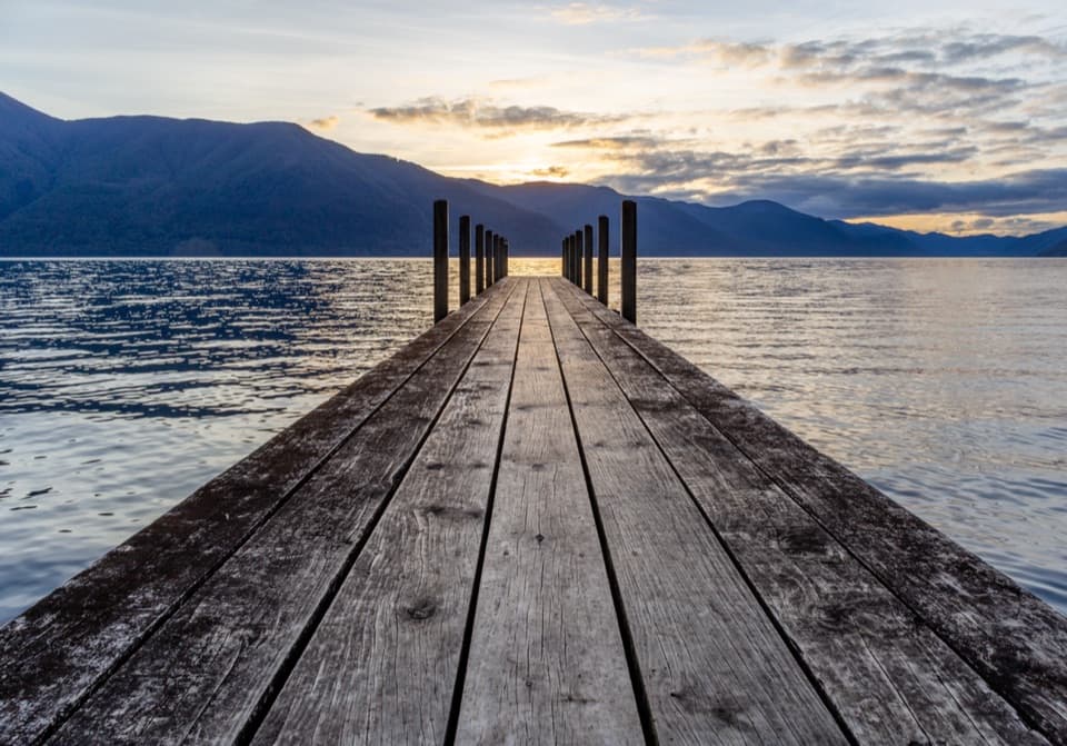 ModerateD’Urville–Sabine Track7.9 km · 2 hr · 0.8 km awayA remote 4.9-mile hut link with a serious stream crossing.
 ChallengingAngelus Hut via Mt Cedric Track/Route6.8 km · 6 hr · 2.7 km awayAn exposed ridge links two remote huts above an alpine basin.
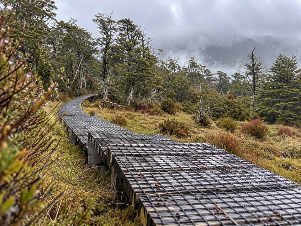 ChallengingSabine–Speargrass Track11.5 km · 5 hr · 2.7 km awayA remote hut crossing, with a boardwalk through mountain wetlands.
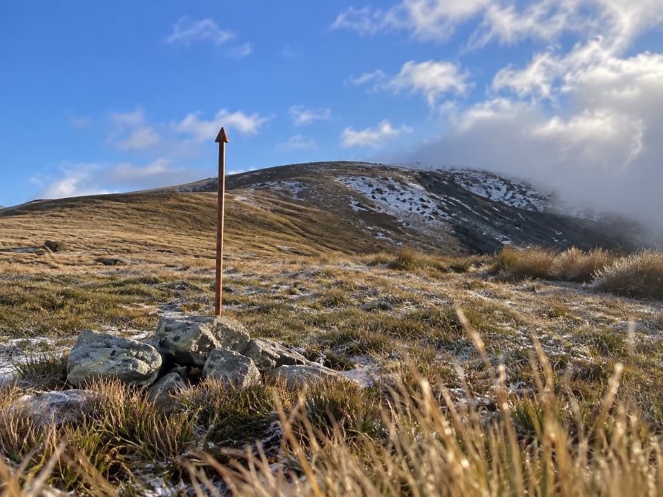 ChallengingMole Saddle–Tiraumea Track5.8 km · 4 hr · 7.3 km awayAn undulating ridge walk down to a backcountry hut.
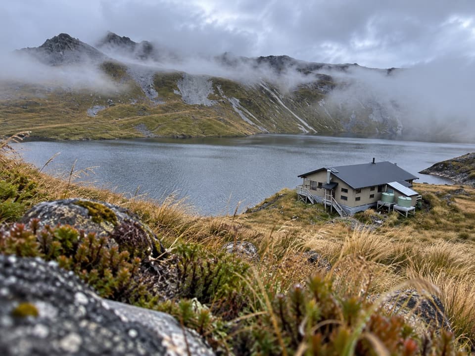 ChallengingSunset Saddle Route6 km · 3.5 hr · 8.4 km awayA remote saddle crossing links two alpine huts.
 ChallengingRotomairewhenua/Blue Lake Track15.4 km · 7 hr · 11 km awayThe clearest water comes after a long, serious alpine climb.
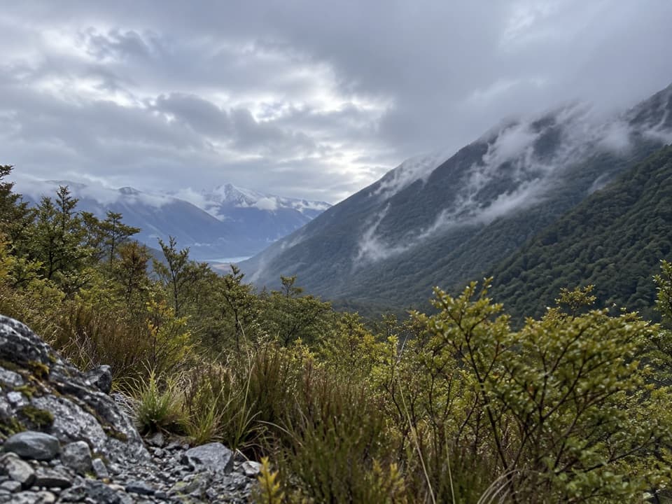 ModerateSabine Track15 km · 6 hr · 11 km awayOpen flats, a river gorge and a hut above Lake Rotoroa.
 Lodging · 0.8 km awayD'Urville HutA 10-bunk lakeside hut with a jetty for boats and kayaks.
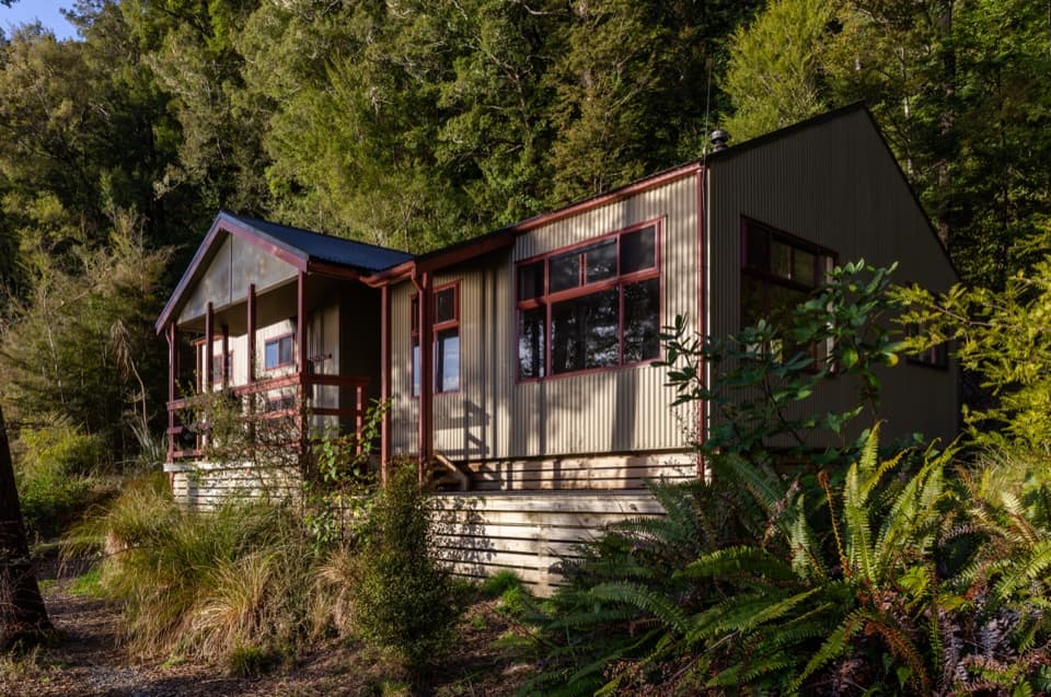 Lodging · 2.8 km awaySabine HutA warm, roomy hut with a broad view over Lake Rotoroa.
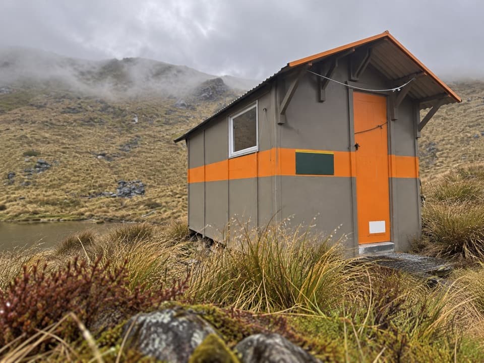 Lodging · 2.9 km awayMount Misery HutA three-bunk hut high on the ridge, with wide range views.
 Lodging · 5.8 km awayTiraumea HutA six-bunk hut for a remote, river-crossing backcountry trip.
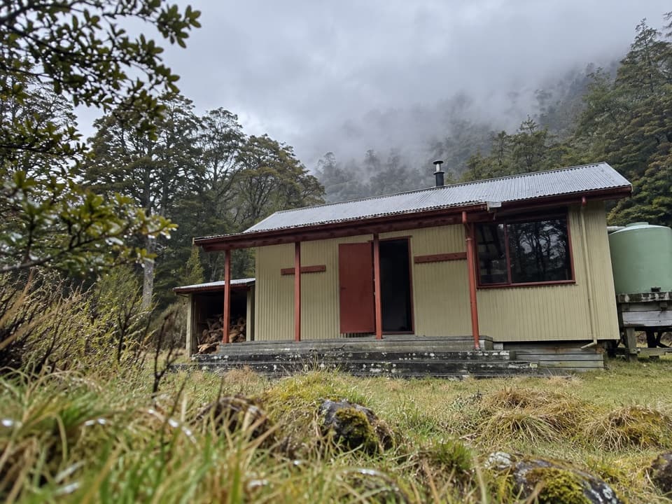 Lodging · 8.1 km awayMorgan HutAn overnight stop between two four-hour legs in the D’Urville Valley.
 Sight · 8.4 km awayRotomaninitua / Lake AngelusA remote glacial tarn with Angelus Hut on its shore.Lodging · 8.5 km awayAngelus HutA 28-bunk alpine stay beside Lake Angelus, reached on foot.
 Lodging · 8.6 km awayMole HutFour bunks put you within reach of a tarn-dotted ridge.
Parkwolf’s Nelson Lakes ranking

The audio tour guide for the drive, plus offline maps, trails, and wildlife heatmaps for when the signal drops.



