Parking
D’Urville Hut is on Lake Rotoroa’s west shore, not at a road-side trailhead. Reach it by water taxi or private boat, or walk around the lake’s eastern edge; no hut-side parking details were verified.

Nelson Lakes National Park, TM
A remote valley traverse linking four backcountry huts.
Overview
Map & elevation
Plan your hike

The highest, rockiest slopes around here are a summer buffet for grizzly bears.
Nelson Lakes Tour Guide
Parkwolf is a GPS audio tour guide for Nelson Lakes National Park. As you drive, it chimes in with what’s ahead: hidden gems, upcoming stops, history, geology, and wildlife, right through your car’s speakers.
“Fantastic app with many points of information… It’s great to just turn on while you’re driving and it gives you an audio tour of the national Park. We love it!!!!”


Trail guide
The D’Urville Track to Upper D’Urville Hut is a 15.6-mile (25.1-kilometre) one-way route up the D’Urville River valley. It starts at D’Urville Hut on Lake Rotoroa, passes Morgan Hut and George Lyon Hut, and ends at Upper D’Urville Hut at 1,000 metres. This is a remote through-route, not a loop or a road-access day walk. Build both the lake-side start and your onward or return plan into the trip.
The hut-to-hut times add to about 11 hours one way: roughly four hours to Morgan, another four to George Lyon, then three to Upper D’Urville. Break the walk into stages that match your experience and the river levels. The stated distance is one way; walking back doubles it. Upper D’Urville Hut is basic and has only two bunks, so don’t build a plan that depends on finding an empty bed.
The lower valley leg is an unformed expert route, not a well-built walking track. Expect long grass, wet and boggy ground, streams, and unbridged river crossings. Long grass can soak you on a wet morning; river channels have shifted after heavy rain, and high flows can make a crossing dangerous. Route finding and the decision to wait at a crossing matter as much as pace.
From Morgan, the route alternates beech forest, scrub and open valley. The ground stays natural and rough, with boggy patches and side-stream crossings. This is not a smooth riverside path: the channel moves through a broad valley, and wet sections can slow progress. Allow the full hut-stage time rather than treating the valley mileage as quick walking.
The last hut leg climbs to Upper D’Urville at 1,000 metres, about three hours from George Lyon Hut. The basic upper hut has two bunks. It was built in 1965 and moved 50 metres in 2003 out of an avalanche path. George Lyon Hut, formerly Ella Hut, was built in 1973 and named for the park’s early chief ranger, who helped establish its backcountry hut network.
Lower slopes carry red and silver beech, with kānuka in wetter places; higher up, silver and mountain beech take over. D’Urville Hut sits on Lake Rotoroa’s west shore. Reach it by water taxi or private boat, or walk around the lake’s eastern edge. Dogs aren’t allowed in Nelson Lakes National Park. Heavy rain can flood rivers, so check conditions and don’t force an unsafe crossing.
Wildlife
 20 sightingsNew Zealand FalconMost seen around 9 AMSighting map
 39 sightingsWekaMost seen around 7 AMSighting map
 11 sightingsKererūMost seen around 9 AMSighting map
 55 sightingsBlack SwanMost seen around 8 AMSighting map
 23 sightingsParadise ShelduckMost seen around 6 AMSighting map
 17 sightingsTūīMost seen around 7 AMSighting map
Sighting maps show where each species has been reported across Nelson Lakes. Wildlife moves, so no sighting is guaranteed.
Keep exploring
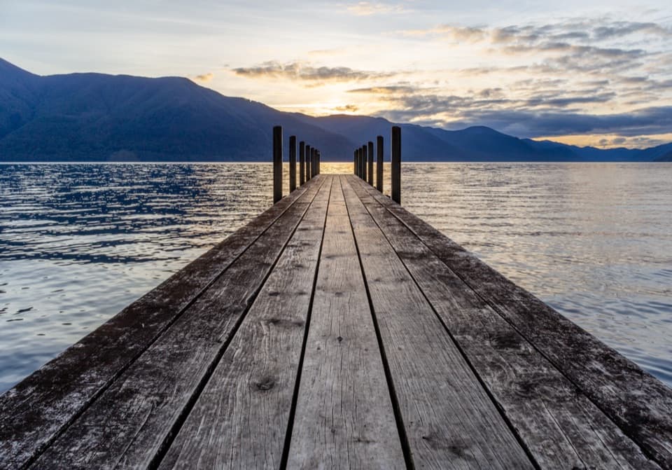 ModerateD’Urville–Sabine Track7.9 km · 2 hr · At the trailheadA remote 4.9-mile hut link with a serious stream crossing.
 ChallengingMount Misery Track7.8 km · 6.5 hr · 0.8 km awayA 1,100-metre climb to a hut beside a tarn.
 ChallengingAngelus Hut via Mt Cedric Track/Route6.8 km · 6 hr · 2.9 km awayAn exposed ridge links two remote huts above an alpine basin.
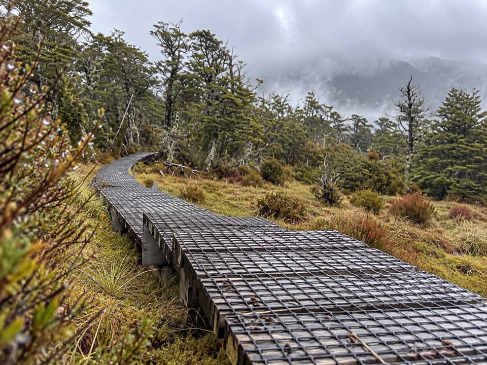 ChallengingSabine–Speargrass Track11.5 km · 5 hr · 2.9 km awayA remote hut crossing, with a boardwalk through mountain wetlands.
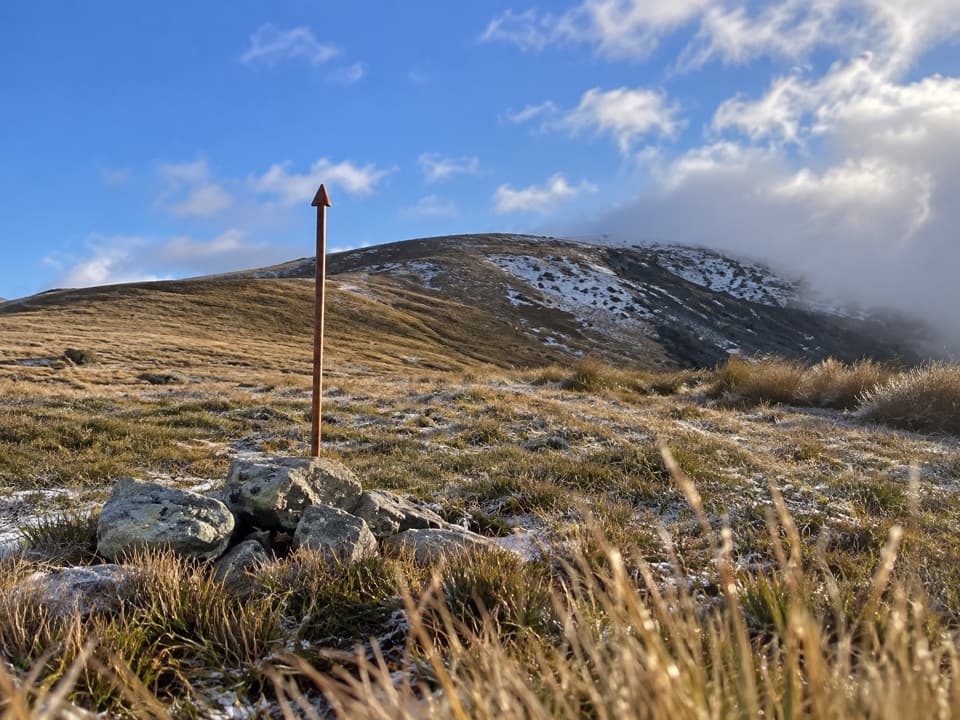 ChallengingMole Saddle–Tiraumea Track5.8 km · 4 hr · 7.5 km awayAn undulating ridge walk down to a backcountry hut.
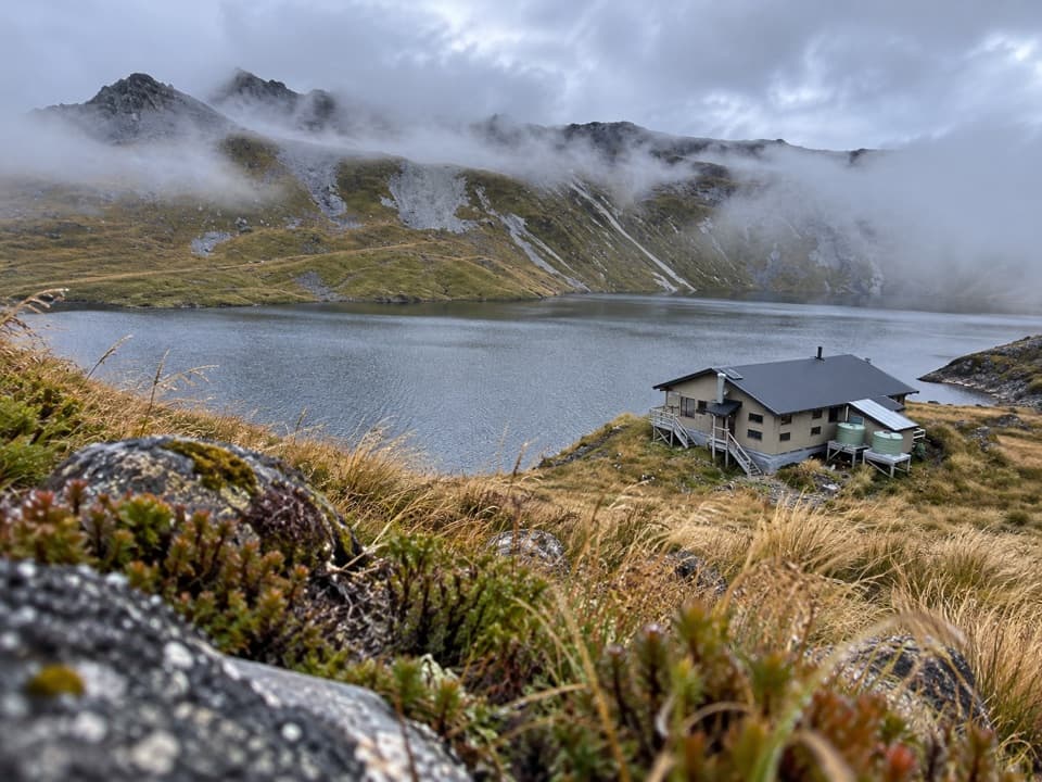 ChallengingSunset Saddle Route6 km · 3.5 hr · 8.7 km awayA remote saddle crossing links two alpine huts.
 ChallengingRotomairewhenua/Blue Lake Track15.4 km · 7 hr · 11.8 km awayThe clearest water comes after a long, serious alpine climb.
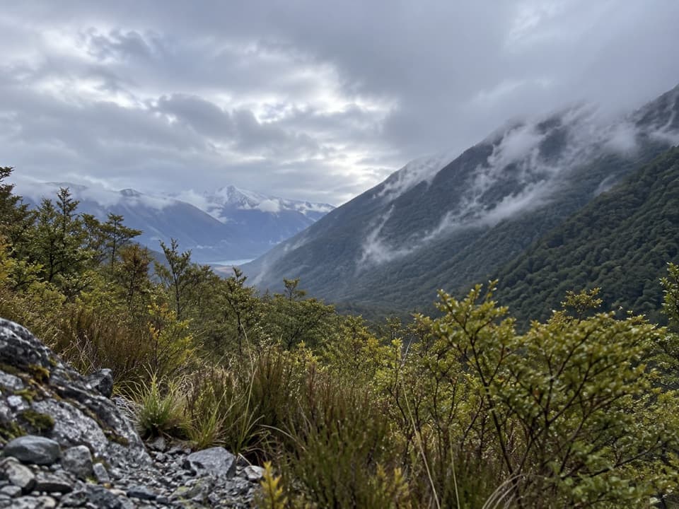 ModerateSabine Track15 km · 6 hr · 11.8 km awayOpen flats, a river gorge and a hut above Lake Rotoroa.
 Lodging · At the trailheadD'Urville HutA 10-bunk lakeside hut with a jetty for boats and kayaks.
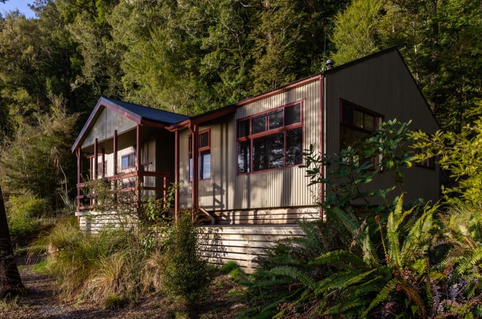 Lodging · 3 km awaySabine HutA warm, roomy hut with a broad view over Lake Rotoroa.
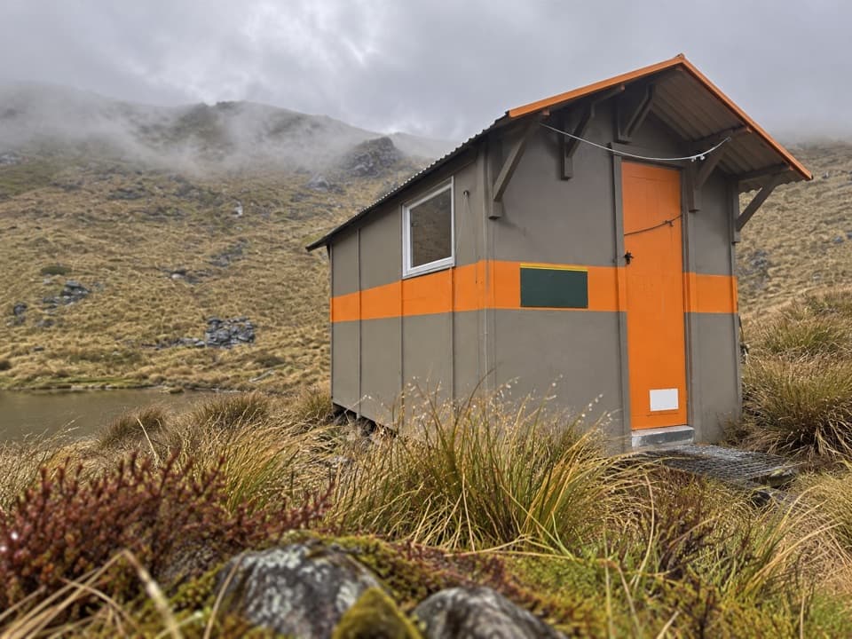 Lodging · 3.8 km awayMount Misery HutA three-bunk hut high on the ridge, with wide range views.
 Lodging · 5.3 km awayTiraumea HutA six-bunk hut for a remote, river-crossing backcountry trip.
 Sight · 8.7 km awayRotomaninitua / Lake AngelusA remote glacial tarn with Angelus Hut on its shore.
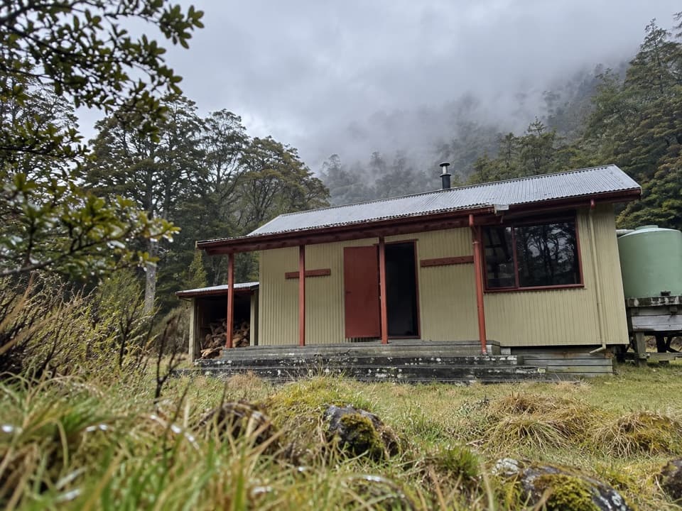 Lodging · 8.7 km awayMorgan HutAn overnight stop between two four-hour legs in the D’Urville Valley.Lodging · 8.7 km awayAngelus HutA 28-bunk alpine stay beside Lake Angelus, reached on foot.
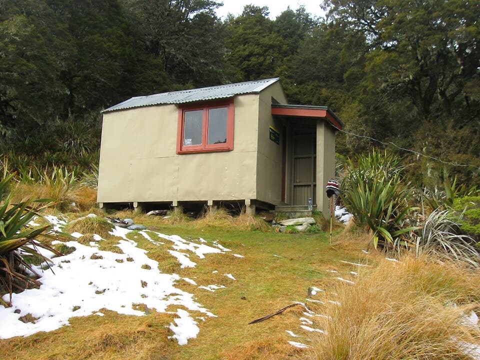 Lodging · 8.8 km awayMole HutFour bunks put you within reach of a tarn-dotted ridge.
Parkwolf’s Nelson Lakes ranking

The audio tour guide for the drive, plus offline maps, trails, and wildlife heatmaps for when the signal drops.



