Parking
This remote segment starts at Sabine Hut and has no road-access parking. Reach the hut on foot as part of the Travers–Sabine Circuit; the Rotoroa Route from the village is closed.

Nelson Lakes National Park, TM
An exposed ridge links two remote huts above an alpine basin.
Overview
Map & elevation
Plan your hike

The highest, rockiest slopes around here are a summer buffet for grizzly bears.
Nelson Lakes Tour Guide
Parkwolf is a GPS audio tour guide for Nelson Lakes National Park. As you drive, it chimes in with what’s ahead: hidden gems, upcoming stops, history, geology, and wildlife, right through your car’s speakers.
“Fantastic app with many points of information… It’s great to just turn on while you’re driving and it gives you an audio tour of the national Park. We love it!!!!”


Trail guide
This is a one-way 6.8 km (4.2 mi) point-to-point traverse from Sabine Hut to Angelus Hut, usually about six hours. It climbs steeply through forest, crosses a high exposed ridge, then drops into the Angelus basin. It is a demanding link in the multi-day Travers–Sabine Circuit, not a road-accessed day hike. For a road-access approach to Angelus Hut, use the separate Robert Ridge route.
Start behind Sabine Hut at about 480 m. The track climbs very steeply and steadily through the bush to the bush edge. The route is described as natural and rough, with muddy sections possible; expect a sustained climb before the open ridge.
Above the bush edge, poles and cairns mark the way across exposed high country. Mt Cedric is marked at 1,532 m, but the route profile keeps climbing beyond it to nearly 1,800 m before the descent. Wind and poor visibility can make navigation serious work, so this suits fit trampers with strong backcountry route-finding skills. There is no water along the route. Carry what you need for the full crossing.
The route drops off the eastern side of the ridge into the basin and reaches Rotomaninitua/Lake Angelus at about 1,650 m. The hut sits beside the alpine lake beneath steep, glacier-shaped slopes. The ridge near the bushline also opens views over Lake Rotoroa and up Sabine Valley on the way back toward Sabine Hut.
Snow and ice are common in winter and spring, and DOC says ice can persist into December. In heavy snow, allow up to nine hours. Avalanche danger, sudden whiteouts and intense cold make this a route for people with the right alpine skills and equipment; choose another Angelus approach if those conditions are beyond your experience.
Angelus Hut has 28 bunks and non-flush toilets. Bookings are required year-round. Its tap water is untreated and should be boiled; winter plumbing may be disconnected, so do not count on water at the hut. Pack your own food. Dogs and other domestic animals are not allowed in the park.
Rotomaninitua/Lake Angelus is an alpine tarn left by recent ice advances. Glaciers and permanent snowfields carved the steep valley walls, sharp ridges and lake-filled basins around it; the major advances ended about 10,000 years ago.
Wildlife
 20 sightingsNew Zealand FalconMost seen around 9 AMSighting map
 39 sightingsWekaMost seen around 7 AMSighting map
 11 sightingsKererūMost seen around 9 AMSighting map
 55 sightingsBlack SwanMost seen around 8 AMSighting map
 23 sightingsParadise ShelduckMost seen around 6 AMSighting map
 17 sightingsTūīMost seen around 7 AMSighting map
Sighting maps show where each species has been reported across Nelson Lakes. Wildlife moves, so no sighting is guaranteed.
Keep exploring
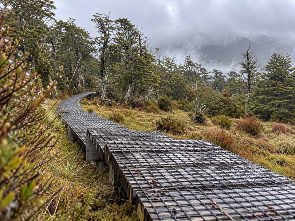 ChallengingSabine–Speargrass Track11.5 km · 5 hr · At the trailheadA remote hut crossing, with a boardwalk through mountain wetlands.
 ChallengingMount Misery Track7.8 km · 6.5 hr · 2.7 km awayA 1,100-metre climb to a hut beside a tarn.
 ChallengingD’Urville Track to Upper D’Urville Hut25.1 km · 11 hr · 2.9 km awayA remote valley traverse linking four backcountry huts.
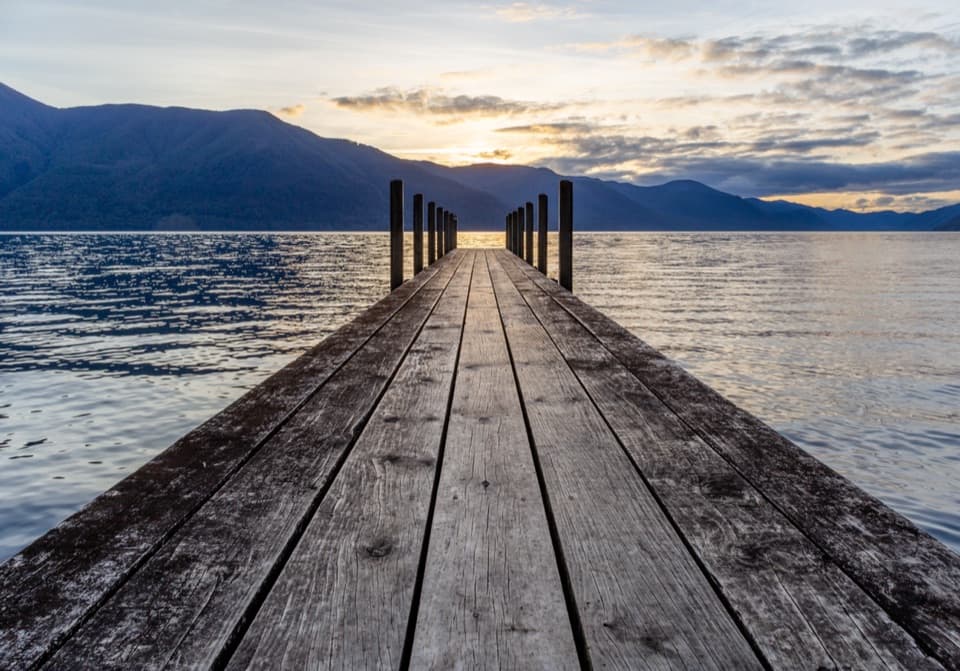 ModerateD’Urville–Sabine Track7.9 km · 2 hr · 3 km awayA remote 4.9-mile hut link with a serious stream crossing.
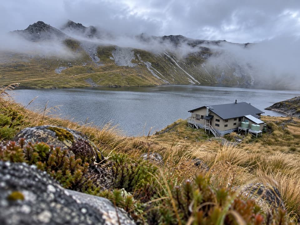 ChallengingSunset Saddle Route6 km · 3.5 hr · 5.8 km awayA remote saddle crossing links two alpine huts.
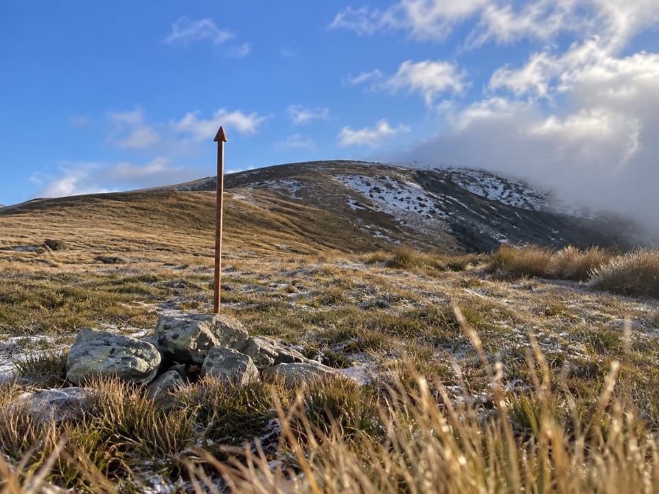 ChallengingMole Saddle–Tiraumea Track5.8 km · 4 hr · 10 km awayAn undulating ridge walk down to a backcountry hut.
 ModerateHopeless Track to Hopeless Hut7.9 km · 3.5 hr · 10.5 km awayA creek-side climb to a remote six-bunk hut.
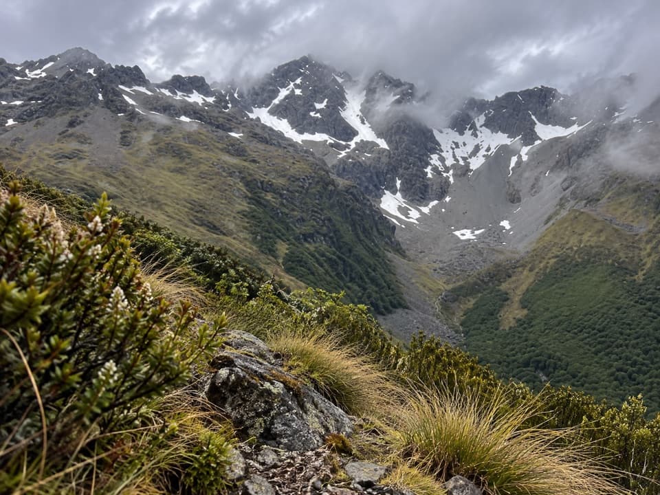 ChallengingCupola Track8.4 km · 5 hr · 10.9 km awayA steep backcountry climb to a high hut and Mount Hopeless views.
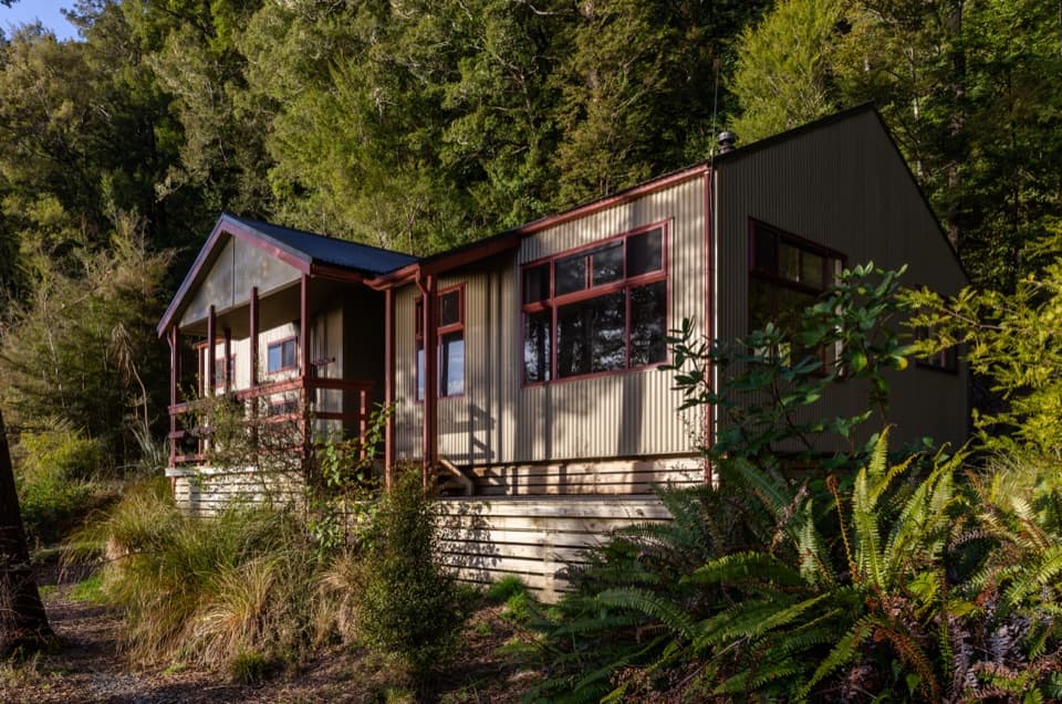 Lodging · At the trailheadSabine HutA warm, roomy hut with a broad view over Lake Rotoroa.
 Lodging · 2.9 km awayD'Urville HutA 10-bunk lakeside hut with a jetty for boats and kayaks.
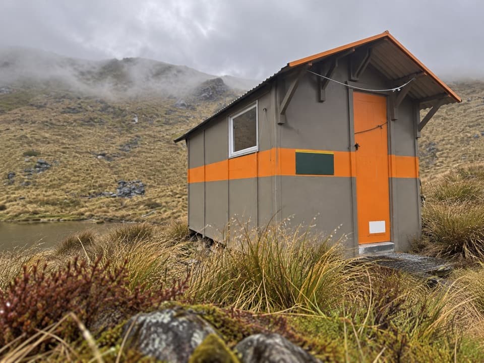 Lodging · 3.8 km awayMount Misery HutA three-bunk hut high on the ridge, with wide range views.
 Sight · 5.7 km awayRotomaninitua / Lake AngelusA remote glacial tarn with Angelus Hut on its shore.Lodging · 5.8 km awayAngelus HutA 28-bunk alpine stay beside Lake Angelus, reached on foot.Lodging · 7 km awayHopeless HutA six-bunk hut with a Sir Edmund Hillary opening story.
 Lodging · 8 km awaySpeargrass HutA booked 12-bunk hut reached through forest to a tussock clearing.
 Lodging · 8.3 km awayTiraumea HutA six-bunk hut for a remote, river-crossing backcountry trip.
Parkwolf’s Nelson Lakes ranking

The audio tour guide for the drive, plus offline maps, trails, and wildlife heatmaps for when the signal drops.




