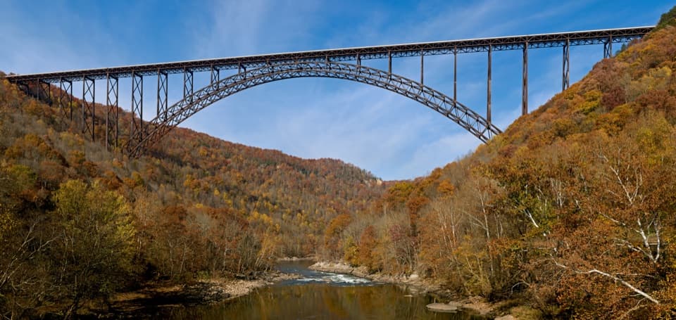
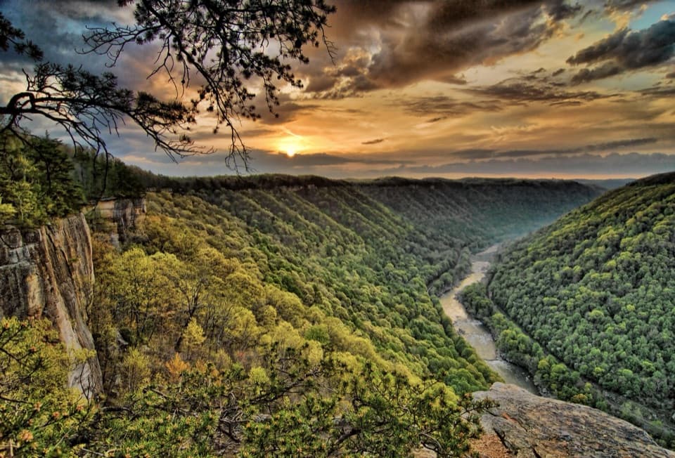
Kates Falls in New River Gorge National Park

Sight · New River Gorge National Park

Kates Falls

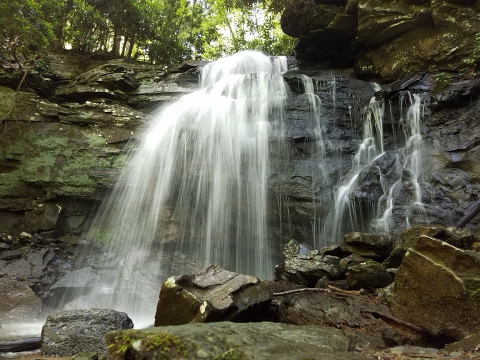
A stepped sandstone waterfall at the end of a long creekside hike.

Photo: National Park Service
Type
Sight
Nearest trail
0.5 mi
Audio stories
5 nearby
  • Scenic viewpoint

Hear the audio tour

Glade Creek's Waterfall Walk

Overview

About Kates Falls

Why stop

  • Water spreads across stepped sandstone for a distinctive close view.

Heads up

  • The recommended lower approach is about a 9.6-mile round trip.

Map

Where it is

Loading the New River Gorge map
Full map
SightKates Falls37.78247, -81.02734
Keep this map with you offline in the Parkwolf app

Plan your stop

Before you go

5 active New River Gorge alerts

  • ClosureRend and Church Loop trails closedRend Trail is closed from both trailheads through approximately December 2027; Church Loop Trail is also closed because its only access is from Rend.Official details
  • ClosureKaymoor Miners Trail weekday closureThe upper Kaymoor Miners Trail is closed Monday–Thursday through November 19 for trail rehabilitation.Official details
See all 5 alerts
A park ranger sits on a dash-mounted phone, talking, as Parkwolf’s Tour Guide plays “Army Cutworm Moths: A Grizzly Bear Buffet” on Grand Loop Road below Dunraven Pass in Yellowstone
Parkwolf Tour GuideThe highest, rockiest slopes around here are a summer buffet for grizzly bears.

New River Gorge Tour Guide

Your drive to Kates Falls, narrated.

Parkwolf is a GPS audio tour guide for New River Gorge National Park. As you drive, it chimes in with what’s ahead: hidden gems, upcoming stops, history, geology, and wildlife, right through your car’s speakers.

See the New River Gorge audio tour

Recorded for this place

Glade Creek's Waterfall Walk
0:00 / 0:32
“You're nearing the lower Glade Creek trailhead by the campground, the starting point I'd choose for a short waterfall hike.”

Plays as you drive up to Kates Falls in the Parkwolf New River Gorge Tour Guide.

More stories near here in the app

  • The Soldier Behind the Bridge
  • Choosing Your Rafting Trip
  • Antlers Start Over Every Year
  • A Flame on a Miner's Cap
  • 92 audio storiesacross New River Gorge’s roads, triggered by GPS as you drive
  • Wildlife heatmapsfor Black Bear, White-tailed Deer, Pileated Woodpecker, and 13 more
  • Works offlinemaps, 49 trails, 55 places, and audio download before you lose signal
  • CarPlay readysimple controls built for the drive
★★★★★
“Fantastic app with many points of information… It’s great to just turn on while you’re driving and it gives you an audio tour of the national Park. We love it!!!!”
JMJamesApp Store review
Download Parkwolf on the App StoreGet Parkwolf on Google Play

4.7 from 8,600+ ratings

Guide

More about Kates Falls

What you are walking toKates Falls is a waterfall on a tributary of Glade Creek, where water breaks over steep…

Kates Falls is a waterfall on a tributary of Glade Creek, where water breaks over steep sandstone ledges onto rocks below. It is a hike-in destination, not a roadside stop. Save it for a day when the walk itself sounds good, rather than when you want a quick waterfall detour.

The better approachFrom Glade Creek Campground, follow Glade Creek Trail 4.

From Glade Creek Campground, follow Glade Creek Trail 4.6 miles upstream to the falls spur, then take the steep 0.2-mile spur down to the water. Retracing that route makes the outing about 9.6 miles round trip. The main trail has short steeper stretches and can be muddy.

An upper trailhead shortens the approach to 1.09 miles before the spur, but its road is steep, narrow, winding and unpaved. It is unsuitable for most vehicles; the longer campground approach is the better default unless you have a high-clearance four-wheel-drive vehicle and are comfortable with that road.

Take in the creek walkThe lower route spends most of its approach alongside Glade Creek, so the outing is as much a…

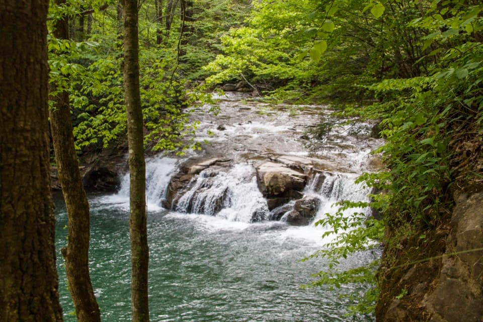
The lower route spends most of its approach alongside Glade Creek, so the outing is as much a long creekside hike as a short look at the falls. An older hiking account describes ferns, a footbridge and smaller cascades along the way, but treat those as extra discoveries rather than guaranteed stops.

Look at the sandstoneAt the falls, the water fans over stepped sandstone instead of dropping as one clean sheet.

At the falls, the water fans over stepped sandstone instead of dropping as one clean sheet. The rough ledges and boulders make the close view; include some of that rock around the water in a photo to show how the cascade breaks into tiers.

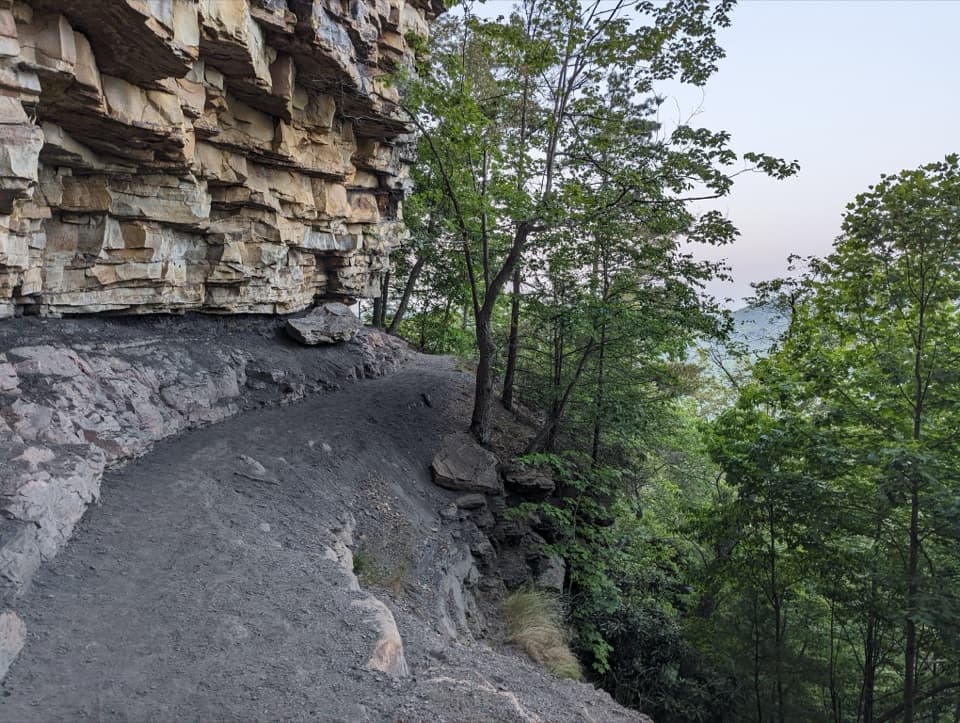
Those ledges are part of the wider gorge's sandstone landscape. Across New River Gorge, layers of sand, mud and organic material were compressed into sandstone, shale and coal; Kates Falls is a clear place to see water crossing that layered rock.

Wildlife

Wildlife in New River Gorge

All New River Gorge wildlife maps

Sighting maps show where each species has been reported across New River Gorge. Wildlife moves, so no sighting is guaranteed.

Keep exploring

Near Kates Falls

See it all on the map

Trails nearby

More stops nearby

Parkwolf’s New River Gorge ranking

Top sights in New River Gorge

All 55 places
  1. 1New River Gorge BridgeSight
  2. 2Sandstone FallsSight
  3. 3Grandview Main OverlookSight
  4. 4Diamond Point OverlookSight
  5. 5Long Point OverlookSight
  6. 6Nuttallburg Historic SiteSight

Take Parkwolf to New River Gorge.

The audio tour guide for the drive, plus offline maps, trails, and wildlife heatmaps for when the signal drops.

4.7 from 8,600+ ratings

Download Parkwolf on the App StoreGet Parkwolf on Google Play