Clovis Trail in New River Gorge National Park

New River Gorge National Park, WV

Clovis Trail

A compact forest loop with a few easy rock patches.

Length
1.1mi
Time
30min
Elev. change
121ft
Difficulty
Easy
  • Loop
  • Dogs allowed
  • High point 2,028 ft

Hear the audio tour

Arrowhead's Clovis Loop

Overview

About Clovis Trail

Why go

  • Short, lightly rolling loop with only a few easy rocky stretches.

Heads up

  • Narrow singletrack is shared with mountain bikers.

Map & elevation

The route

Loading the New River Gorge map
Full map
Elevation1,906–2,028 ft
TrailheadArrowhead Trails Parking38.04154, -81.06785
Keep this map with you offline in the Parkwolf app

Plan your hike

Before you go

Parking

Use Arrowhead Trails Parking off Kaymoor No. 1 Road. From WV 16 in Fayetteville, follow Gatewood Road about two miles toward Kaymoor and Cunard, turn left at the Kaymoor sign onto Kaymoor No. 1 Road, then continue about a mile to the T-intersection and turn right. The shared trailhead lot is about a quarter-mile ahead on the right.

Safety

The narrow trail is shared with mountain bikes; a couple of short rocky sections need care underfoot.

5 active New River Gorge alerts

  • ClosureRend and Church Loop trails closedRend Trail is closed from both trailheads through approximately December 2027; Church Loop Trail is also closed because its only access is from Rend.Official details
  • ClosureKaymoor Miners Trail weekday closureThe upper Kaymoor Miners Trail is closed Monday–Thursday through November 19 for trail rehabilitation.Official details
See all 5 alerts
A park ranger sits on a dash-mounted phone, talking, as Parkwolf’s Tour Guide plays “Army Cutworm Moths: A Grizzly Bear Buffet” on Grand Loop Road below Dunraven Pass in Yellowstone
Parkwolf Tour GuideThe highest, rockiest slopes around here are a summer buffet for grizzly bears.

New River Gorge Tour Guide

Your drive to Clovis Trail, narrated.

Parkwolf is a GPS audio tour guide for New River Gorge National Park. As you drive, it chimes in with what’s ahead: hidden gems, upcoming stops, history, geology, and wildlife, right through your car’s speakers.

See the New River Gorge audio tour

Recorded for this trailhead

Arrowhead's Clovis Loop
0:00 / 0:24
“Up ahead is the Arrowhead trailhead, where Clovis is my pick for a short woodland walk. Its one-point-one-mile loop takes about half an hour, with gently rolling ground and a few rocky patches.”

Plays as you drive up to this trailhead in the Parkwolf New River Gorge Tour Guide.

More stories near here in the app

  • Kaymoor Top and the Mine Descent
  • Long Point's Bridge View
  • The Tulips Above Your Head
  • Wolf Creek and Kaymoor Mine Falls
  • 92 audio storiesacross New River Gorge’s roads, triggered by GPS as you drive
  • Wildlife heatmapsfor Black Bear, White-tailed Deer, Pileated Woodpecker, and 13 more
  • Works offlinemaps, 49 trails, 55 places, and audio download before you lose signal
  • CarPlay readysimple controls built for the drive
★★★★★
“Fantastic app with many points of information… It’s great to just turn on while you’re driving and it gives you an audio tour of the national Park. We love it!!!!”
JMJamesApp Store review
Download Parkwolf on the App StoreGet Parkwolf on Google Play

4.7 from 8,600+ ratings

Trail guide

Hiking Clovis Trail

A compact forest loopClovis Trail is a 1.

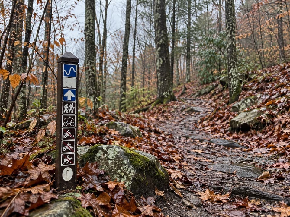
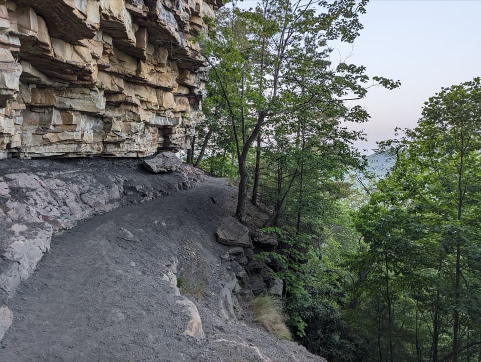
Clovis Trail is a 1.1-mile loop through lightly rolling hardwood forest in the Arrowhead trail system. It is rated easy to intermediate and is used by hikers and mountain bikers. Allow about half an hour on foot; the 30-to-36-inch tread is mostly straightforward, with a couple of short, even rocky patches. Choose it for a quick woodland walk rather than a named overlook.

Follow the Clovis markersStart from the shared Arrowhead Trails Parking area and follow the route marked 1 on the park…

Start from the shared Arrowhead Trails Parking area and follow the route marked 1 on the park map. Stay on the Clovis loop instead of continuing onto the longer Clovis-and-Adena route or neighboring trails. The singletrack is shared with bikes, so listen and give one another room at turns. Dogs may join the walk on a physical leash no longer than six feet.

A trail built by volunteersThe Arrowhead trail system was built in 2011 by more than 1,000 Order of the Arrow members, who…

The Arrowhead trail system was built in 2011 by more than 1,000 Order of the Arrow members, who contributed 78,544 volunteer hours. Clovis is one of the short loops in that larger youth service project.

Wildlife

Wildlife in New River Gorge

All New River Gorge wildlife maps

Sighting maps show where each species has been reported across New River Gorge. Wildlife moves, so no sighting is guaranteed.

Keep exploring

Near Clovis Trail

See it all on the map

Trails that start nearby

Places near the trailhead

Parkwolf’s New River Gorge ranking

Top-rated trails in New River Gorge

All 49 trails
  1. 1Endless Wall TrailModerate · 2.4 mi
  2. 2Long Point TrailModerate · 3.2 mi
  3. 3Grandview Rim TrailModerate · 3.2 mi
  4. 4Sandstone Falls BoardwalkEasy · 0.5 mi
  5. 5Castle Rock TrailChallenging · 0.6 mi
  6. 6Grandview Rim LoopModerate · 3 mi

Take Parkwolf to New River Gorge.

The audio tour guide for the drive, plus offline maps, trails, and wildlife heatmaps for when the signal drops.

4.7 from 8,600+ ratings

Download Parkwolf on the App StoreGet Parkwolf on Google Play