Place
Moderate

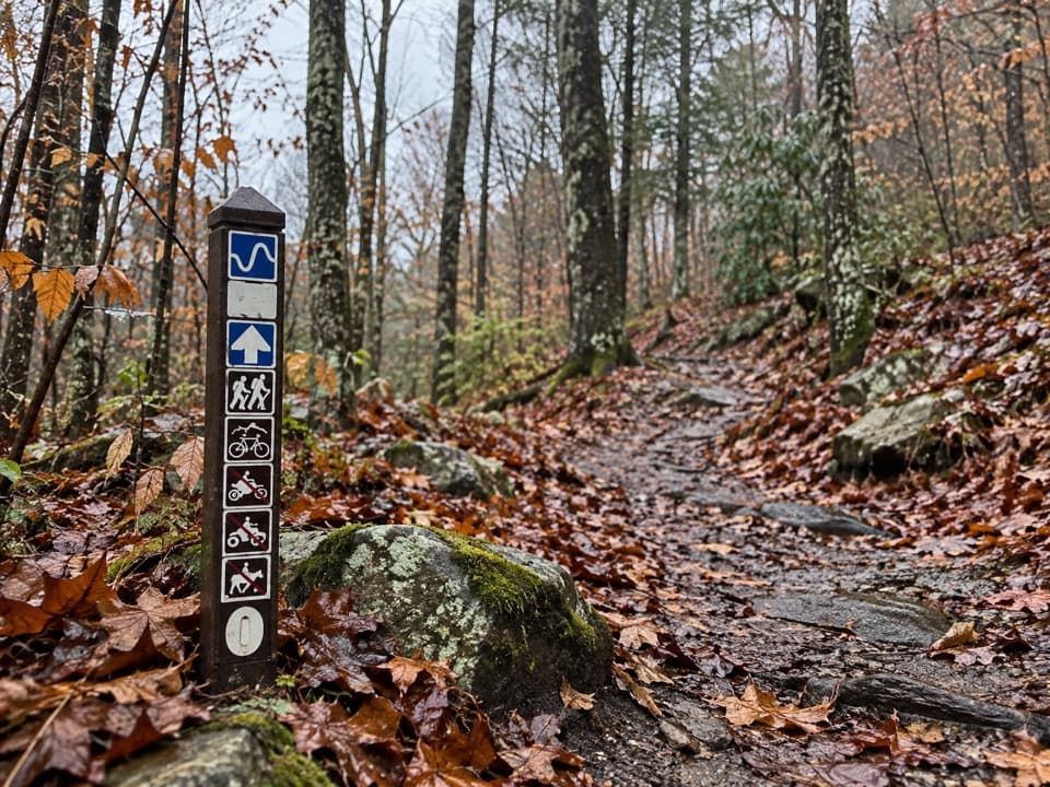
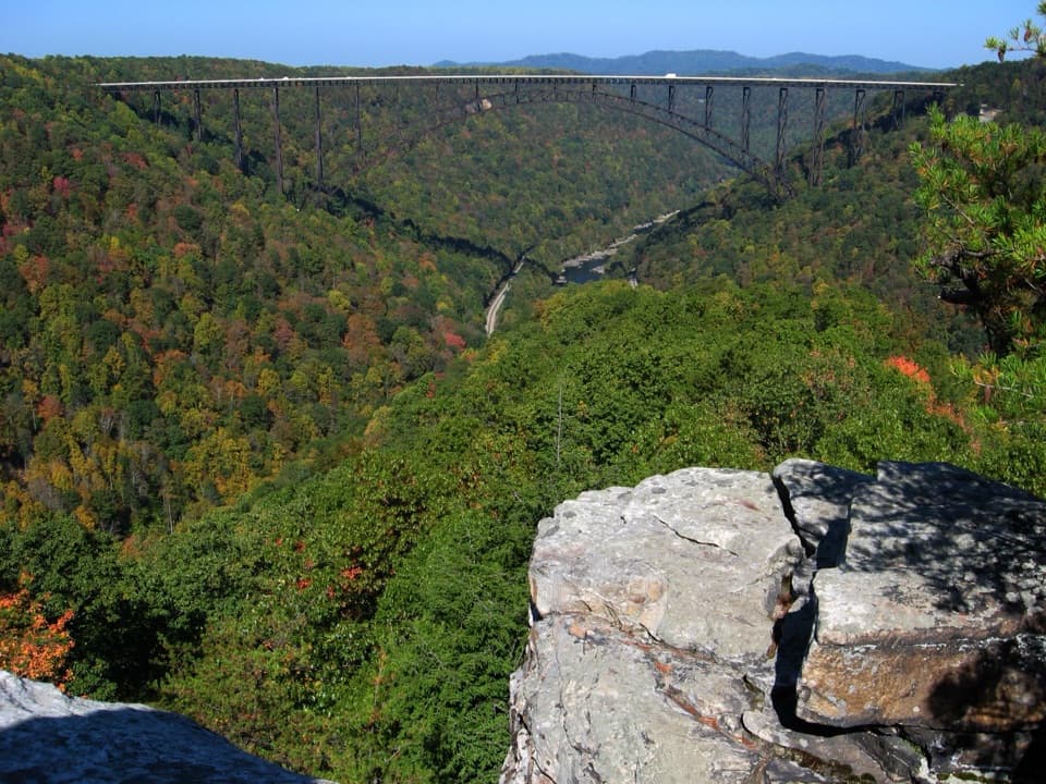
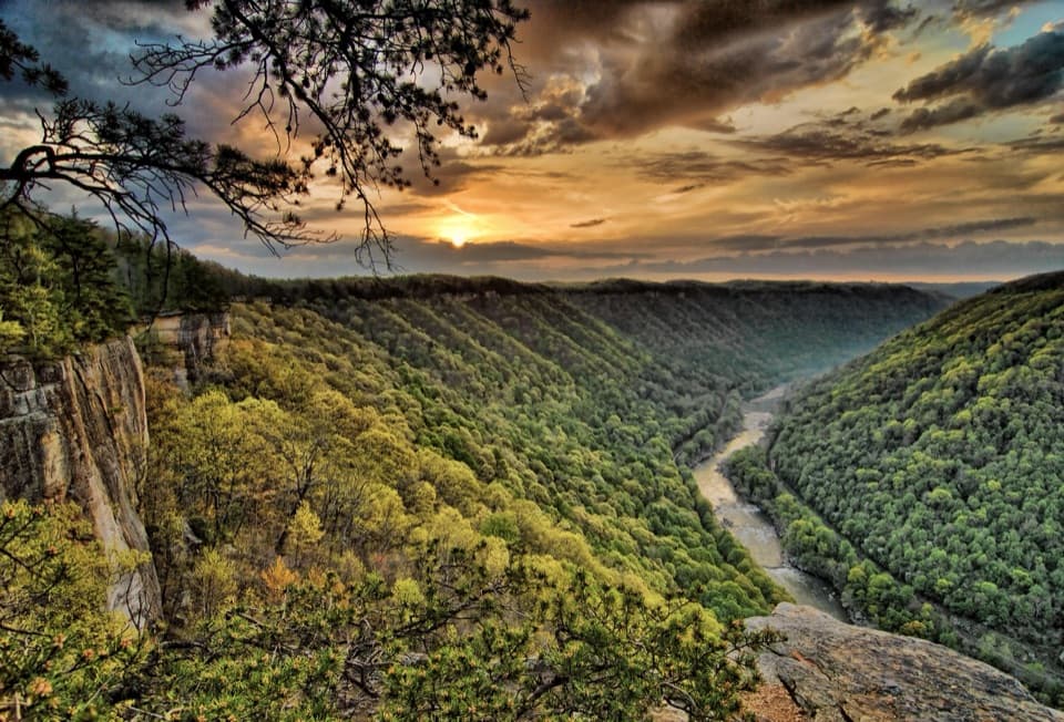
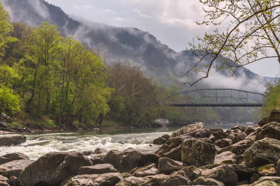
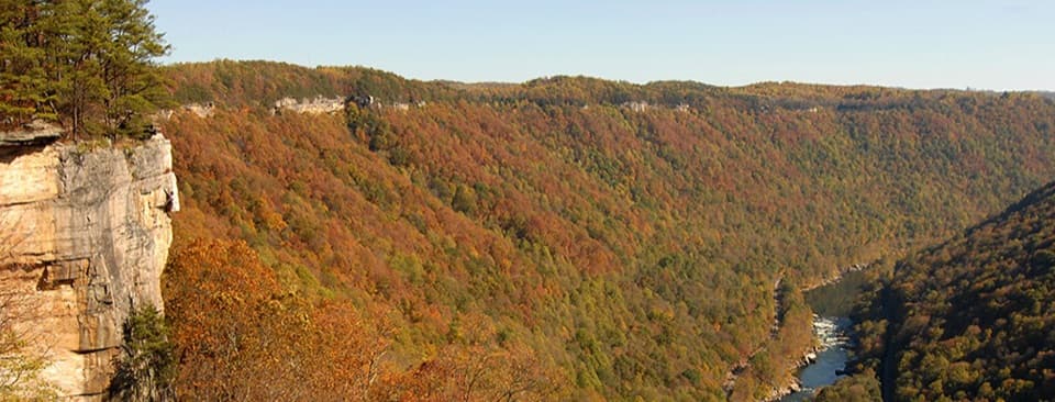
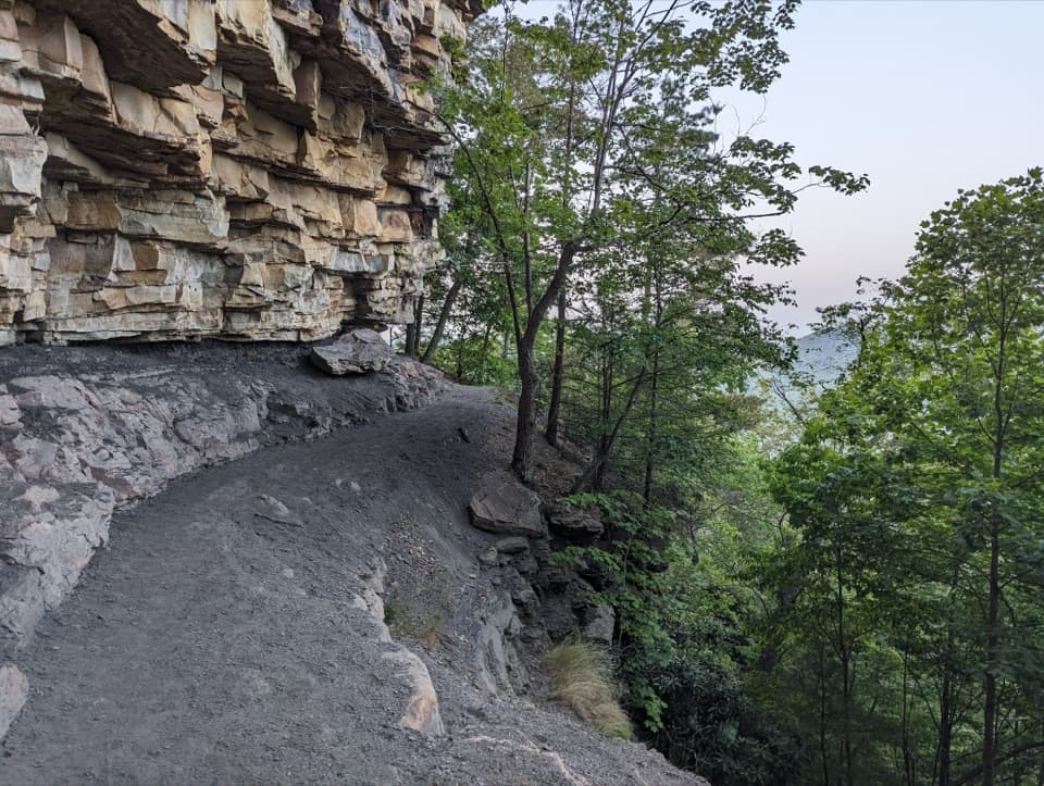
Craig Branch is a 2.4-mile one-way, multi-use gravel trail that descends toward the New River Gorge, linking directly with the Kaymoor Trail and the park’s historic Kaymoor coal mine area. Expect a forested corridor punctuated by cliffs, boulders, and intermittent peeks at the river and gorge. It’s rated moderate, but the grades are real—especially if you turn this into a loop and have to climb back out.
Underfoot it’s primarily a gravel administrative road with several steep sections, plus occasional rocky footing. Hike or bike down toward the gorge, enjoy the cooler, shaded forest, and watch for rock outcrops along the way. The descent means you’ll pay it back later; if you reverse course or complete a loop, the final climb feels stout.
At the bottom, Craig Branch meets the Kaymoor Trail, giving you access to one of the park’s signature historic sites. If you want a bigger outing, a popular loop is roughly 4.5 miles using Craig Branch and Kaymoor, commonly taking around two hours for many hikers. Near the upper trailhead you’ll also find connections to the Adena, Clovis, and Dalton trails, offering plenty of mix-and-match options for hikers and mountain bikers.
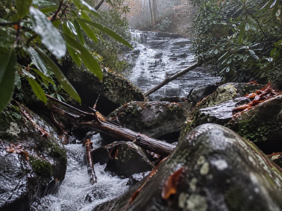
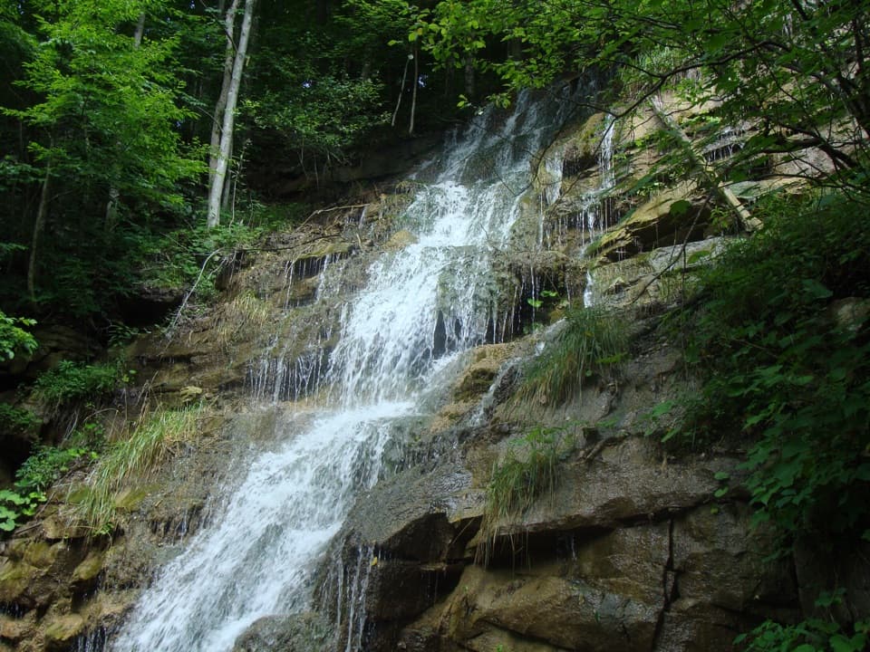
There are waterfalls along Craig Branch creek, but they are not on the Craig Branch Trail. Reaching them involves leaving established trails for service roads and difficult, sometimes hazardous terrain with loose rock and cliff bands. If you’re not specifically set up for off-trail creek scrambling, skip it.
There’s no single best season noted for this route. Forest shade makes it appealing much of the year. Fall foliage can be excellent, and wetter periods improve flow on nearby waterfalls (again, off-trail). Plan footwear and layers for the day’s conditions; steep grades can feel tougher in heat and humidity.
From US 19, take WV 16 through Fayetteville and turn left on Gatewood Road (signed for Kaymoor/Cunard). After about 2 miles, turn left on Kaymoor No. 1 Road. Continue roughly 1 mile to a T intersection, turn right, and look for the trailhead parking on the right in about 0.25 miles.
Yes—especially if you like a quieter, forested connector with legit grades and easy access to the Kaymoor history. It’s not the park’s most dramatic vista hike, but it’s a solid, versatile option that pairs well with nearby loops.
Signed lot off Kaymoor No. 1 Road: from Gatewood Road turn onto Kaymoor No. 1, go ~1 mile to a T, turn right, lot is ~0.25 miles on the right.
Several steep, gravel sections; two-way bike traffic; nearby waterfalls require off-trail, hazardous scrambling with loose rock and cliff exposure.