Parking
Old Man's Mouth car park and picnic area on the East Ayton to Hackness road, about 1.5 miles north of East Ayton on the A170.
North York Moors National Park, EN
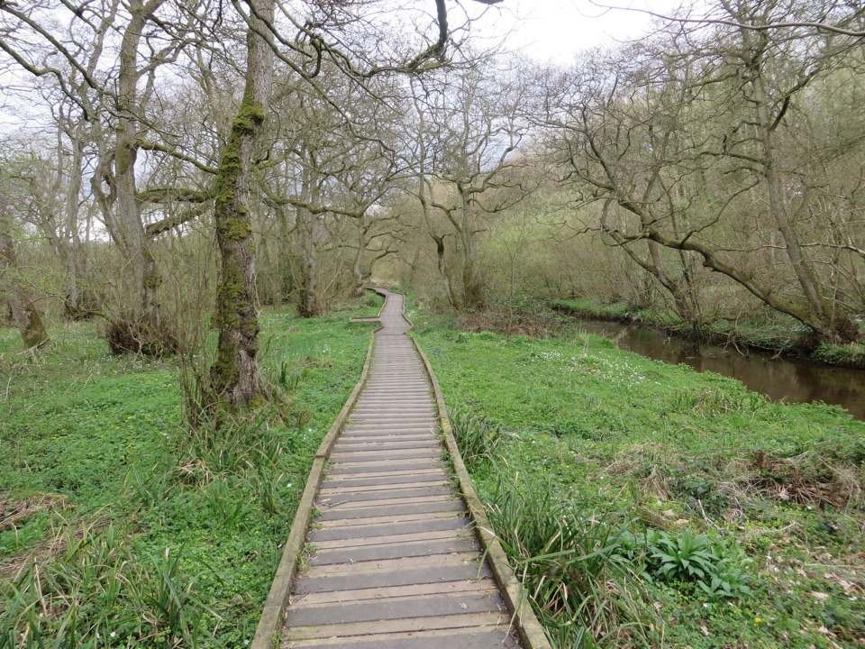
Level riverside boardwalk through ancient woodland in a meltwater gorge
Overview
Map & elevation
Plan your hike

The highest, rockiest slopes around here are a summer buffet for grizzly bears.
North York Moors Tour Guide
Parkwolf is a GPS audio tour guide for North York Moors National Park. As you drive, it chimes in with what’s ahead: hidden gems, upcoming stops, history, geology, and wildlife, right through your car’s speakers.
Recorded for this trailhead
Forge Valley Woods“You're approaching Forge Valley Woods, where a level boardwalk follows the River Derwent through a steep, wooded gorge.”
Plays as you drive up to this trailhead in the Parkwolf North York Moors Tour Guide.
More stories near here in the app
“Fantastic app with many points of information… It’s great to just turn on while you’re driving and it gives you an audio tour of the national Park. We love it!!!!”


Trail guide
An out-and-back route of 2.0 miles / 3.2 km total round trip, allowing about 1 hour at a relaxed pace. Difficulty is easy, rated 2/10, on a mostly level wooden boardwalk.
The boardwalk runs the length of the main route, with passing places for oncoming walkers. It is level and unstrenuous, which makes it workable for families and short outings. The boards can be slippery after wet weather, so slow down on the timber and watch your footing.
The valley is a steep-sided gorge cut by post-Ice Age meltwater, with the Derwent running through the middle of it. The woodland is ancient broadleaf: alder, ash, wych elm, holly and rowan. In spring the ground flora is the draw, with wild garlic and wood anemone through the woodland floor.
Nothing is guaranteed, but the reserve supports:
Pause at the viewing platforms and stay quiet for the best chance of seeing anything.
The shape of the valley comes from meltwater at the end of the last glaciation. In the 14th century, iron forges here burned charcoal made from the surrounding woodland, which is where the valley gets its name.
The start is the free Old Man's Mouth car park and picnic site, roughly 1.5 miles north of East Ayton on the A170 East Ayton to Hackness road. There is picnic space at the car park and level access at the main entrance. Keep dogs under control throughout, to avoid disturbing river wildlife, water voles and other protected species.
If the boardwalk feels too gentle, the nearby Raincliffe Woods walk is a more strenuous, steeper woodland option and pairs well with this one on the same visit.
Wildlife
 15 sightingsEurasian OtterMost seen around 7 PMSighting map
 10 sightingsRed DeerMost seen around 7 AMSighting map
 79 sightingsGrey SealMost seen around noonSighting map
 26 sightingsWestern Barn OwlMost seen around 7 PMSighting map
 33 sightingsEuropean BadgerMost seen around 7 PMSighting map
 10 sightingsMute SwanMost seen around noonSighting map
Sighting maps show where each species has been reported across North York Moors. Wildlife moves, so no sighting is guaranteed.
Keep exploring
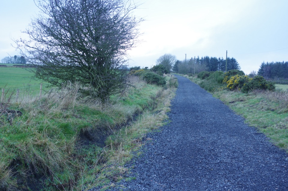 ModerateThe Cinder Track34.9 km · 9 hr · 5 km awayOld railway cinder, sea views and moor edge, Scarborough to Whitby
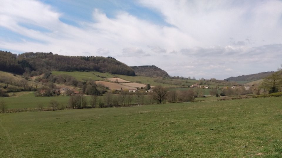 ModerateTabular Hills Walk78.7 km · 1.3 days · 6.3 km awayCoast to Helmsley in four days across flat-topped hills and wooded valleys
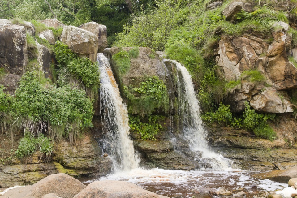 ModerateCloughton and Hayburn Wyke8 km · 3 hr · 7.5 km awayClifftop coast path to a waterfall cove, level old railway back
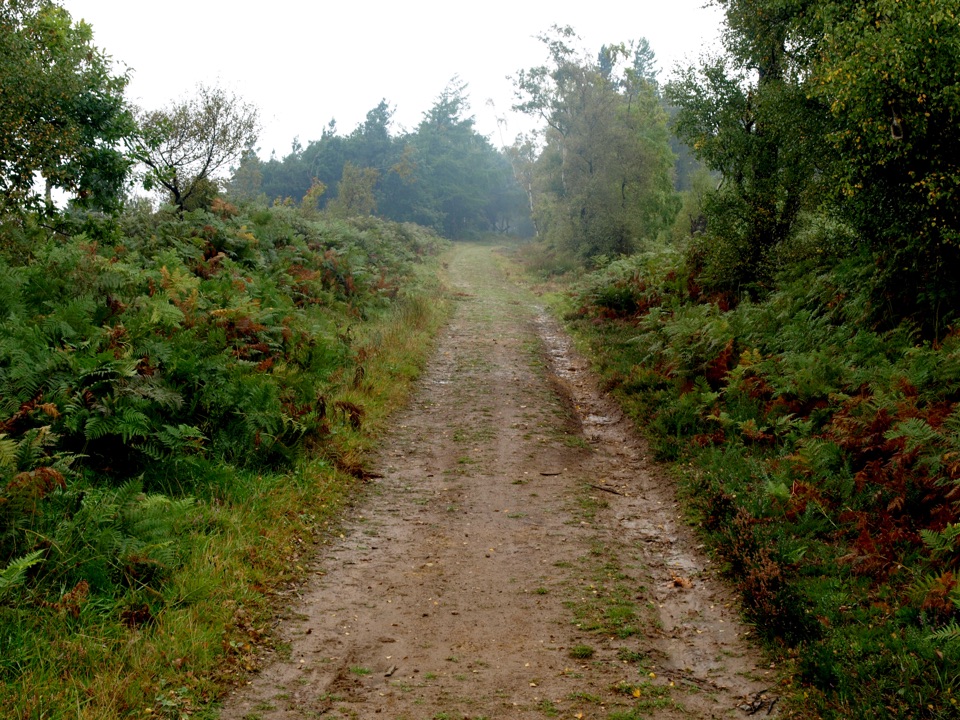 ModerateMiles without Stiles (For some) - Broxa Forest9.2 km · 2.3 hr · 7.6 km awayGentle forest tracks to an escarpment edge above Harwood Dale
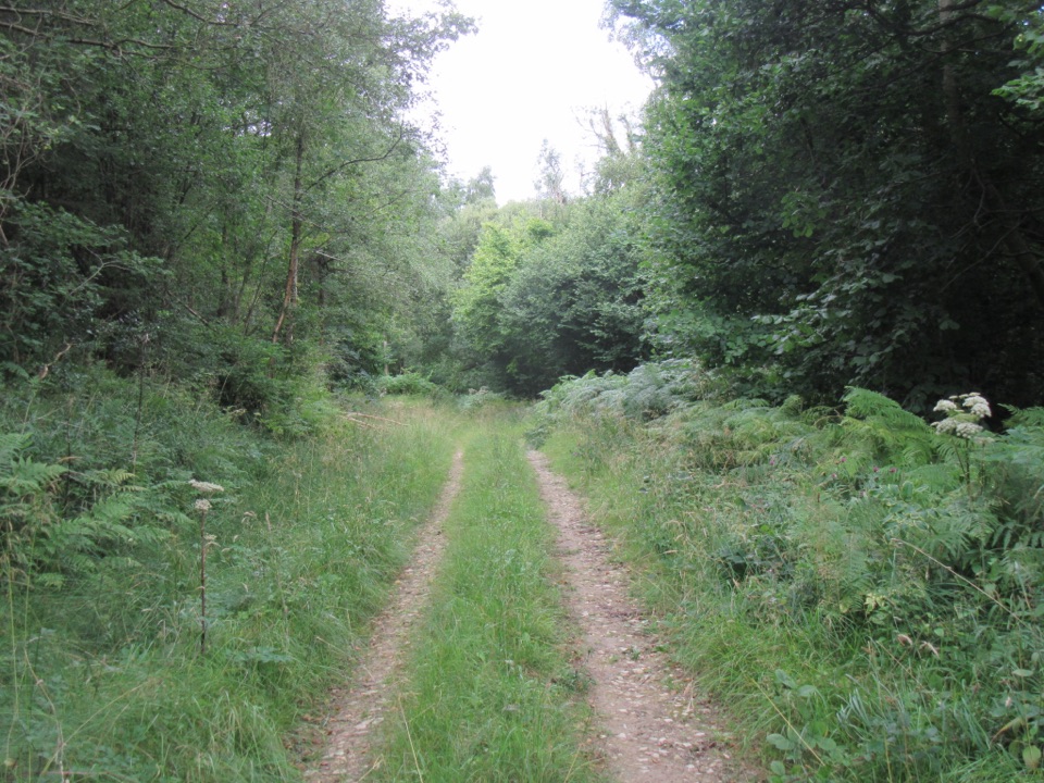 EasyDeepdale Habitat Trail2.1 km · 40 min · 8.1 km awayShort purple-marked loop into a birch-lined valley and a beck crossing
 EasyJerry Noddle Trail3.7 km · 1.3 hr · 8.3 km awayForest roads climb to Upper Langdale views and a carved sandstone shrine
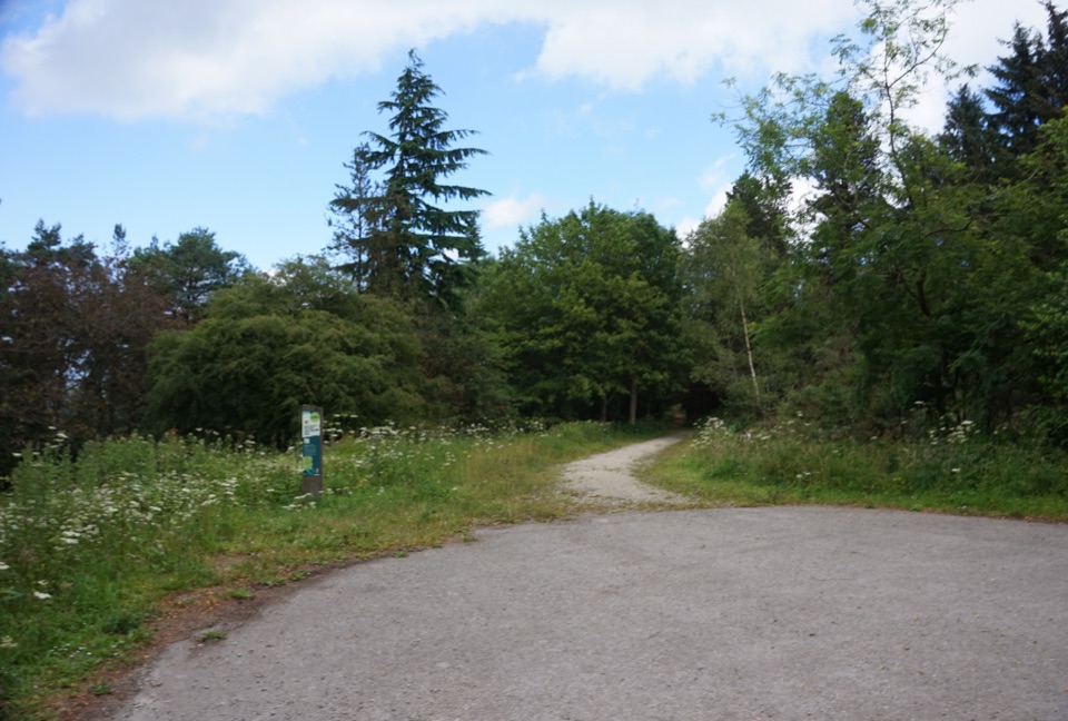 EasyWaitcliff Trail2.8 km · 54 min · 8.3 km awayGravel forest loop to plateau-edge views high above Bickley and Deepdale
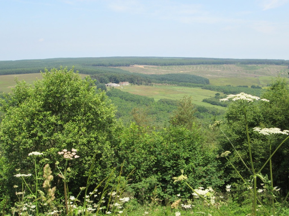 EasyCrosscliff View Trail0.8 km · 15 min · 9.9 km awayHalf a mile of level forest road to a wide moorland viewpointSight · 10.3 km awayHayburn Wyke WaterfallDouble waterfall spills through wind-twisted oaks onto a pebble cove
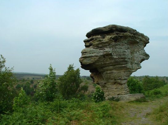 Sight · 11.8 km awayBridestones, Crosscliff and Blakey ToppingJurassic sandstone towers, heather moor and a flat-topped hill to climb
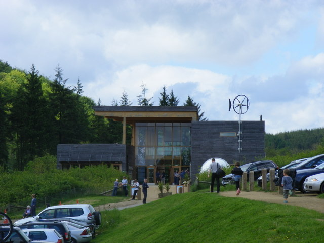 Visitor center · 12.9 km awayDalby Forest Visitor CentreTrail advice, cafe and beckside play at the forest's main hub
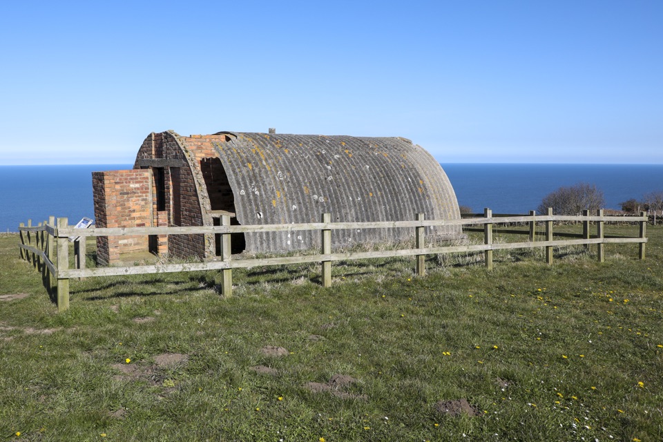 Sight · 13.7 km awayRavenscar Second World War Radar StationWartime radar buildings and hut foundations above a windswept coast
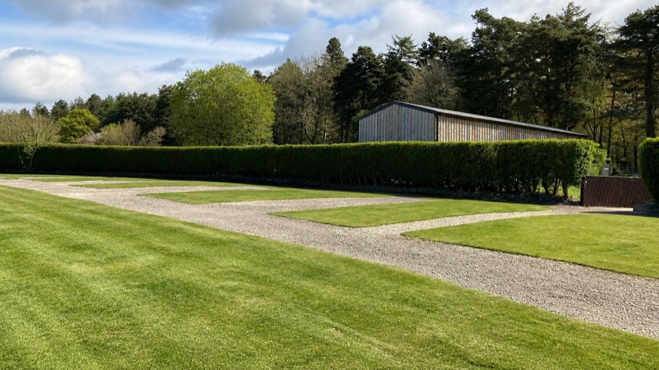 Campground · 13.8 km awayDalby Forest CampsiteFarm-field pitches with moorland views, forest trails and milk vending.
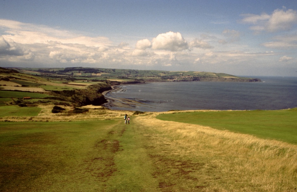 Sight · 14.2 km awayRavenscarThe town that never was, high above Robin Hood's Bay
 Sight · 15.4 km awayHole of HorcumA 400-foot heather amphitheatre with a short accessible view platform
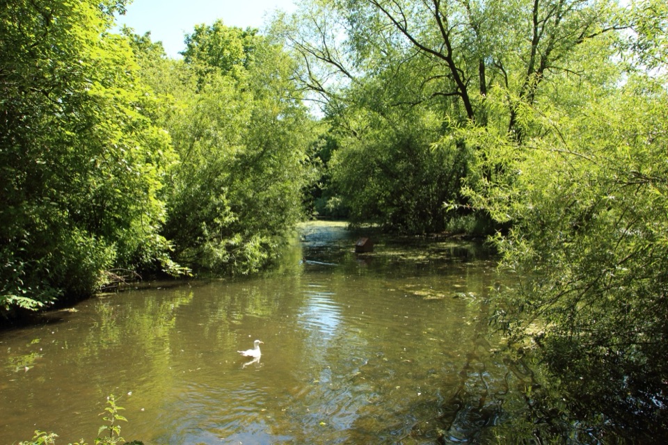 Sight · 15.6 km awayThornton-le-DaleThatched cottage, duck pond and beckside bridges in a two-minute wander
Parkwolf’s North York Moors ranking

The audio tour guide for the drive, plus offline maps, trails, and wildlife heatmaps for when the signal drops.





