Parking
Start at Safe Ways Park, the play area behind Sainsbury's on Falsgrave Road in Scarborough (YO12 5EA), near Wykeham Street bridge. Finish in Whitby via the town link to the harbour and arrange return transport in advance.
#13 of 126 trails in North York Moors
North York Moors National Park, EN
Old railway cinder, sea views and moor edge, Scarborough to Whitby
Overview
Map & elevation
Plan your hike

The highest, rockiest slopes around here are a summer buffet for grizzly bears.
North York Moors Tour Guide
Parkwolf is a GPS audio tour guide for North York Moors National Park. As you drive, it chimes in with what’s ahead: hidden gems, upcoming stops, history, geology, and wildlife, right through your car’s speakers.
Recorded for this area
The River That Turned Inland“The River Derwent begins on Fylingdales Moor, surprisingly close to the sea, yet it doesn't empty into the North Sea at Scarborough. Before the last Ice Age, it did.”
Plays on the road 3.2 km from the trailhead in the Parkwolf North York Moors Tour Guide.
More stories near here in the app
“Fantastic app with many points of information… It’s great to just turn on while you’re driving and it gives you an audio tour of the national Park. We love it!!!!”


Trail guide
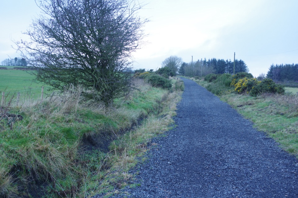
A point-to-point rail trail on the old Scarborough to Whitby railway, 21.7 miles (35 km) one way. It starts behind Sainsbury's at Safe Ways Park on Falsgrave Road in Scarborough, near the Wykeham Street bridge, and the named track finishes at the top of Stakesby Vale, with a short signed town link down the ramp past Southend Gardens and Bagdale to Whitby harbour and Station Square. Walkers and mountain bikers both use it; cyclists usually knock it off in a day.
Cuttings and Scarborough suburbia first, which is the dullest bit, then open country past Burniston and Cloughton. From there it climbs steadily into the moors: Hayburn Wyke, where a side path drops to a secluded cove, then Staintondale and the high point at the old Ravenscar station, about 631 feet up, with the alum quarry and the big view across Robin Hood's Bay. After that come deep valleys and embankments, the former Fyling Hall station, Robin Hood's Bay, Bay Ness and Hawsker, then Larpool Woods and the Larpool Viaduct high above the River Esk, looking toward Whitby Abbey. The viaduct is the moment the whole day pays off.
Call it 6 out of 10. No mountain climbs, but 8 to 10 hours of walking on a loose surface, with steady rises over Ravenscar and Hawsker and a few short steeper pitches, adds up. Fitness and foot comfort matter more than skill here.
The surface is old cinder and gravel: mostly decent, sometimes stony, rutted or rain-damaged. Fine for boots and mountain or gravel tyres, no good at all for thin road-bike tyres. Bad weather turns sections properly muddy. There are road crossings and short on-road links around Scalby, Burniston, Ravenscar, Robin Hood's Bay and Hawsker, with signalised toucan crossings at Burniston and Hawsker, so keep an eye out with kids and dogs. Waymarking is generally good but signs go missing, and a detailed map is worth carrying. Some middle stretches are remote, with limited shelter and patchy mobile reception, so take layers, water and food rather than assuming a cafe will be open when you reach it.
Dogs are welcome on the public route. In most moorland open-access land nearby they must stay on rights of way, and they need to be kept under control around livestock. On moorland between 1 March and 31 July, dogs must be on a lead shorter than 2 metres.
It is one way, so sort the return before you start. Options are the Scarborough to Whitby bus service, a taxi, two cars, or splitting it across two days with a night at one end. Doing the full out-and-back on foot is a 43-mile commitment and not worth it.
For a half-day version, walk the coastal stretch between Ravenscar and Robin Hood's Bay, or the Whitby and Hawsker end. Both are shorter, both keep the best scenery, and both are far easier to arrange transport for.
Wildlife
 15 sightingsEurasian OtterMost seen around 7 PMSighting map
 10 sightingsRed DeerMost seen around 7 AMSighting map
 79 sightingsGrey SealMost seen around noonSighting map
 26 sightingsWestern Barn OwlMost seen around 7 PMSighting map
 33 sightingsEuropean BadgerMost seen around 7 PMSighting map
 10 sightingsMute SwanMost seen around noonSighting map
Sighting maps show where each species has been reported across North York Moors. Wildlife moves, so no sighting is guaranteed.
Keep exploring
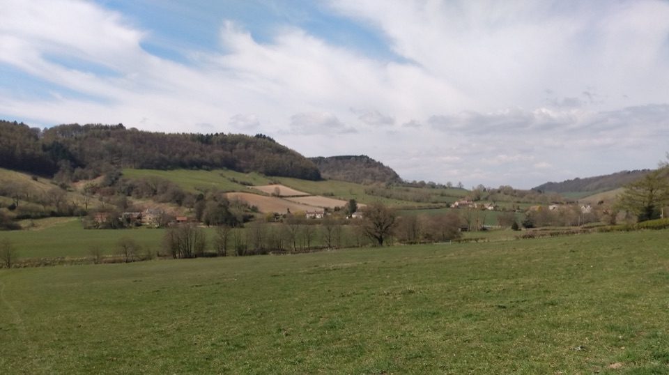 ModerateTabular Hills Walk78.7 km · 1.3 days · 2.6 km awayCoast to Helmsley in four days across flat-topped hills and wooded valleys
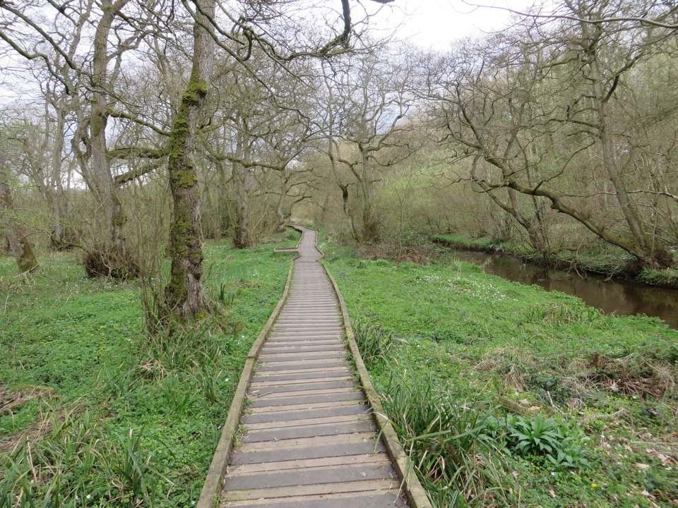 EasyForge Valley Woods Walk3.2 km · 1 hr · 5 km awayLevel riverside boardwalk through ancient woodland in a meltwater gorge
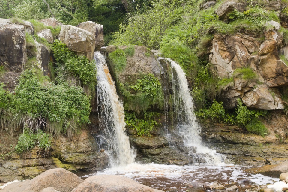 ModerateCloughton and Hayburn Wyke8 km · 3 hr · 6.3 km awayClifftop coast path to a waterfall cove, level old railway back
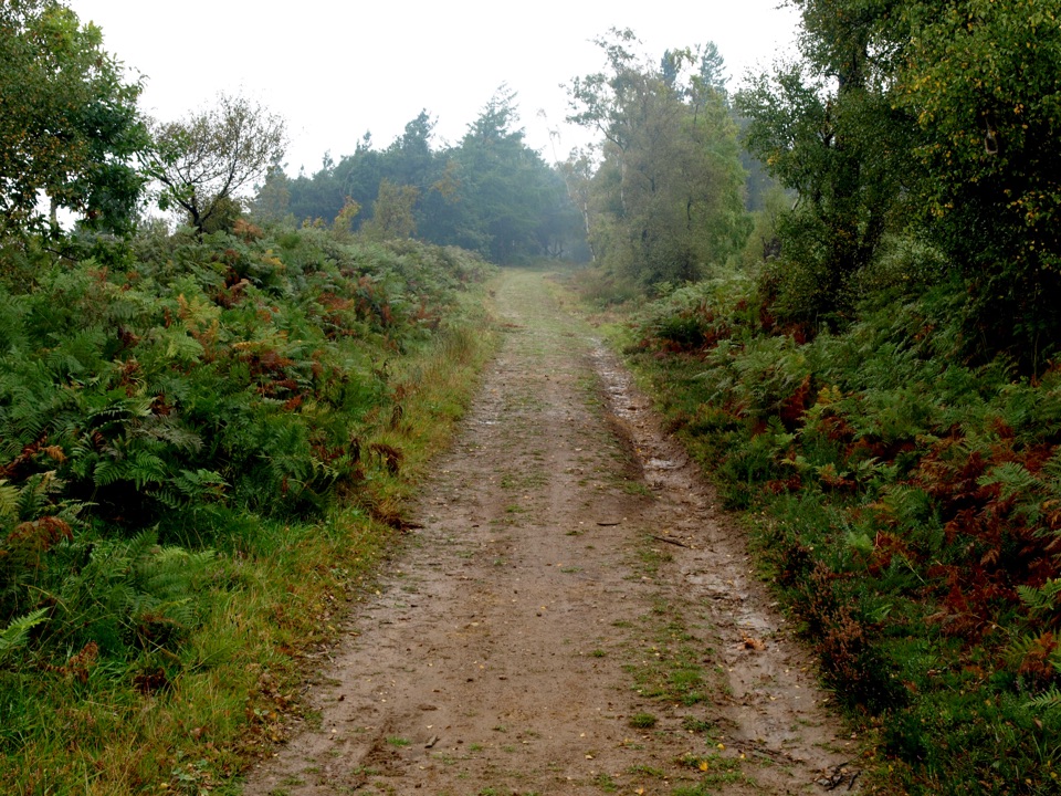 ModerateMiles without Stiles (For some) - Broxa Forest9.2 km · 2.3 hr · 9.2 km awayGentle forest tracks to an escarpment edge above Harwood Dale
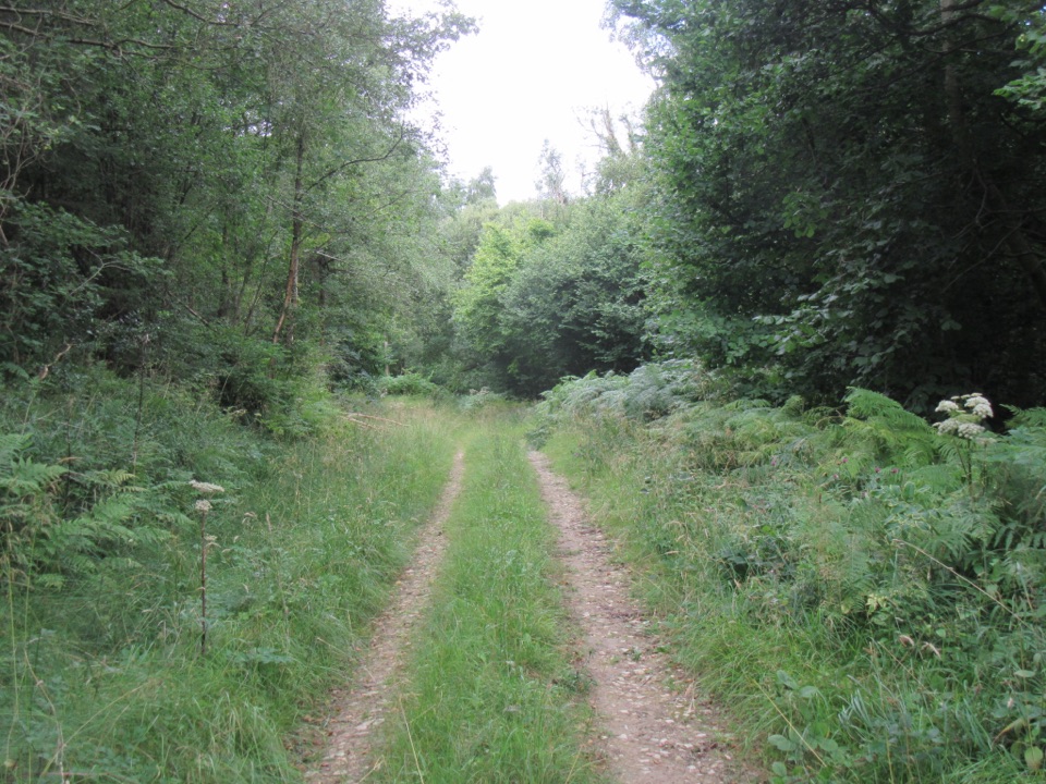 EasyDeepdale Habitat Trail2.1 km · 40 min · 12.4 km awayShort purple-marked loop into a birch-lined valley and a beck crossing
 EasyJerry Noddle Trail3.7 km · 1.3 hr · 12.5 km awayForest roads climb to Upper Langdale views and a carved sandstone shrine
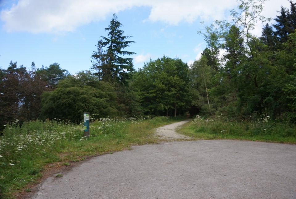 EasyWaitcliff Trail2.8 km · 54 min · 12.5 km awayGravel forest loop to plateau-edge views high above Bickley and Deepdale
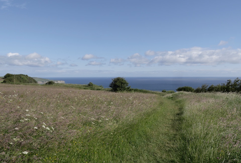 EasyMiles without Stiles (For some) - Ravenscar2.4 km · 45 min · 13.9 km awayShort cliff-top loops from Station Square, level or steeper optionsSight · 9.2 km awayHayburn Wyke WaterfallDouble waterfall spills through wind-twisted oaks onto a pebble cove
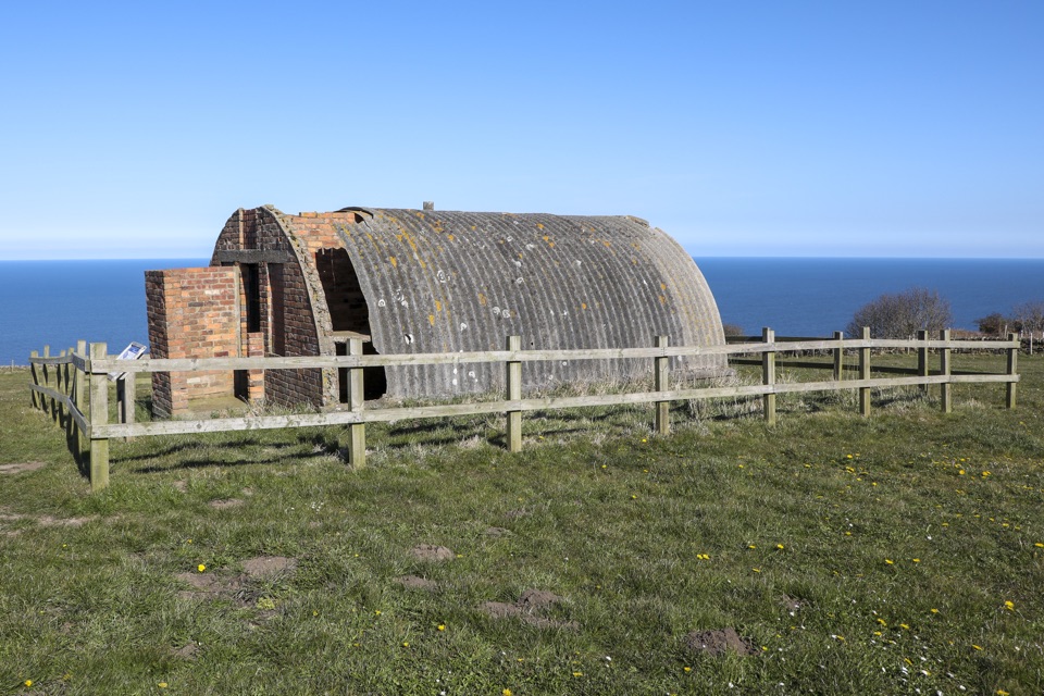 Sight · 13.2 km awayRavenscar Second World War Radar StationWartime radar buildings and hut foundations above a windswept coast
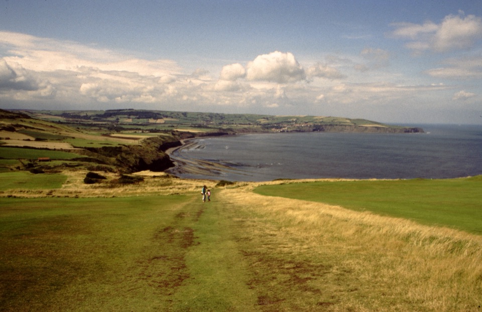 Sight · 14.1 km awayRavenscarThe town that never was, high above Robin Hood's Bay
Parkwolf’s North York Moors ranking

The audio tour guide for the drive, plus offline maps, trails, and wildlife heatmaps for when the signal drops.





