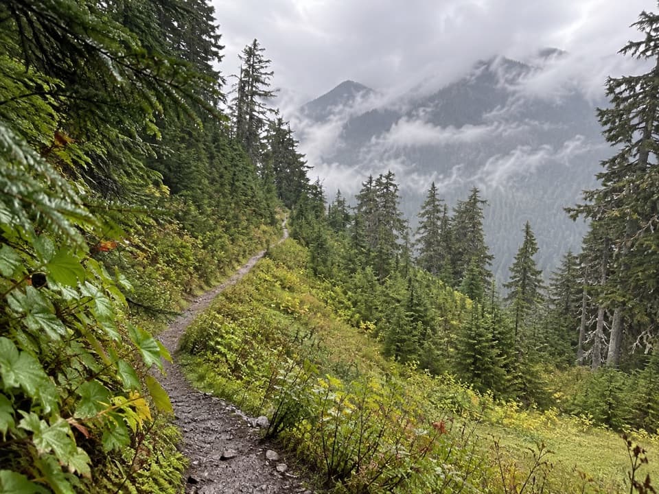
Six Ridge Primitive Trail in Olympic National Park

Olympic National Park, WA

Six Ridge Primitive Trail

A rugged ridge crossing with quiet meadows and long climbs.

Length
10.6mi
Time
10hr
Elev. change
2,835ft
Difficulty
Challenging
  • No dogs
  • High point 4,531 ft
Parkwolf audio tour204 stories across Olympic’s roads

Overview

About Six Ridge Primitive Trail

Why go

  • Open ridge patches reveal distant views toward Mount Olympus and both river valleys.
  • A remote traverse through subalpine meadow and forest.

Heads up

  • Steep, brushy tread and sections that are difficult to follow.
  • No water between the North Fork junction and Belview.

Map & elevation

The route

Loading the Olympic map
Full map
Elevation1,696–4,531 ft
TrailheadLake Sundown Campsite / Six Ridge Junction47.53615, -123.51182
Keep this map with you offline in the Parkwolf app

Plan your hike

Before you go

Parking

There is no road-side parking at either Six Ridge endpoint. Reach Lake Sundown through the Upper Skokomish/South Fork or Graves Creek trail network; the Graves Creek approach is about 7.3 miles. The North Fork end is about six miles downriver from Staircase Ranger Station. Plan a through-route and separate approach/exit, not a short trailhead walk.

Safety

Primitive, steep trail with brush and difficult route-finding; carry a map and compass and know how to use them. There is no water between the North Fork junction and Belview; treat natural water. Snow can linger into early summer on exposed slopes; travel over snow only with an ice axe and the skills to use it.

6 active Olympic alerts

  • ClosureStaircase wilderness trails and campsites remain closedMentions this trailWilderness trails and campsites around Staircase remain closed during recovery from the Bear Gulch Fire; the developed Staircase area, including the Rapids Loop, campground, and ranger station, is…Official details
  • CautionUS 101 Hoh River Bridge reduced to one laneUS 101 at the Hoh River Bridge is restricted to one lane of alternating traffic; obey the signals and 25 mph speed limit.Official details
See all 6 alerts
A park ranger sits on a dash-mounted phone, talking, as Parkwolf’s Tour Guide plays “Army Cutworm Moths: A Grizzly Bear Buffet” on Grand Loop Road below Dunraven Pass in Yellowstone
Parkwolf Tour GuideThe highest, rockiest slopes around here are a summer buffet for grizzly bears.

Olympic Tour Guide

Your drive to Six Ridge Primitive Trail, narrated.

Parkwolf is a GPS audio tour guide for Olympic National Park. As you drive, it chimes in with what’s ahead: hidden gems, upcoming stops, history, geology, and wildlife, right through your car’s speakers.

See the Olympic audio tour

More stories near here in the app

  • Graves Creek: Pony Bridge or Enchanted Valley
  • Graves Creek Campground and the River Meadow
  • The Wolves Olympic Lost
  • The Bat’s Feeding Buzz
  • 204 audio storiesacross Olympic’s roads, triggered by GPS as you drive
  • Wildlife heatmapsfor Olympic Marmot, Humpback Whale, Grey Whale, and 13 more
  • Works offlinemaps, 148 trails, 94 places, and audio download before you lose signal
  • CarPlay readysimple controls built for the drive
★★★★★
“Fantastic app with many points of information… It’s great to just turn on while you’re driving and it gives you an audio tour of the national Park. We love it!!!!”
JMJamesApp Store review
Download Parkwolf on the App StoreGet Parkwolf on Google Play

4.7 from 8,600+ ratings

Trail guide

Hiking Six Ridge Primitive Trail

A long backcountry crossingSix Ridge Primitive Trail is a steep 10.

Six Ridge Primitive Trail is a steep 10.6-mile, one-way point-to-point route from Lake Sundown to the North Fork Skokomish River. It climbs to a high ridge, crosses subalpine meadow and forest, then drops toward the river. This is a remote wilderness traverse, not a short walk from a road: the Lake Sundown approach and the North Fork exit add several miles on other trails. Budget most of a day for Six Ridge itself, and plan the connectors, transport and daylight before setting out.

Rough tread and route-findingFrom Lake Sundown, the route climbs toward Six Ridge Pass, then repeatedly gains and loses…

From Lake Sundown, the route climbs toward Six Ridge Pass, then repeatedly gains and loses elevation along the crest before a steep descent to the North Fork. Expect primitive, rocky and brushy tread, with thick growth and deadfall slowing some stretches. Sections between Belview and McGravey Lakes can be difficult to follow. Carry a map and compass and know how to use them; a phone track is not a substitute for navigation in this country.

Water and overnight rulesThere is no water between the North Fork junction and Belview.

There is no water between the North Fork junction and Belview. A spring is noted at Belview, with smaller streams and springs farther along; treat every natural source. There are no toilets on the route. Overnight campers need a wilderness permit and bear canister, and campfires are prohibited above 3,500 feet. Pets are not allowed on Olympic wilderness trails.

Reaching either endThere is no road-side trailhead at either end of Six Ridge.

There is no road-side trailhead at either end of Six Ridge. Reach Lake Sundown through the Upper Skokomish/South Fork or Graves Creek trail network; the Graves Creek approach is about 7.3 miles. At the North Fork end, Staircase Ranger Station is about six miles downriver. Treat this as a through-route with a long approach and exit, not a simple car-park hike. Mid-July through October is the usual season; snow and difficult route-finding can last into early summer, and travel on snow calls for an ice axe and the skill to use it.

Where the views openThe ridge is not panoramic all the way.

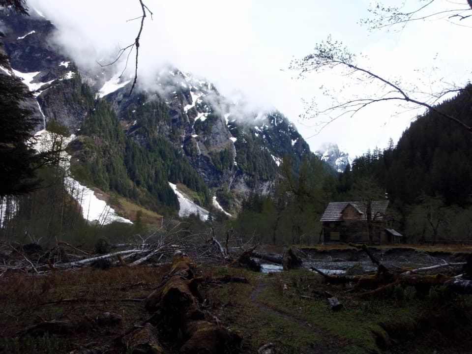
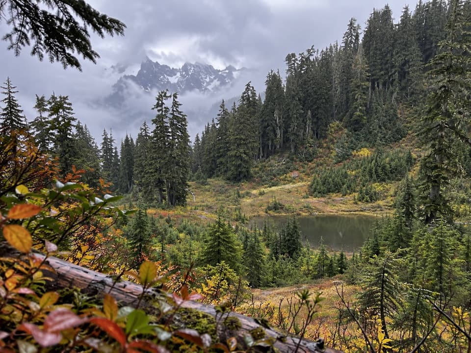
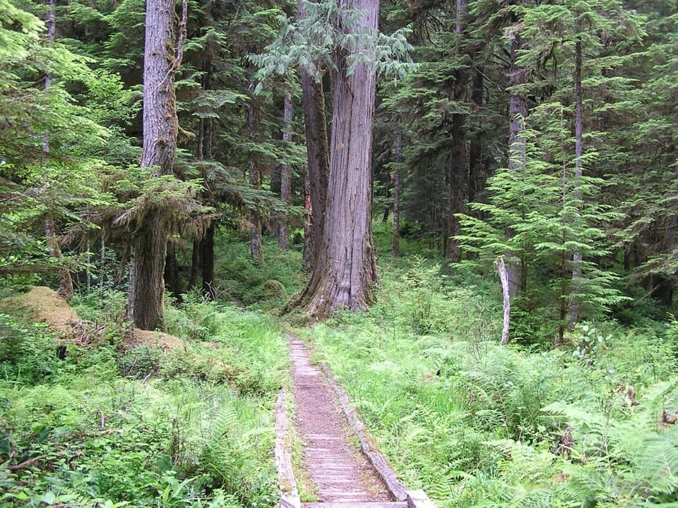
The ridge is not panoramic all the way. Open patches look across the Graves Creek and Quinault valleys, with distant glimpses of Mount Olympus. At an open meadow, keep a strip of the trail in the foreground with the forested ridges beyond; it shows both the narrow tread and the scale of the country.

Wildlife

Wildlife in Olympic

All Olympic wildlife maps

Sighting maps show where each species has been reported across Olympic. Wildlife moves, so no sighting is guaranteed.

Keep exploring

Near Six Ridge Primitive Trail

See it all on the map

Trails that start nearby

Places near the trailhead

Parkwolf’s Olympic ranking

Top-rated trails in Olympic

All 148 trails
  1. 1Hall of Mosses TrailEasy · 0.8 mi
  2. 2Hurricane Hill TrailModerate · 3.3 mi
  3. 3Sol Duc Falls Nature TrailEasy · 1.6 mi
  4. 4High Divide Loop (Seven Lakes Basin)Challenging · 19 mi
  5. 5Hoh River TrailChallenging · 34.8 mi
  6. 6Shi Shi Beach and Point of Arches TrailModerate · 8 mi

Take Parkwolf to Olympic.

The audio tour guide for the drive, plus offline maps, trails, and wildlife heatmaps for when the signal drops.

4.7 from 8,600+ ratings

Download Parkwolf on the App StoreGet Parkwolf on Google Play